This is an alphabetical listing of noteworthy places to visit in the BWCA and Quetico Provincial Park. In most cases, the nearest water body is used as a point of reference for pinpointing the location of the places in this directory.
Noteworthy Places to Visit in the BWCA
A
Agamok Bridge
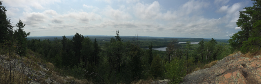
Angleworm Lookout Tower (i have picture of the cabin for this saved in angleworm trail directory)