Fishing: Too many lakes to mention; see description below
Maps: Fisher F-12, F-13, F-14; McKenzie #1, #2
Trail Water Views: Too many to mention; see description below
Fire History: Ham Lake Fire 2007, 2002 prescribed burn (Magnetic Rock section)
Wildlife Seen on Visits: Bald Eagle, Beaver, Loons
Campsites: 15 including those on spur trails; (4 visited)
Highest Trail Elevation: About 2050 feet +/- 40 feet
Last Visited: May 10, 2025;
Previous Visit(s): October 19, 2024, October 27, 2022
Scenic Overlooks: Too many to mention; see description below
Trail Connections and Trailheads: Too many to mention; see description below
Border Route Trail
Gunflint Ranger District
CAMPSITES ACCESSIBLE FROM THE BORDER ROUTE TRAIL (LISTED FROM WEST TO EAST):
Campsite 1 (#578): This campsite is toward the western end of Loon Lake Campsite 2 (#609): Campsite situated along the north shore of Topper Lake
Campsite 3 (#609): This campsite is the only one on Sock Lake. Half-mile spur trail to reach it Campsite 4 (#2063): Located on the eastern end of South Lake. Accessible via a half-mile long walk to the north along the South Lake Trail
Campsite 5 (#657): Located on the north end of Partridge Lake. Accessible via a half-mile long spur trail
Campsite 6 (#652): Third campsite east of the Stairway Portage on Rose Lake
Campsite 7 (#652): Third campsite east of the Stairway Portage on Rose Lake
Campsite 8 (#654): Located right on the Border Route Trail and away from the waters edge of Rose Lake
Campsite 9 (#653): Easternmost campsite on Rose Lake
Campsite 10 (#685): This is the first campsite east of the Clearwater Lake Entry Point. Accessible from half-mile long spur trail
Campsite 11 (#684): On the eastern end of Clearwater Lake just west of the West Pike Lake portage Campsite 12 (#723): Located near the west end of Gogebic Lake along the north shoreline
Campsite 13 (#2238): Just west of the unmaintained portage between East Pike Lake and McFarland Lake Campsite 14 (#2241): On the east side of Portage Brook just 0.04-miles from the bridge crossing.
Campsite 15 (#2240): This primitive campsite is located on the Swamp River, across the road from the East Terminus trailhead on Otter Lake Road
This web page is a work in progress. We'll keep adding more sections of the BRT to this page as they are completed.
The Border Route Trail is a 65-mile-long hiking trail that spans the northeastern corner of Minnesota along the Canadian border. The trail is part of the Superior National Forest and offers hikers stunning views of the surrounding wilderness.
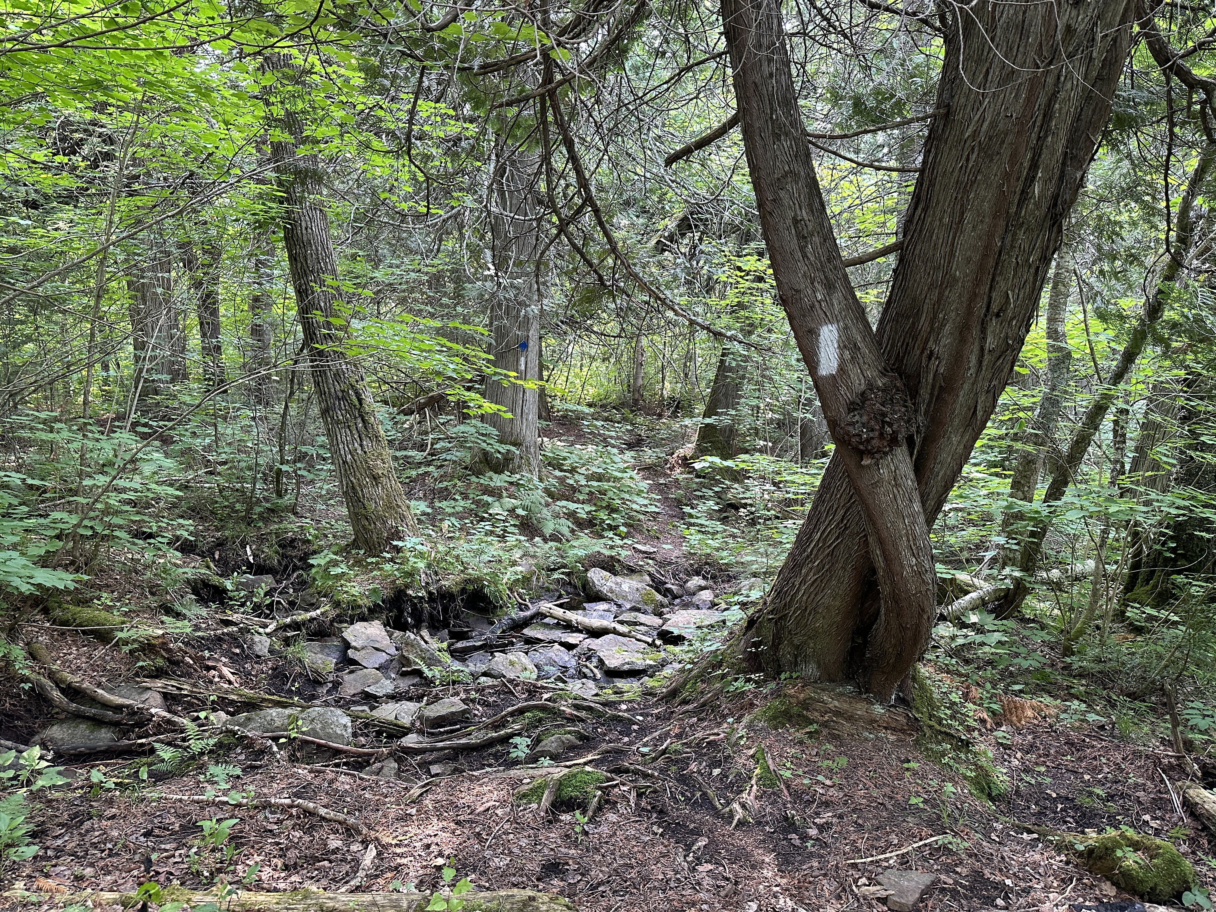
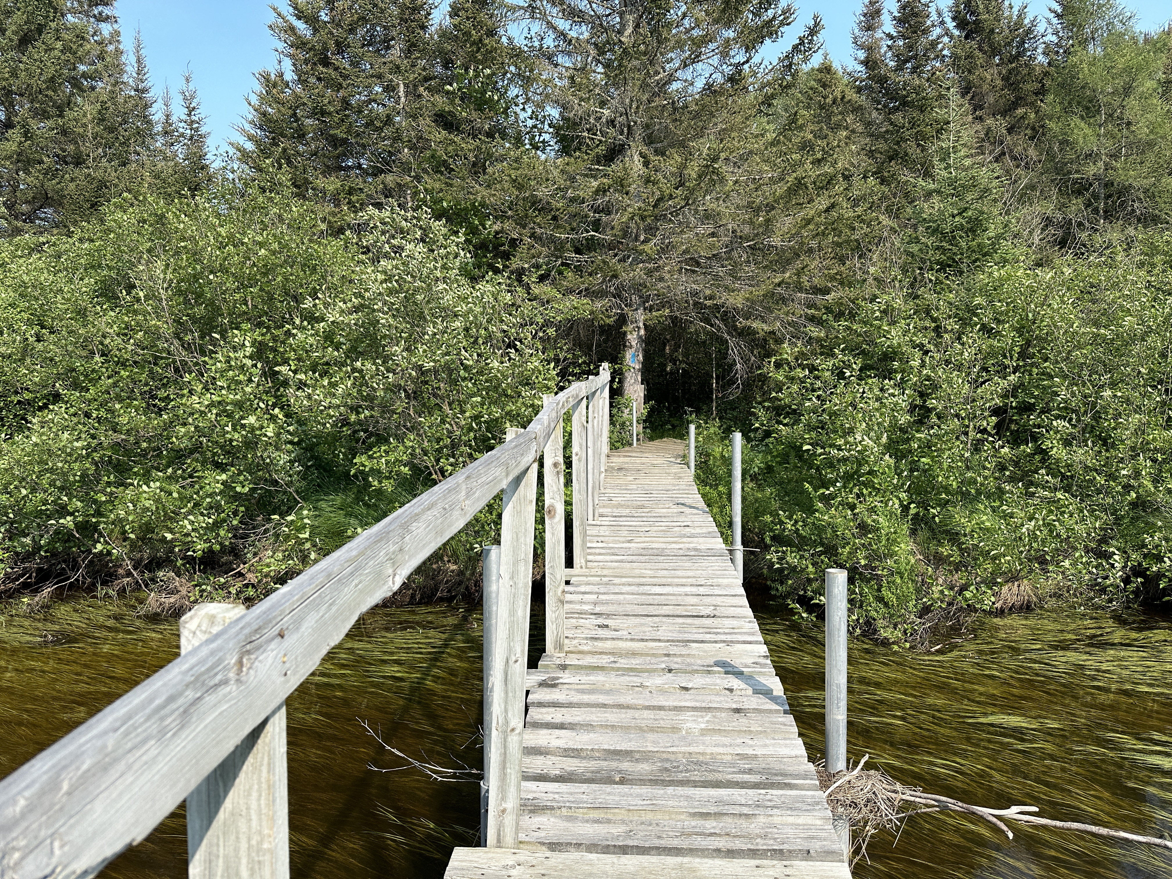
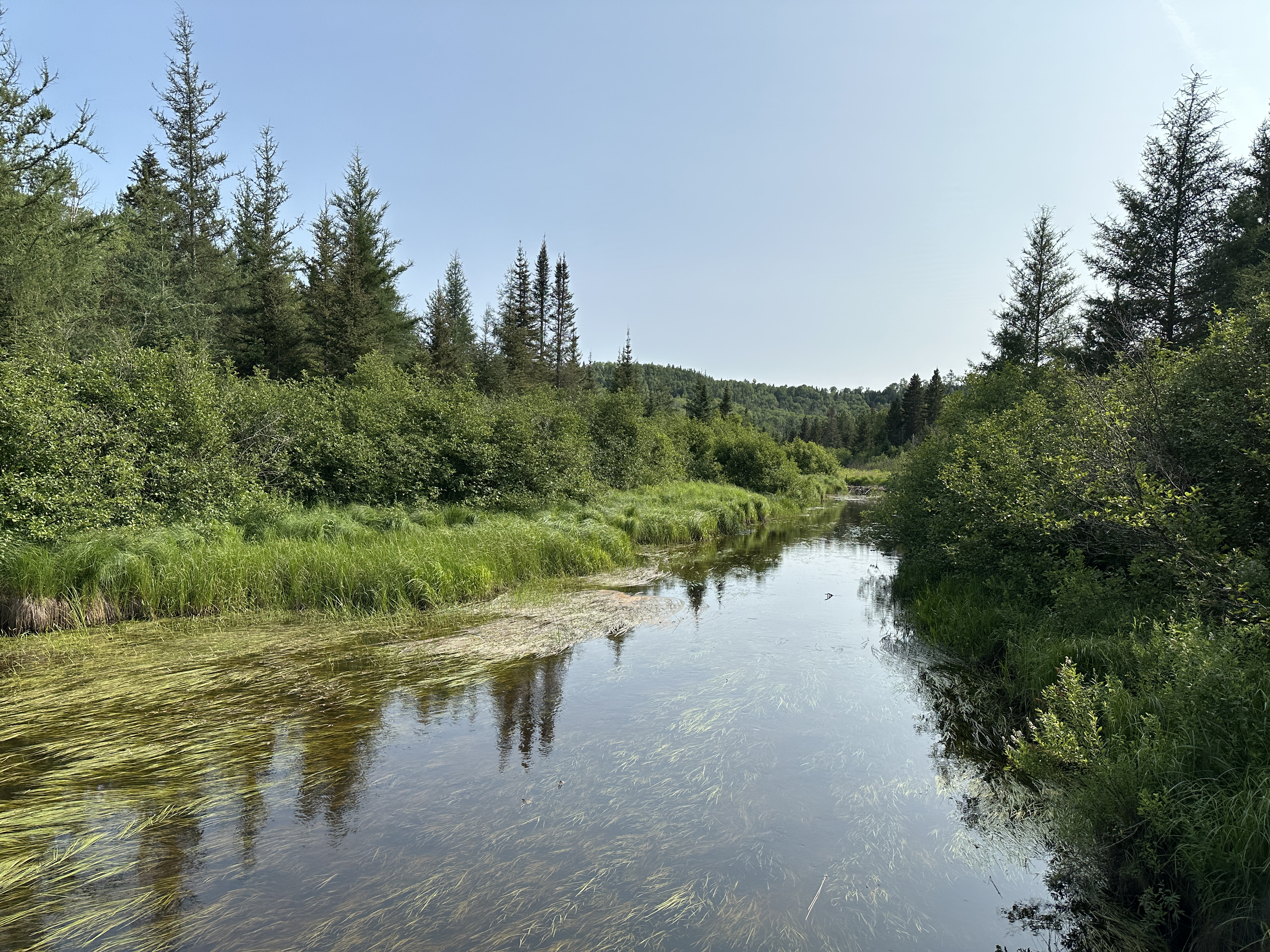
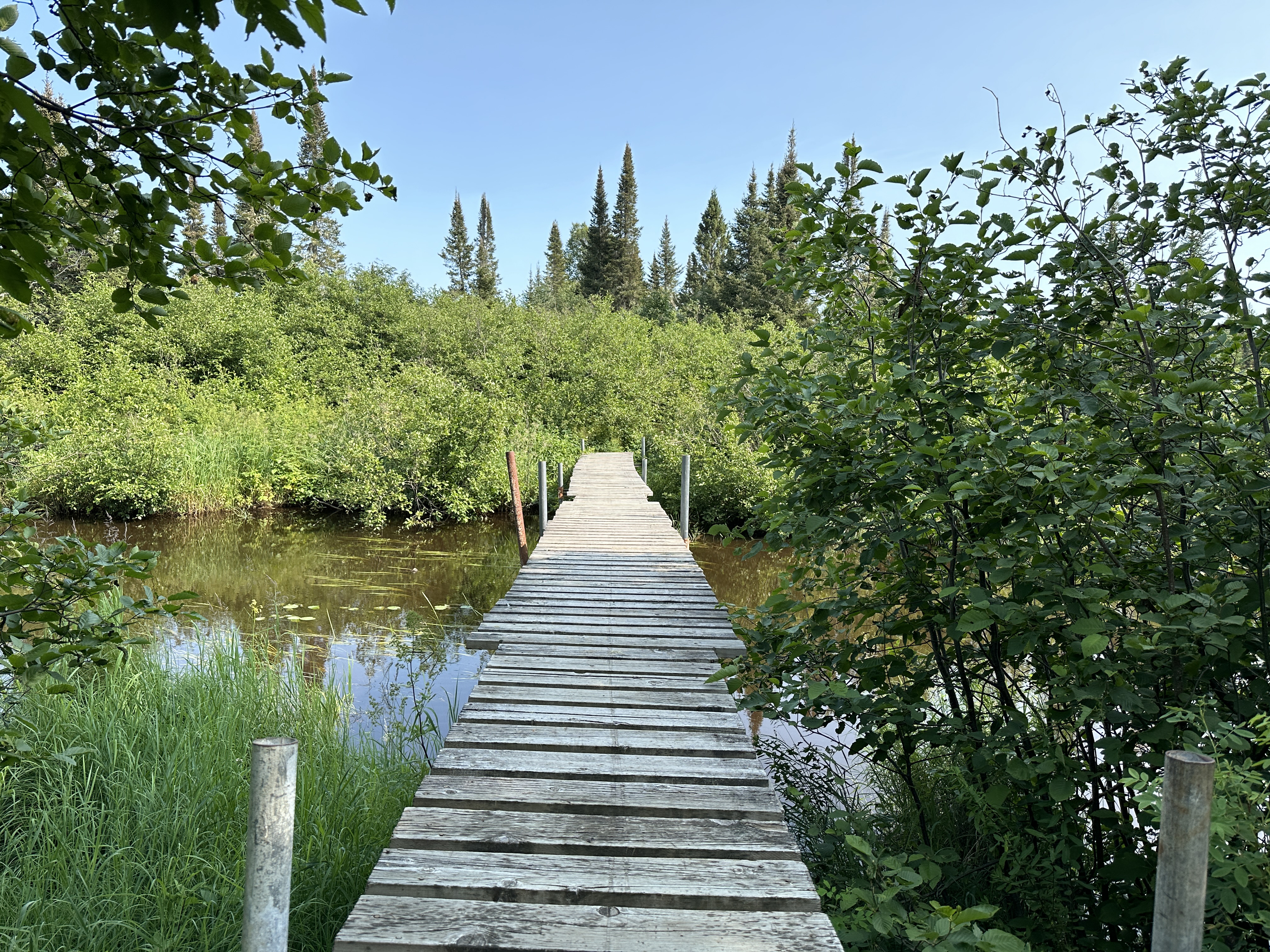
The Border Route Trail is known for its rugged terrain, steep elevation changes, and rocky paths, which make it a challenging but rewarding hike. The trail traverses a variety of landscapes, including dense forests, rocky ridges and many wetlands. The trails offers up views of many crystal-clear lakes. Hikers can experience the unique beauty of the region, including breathtaking vistas of the surrounding landscape and a chance to observe a wide range of wildlife, including bears, moose, and wolves.
The Border Route Trail is a popular destination for outdoor enthusiasts, including hikers, backpackers, and nature lovers. Hiking routes can span the range from day hikes to week long treks.
The Border Route Trail (BRT) is sandwiched between the Kekekabic Trail on the west and the Superior Hiking Trail on the east. Combined, all three trails make up the eastern portion of the North Country National Scenic Trail's route through Minnesota. The BRT winds its way through a boreal forest that grows on the thin soil that has developed over the underlying Canadian Shield, a billion plus year old rock formation. Much of the trail is in the Boundary Waters Canoe Area (BWCA).
The BRT's western trailhead is where it intersects the Gunflint Trail (County Road 12). The eastern end of the trail is along Otter Lake Road which can be accessed from the Arrowhead Trail (County Road 16). You don't have to start at either end of the BRT. The trail also has several access trails, which are themselves excellent hikes. Using these access trails, you can do day hikes or shorter overnight hikes. Access trails include: Bridal Falls Trail Caribou Rock Trail Crab Lake Trail
Daniels Lake Trail Magnetic Rock Trail (which is part of the BRT)
Moss Lake Trail
Mucker Lake Access Trail
South Lake Trail
Also, for sections of the BRT that are outside of the BWCA, there are several access points where the trail crosses roads where you can start your hike from.
The first 1.46-miles of the BRT starting from the western trailhead heading east are shared by the Magnetic Rock Trail.
Hiking the Border Route Trail (Eastbound)
To see the BRT heading westbound, scroll down to that section.
Besides the Magnetic Rock obelisk at the end of the hike, there are several expansive views of the Superior National Forest along this hike. The hike is about 1.5-miles long and makes for an easy day hike. This is also the western end of the 65-mile long Border Route Trail (BRT). The BRT continues past Magnetic Rock.
This overlook provides a nice view to the south. The pond is the one you passed not long after leaving the trailhead.
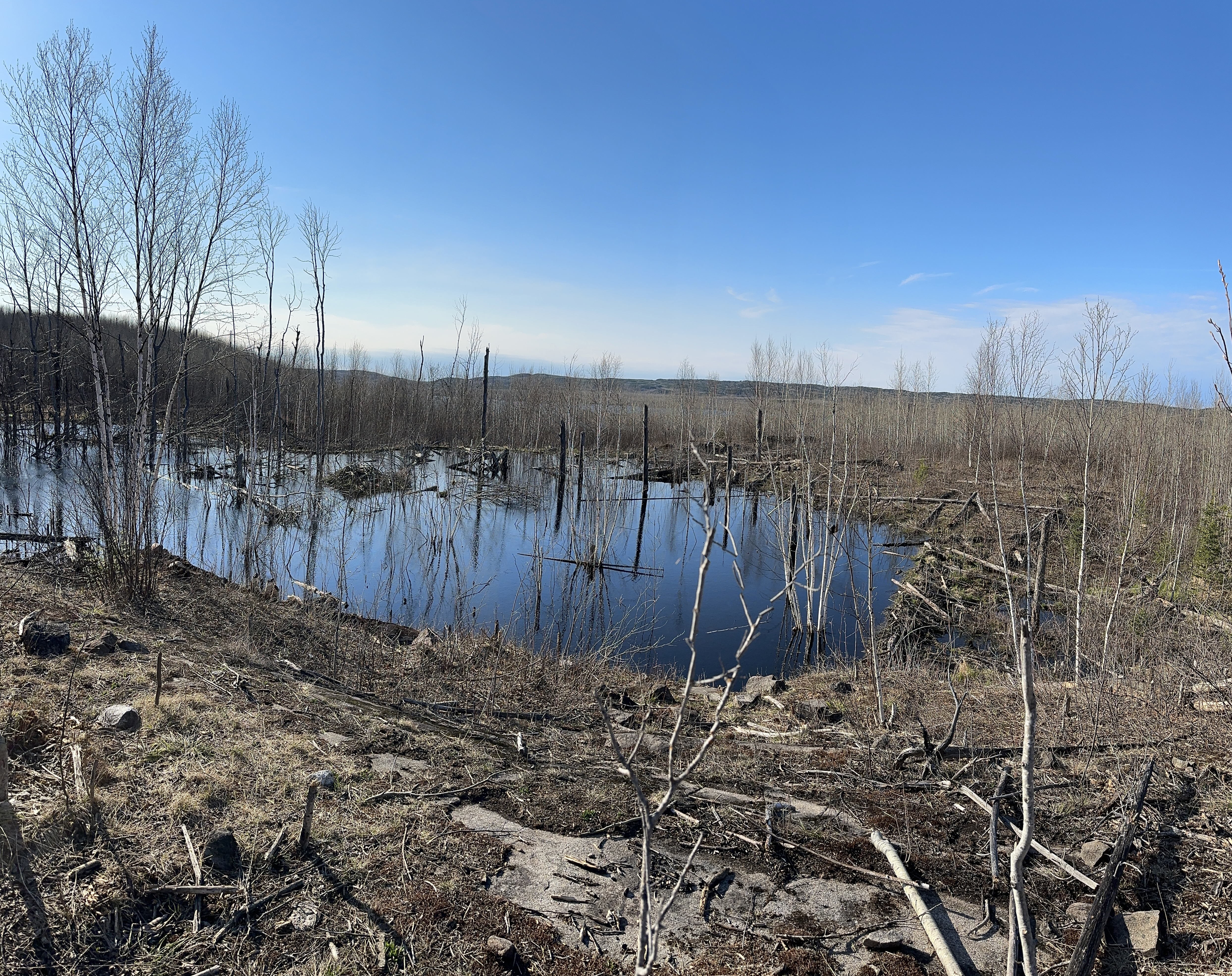
Fine view of some beaver ponds located in a depression surrounded on one side by the ridge you are standing on and by hills on the other side. This view is toward the west. The pond in question is located about 300 yards east of the Gunflint Trail.
Another wider angle view of the image above.
This is the eastern end of the Larch Creek valley overlook.
Looking in a more westerly direction of the rest of the Larch Creek valley. The creek runs along the far side of this bog along the tree line.
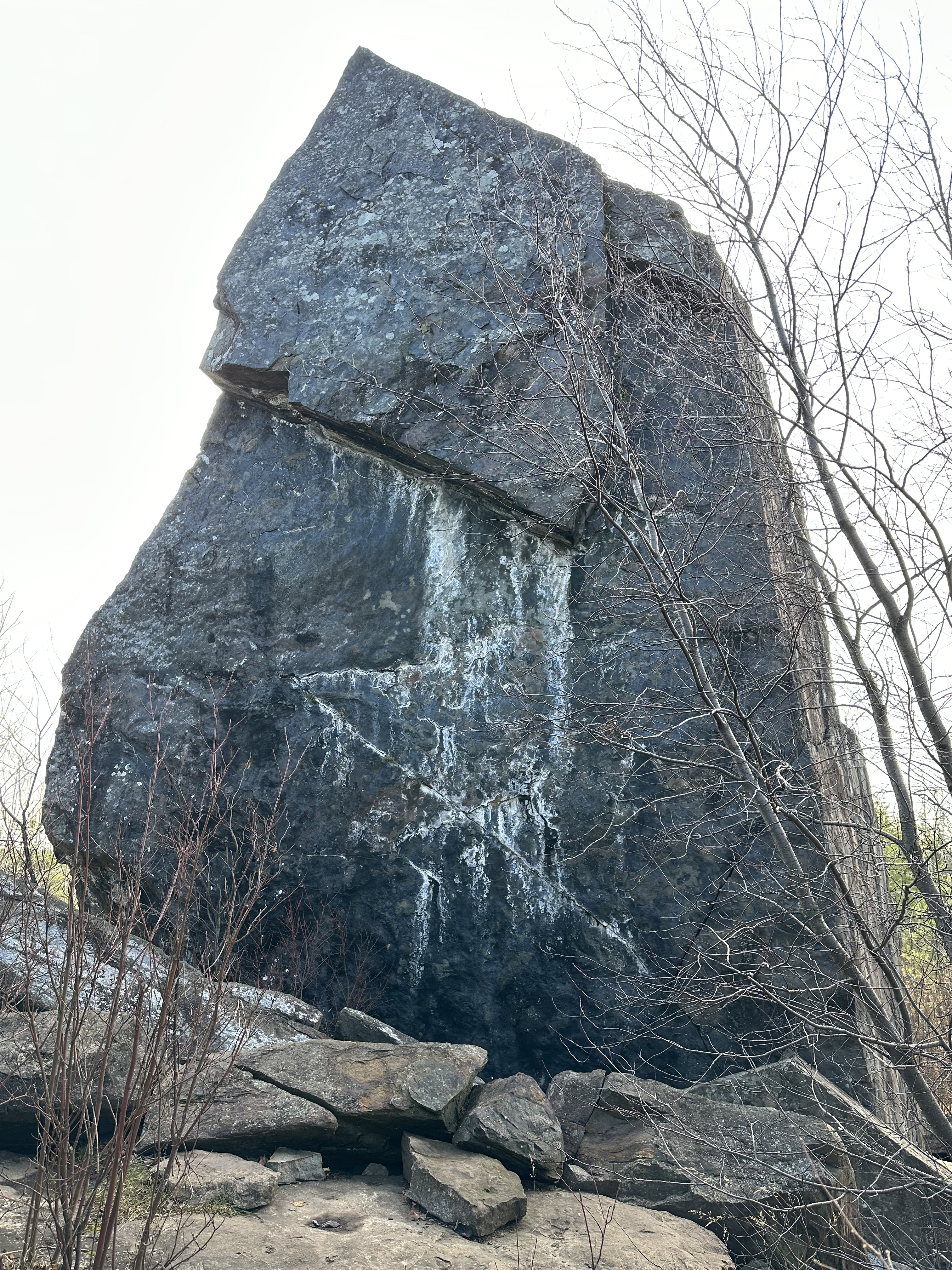
As you head east down the trail, this will be your first view of Magnetic Rock. This is 1.46-miles from the trailhead. The Border Route Trail Guide states that the height is 40 feet.
View from the otherside of Magnetic Rock. You are facing to the southeast.
Close up view of the base of Magnetic Rock.
HIKING FROM THE BRIDAL FALLS SPUR TRAIL TO THE CRAB LAKE TRAIL CUTOFF
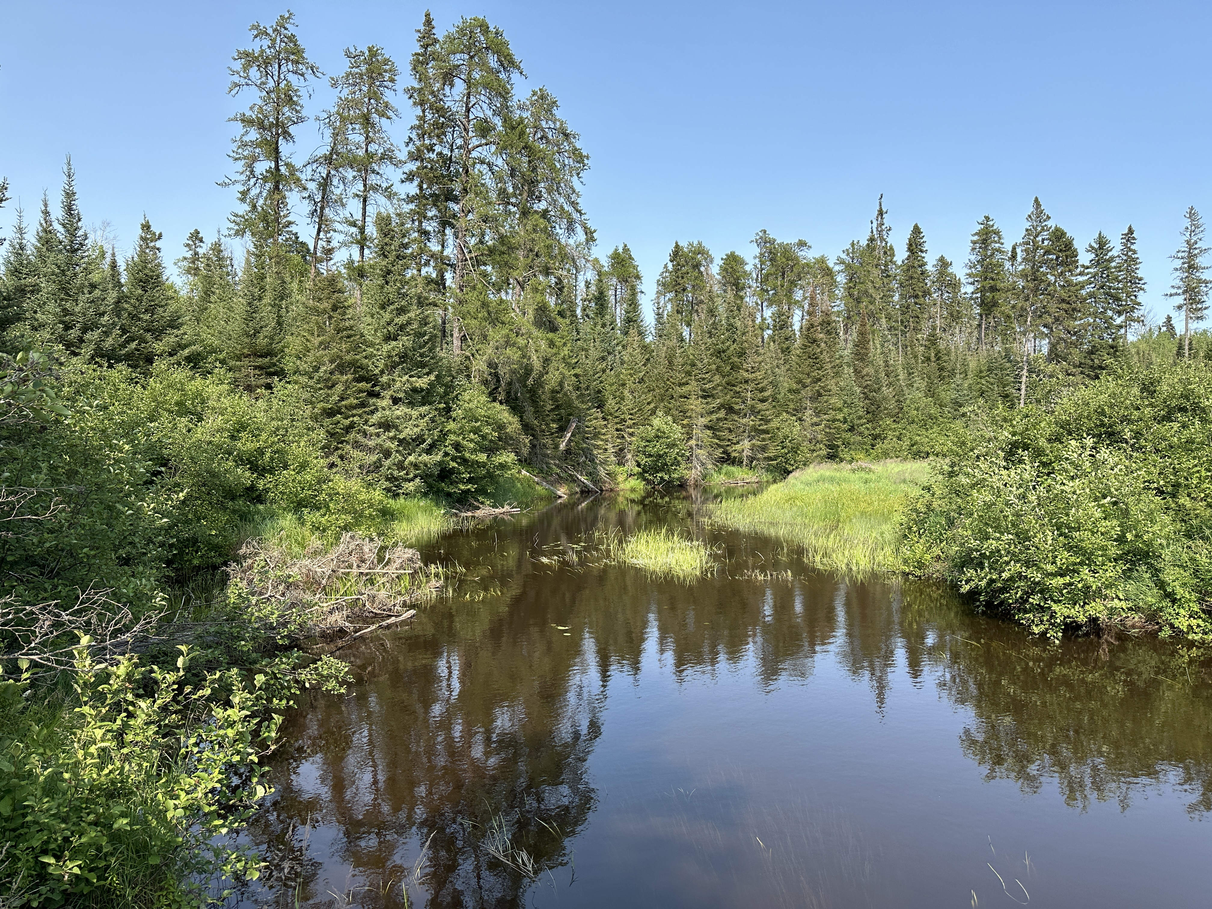
A few hundred feet east of the 'Bridal Falls' sign marking the spur trail to the waterfall, the trail crosses a wooden bridge over the west channel of the creek just above the waterfall. The creek rushes through a rock funnel beneath the bridge. The trail then threads its way upstream between the creeks two channels. If the water is high, it is a wet crossing of the second (east) channel. There is a great overlook of Gunflint Lake. You can also see tiny Saucer Lake from this vantage point, just east of Gunflint Lake. There is a pleasant beaver pond overlook shortly before the BRT intersects the Crab Lake Trail Cut-Off.
Spur trail to Bridal Falls. The trail is marked by a sign saying 'Bridal Falls'. From the intersection with the BRT, this spur trail heads fairly steeply downhill. It's a short walk of less than 5 minutes. This is a view of Bridal Falls during the spring runoff.
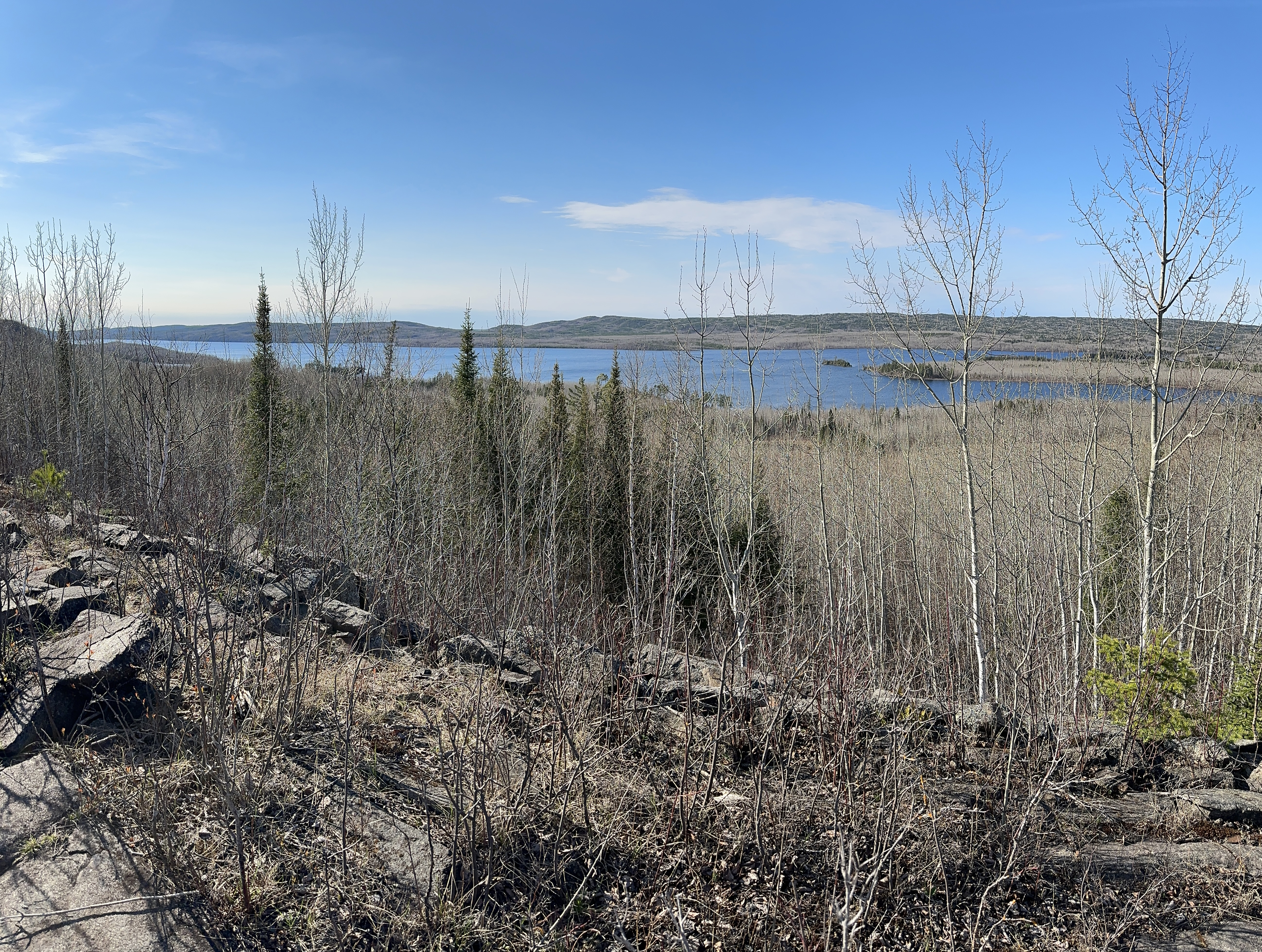
View of Gunflint Lake. Tiny Saucer Lake is also just visible to the far right somewhat obscured by the trees..
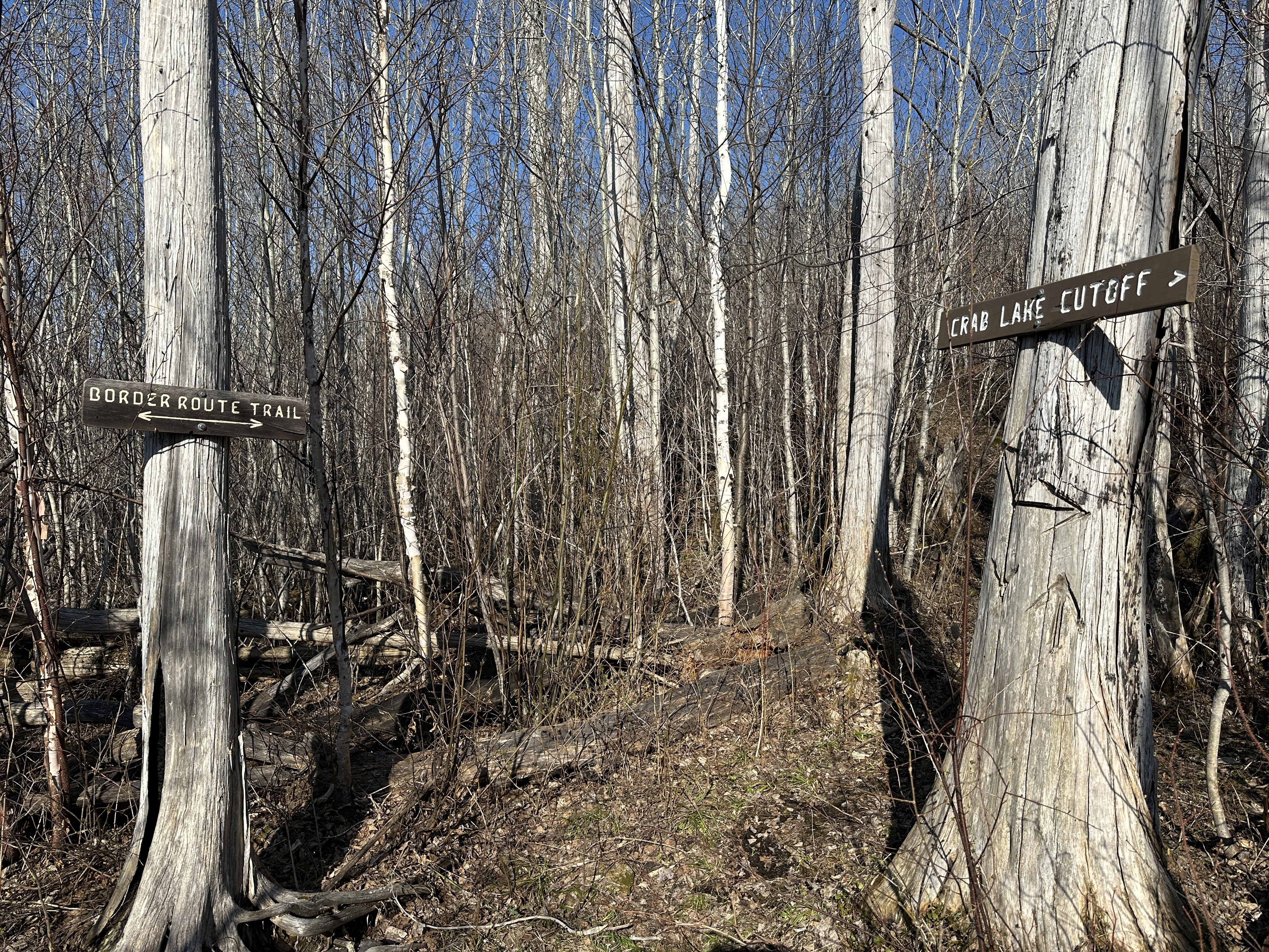
Signage marking the junction of the Border Route Trail and the Crab Lake Cut-Off Trail.
HIKING FROM THE DANIELS LAKE CUTOFF TO ROVE LAKE
This video starts at the Daniels Lake Cutoff, which is the portage that connects the Border Route Trail to Daniels Lake. Also, the Daniels Lake Cutoff is the northernmost section of the Daniels Lake Trail. The Daniels Lake Trail is an access trail to the BRT. Between the Daniels Lake Cutoff and Rove Lake, the BRT follows the Long Portage, the 660 rod haul that connects Rove Lake to Rose Lake. This little section is about 0.75-miles long.
HIKING FROM CLEARWATER LAKE TO GOGEBIC LAKE
This is Clearwater Lake looking in the southwest direction. The Border Route Trail is combined with the Clearwater Lake/West Pike Lake portage from this point until about halfway across the portage. At roughly the halfway point, the portage and the BRT split. There is a campsite located on that point to the right side of your view. The BRT runs right behind that campsite which is BWCA Campsite 684.
For about a 100 rods or so, the Border Route Trail follows the same path as the portage between Clearwater Lake and West Pike Lake. It then splits off to the right and soon crosses a small bridge over a babbling creek. This creek drains Clearwater Lake into West Pike Lake. The trail continues to the east/southeast in an undulating, snaking manner to the shore of Gogebic Lake. The Last 50 rods or so of this section follow the rather difficult portage between Gobebic Lake and West Pike Lake.
HIKING FROM GOGEBIC LAKE TO BWCA CAMPSITE 723 ON GOGEBIC LAKE
View of Gogebic Lake as you clear the trees along the Border Route Trail.
Once the BRT reaches the north shore of Gogebic Lake, it bends to the west and follows the shoreline fairly closely until reaching BWCA Campsite 723.
The view you'll have of Gogebic Lake from the campsite. The shoreline is easily accessed from this site. Gogebic Lake is regularly stocked with brook trout if you happened to pack a fishing pole.
Click on the photos below to see the full resolution image - Use your browsers back button to close photo and return to this page.
HIKING FROM THE EASTERN TERMINUS AT OTTER LAKE ROAD TO THE 270 DEGREE OVERLOOK SPUR TRAIL
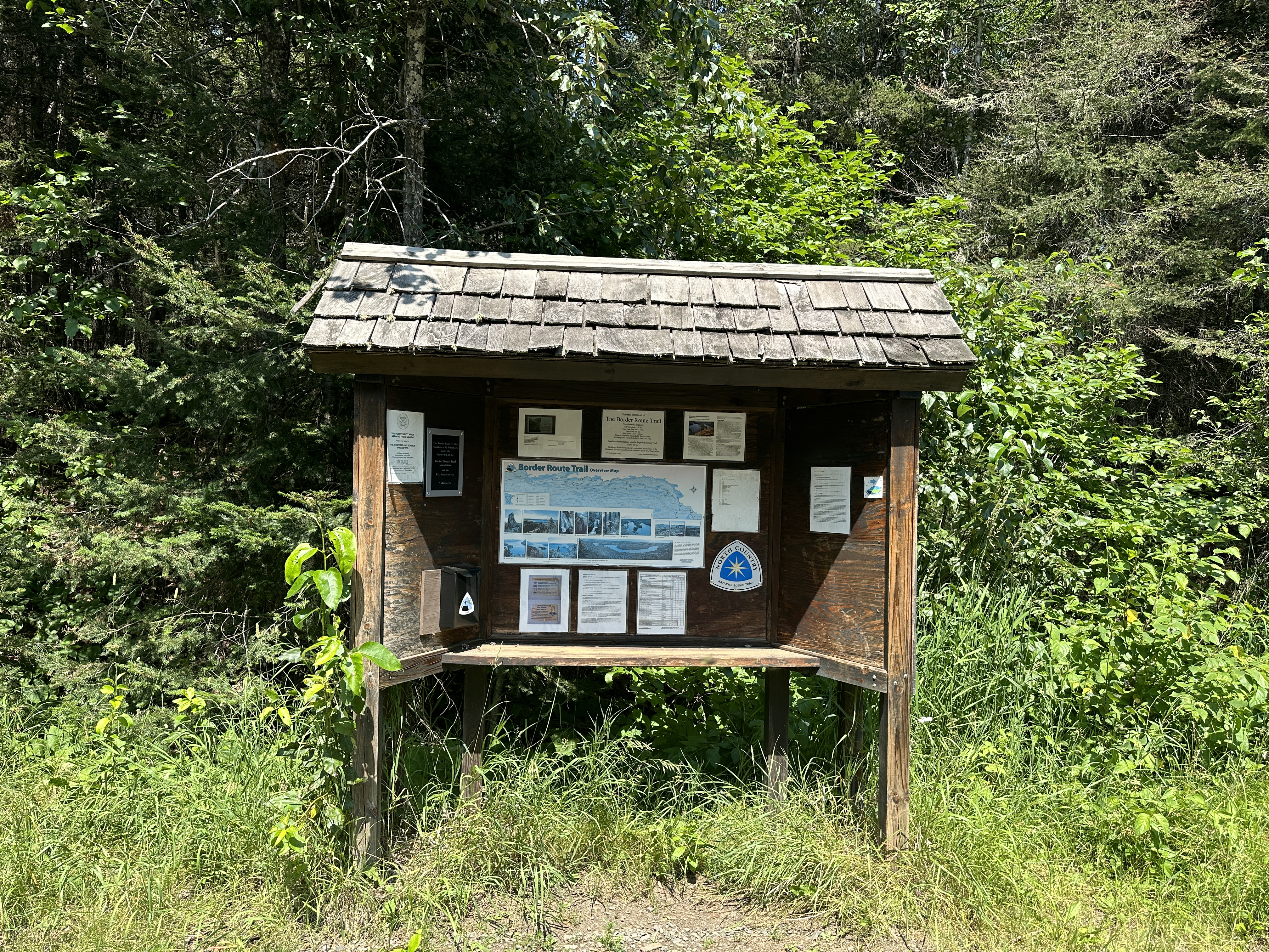
Bulletin board at the eastern terminus of the Border Route Trail.
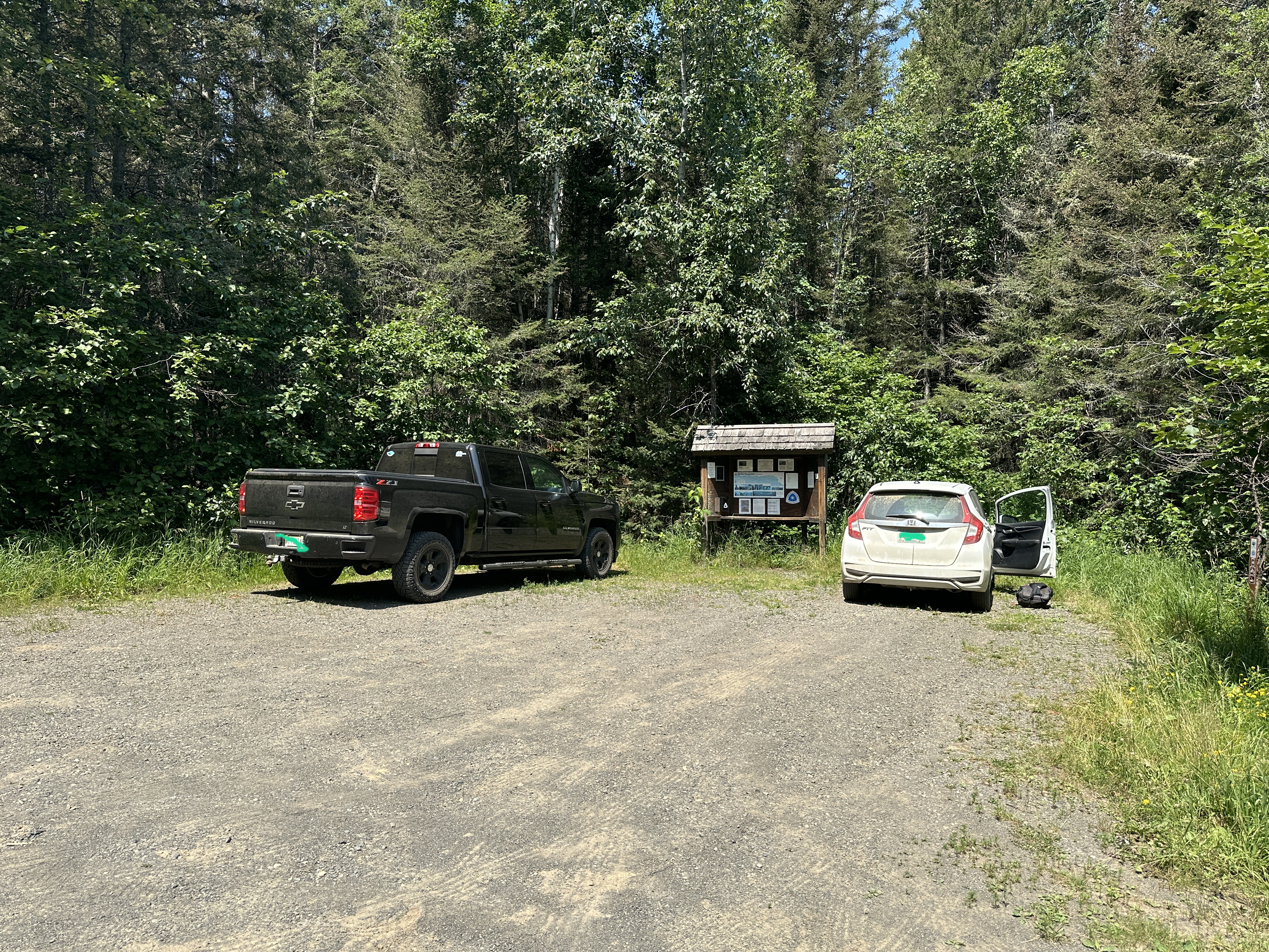
Parking lot along Otter Lake Road.
Start of the Border Route Trail, heading westbound.
For about the first 600 feet, the BRT parallels the Swamp River, heading northbound. The trail continues roughly northbound for 0.91-miles before coming to the intersection with a spur trail. This spur trail leads to 270-Degree Overlook. This overlook marks the northern terminus of the Superior Hiking Trail (SHT). The SHT and BRT share the trail from the eastern trailhead to this location.
SPUR TRAIL TO THE 270-DEGREE OVERLOOK
Official northern end of the Superior Hiking Trail. Logbook in the blue metal box.
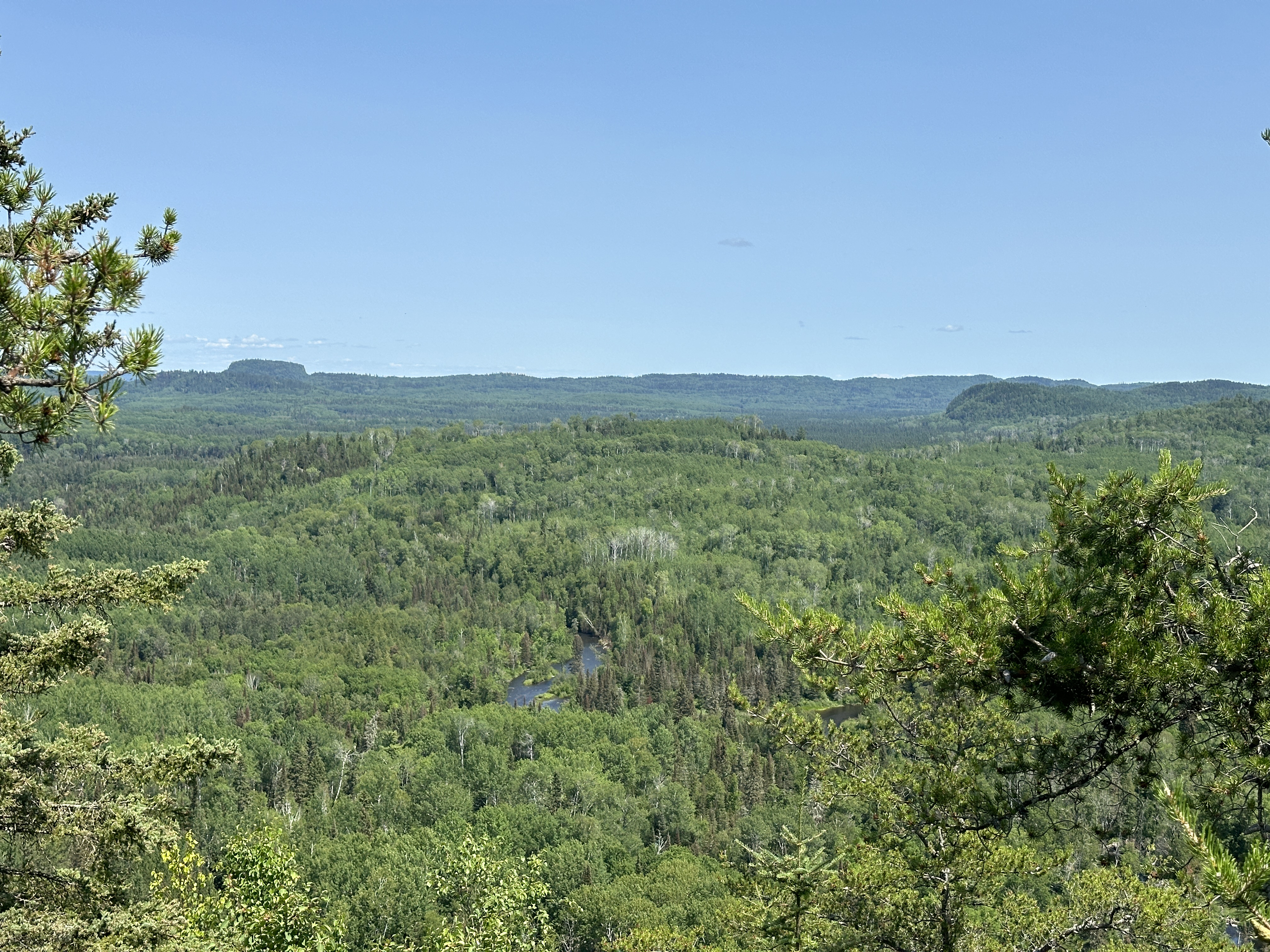
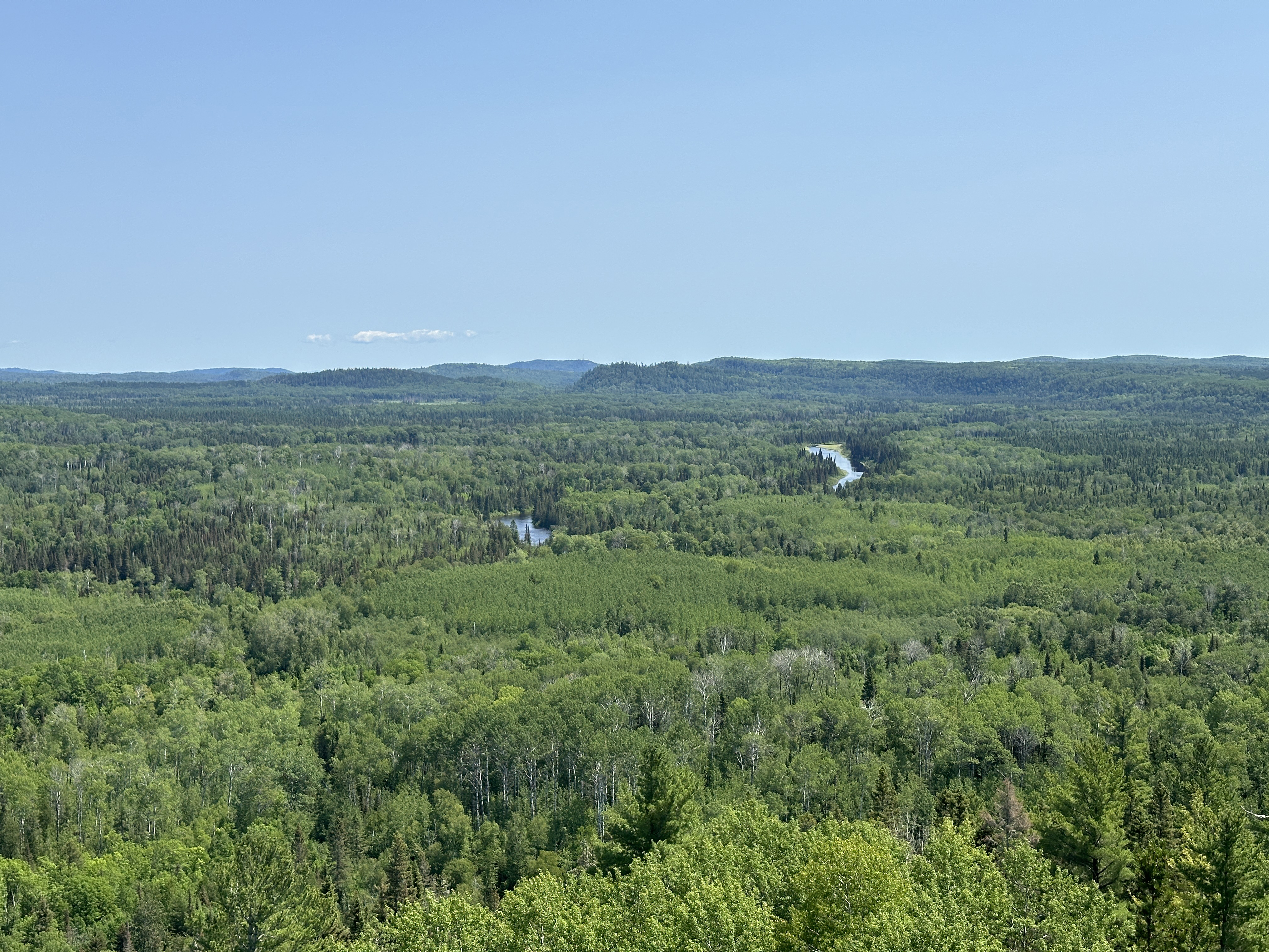
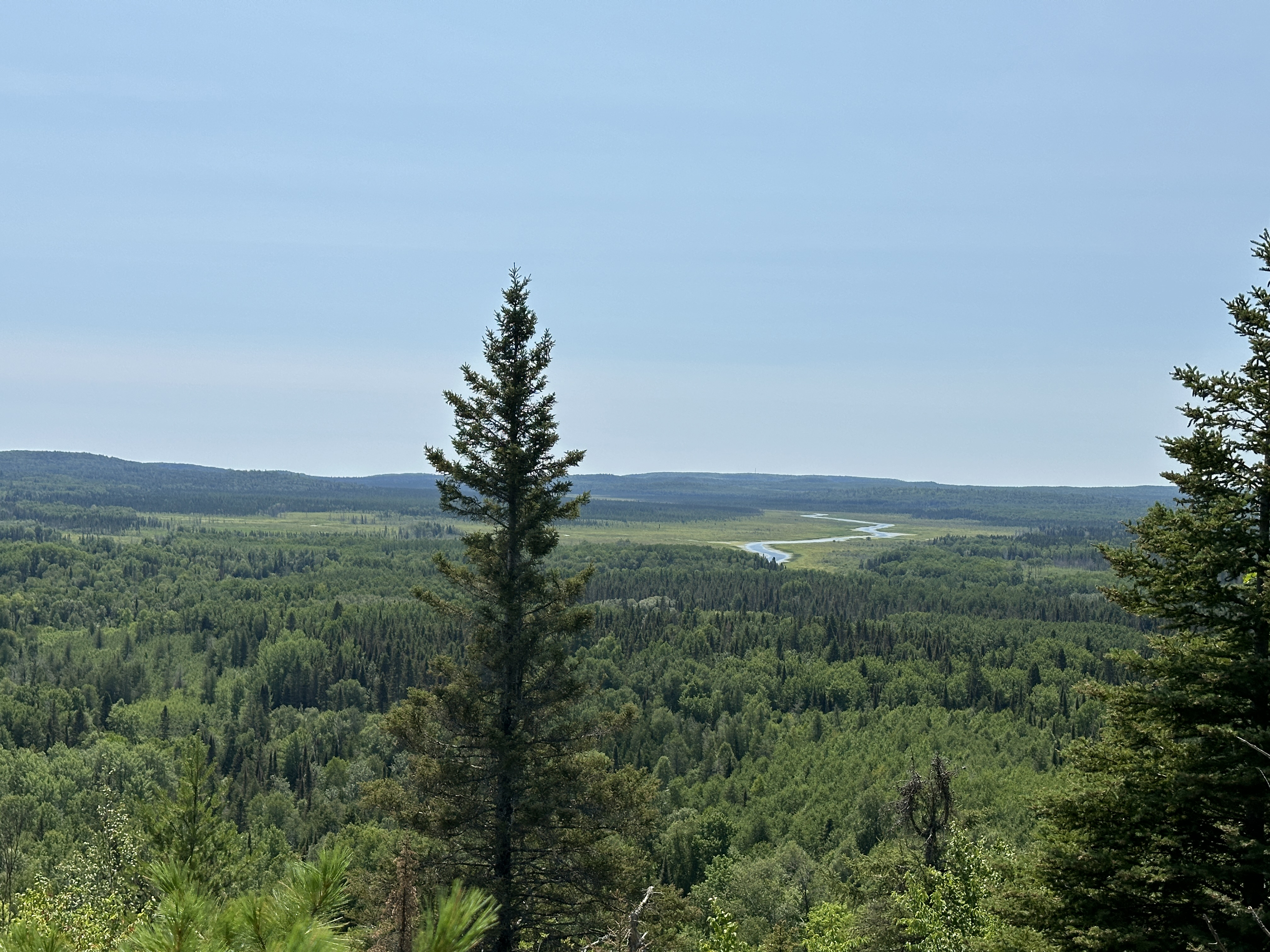
The end of this spur at 270-Degree Overlook is also the end of the Superior Hiking Trail. The overlook provides stellar views of the Pigeon River valley all the way north and west to South Fowl Lake. Views north into Canada and La Verendrye Provincial Park. Looking to the east from the overlook are additional views of the Pigeon River as it winds eastward on its journey to Lake Superior.
Rapids along the Pigeon River near center of view. The squarish bluff to the far left is on the south shore of South Fowl Lake near the Fowl Lake Portage and Fowl Lake Dam. This view is to the northwest.
This view is generally looking north. The bluff near South Fowl Lake is visible far left. Pigeon River visible just right of center.
Slightly zoomed in view towards the north of the Pigeon River.
View towards the east/southeast of Canada and the Pigeon River Valley.
HIKING FROM THE 270 DEGREE OVERLOOK SPUR TRAIL TO THE PORTAGE BROOK BRIDGE
The distance from the 270-Degree Overlook spur trail to the Portage Brook bridge crossing is 3.92-miles. There is a very primitive campsite (Campsite 2241) just before reaching the bridge. The BRT runs right through it. There are several nice overlooks along this section of the trail. The Otter Lake Cutoff is located 0.68-miles before you reach Portage Brook. This is a 0.9-mile spur trail that leads to Otter Lake and Otter Lake Road. There is a primitive campsite located on the east end of Otter Lake (even has a latrine). This is Campsite 2239.
This large cedar tree with the white blaze marks the start of the spur trail to Campsite 2239 located on Otter Lake. This spur is known as the Otter Lake Cutoff. This location is at GPS coordinates: 47.99971,-89.99028. It is 0.68-miles before reaching the Portage Brook Bridge (if headed westbound).
This is the bridge over Portage Brook. Beware of missing boards.
View of Portage Brook looking upstream.
Downstream view of Portage Brook.
HIKING FROM THE PORTAGE BROOK BRIDGE TO THE STUMP RIVER BRIDGE
The Stump River bridge is 1.51-miles west of the Portage Brook bridge.
The bridge over the Stump River.
Looking upstream from the Stump River bridge crossing.
Downriver view of the Stump River.
HIKING FROM BWCA CAMPSITE 723 ON GOGEBIC LAKE TO WHERE TRAIL LEAVES GOGEBIC LAKE
Brief hike along the north shore of Gogebic Lake. The eastern end of this segment starts at the portage between West Pike Lake and Gogebic Lake. That portage follows the same path as the BRT for a short distance.
A view of the west end of Gogebic Lake near BWCA Campsite 723.
HIKING FROM GOGEBIC LAKE TO CLEARWATER LAKE
As you leave Gogebic Lake, you'll initially be following the portage trail that connects West Pike Lake and Gogebic Lake. Soon after the trails separate, you will find the BRT sharing another portage trail between Clearwater Lake and West Pike Lake. The BRT follows this trail the rest of the way to Clearwater Lake.
HIKING FROM THE DANIELS LAKE CUTOFF TO ROVE LAKE
This part of the hike starts at the Rove Lake portage landing and follows the 660 rod portage between Rose Lake and Rove Lake (this portage is known as the Long Portage for obvious reasons). Following the BRT westbound for 0.75-miles, you come to the intersection of the BRT and the Daniels Lake Trail. The north end of the Daniels Lake Trail between Daniels Lake and the Long Portage is known as the Daniels Lake Cutoff.
HIKING FROM THE CRAB LAKE TRAIL CUTOFF TO THE BRIDAL FALLS SPUR TRAIL
Signage marking the junction of the Border Route Trail and the Crab Lake Cutoff Trail.
There is a large beaver pond just west of the Crab Lake Trail Cut-Off. A half-mile or so further down the trail is a fine overlook of Gunflint Lake. Continuing along the BRT, the trail arrives at a creek crossing. This is the creek that flows over Bridal Falls down to Gunflint Lake. The creek is divided into two main channels when the water is high. There is a bridge crossing here, but if the creek is running very high from spring melt or heavy rains, you still must do a wet crossing of the first channel. There are some old metal artifacts here (i.e. bucket, some rail sections). In the early 1900's, the Gunflint and Lake Superior Railroad came right through here. The railway went up the east side of the creek. In this video, was unable to locate the the trail leading to the bridge once across the east channel. After looking around for a safe place to cross, ended up fording both channels of the creek and having to search around a bit to locate the BRT on the other side of the stream. The missing trail actually runs between the two channels of the creek. So cross the first channel, find the trail and take it to the right until you reach the bridge over the west channel. Shortly after crossing the bridge you will come to a sign along the BRT saying 'Bridal Falls'. This marks the spur trail down to the base of the waterfall.
Overlook of a beaver pond near the junction of the BRT and the Crab Lake Cut-Off Trail.
Overlook of Gunflint Lake.
Spur trail to Bridal Falls. The trail is marked by a sign saying 'Bridal Falls'. From the intersection with the BRT, this spur trail is somewhat steeply downhill. It's a short walk of less than 5 minutes to the base of the falls. This is a view of Bridal Falls during the spring runoff.
HIKING FROM MAGNETIC ROCK TO THE BORDER ROUTE TRAIL WEST TRAILHEAD
Traveling westbound along the combined Magnetic Rock/Border Route Trail. This section takes you from Magnetic Rock to the Border Route Trail West Trailhead (which is also the trailhead for the Magnetic Rock Trail).
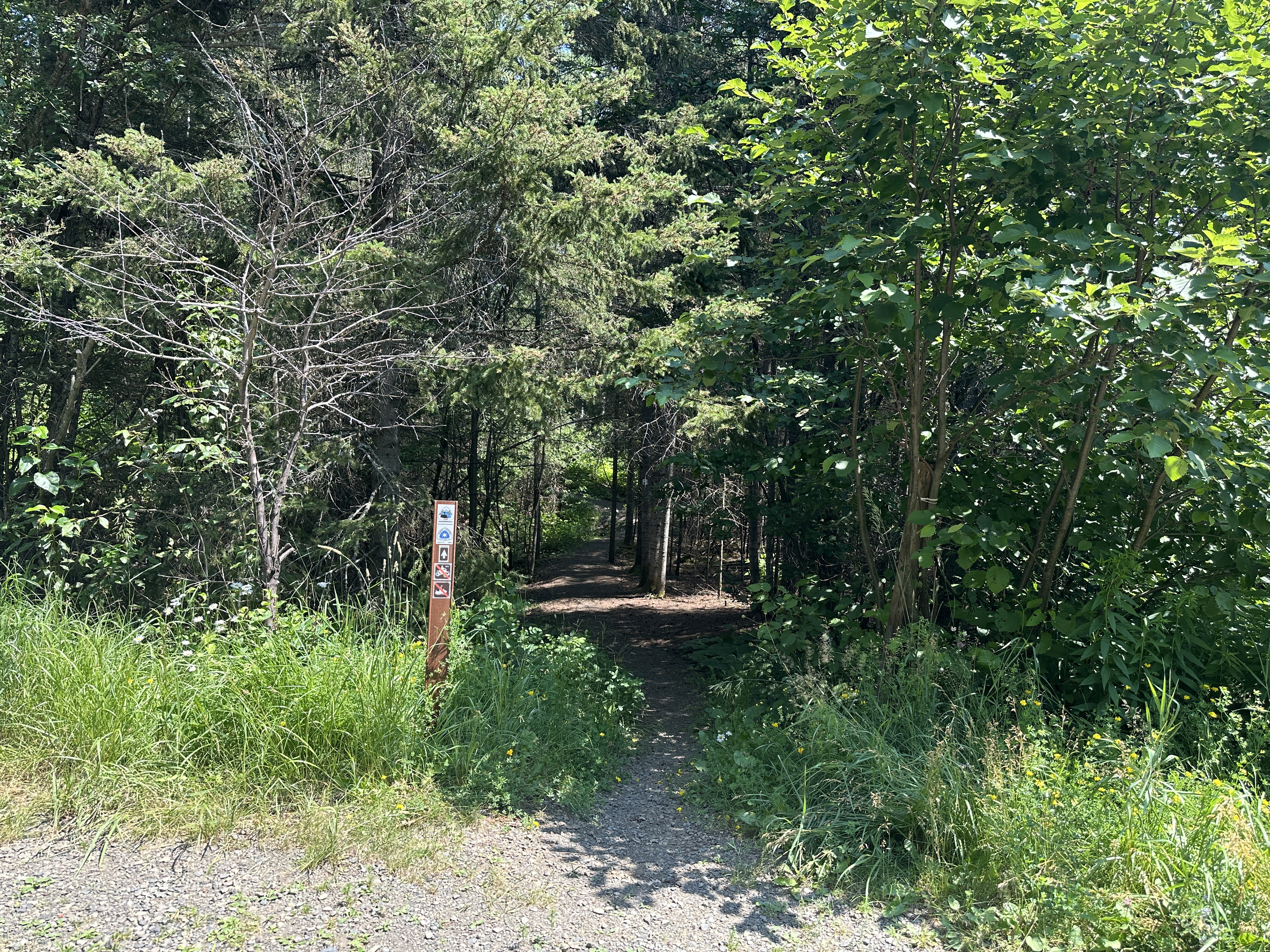
The Border Route Trail's western trailhead.
If you plan to extend your hike along the Kekekabic Trail, here is the section along the Gunflint Trail (County Road 12) between the Border Route Trail West Trailhead and the Kekekabic Trails Eastern Trailhead (this is BWCA Entry Point 56 - Kekekabic Trail (East)). (Note: This short segment of trail has now been rerouted away from the highway and back into the woods. Will try to get video of this newly developed section in the near future.)