Gunflint Fire Lookout Tower
Last Visited: October 27, 2022
Click on the photos below to see the full resolution image - Use your browsers back button to close photo and return to this page.
The Gunflint Lookout Tower was built in the late 1930's to provide an observational platform to spot wildfires. The trail leading to it was created by the Civilian Conservation Corp in 1937 as part of the larger project to build the Kekekabic Trail. The tower stopped operating around 1960. At that time airplanes started to be used for spotting fires in the wilderness. There were two other fire towers located along the Kekekabic Trail. The Fernberg Fire Tower was at the western end of the trail near Lake One and Snowbank Lake. The Kekekabic Fire Tower was situated near Kekekabic Lake for which the tower is named. The Gunflint Lookout Tower was the eastern most tower along the Kek. The Kekekabic Trail was constructed beginning in 1937 and completed in 1938 specifically for providing access to these fire towers.
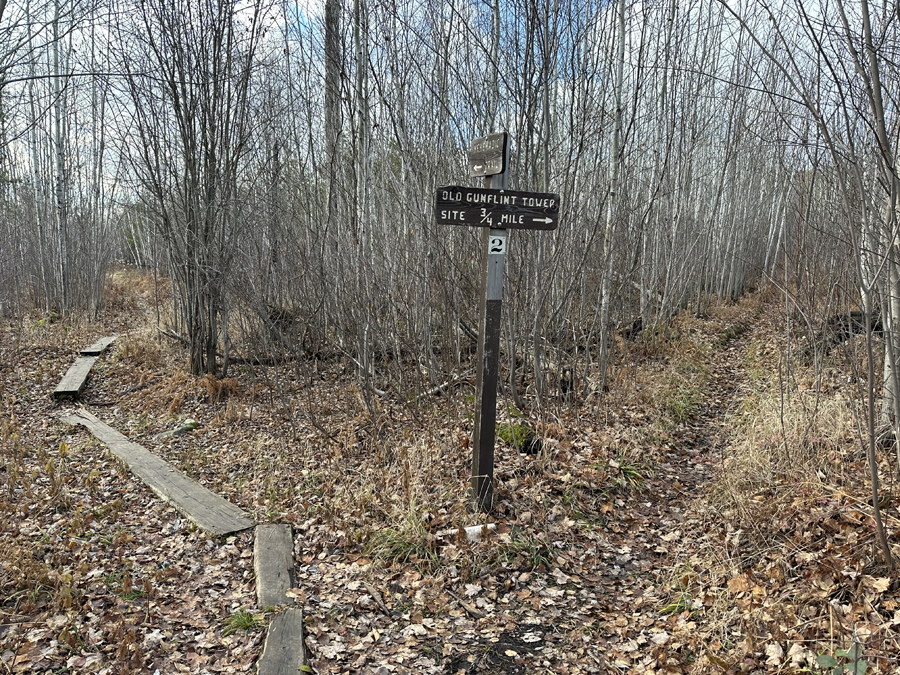
Sign marking the spur trail to the Gunflint Lookout Tower along the combined Kekekabic Trail/Centennial Trail. This intersection is about a 0.5-mile hike from the trailhead (BWCA Entry Point #56) parking lot. As the sign says, the hike to the tower is about 0.75-miles. Most of the hike is mildly, but steadily uphill.
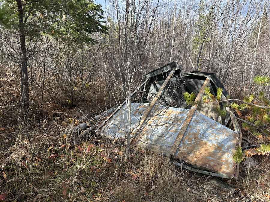
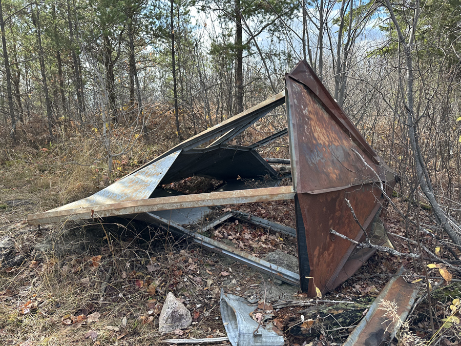
Ruins of the cab or cuppola of the old tower.
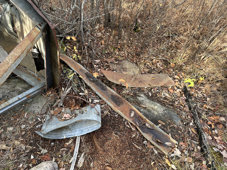
Corner of the tower and and old metal bucket.
Another view of the top of the tower.
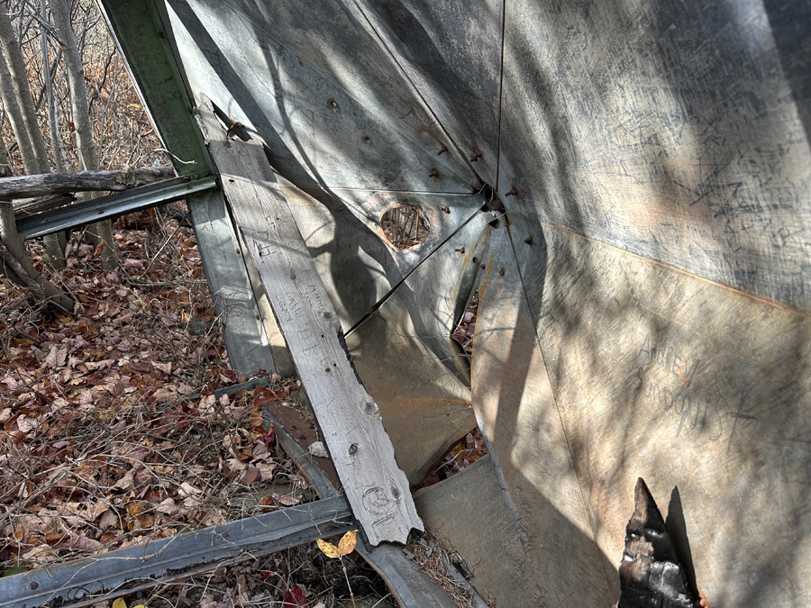
A look at the inside.
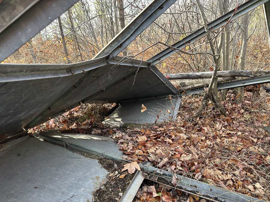
Another view of the inside.

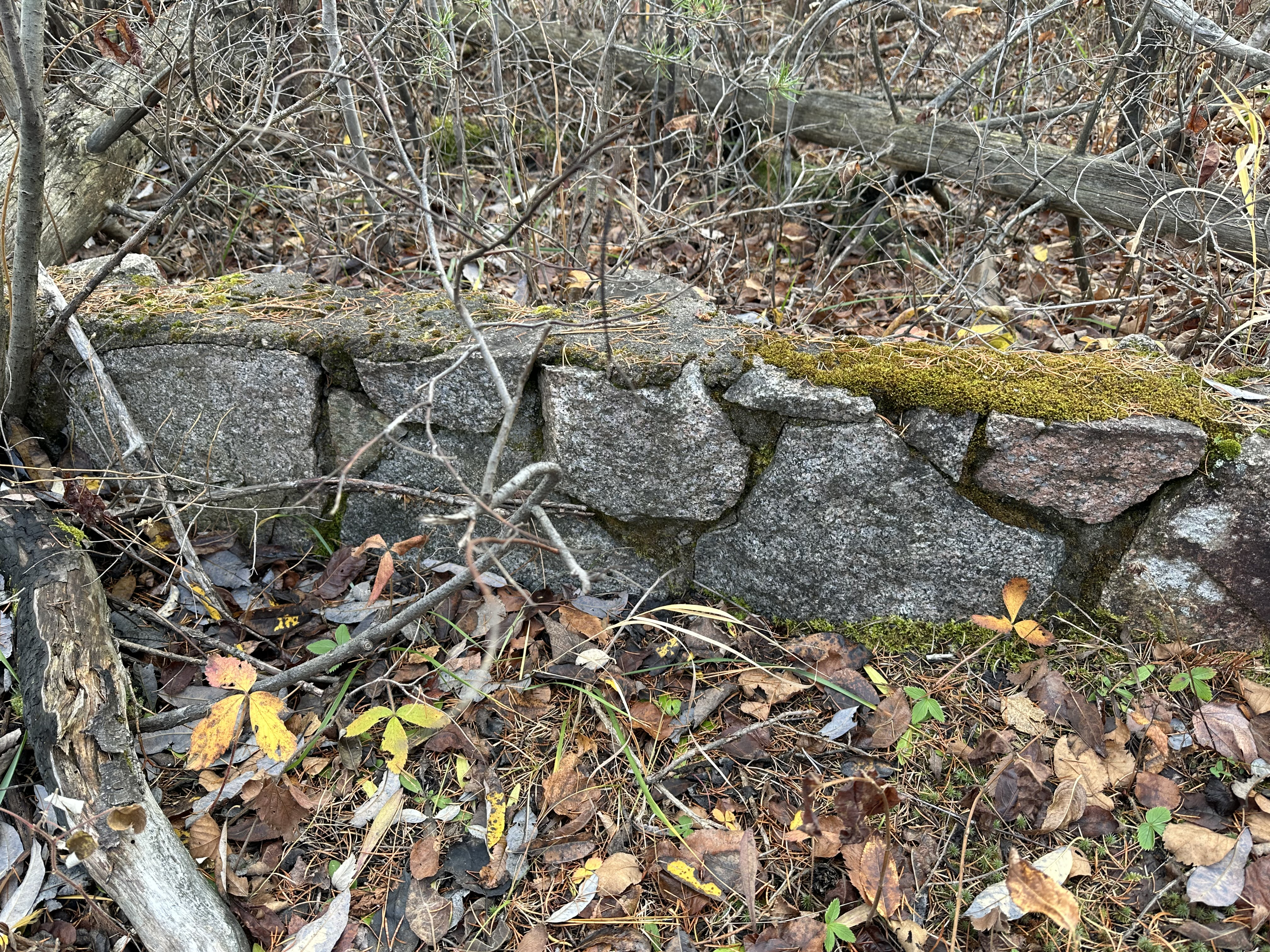
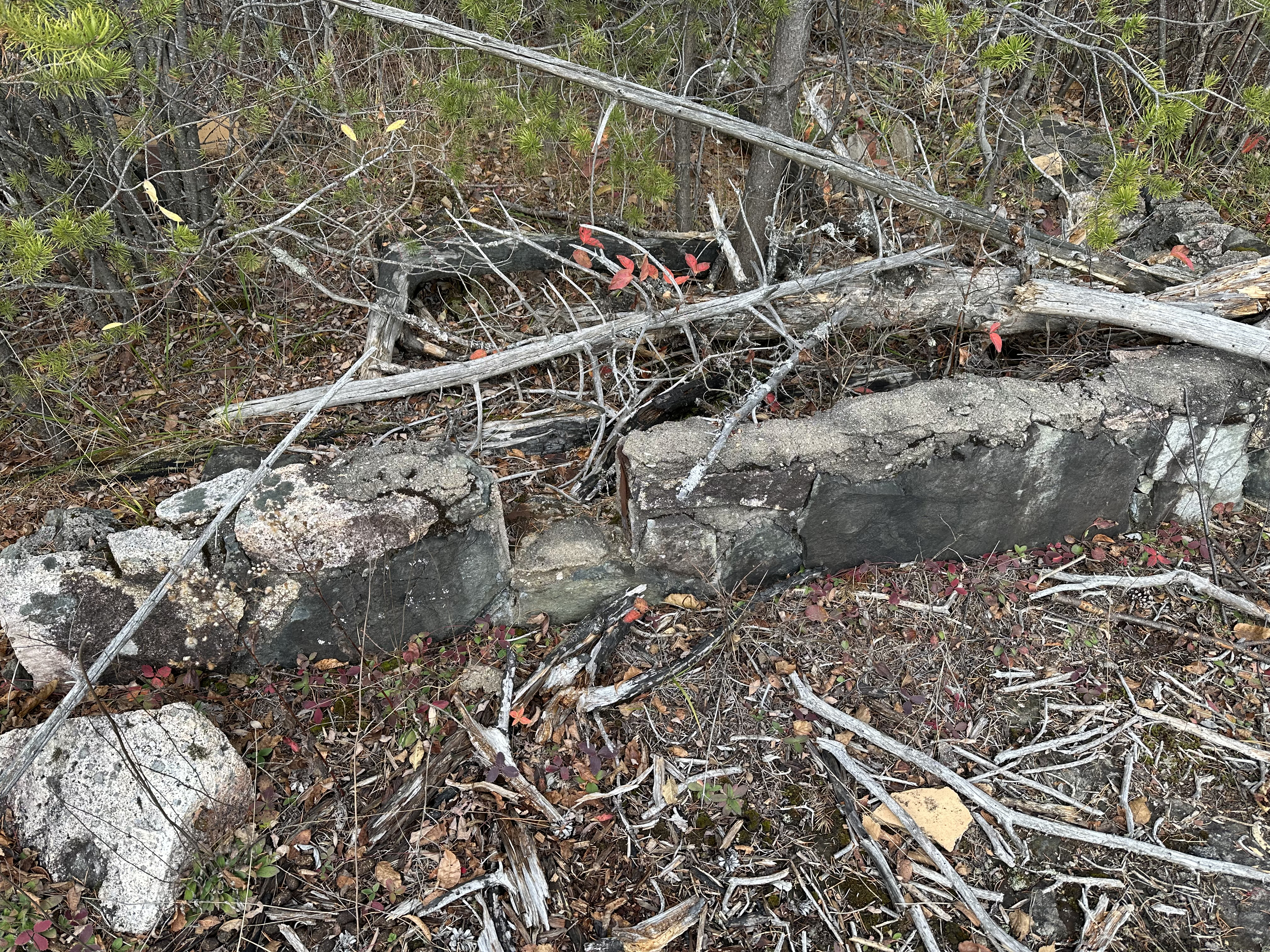
Part of the foundation on which the rangers cabin stood.
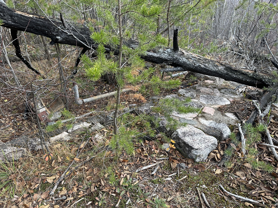
Another view of the foundation and some piping..
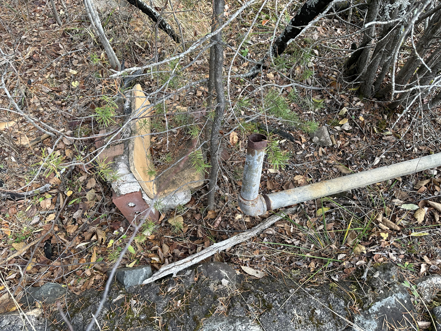
Maybe some kind of a connection point just left of the pipe. Bricks embedded in concrete with some kind of table or counter on the right side of it.

Photo of the rangers cabin foundation wall.
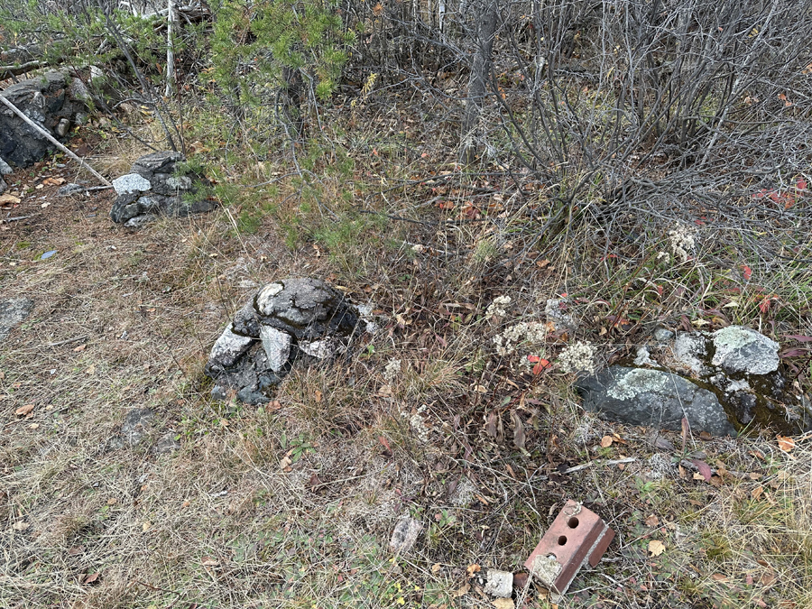
These cemented rock piles perhaps locations of footings?.
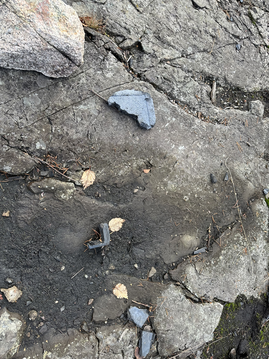
Metal nail and a metal in the shape of a right angle.
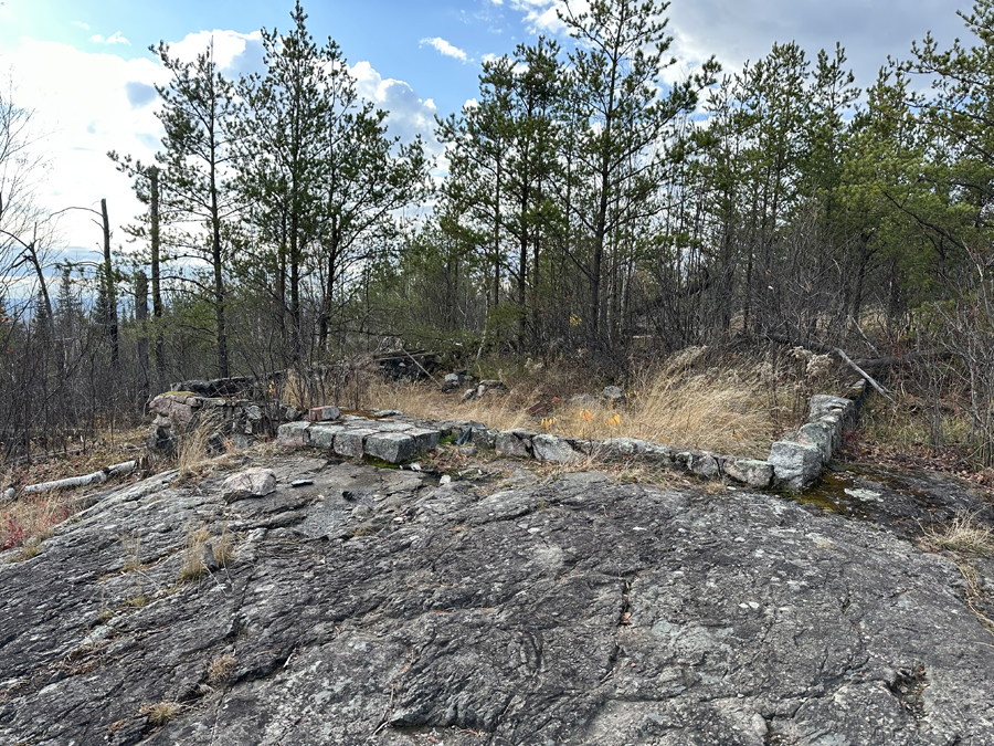
View showing the entire cabin foundation structure.
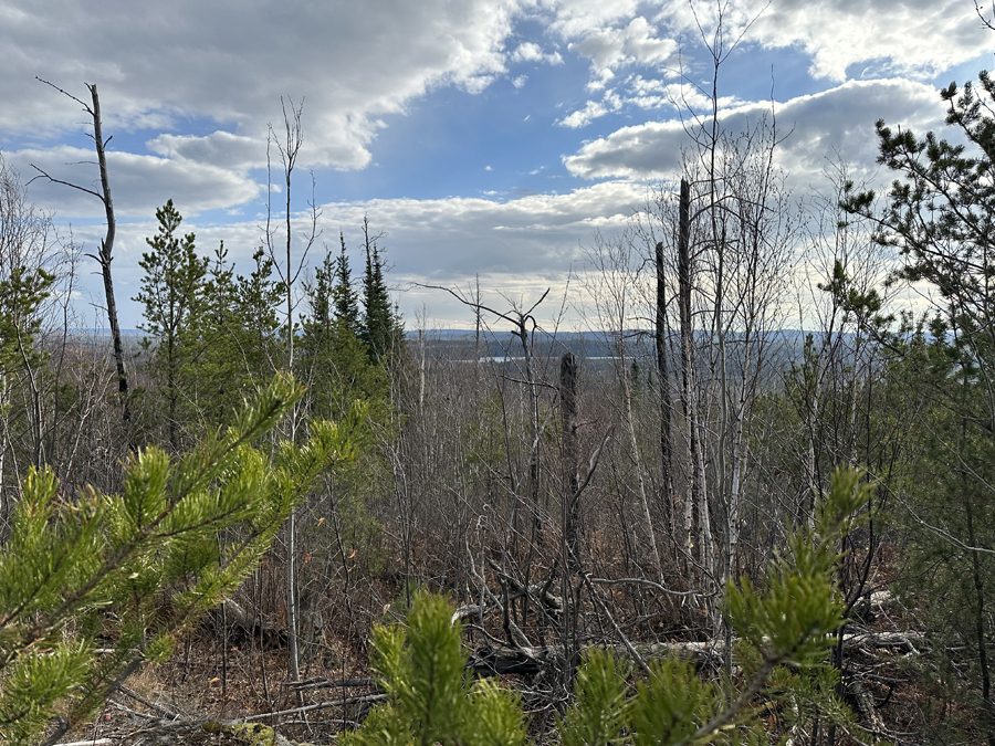
View from the location of the Gunflint Lookout Tower. Round Lake is visible to the south. It's about 1.3-miles away.
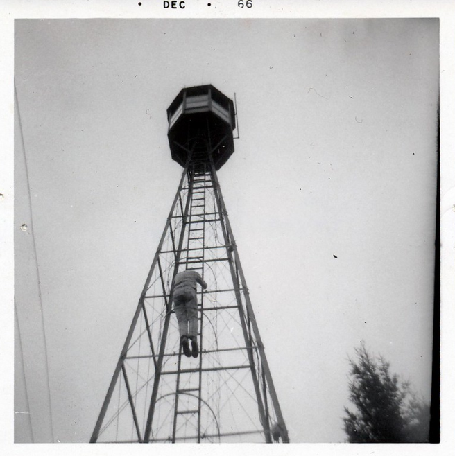
Photo of the Gunflint Lookout Tower. Probably taken December 1966.
Return to hiking the: KEKEKABIC TRAIL -or- CENTENNIAL TRAIL
Back to List of BWCA Places
|