Trailhead: BWCA Entry Point 74 located on Snowbank Lake Road
Snowbank Lake Trail
Kawishiwi Ranger District
CAMPSITES ALONG THE SNOWBANK LAKE TRAIL: Campsite 1 (#2251) - Primitive campsite at the Snowbank Lake end of the Flash Lake portage
Campsite 2 (#2252) - Located about 0.5-miles north of the Flash Lake portage
Campsite 3 (#2253) - Second campsite west of Grub Lake
Campsite 4 (#1259) - First campsite west of Grub Lake
Campsite 5 (#2254) - Located on the north shoreline of Grub Lake
Campsite 6 (#2255) - Second campsite north of the Boot Lake portage
Campsite 7 (#2256) - First campsite north of the Boot Lake portage
Campsite 8 (#2084) - Situated on the west side of Disappointment Lake
Campsite 9 (#2236) - Located on the east side of Parent Lake
This entry point is also used by the Kekekabic Trail (west). The parking lot has the trailheads for both the Snowbank Lake Trail and the west end of the Kekekabic Trail. The Snowbank Lake Trail heads to the north out of the parking lot. The combined Snowbank Lake Trail/Kekekabic Trail heads east and cuts across the road you drove in on as soon as it leaves the parking lot. Most of the trail is within the Boundary Waters Canoe Area Wilderness. A BWCA permit is required to hike any part of the trail within the wilderness boundary.
The trail circumnavigates the lake it was named after. There are many fine overlooks of Snowbank Lake and some other smaller lakes in the area. The Snowbank Lake Trail is approximately a 22-mile loop. It is possible to hike the entire Snowbank Lake Trail loop in a single day if you're fit and get an early start, but most hikers will take two to three days to make the circuit. BWCA hiking trails have very little signage. There are a few sections of the trail that are more difficult to follow. Look out for markings that indicate you are on the correct path. Most markers consist of rock cairns and occasionally bits of blue tape. The other thing to look for to ensure you stay on the trail are cut logs. This trail is fairly rugged with a lot of elevation changes, a trail surface that is very rocky in places, some muddy spots, and a number of creeks and beaver dams to cross.
The July 4, 1999 windstorm (and to a lesser extent the 2016 windstorm) caused significant tree blowdown along this trail, knocking down a lot of the areas old red and white pines. Evidence of these storms is still visible today (2025).
Hiking the Snowbank Lake Trail (Clockwise Direction)
Click on the photos below to see the full resolution image - Use your browsers back button to close photo and return to this page.
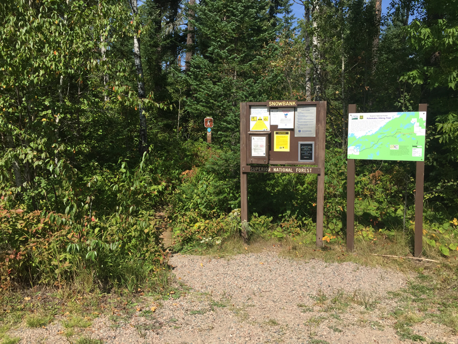
The Snowbank Lake Trail starts just to the left of these two bulletin boards. The Kekekabic Trail begins across the Snowbank Lake Road from the parking lot where you are standing (September 4, 2016).
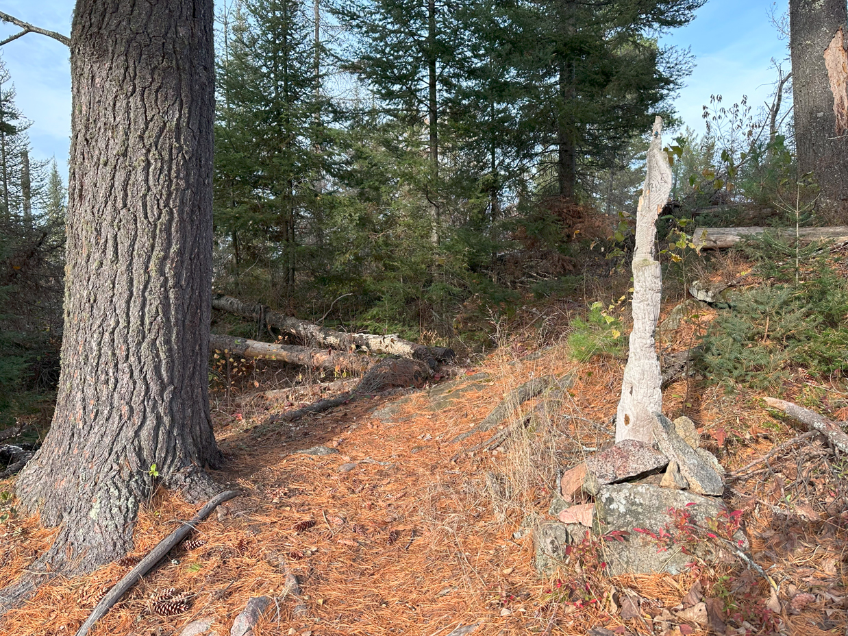
Hiking from the BWCA Entry Point 74 Trailhead to the intersection of the Snowbank Lake Trail and the portage between Flash Lake and Snowbank Lake. This portage intersection is about 1.25-miles from the trailhead parking lot. There is a very primitive campsite on the Snowbank Lake end of this portage. This is BWCA Campsite 2251 (May 1, 2024).
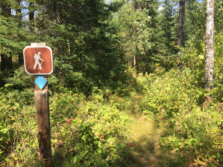
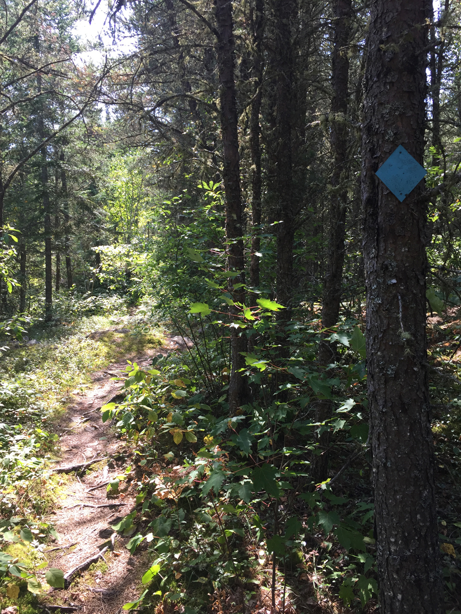
Very beginning of the trail. These blue blazes (blue triangle) are used along the first couple miles of the trail to help guide the way. They become less frequent as you get further away from the entry point. Once in the BWCA, there are no markers like this, just rock cairns, occasionally some blue tape hanging from a tree and cut logs to guide the way (September 4, 2016).
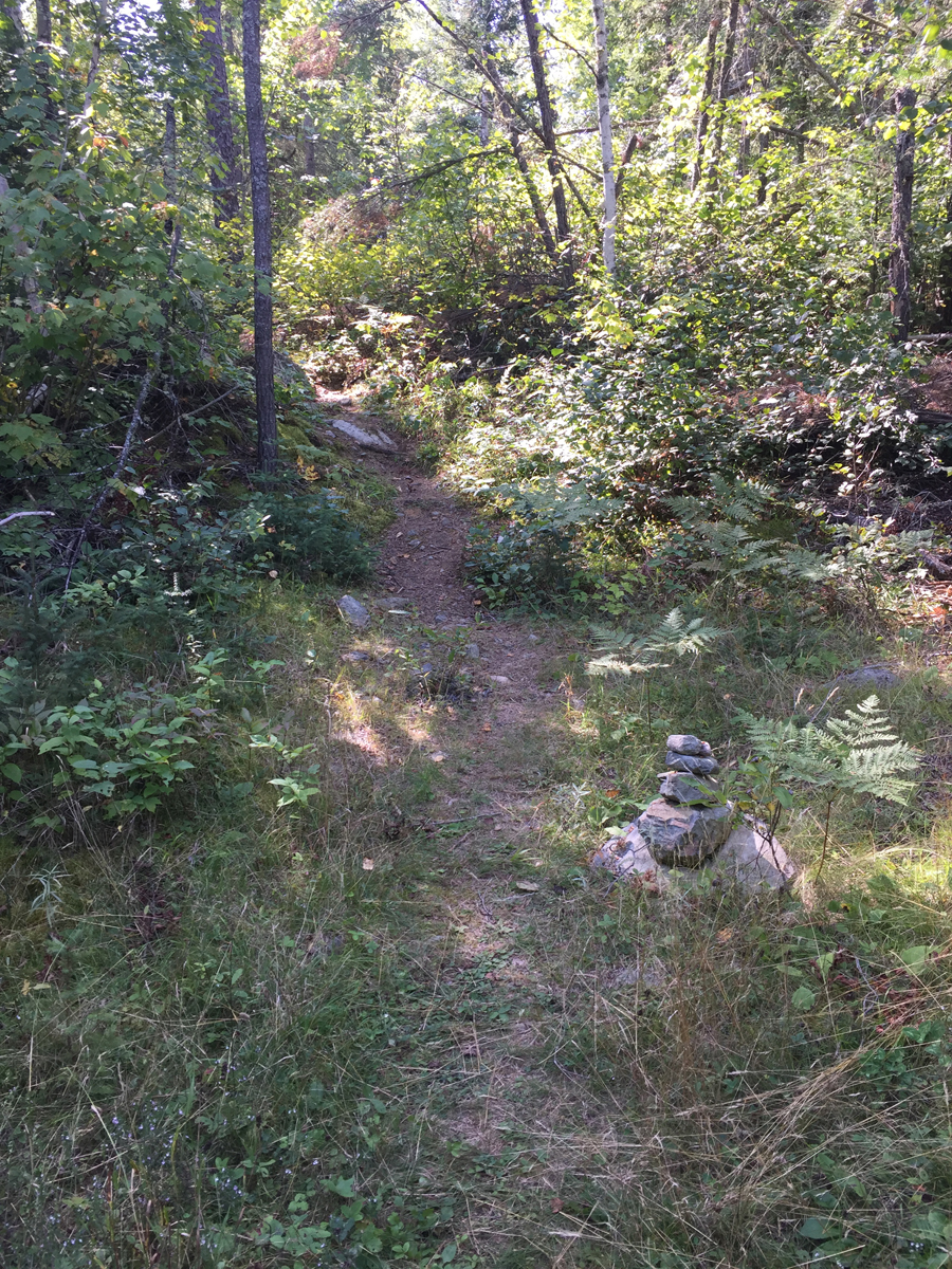
Typical cairn along the route to help you find the way. This is just down the trail from the entry point parking lot (September 4, 2016).
Blue blaze along the trail not far from the entry point. These blue blazes get farther and farther apart as you get more distant from the entry point (September 4, 2016).
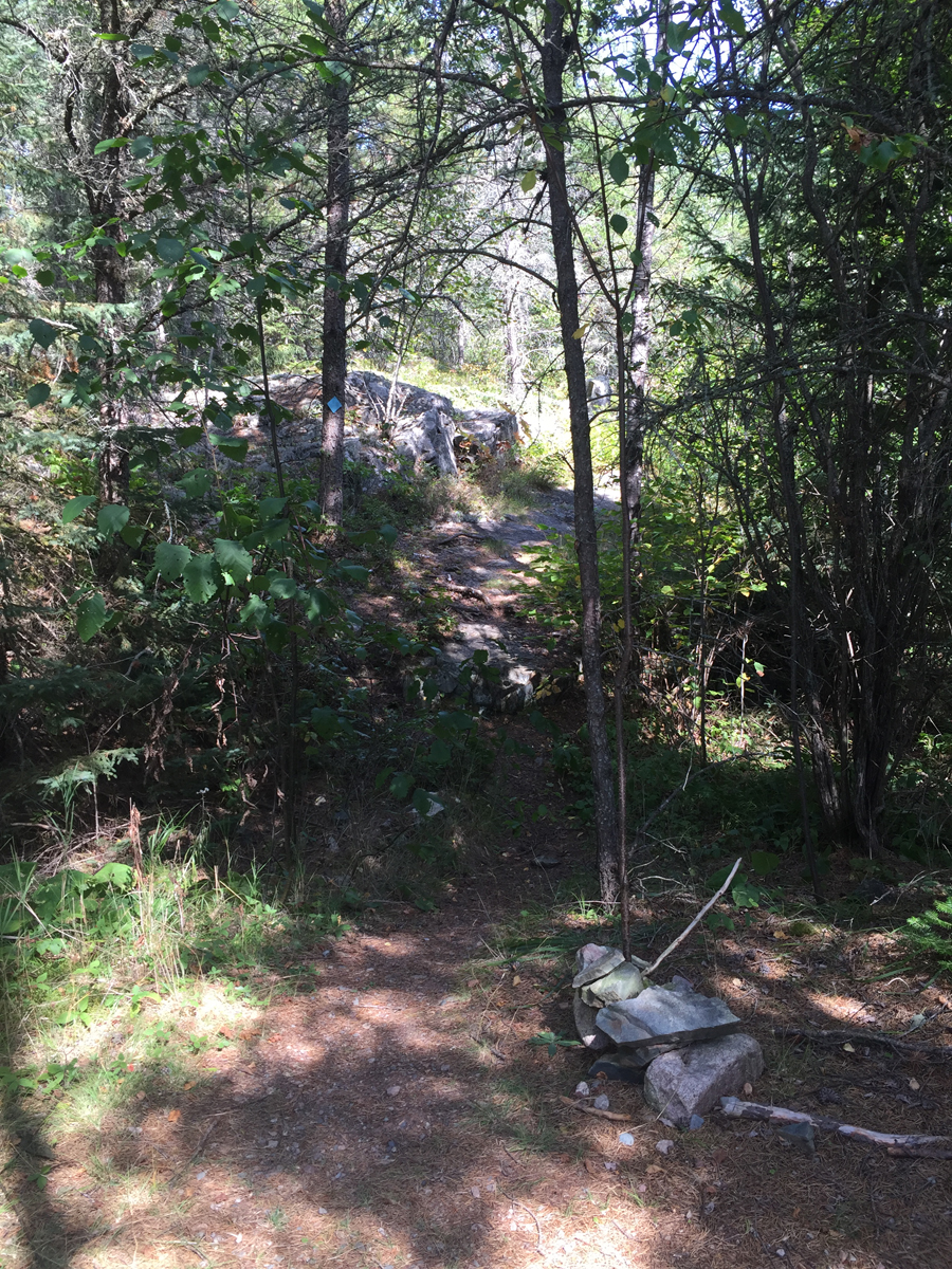
The old logging road. Notice cairn just left of center marking where the Snowbank Lake Trail enters/exits this section (September 4, 2016).
This rock cairn marks where you turn off the old logging road and get back on the normally graded Snowbank Lake Trail (September 4, 2016).
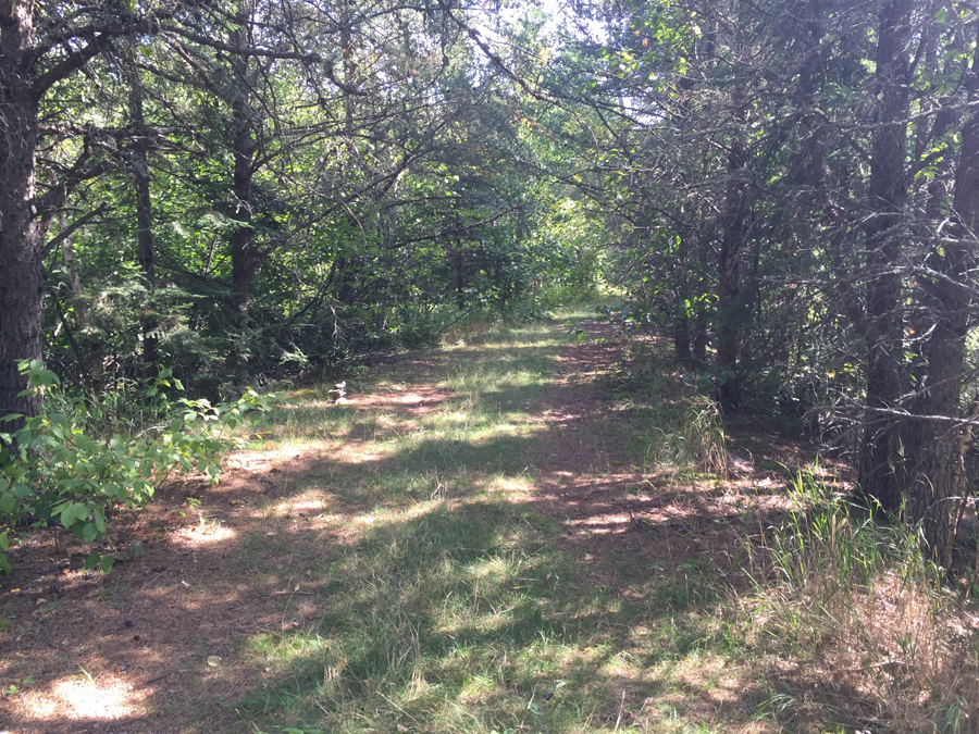
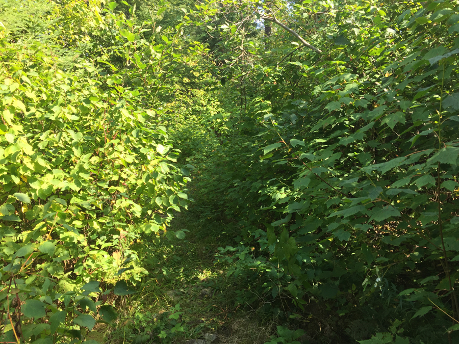
Trail passing through denser foliage near westernmost tip of Snowbank Lake (September 4, 2016).
View of the westernmost tip of Snowbank Lake from the Snowbank Lake Trail (September 4, 2016).
Continuing this loop hike in a clockwise direction. Starting from the Flash Lake/Snowbank Lake portage intersection, we hike to the first large beaver dam encountered. The beaver dam is about 2.3-miles from the trailhead. This location is just east of Griddle Lake. There is also another campsite along this section. This is BWCA Campsite 2252 (May 1, 2024).
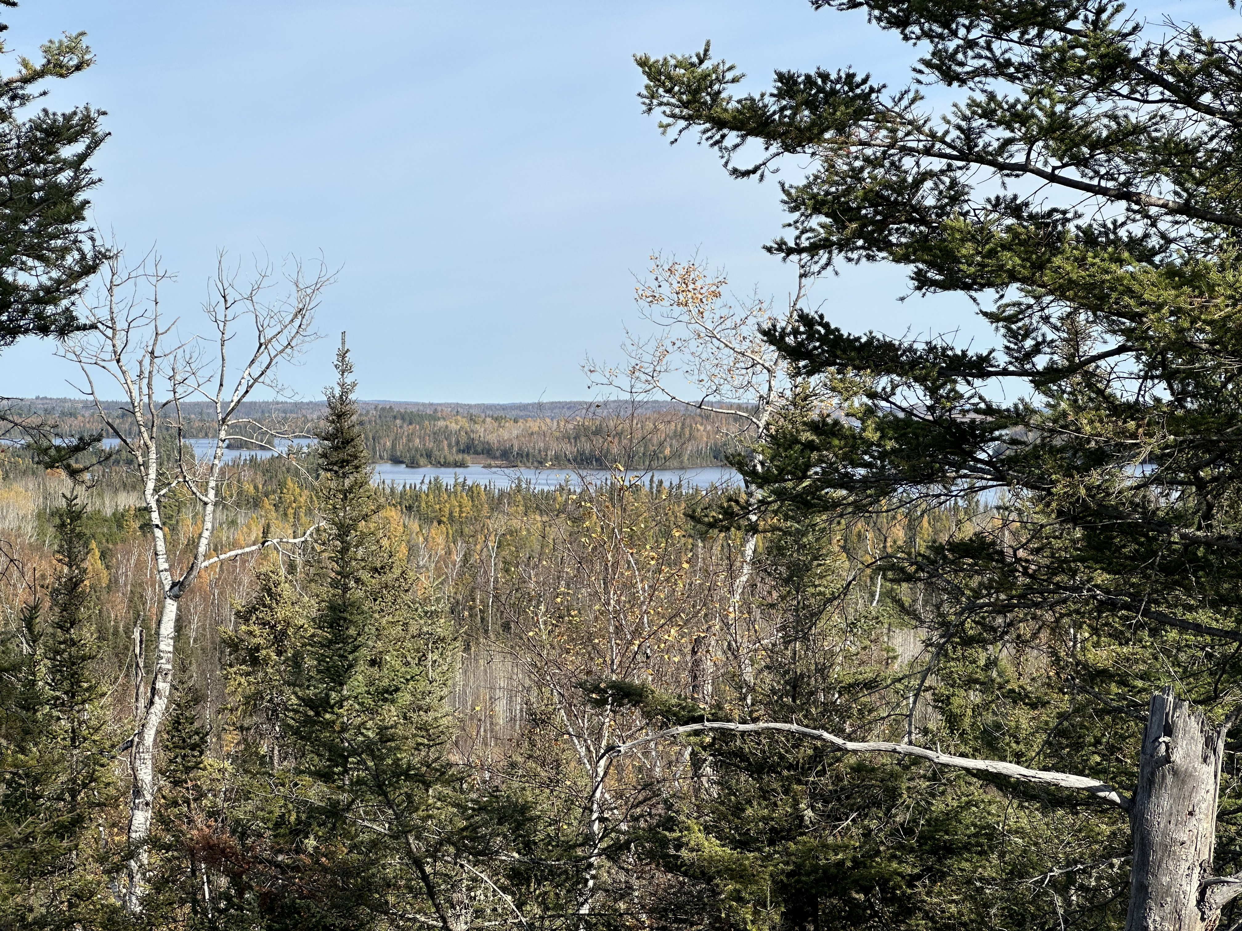
Hiking from the Beaver Dam to an overlook, a short distance of about 0.3-miles. The overlook provides a great view of Center Island out in Snowbank Lake (May 1, 2024).
Hike from the Center Island overlook to the general area of the Boundary Waters Canoe Area official boundary line. This is only about 0.4-miles. Usually there is a sign to mark the boundary, but it seems to have gone missing (May 1, 2024).
Continuing further along the trail, here are the key landmarks (video for these sections coming soon):
1) For the next couple of miles the trail gives glimpses of Snowbank Lake. The next noteable landmark is where the Snowbank Lake Trail goes around the north side of Wooden Leg Lake.
2) Another 0.5-miles further on past Wooden Lake, the trail comes back to Snowbank Lake just north of Half Burnt Island. There are a couple of campsites along Snowbank Lake in this area.
3) From Bass Bay, the trail goes around Grub Lake to the north. Another campsite is located on Grub Lake.
4) Past Grub Lake the trail makes a sharp turn south and heads for about 1-mile in that direction back to the shore of Snowbank Lake. You are now near North Bay on Snowbank Lake.
5) From North Bay, continue southeast for about 0.75-miles until you reach the Boot Lake portage. There are two campsites near the portage. You can walk the portage for about 80 rods over to Boot Lake. The trail goes over a small stream on a foot bridge. This stream drains Snowbank Lake into Boot Lake.
6) Just south of the Boot Lake portage, perhaps another 0.25-miles further on, the Snowbank Lake Trail intersects with the Old Pines Trail. At this point, down by the Snowbank Lake shoreline, is another campsite mostly used by hikers.
7) From the Boot Lake portage it's about 1 mile to Birdsey Lake. The trail passes along the west side of this tiny lake.
8) About 0.5-miles past Birdsey Lake the trail reaches Disappointment Lake. There is a campsite here if canoeists haven't already grabbed it.
9) About 1/2 mile further you come to an intersection where two portages cross the trail. One is the 140 rod Snowbank Lake to Disappointment Lake portage. The other is the 85 rod Disappointment Lake to Parent Lake portage. You want to follow the Parent Lake portage which is shared by the Snowbank Lake Trail for 85 rods. There is a wood post that marks where the Snowbank Lake Trail turns off from the portage.
10) After another mile you reach a three-way junction. This is where the Snowbank Lake Trail joins (if traveling clockwise) with the Kekekabic Trail. This is near the south side of Parent Lake.
Location where the Snowbank Lake Trail and the Kekekabic Trail join/split depending on the direction you are heading (October 23, 2022).
11) In another 0.25-miles you reach another trail junction. This trail (heading left and south) is the Benezie Loop trail.
12) The last stretch of the trail leaves the BWCA in about 0.5-miles and then continues for another 4-miles further to get you back to the trailhead where you started. Here are some photos from this final stretch of the trail.
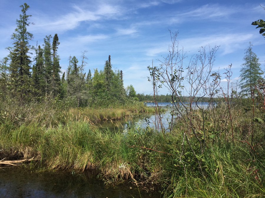
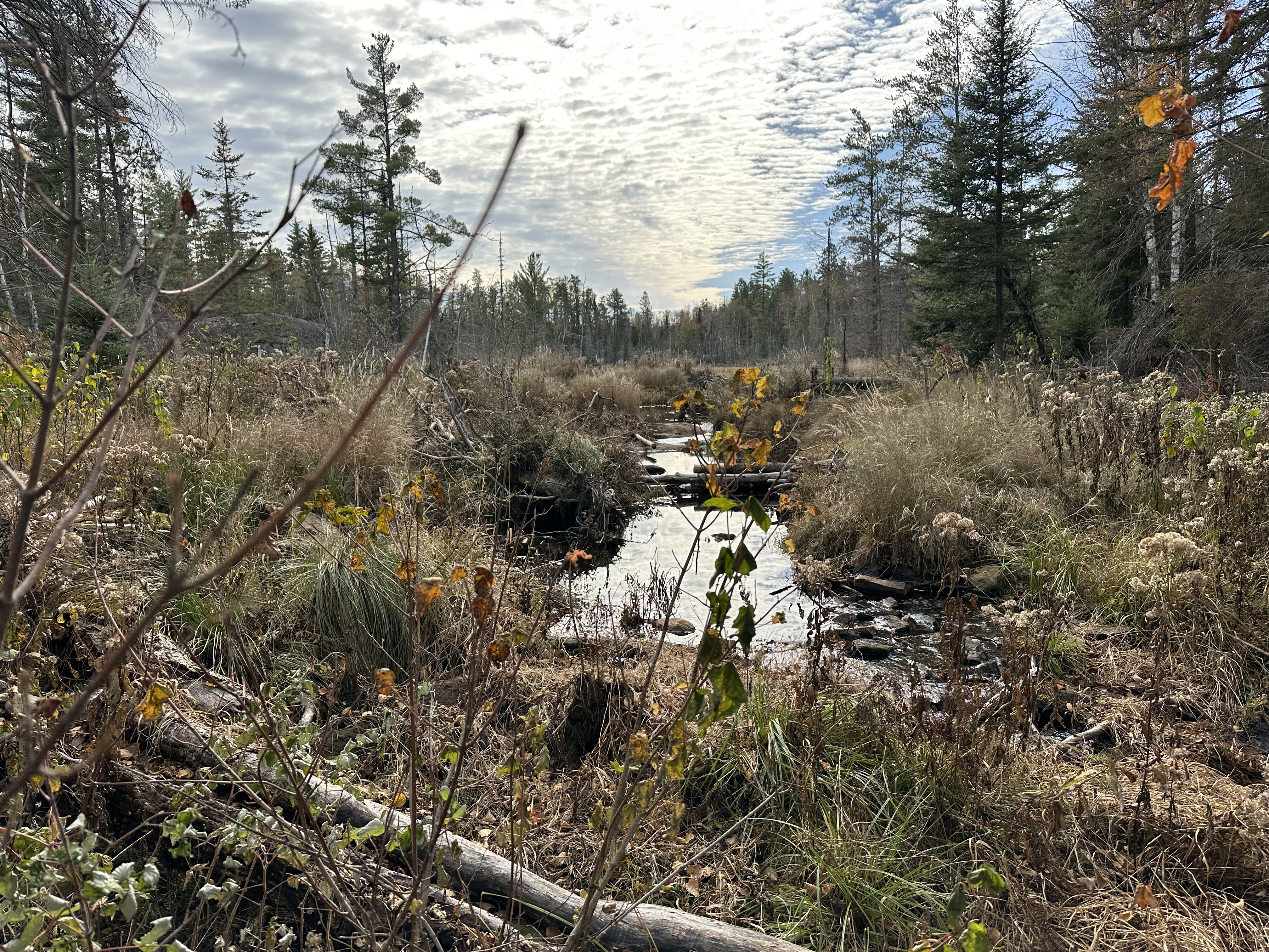
Bog just south of Parent Lake (October 23, 2022).
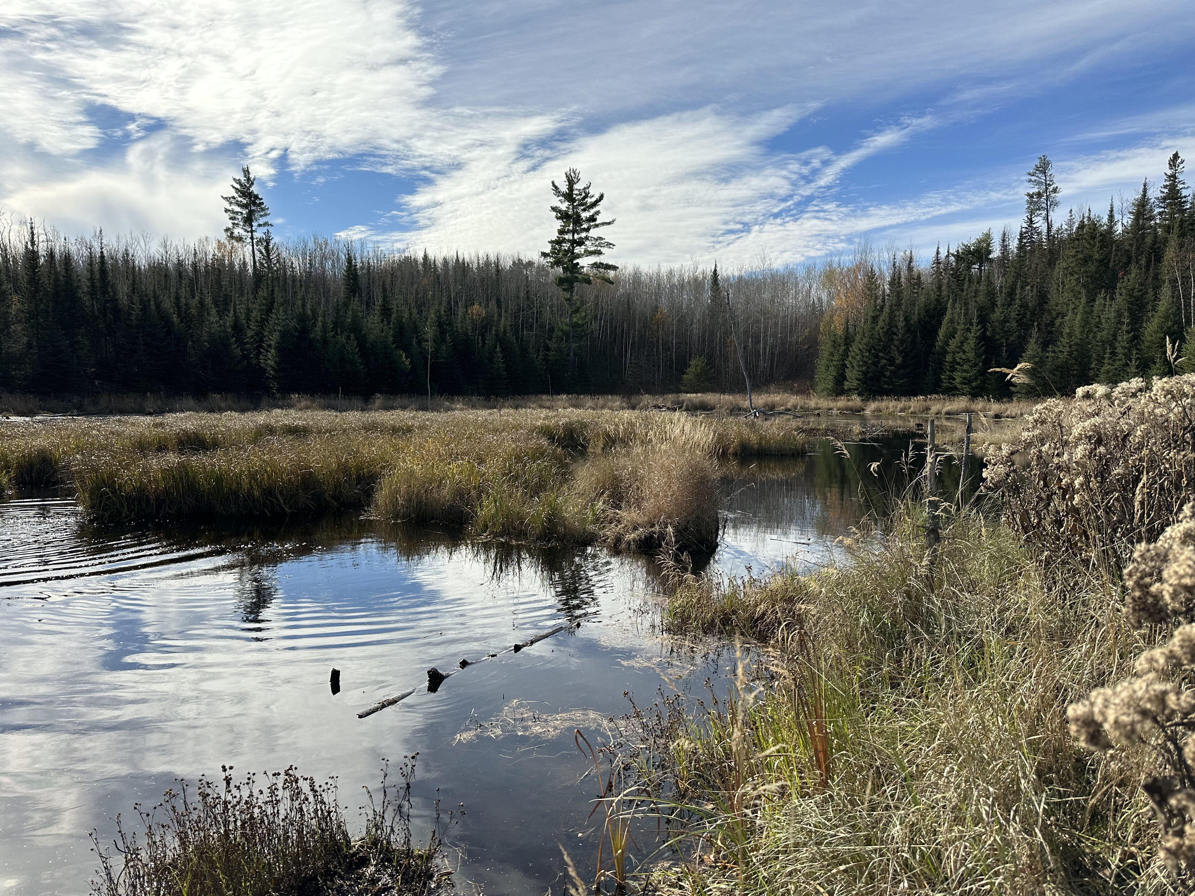
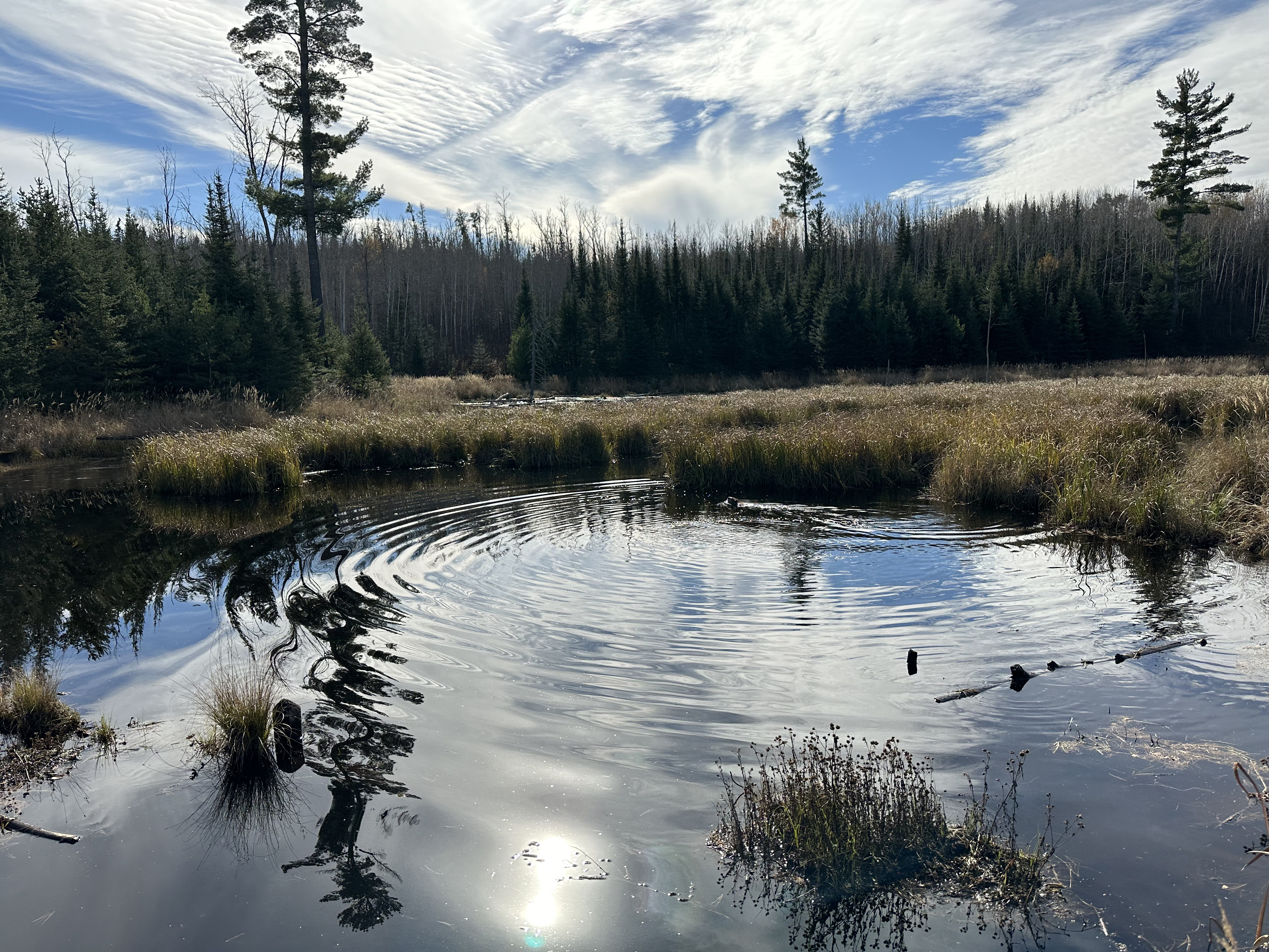
Beaver pond just south of Snowbank Lake's Pickerel Bay (October 23, 2022).
Another look at the Beaver pond (October 23, 2022).
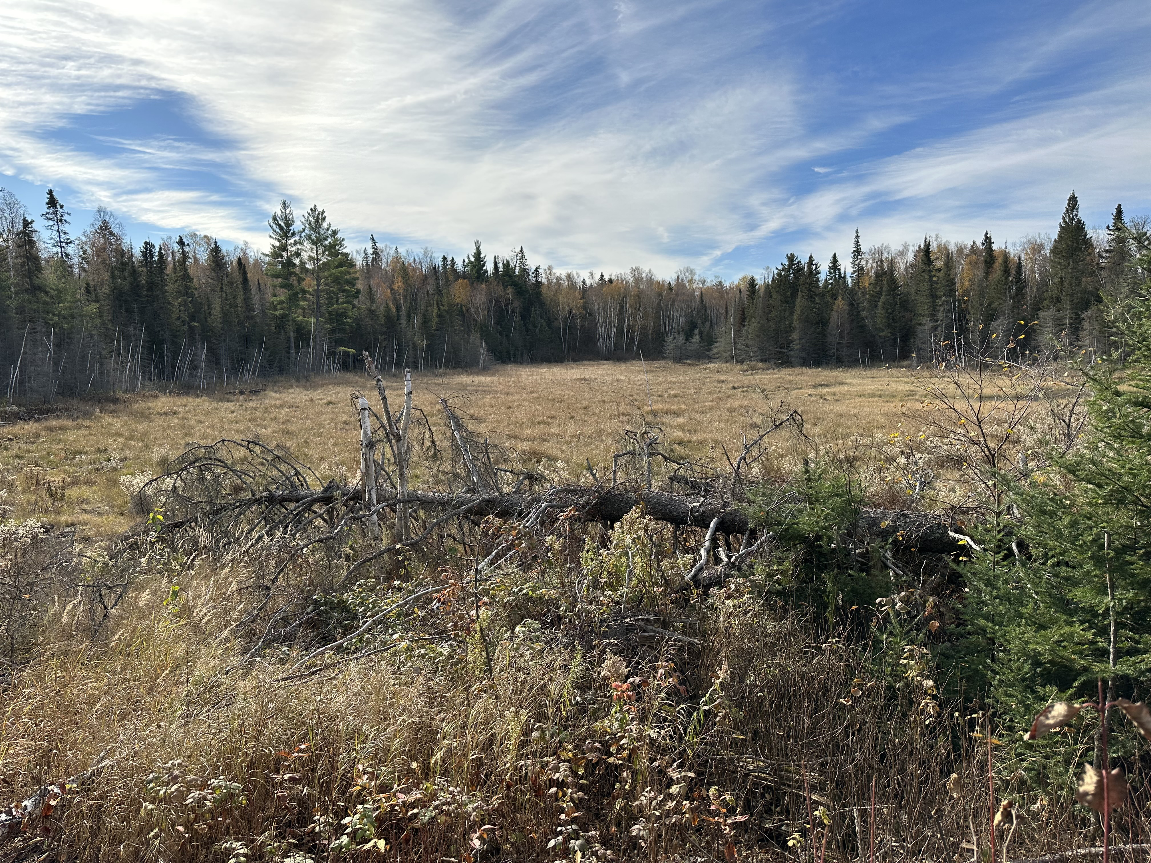
View of Pickerel Bay of Snowbank Lake. This is a zoomed view from about 0.5-miles away. This is a couple of miles east of the parking lot (October 23, 2022).
Another wetland area. This is about 1.5-miles from the parking lot (if heading counterclockwise) (October 23, 2022).