Click on the photos below to see the full resolution image - Use your browsers back button to close photo and return to this page.
This hidden gem is located along the Border Route Trail in northern Minnesota. To visit Bridal Falls, you can either hike or boat to it. From the Gunflint Lake public water access, it's 5.5-miles by water to the Bridal Falls Trail trailhead. From the shore of Gunflint Lake, follow the Bridal Falls Trail 0.5-miles to the base of the waterfall. The other way to get to Bridal Falls is by hiking. This requires following the Crab Lake Trail for about 2.4-miles until it connects to the Border Route Trail. Then follow the Border Route Trail west for approximately 1-mile to the Bridal Falls spur trail. Follow that trail for around 0.2-miles down a fairly steep incline to the base of the waterfall.
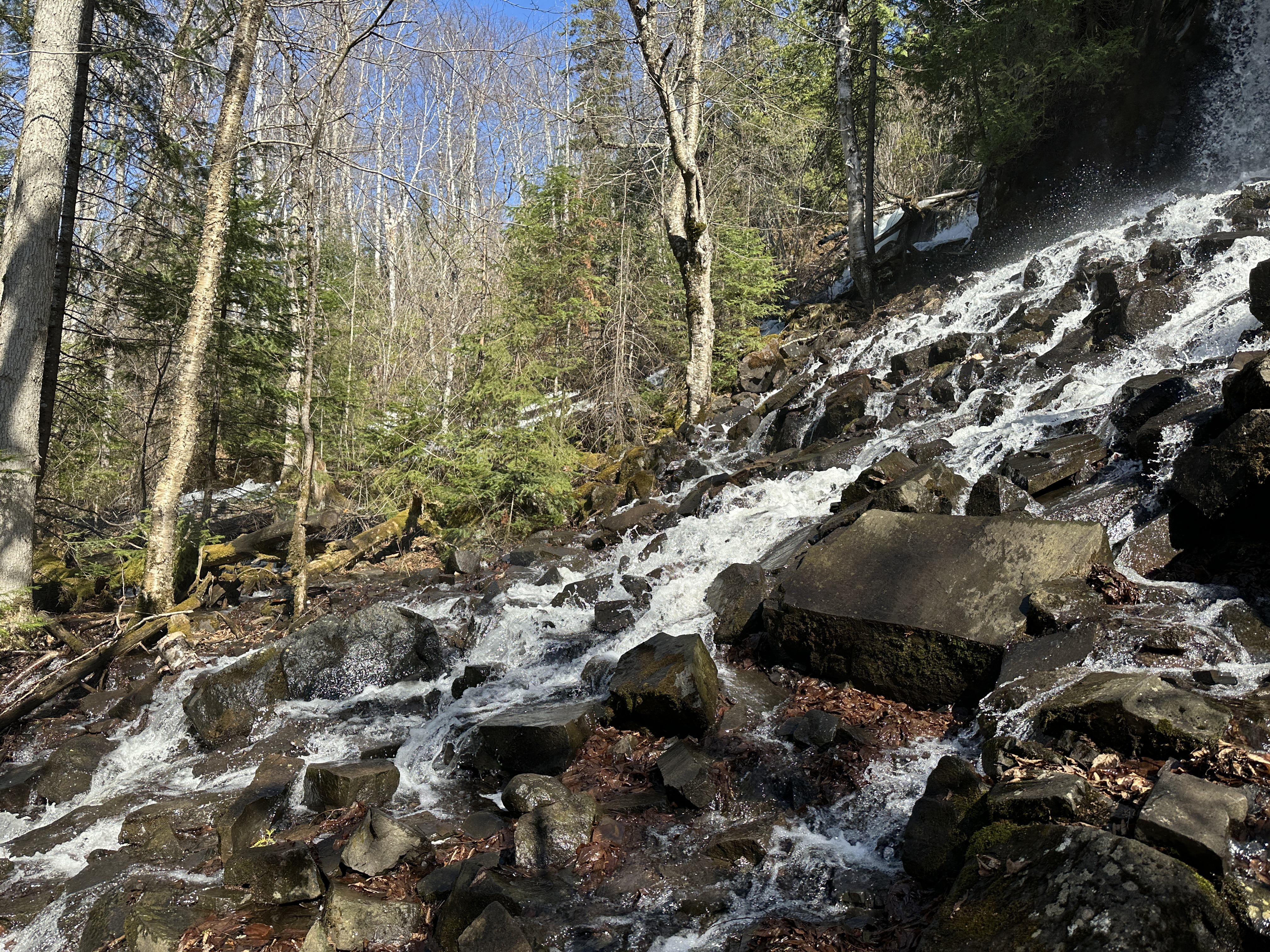
Bridal Falls during spring runoff.
Bridal Falls. The waterfall is actually very wide during the spring runoff. You can see the water coursing down even to the far left through the trees. There is still some ice hanging from the waterfall visible on the far right of the image.
Bridal Falls. Portrait view.
Bridal Falls. The waterfall is at least a couple hundred feet across during the peak of the spring runoff (you can see the water running through the trees in the far background to the left).