Entry Point 81 - Border Route Trail (West)
Gunflint Ranger District
From Grand Marais, Minnesota, it is 47.6 miles to BWCA Entry Point 81 - Border Route Trail (West). This trailhead serves both the Magnetic Rock Trail and the Border Route Trail (which are the same trail for the first 3 miles).
The Magnetic Rock Trail ends at a 60 foot monolith of rock that has a strong magnetic field. Past Magnetic Rock, the trail continues to the east for about 62 more miles (65 miles total - depends on whose measurement you use) until it connects with the Superior Hiking Trail (this link opens a different website in a new window) on its eastern end near a location called 270 Degree Overlook. You can keep right on hiking along that trail too (just like Forrest Gump just kept on walking). The Superior Hiking Trail continues another 310 miles along the North Shore of Minnesota until it eventually reaches the Minnesota-Wisconsin Border. If you really want to keep hiking, it doesn't have to end here though either. All of these trails, the Kekekabic Trail, the Border Route Trail and the Superior Hiking Trail are now part of a national trail called the North Country National Scenic Trail. The North Country Trail was recently rerouted through Minnesota to use the Superior Hiking Trail/Border Route Trail/Kekekabic Trail as its new route through this part of the state.
Note that BWCA Entry Point 56 - Kekekabic Trail (East) is located just south down the road from this entry point on the other side of the Gunflint Trail road. That will take you to the west. It is called Kekekabic Trail (East) because it is the east end of that trail. A little weird how they named these trail entry points.
A number of other spur trails connect to the Border Route Trail along its route. This allows day hikers to hike various portions of the trail. Some of these spur trails are highly scenic in their own right. Most trail users of the Border Route Trail are day hikers, not through hikers. If you are a through hiker and planning to camp along the trail, you probably need a BWCA permit as most of the trail is in the Boundary Waters Canoe Area.
The Border Route Trail is taken care of by a volunteer organization called the BRT Association. They schedule trail clearing trips, provide updates on trail conditions and have a very useful trail guide. Their website is: BRT Association
Exploring the Entry Point
Click on the photos below to see the full resolution image - Use your browsers back button to close photo and return to this page.
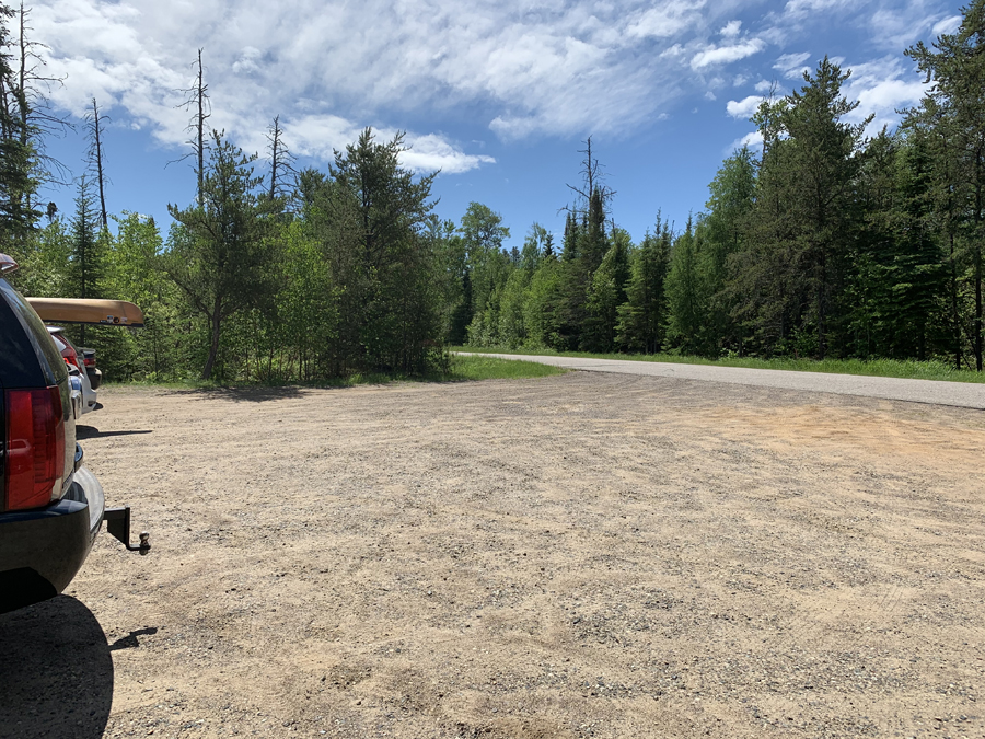
The parking lot. The Gunflint Trail is visible in the background. If you want to visit the Kekekabic Trail (East) trailhead, just head to the left down the Gunflint Trail. It's only a few hundred feet down the road. That is also a trailhead for the Centennial Trail. The Centennial Trail runs conterminus with the Kekekabic Trail for the first couple miles, it then loops back to the Gunflint Trail. There is room for perhaps a dozen cars in this parking lot. It can be busy on weekends.
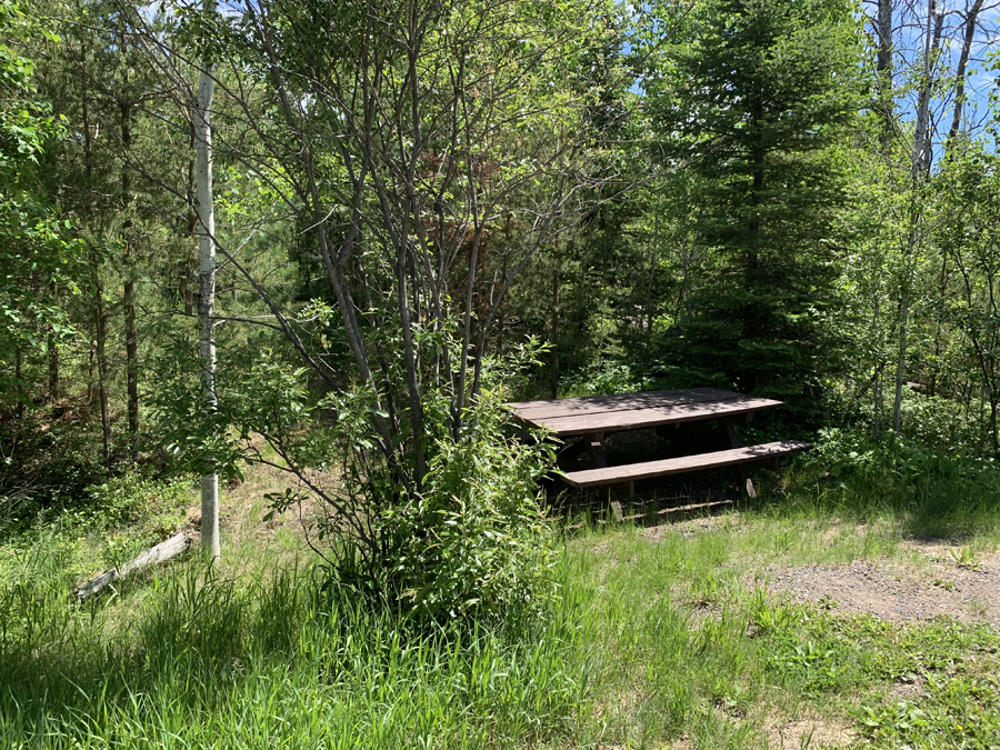
If you want to get some mosquito bites before you start hiking, sit at this nice shady picnic table over in the long grass for a little while. This picnic table is a few feet from the edge of the parking lot.
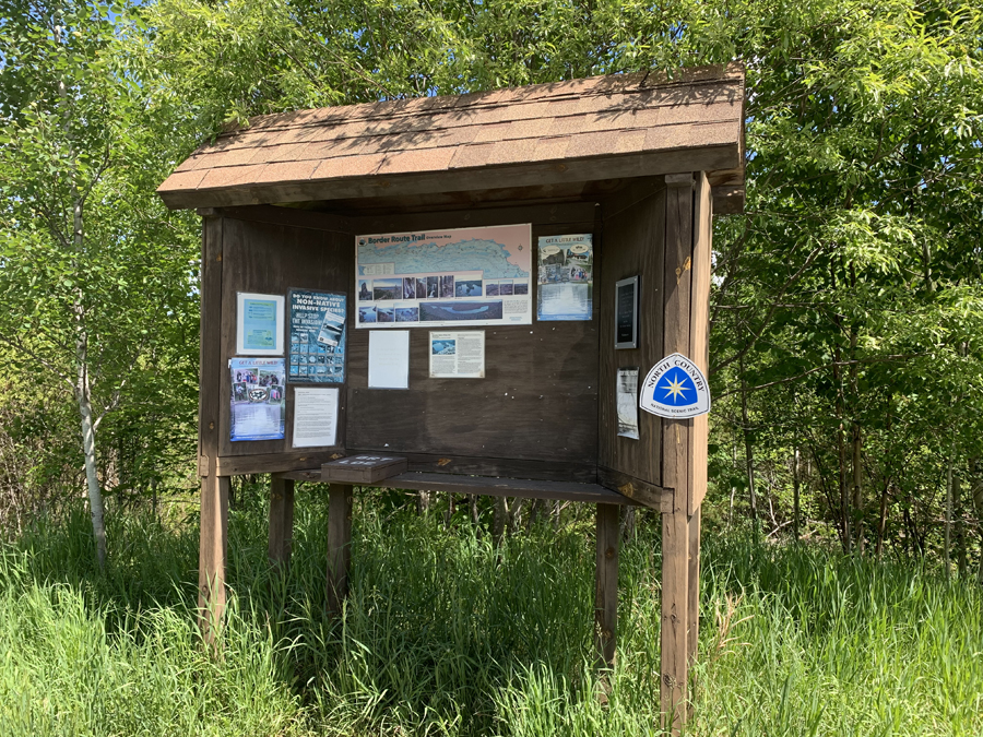
The bulletin board typical of all entry points. Notice the North Country sign. The Border Route Trail is now part of the North Country National Scenic Trail. This trail runs from New York to North Dakota (a few thousand miles).
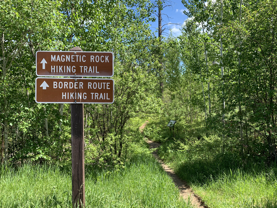
The start of both The Border Route Trail and the Magnetic Rock Trail. The Magnetic Rock Trail is three miles long and ends at a 60 foot high rock appropriately called Magnetic Rock. Past that big rock, its Border Route Trail for another 62 miles or so until you reach the its east end where it meets up with the Superior Hiking Trail.
Now that you've reached the trailhead, start hiking the: BORDER ROUTE TRAIL
Return to List of BWCA Entry Points (sorted by Entry Point Name or by Entry Point #)
|


