Nearest Ranger Station: Gunflint Ranger Station, Grand Marais, MN along Hwy. 61 on the North Shore
Portage Length from Parking Lot: None
Restroom at Entry Point: Yes. In the McFarland Lake Campground
Entry Point 83 - Border Route Trail (East)
Gunflint Ranger District
Directions:
From Grand Marais, Minnesota, take MN-61 north for 19.0 miles.
Turn left onto the Arrowhead Trail (County Road 16)
Follow the Arrowhead Trail north for 18.0 miles to the McFarland Lake Campground. Stay right at the split (don't go into the campground). The parking lot is just a few hundred feet further down the road on the right side.
The McFarland Lake Campground has about eight campsites. This is a primitive campground with few amenities. There is a restroom. Each campsite has an open area with a fire ring and picnic table (trestle table). The campground sites are available on a first-come, first-served basis.
If you just want to do a day hike of the BRT, you can get a self-issued BWCA day permit in the box attached to the BWCA Entry Point #69 and #70 bulletin board across the parking lot. Just fill it out and stuff it in the secured box.
Exploring the Entry Point
Click on the photos below to see the full resolution image - Use your browsers back button to close photo and return to this page.
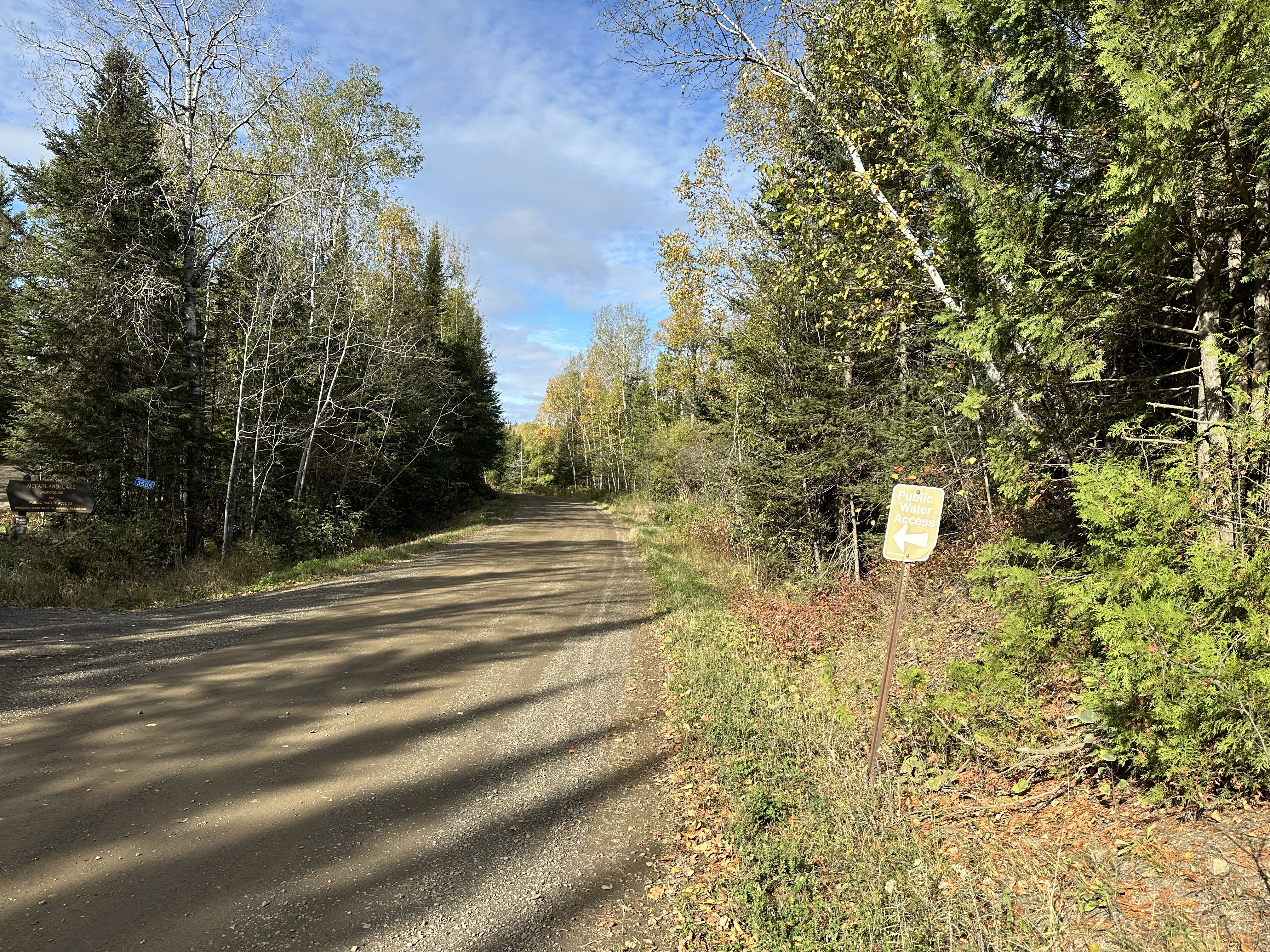
Turn off sign along the Arrowhead Trail (October 8, 2023).
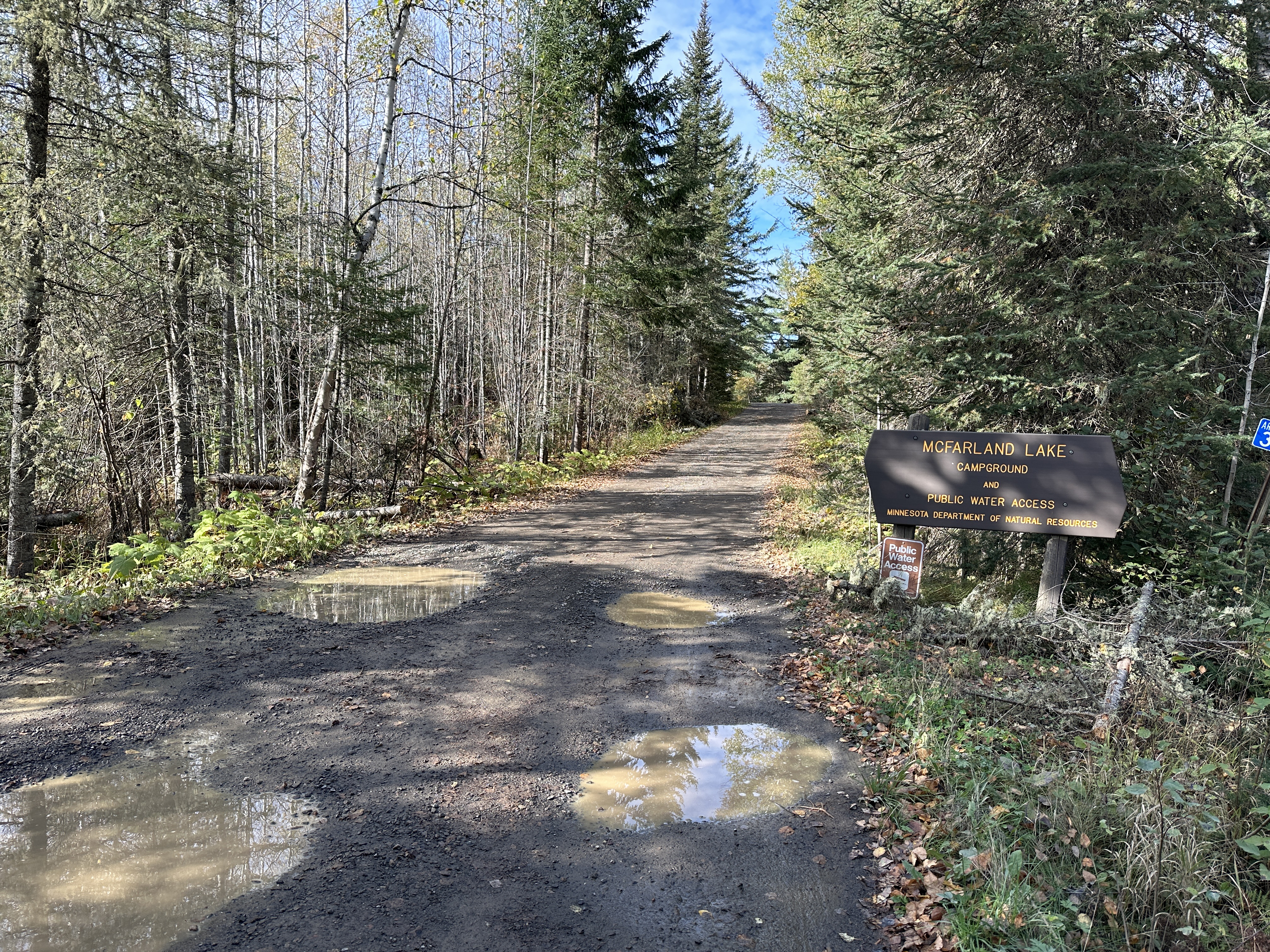
The McFarland Lake Campground access road. You don't want to follow this road if heading directly to the entry point parking lot. Stay right at the split (October 8, 2023).
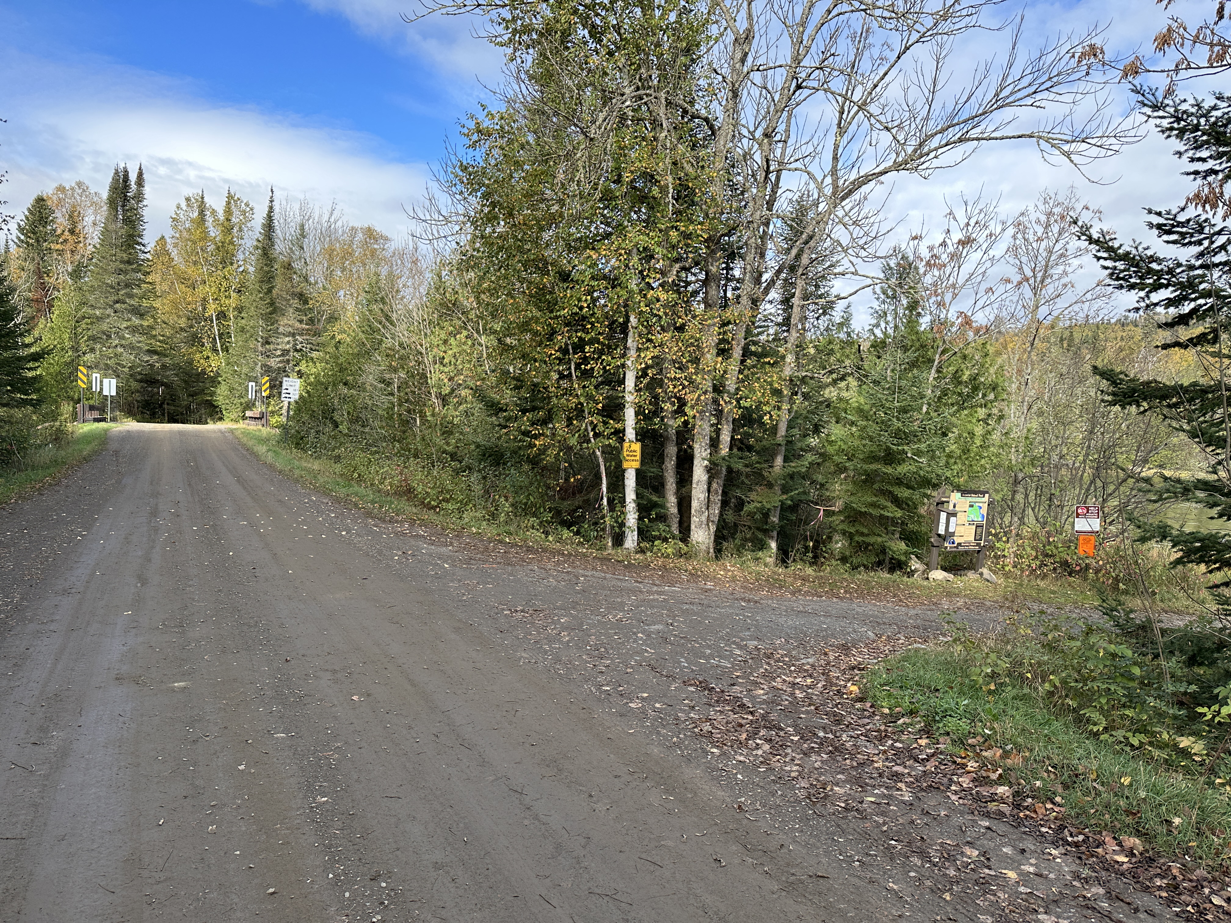
Near the end of the Arrowhead Trail road, you come to the parking lot for BWCA Entry Points 69, 70 and 83 on the right (October 8, 2023).
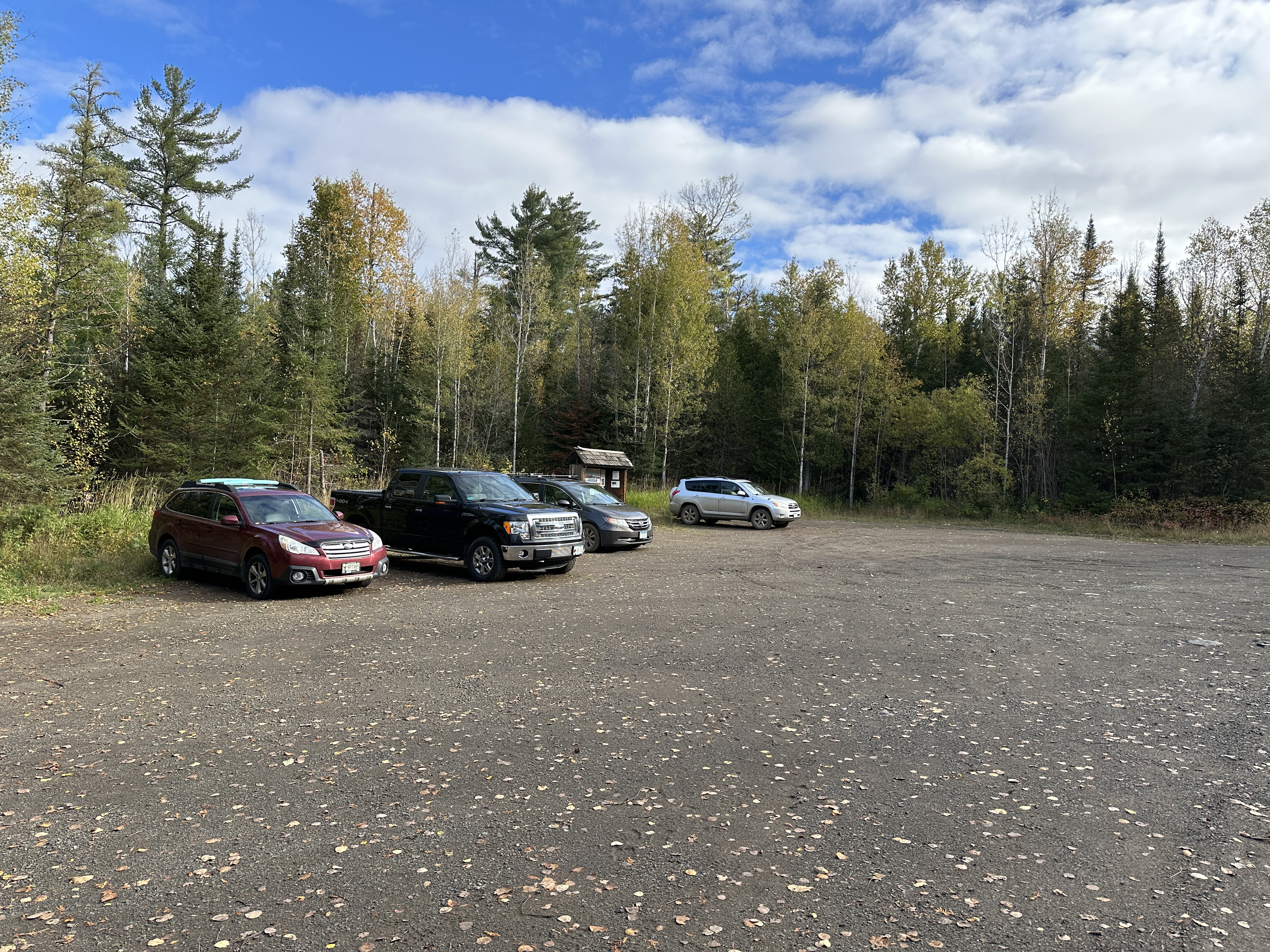
This is the parking lot for BWCA Entry Points 69, 70 and 83. The kiosk bulletin board for BWCA Entry Point 83 - Border Route Trail (East) is visible near the center of the photo behind the vehicles (October 8, 2023).
Bulletin board for BWCA Entry Points 69 and 70 is also here (October 8, 2023).
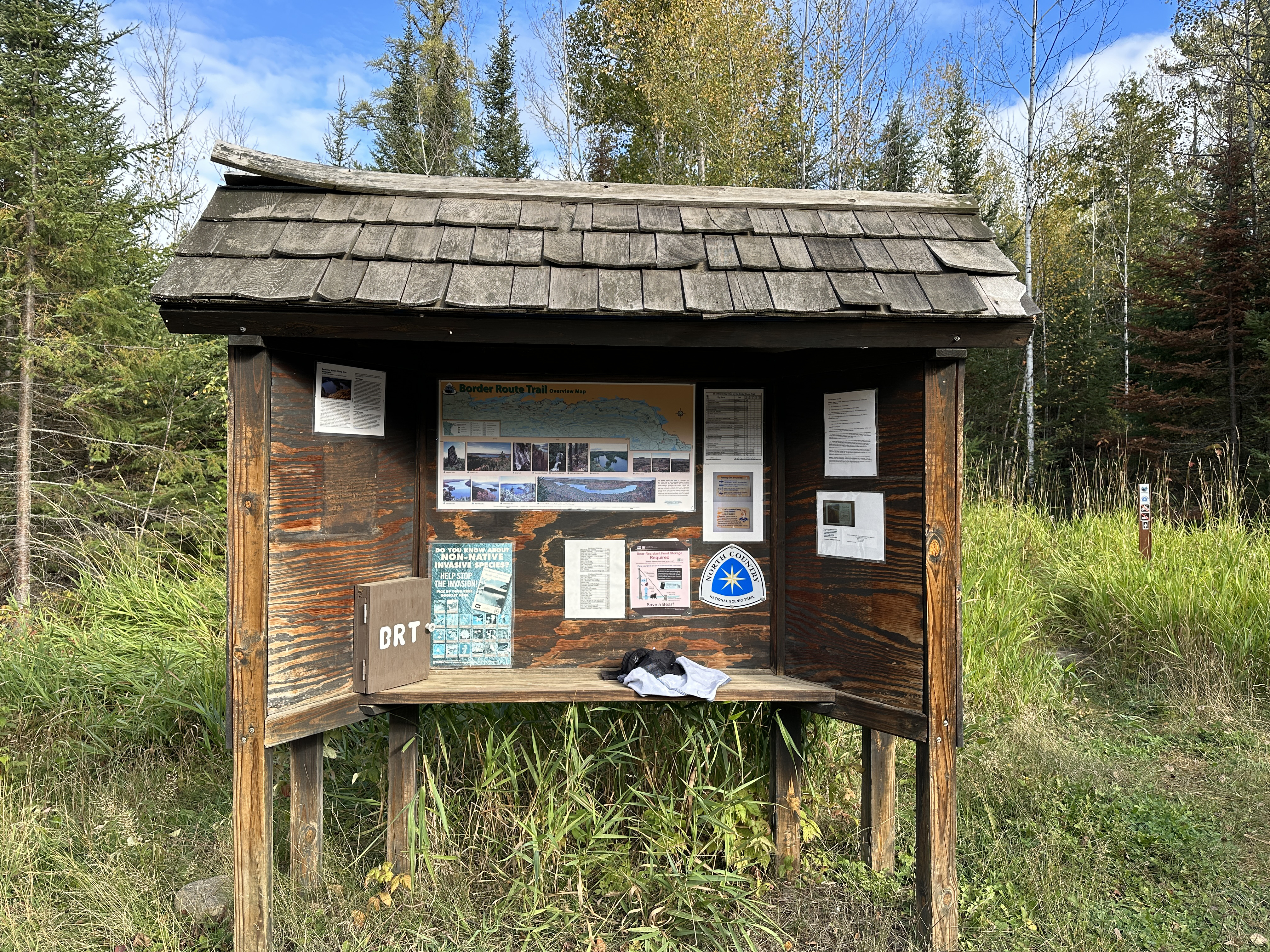
The bulletin board for hikers of the Border Route Trail (BRT). If you want to do a day hike on the BRT, you need a BWCA day permit. You can get the forms in the box attached to the BWCA Entry Point 69 and 70 bulletin board across the parking lot. (October 8, 2023).
View of the BRT as it comes into the parking lot next to the kiosk (October 8, 2023).
View of the Border Route Trail near the parking lot (October 8, 2023).
After the BRT leaves the parking lot, it heads to the west a short distance down the Arrowhead Trail and crosses this bridge. This bridge actually crosses a short segment of the Crocodile River that connects McFarland Lake and Little John Lake (October 8, 2023).
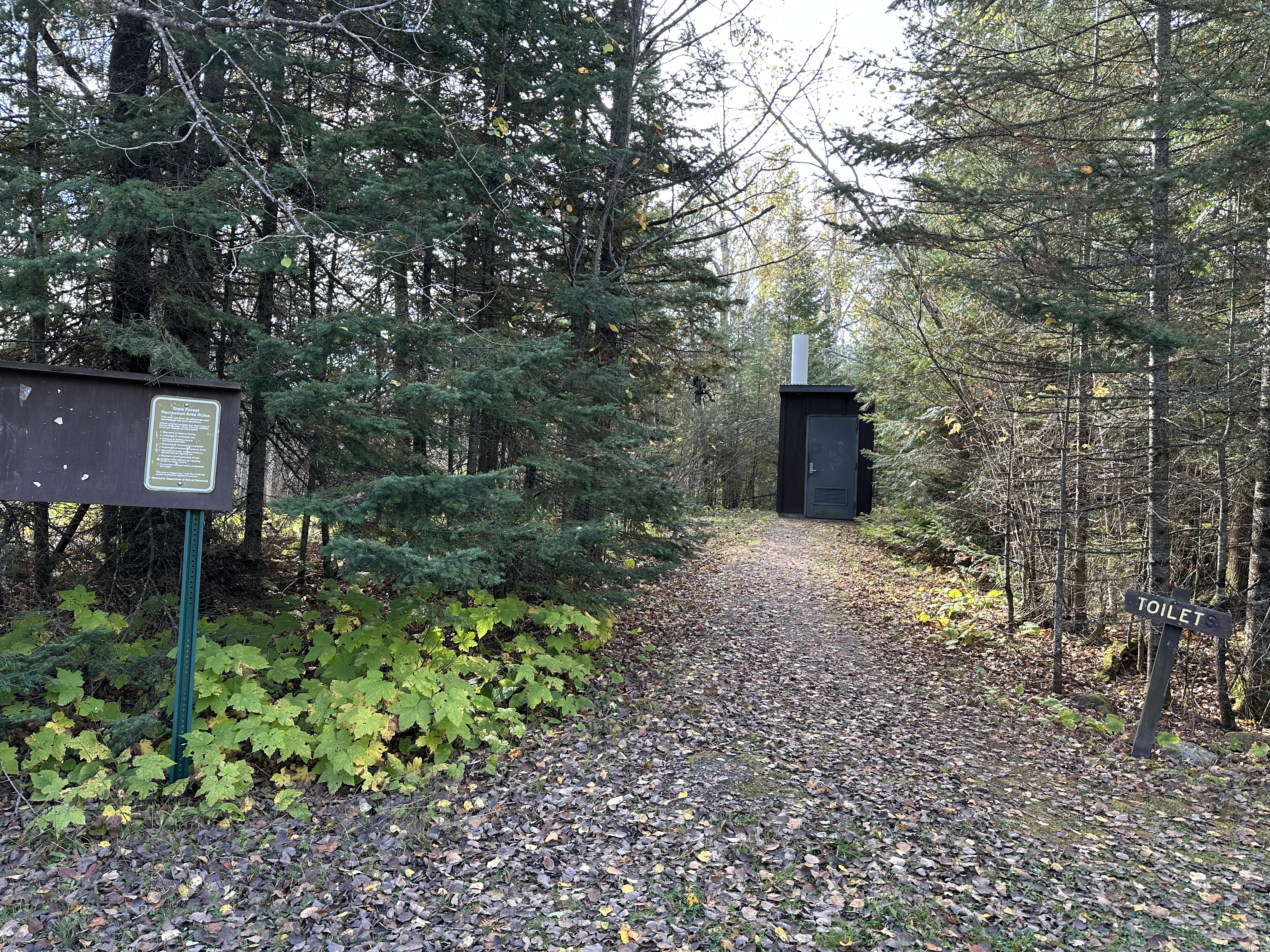
This is the outhouse at the McFarland Lake Campground (October 8, 2023).
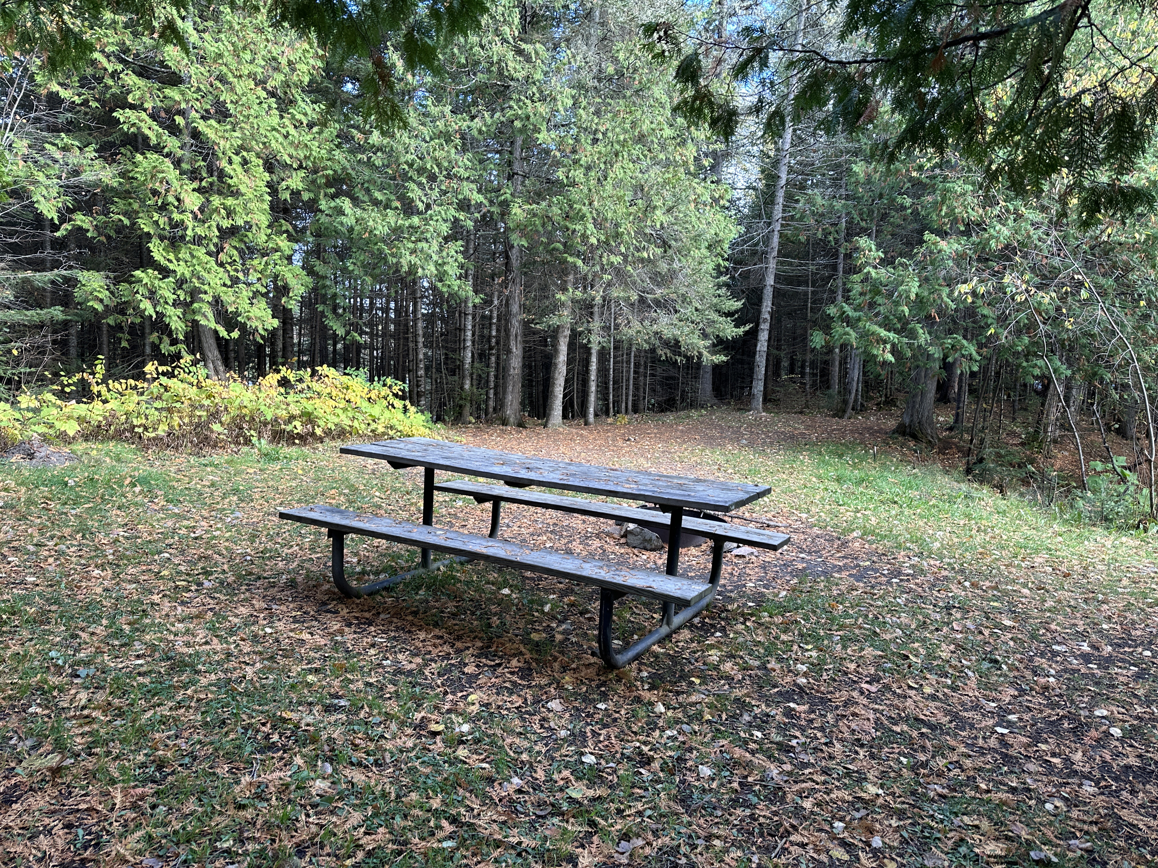
Typical campsite at McFarland Lake Campground. Each has a picnic table and a fire grate (not shown) set in an open patch (October 8, 2023).
Now that you've reached the trailhead, start hiking the:BORDER ROUTE TRAIL