Sora Lake is a long, narrow lake that drains to the north, through a series of ponds, into Copper Lake. Sora Lake probably gets its name from a small, brownish-gray bird called the American rail, which typically nests in marshlands.
A number of smaller burns affected the eastern part of the Boundary Waters Canoe Area Wilderness in 1936, including some areas in the Hairy Lake Primitive Management Area.
A huge 1875 fire that likely ignited somewhere near Lake Insula burned some of the forest near Sora Lake. The fire is known as the Alice Lake/Ogishkemuncie Lake/Tuscarora Lake/Cherokee Lake Complex. One of the big 1863-64 fires, namely the North Kawishiwi River/Alice Lake/Cypress Lake/Saganaga Lake Complex, ravaged this area. This fire likely started near the town of Isabella, Minnesota. Another fire, which took place in 1846, is called the Auk Lake/Long Island Lake/Cross Bay Lake Complex. This fire started within what is now the Hairy Lake Primitive Management Area. The ignition point was probably somewhere between Mass Lake and Auk Lake (Heinselman, 1999).
Way back in 1727, the Gordon Lake/Brule Lake/Winchell Lake Complex burned this area. It probably began somewhere near Sawbill Lake.
References:
Heinselman, Miron, The Boundary Waters Wilderness Ecosystem (Minneapolis: University of Minnesota Press, 1999).
Pauly, Daniel, Exploring the Boundary Waters (Minneapolis: University of Minnesota Press, 2005), 329.
Click on the photos below to see the full resolution image - Use your browsers back button to close photo and return to this page.
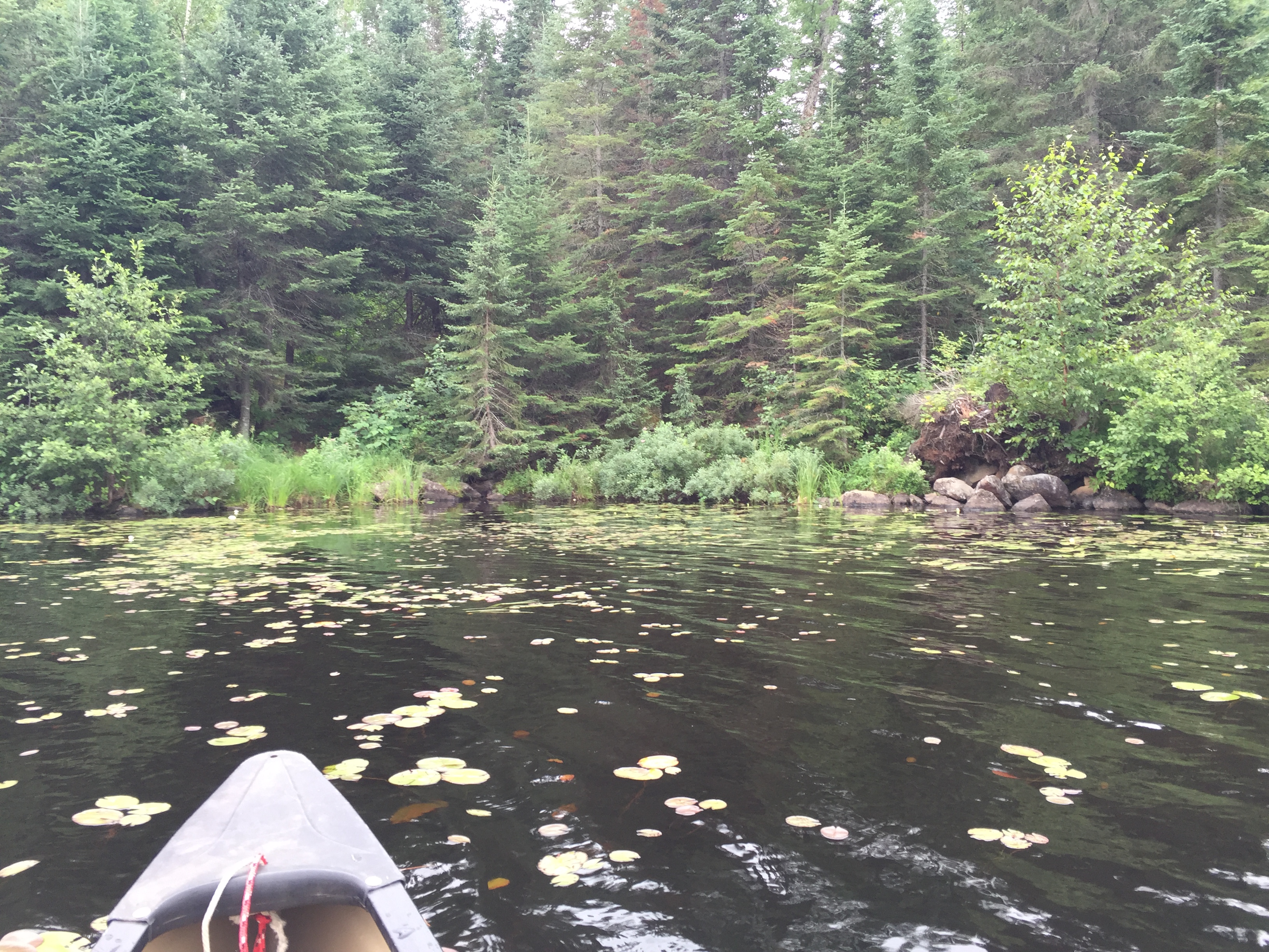
From the south shore of Copper Lake, towards its west end, look for a small creek flowing into the lake. There is a boulder pile here too. Directly off the bow of the canoe in that grass is the start of the bushwhack trail. The boulders to the right are where the creek flows into Copper Lake.
It is also directly across the lake from the old copper mine which is evidenced by a highly eroded cliff.
If coming from Din Lake: Look for the creek flowing out of the north side of the main body of the lake.
Bushwhack to Sora Lake
From Copper Lake:
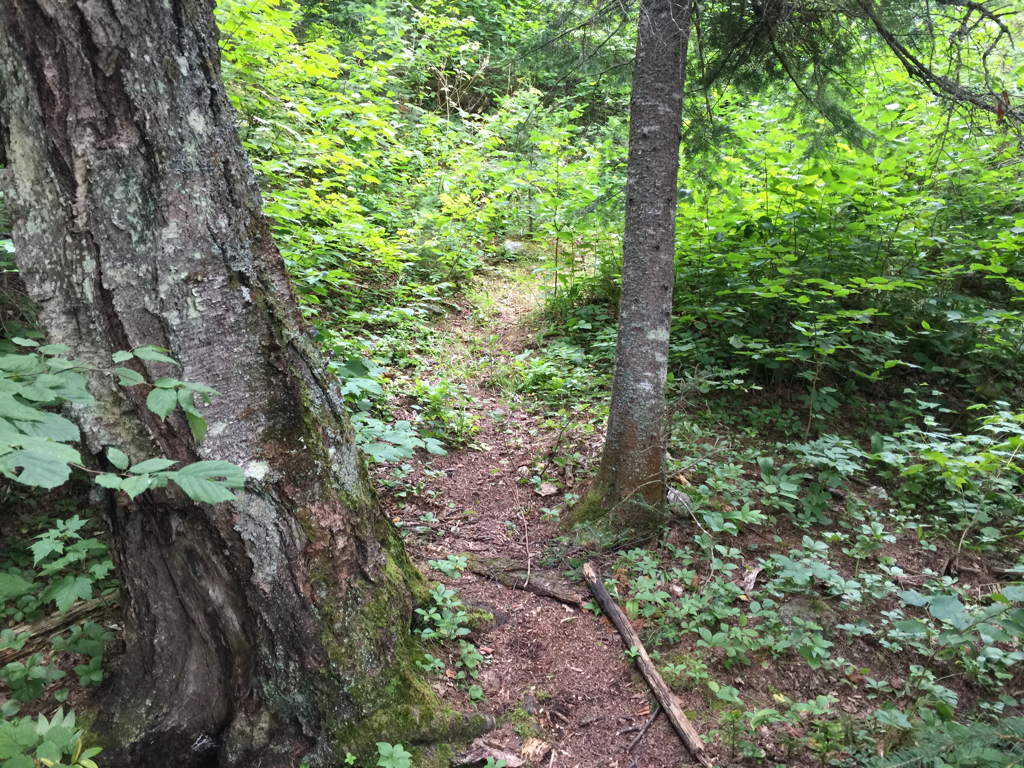
Head south, keeping the creek to your right through the forest. There is a trail in the beginning to follow that will fade out when you reach the wetland, which is located at the top of the hill. This trail runs just east of the tiny creek that flows down the hill.
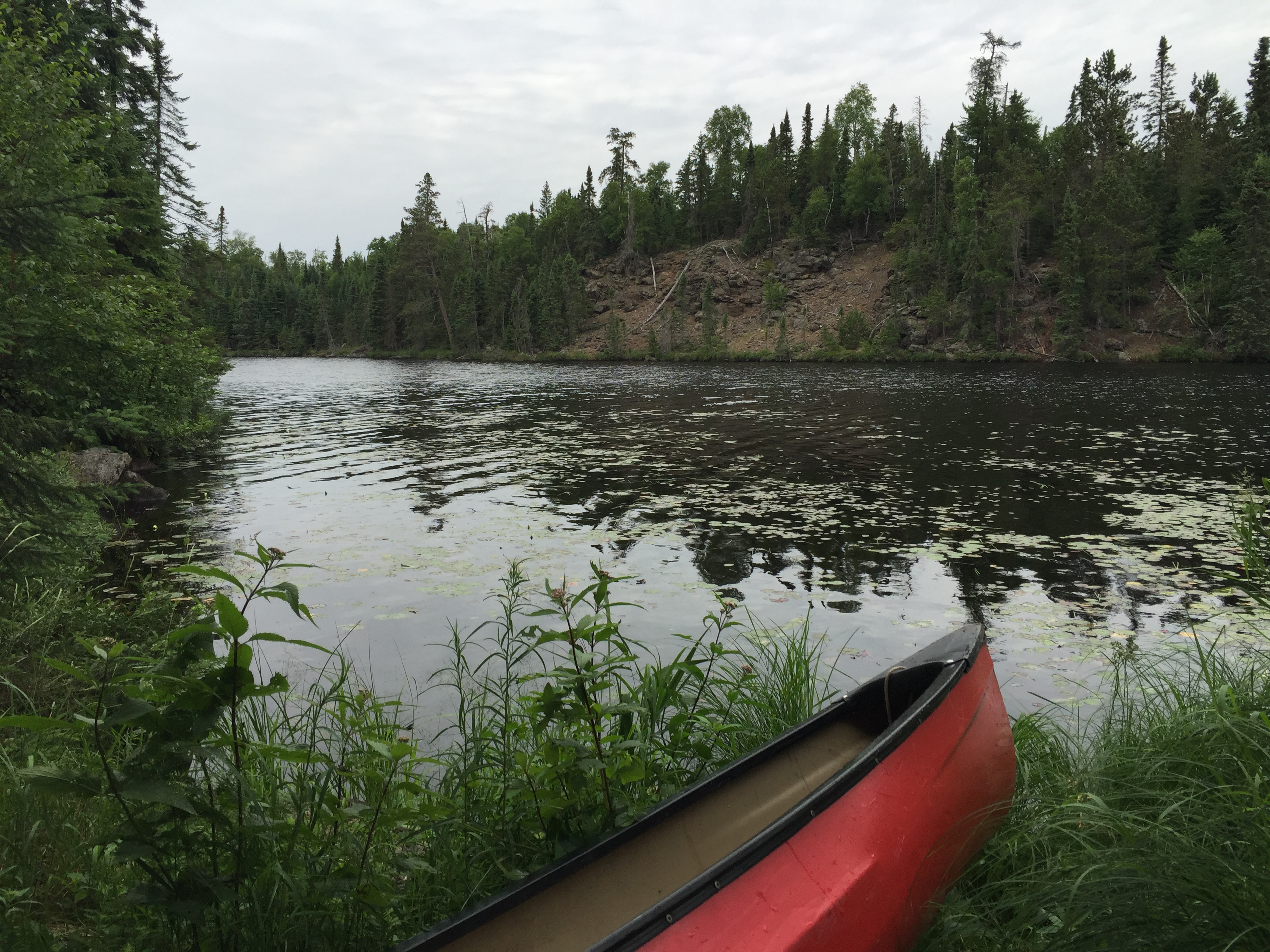
A look back toward Copper Lake from a little ways up the trail, along the route to Sora Lake.
From the shore of Copper Lake, bushwhack along a faint trail up a hill. The creek to your right becomes visible near the top of the hill. You eventually break out of the trees at the edge of a wetland. Follow the left side of the wetland (east side) south. Watch for occasional holes hidden in the grass. There are also boulders hidden in the long grass and brush waiting to trip you up. Lots of dry, brittle trees try to impede your progress too. A large beaver dam holds back the pond ahead of you. The best place to position a canoe for launch into the pond seems to be from the left end of this structure. There is a little inlet near the dam that leads out into the main body of water.
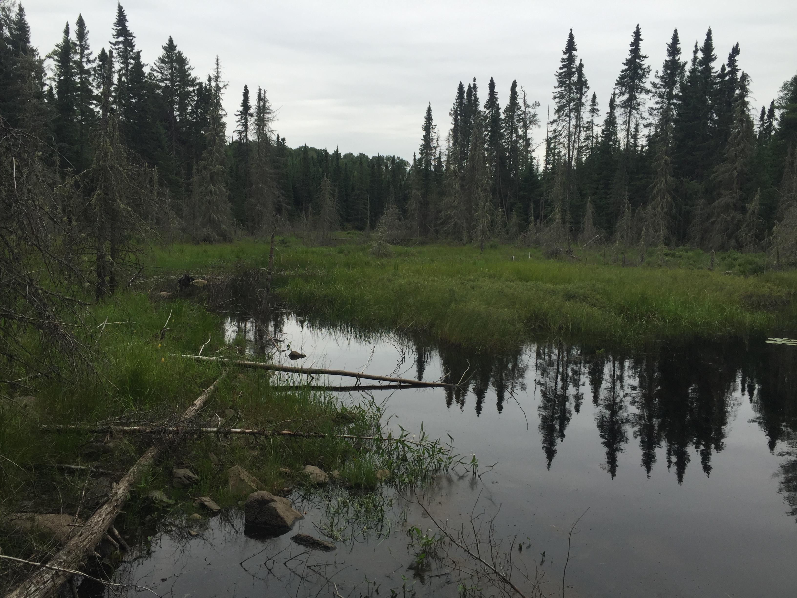
Arrive at the wetland by following the trail 15 rods up the hill. Walk along the left side of the marsh for perhaps 20 rods or so until you come to the first pond. The footing is OK, but watch for big holes hidden in the grass. There is still slight evidence of fire damage in this area, speculating it is from the small 1936 fires.
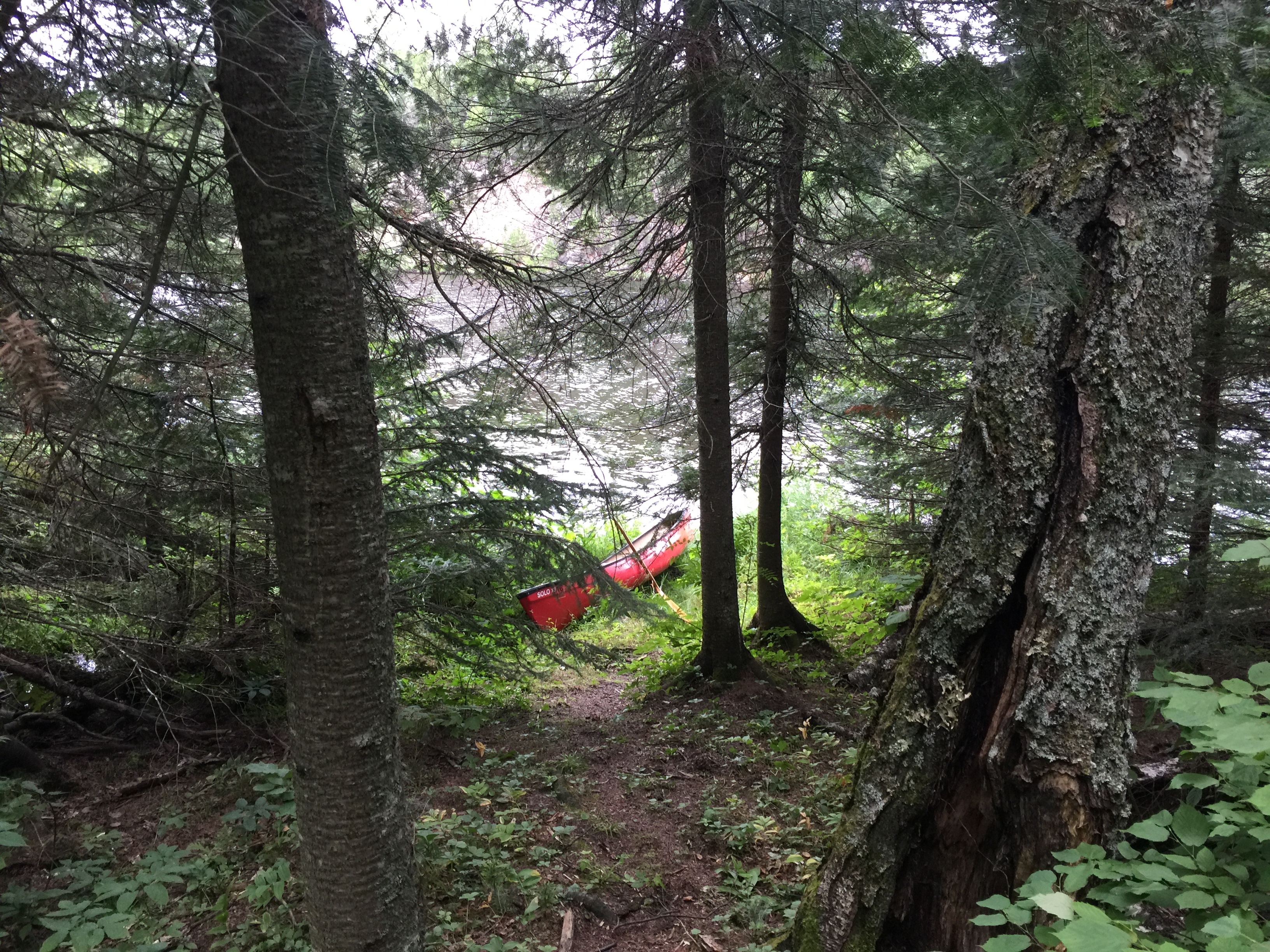
This is the north most of a string of three ponds on the way to Sora Lake. This is the one closest to Copper Lake. A large beaver dam maintains the water level of this pond. If this beaver dam was to break, the pond would extend farther north toward Copper Lake, likely inundating the wetland you just walked next by to get here. The beaver dam is completely overgrown, but it is large and extends from the center of the view at your feet toward the right nearly to those trees. There are two more large ponds (one particularly big) further south as you make your way toward Sora Lake. The only details shown on this web page so far, are for getting to this first northern most pond from Copper Lake.
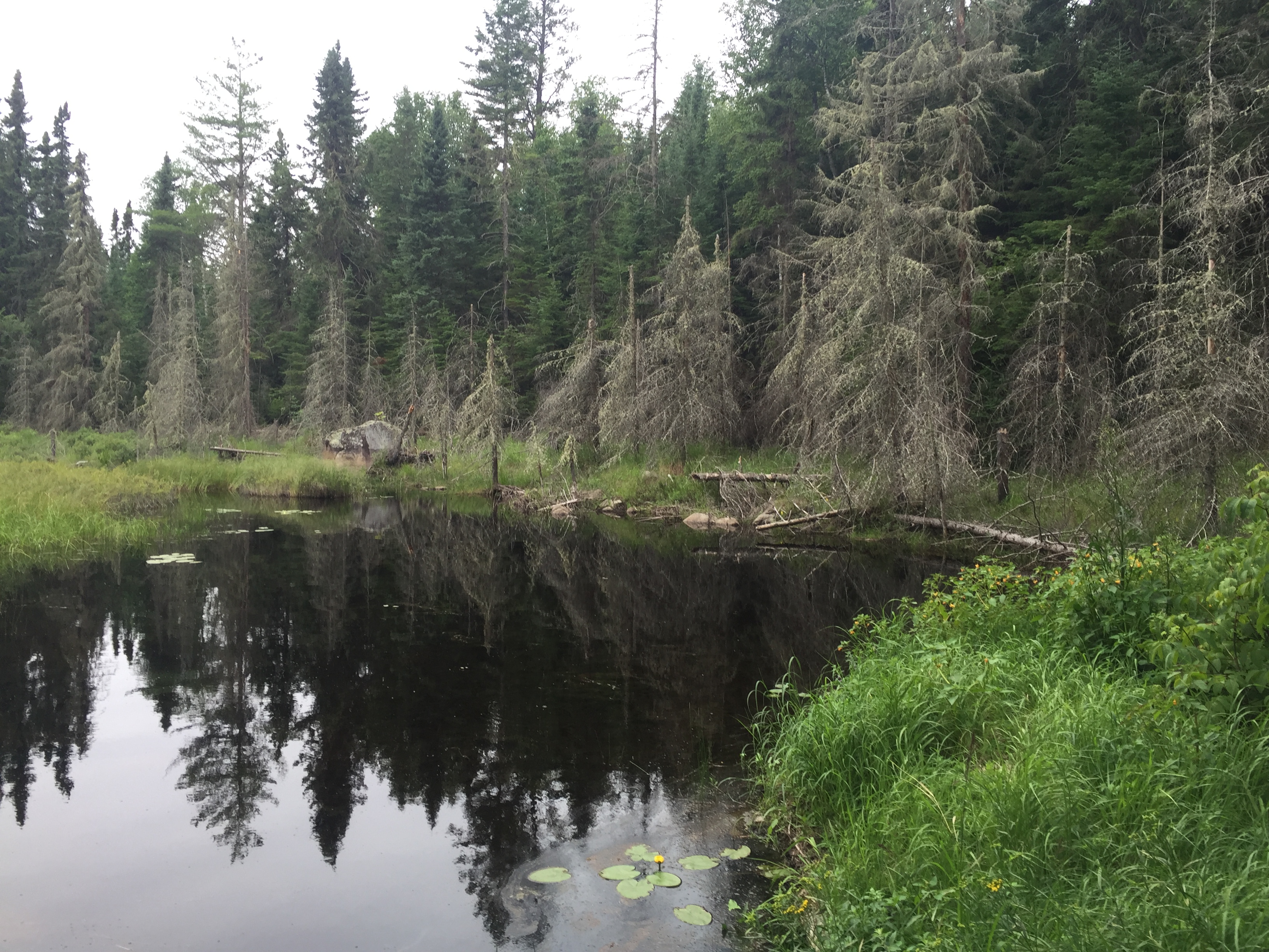
Standing on the beaver dam looking southwest across the pond.
Another view of the north pond. A large cliff is visible in the distance on the right.
Bushwhack from the pond back to Copper Lake
The entire bushwhack from the north pond back to Copper Lake.
From Copper Lake to Sora Lake, you will gain about 120 feet in elevation. The entire bushwhack is about 320 rods (which is one mile).
From Din Lake:
A short bushwhack of about 15 rods along a creek to reach Sora Lake.
Exploring Sora Lake
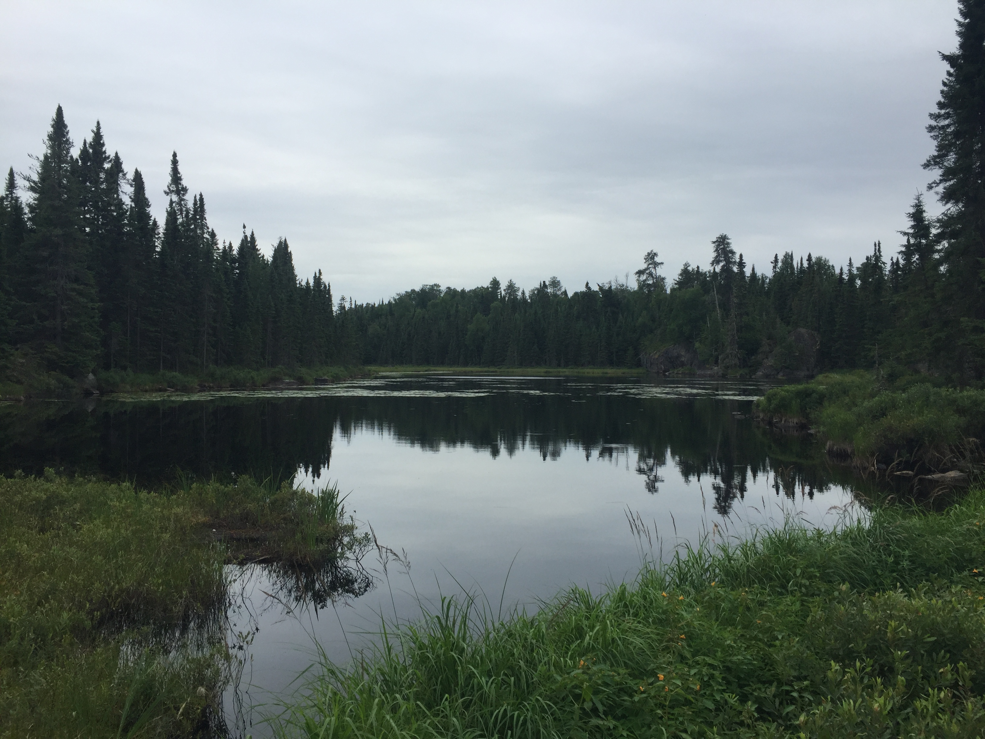
Sora Lake is about a mile long and only a few hundred feet wide; encased by cliffs for much of its length. There is a nice island on the south end of the lake that has been used in the past as a campsite. From the west shore of Sora Lake, one can attempt a bushwhack to Hairy Lake. Several trip reports covering Sora Lake can be found on the Internet.