The lake likely gets its name from what appears to be an old copper mine toward the western end of the lakes' north shore.
Copper Lake is slender and fairly deep. The lake is fed by two small streams along its south shoreline. Copper Lake's water flows out to the north from the eastern end of the lake through a small stream to Snipe Lake. This stream is crossed along the portage between Snipe Lake and Copper Lake. This same streams mouth at Snipe Lake is right next to the start of the 100 rod portage to Copper Lake. The north end of this lake near the Snipe Lake portage is lowland and bogs.
This is not a very heavily traveled area as the portages leading out to this lake are fairly long and are above average in difficulty. There are no campsites on Copper Lake, nor are there any campsites heading west until you reach Tuscarora Lake. Snipe Lake offers the nearest camping spots after you cross the 100 rod portage between the two lakes.
Copper Lake provides access to Sora Lake along its south shoreline. Sora Lake is in the Hairy Lake Primitive Management Area, so there is no maintained portage to this lake. The find the access to this lake, it's almost directly across the lake from the cliff where the failed copper mining operation was. Look for a jumble of boulders and a small stream flowing in. There is a faint trail leading into the forest along the left hand side of this stream as you look at it from Copper Lake. Visit Sora Lake for more details.
There is another creek that also flows into Copper Lake around the middle of the south shore. This very small creek, which is somewhat hard to find, is coming from Little Copper Lake. One can only assume that prospectors found 'little copper' at Little Copper Lake as that lake is actually larger than Copper Lake itself. This creek does not look promising as a route to Little Copper Lake which is in the Hairy Lake PMA. More likely, Little Copper Lake is more easily approached from the Long Island Lake side by coming up through Yogi Lake, Juniper Lake and then into Little Copper Lake.
References:
Beymer, Robert, Boundary Waters Canoe Area – Volume 2 – Eastern Region (Berkeley: Wilderness Press, 2006), 60, 124, 136.
Pauly, Daniel, Exploring the Boundary Waters (Minneapolis: University of Minnesota Press, 2005), 315.
Click on the photos below to see the full resolution image - Use your browsers back button to close photo and return to this page.
PADDLING FROM THE SNIPE LAKE PORTAGE TO THE START OF THE SORA LAKE BUSHWHACK
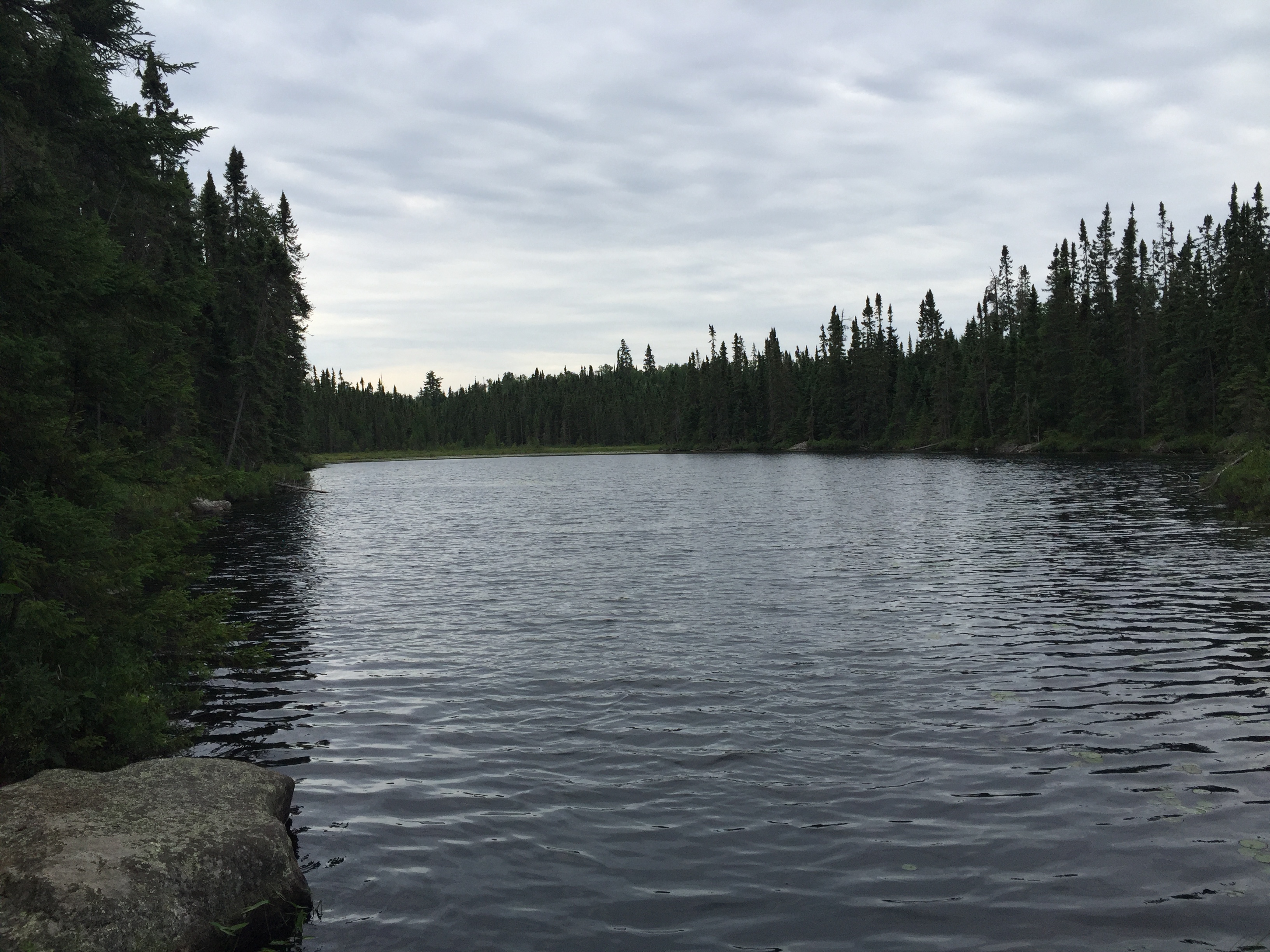
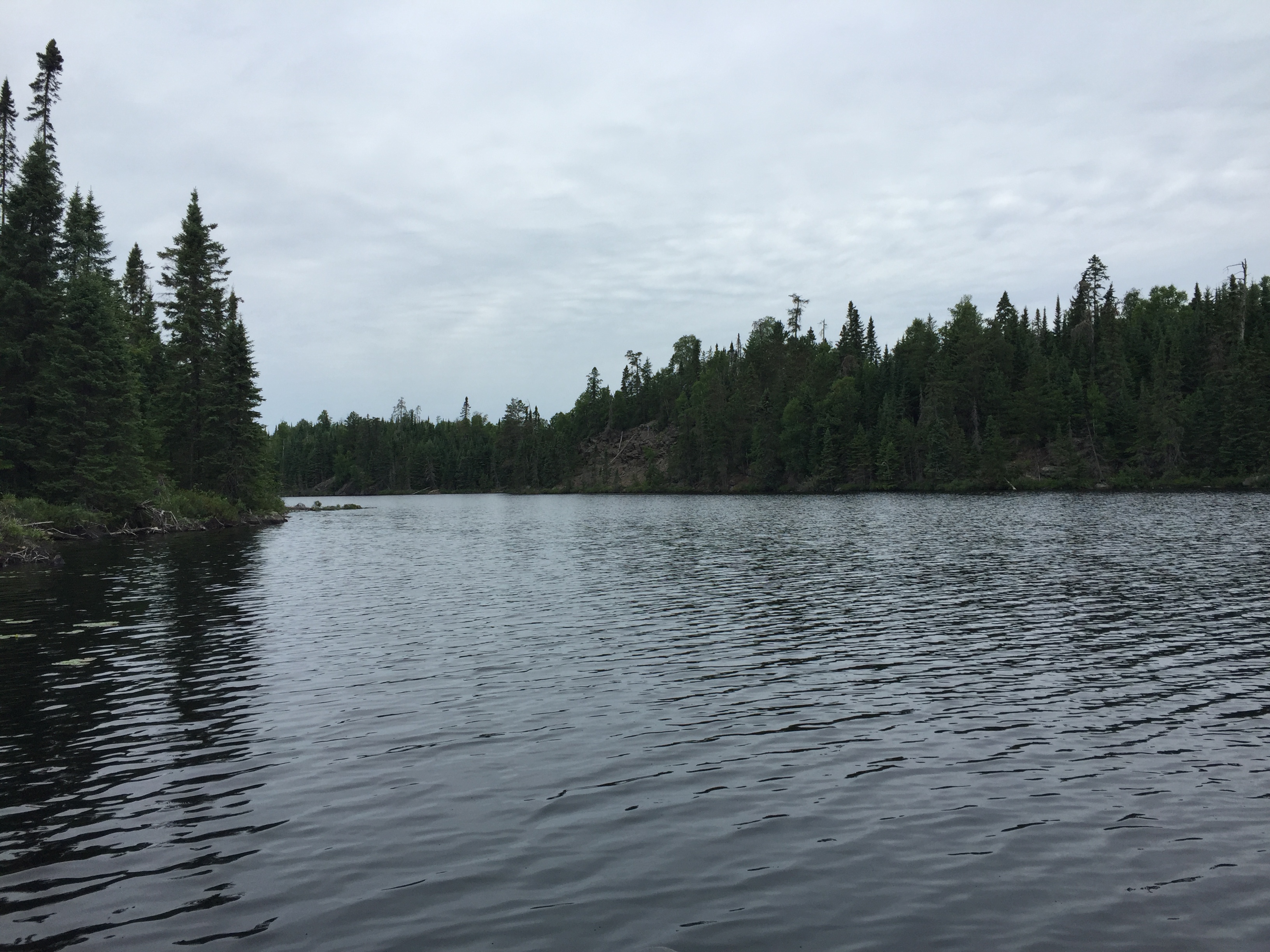
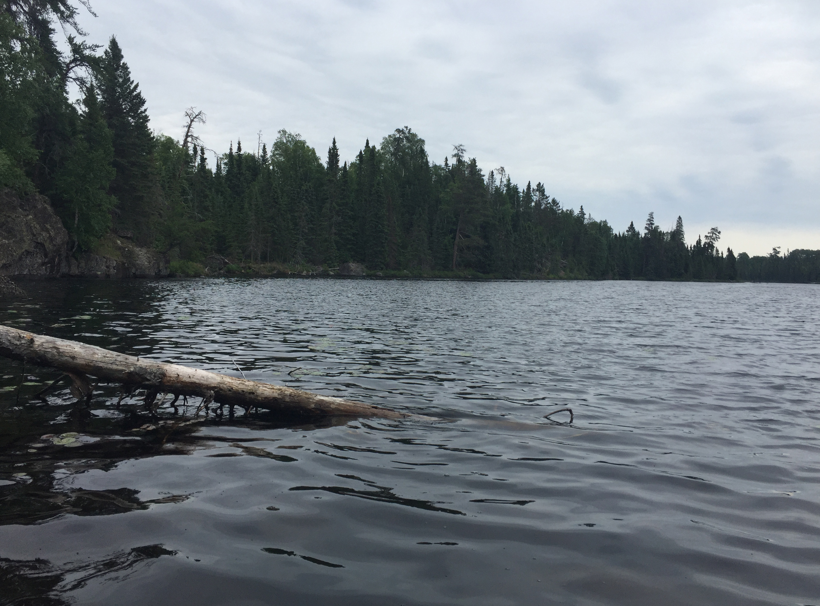
Looking at Copper Lake while you stand at the start of the Snipe Lake portage. Copper Lake bends to the right in the distance and than stretches west. This is the northern most point on the lake.
Leaving the Snipe Lake portage behind, paddle your canoe south and then west as the lake makes a bend to the right. You take a break just offshore from where a creek flows into Copper Lake. This creek is coming from Little Copper Lake which lies to the south of your location. A bit farther down the south shoreline of Copper Lake you pull up to shore again. Here you are looking for a faint trail leading to Sora Lake, but you don't find it. After continuing down the shoreline a bit farther, you discover what you were looking for. The Sora Lake portage (a bushwhack) begins on a faint trail just to the left of the mouth of a creek. It is almost directly across the lake from the cliff that was the site of an old mining operation.
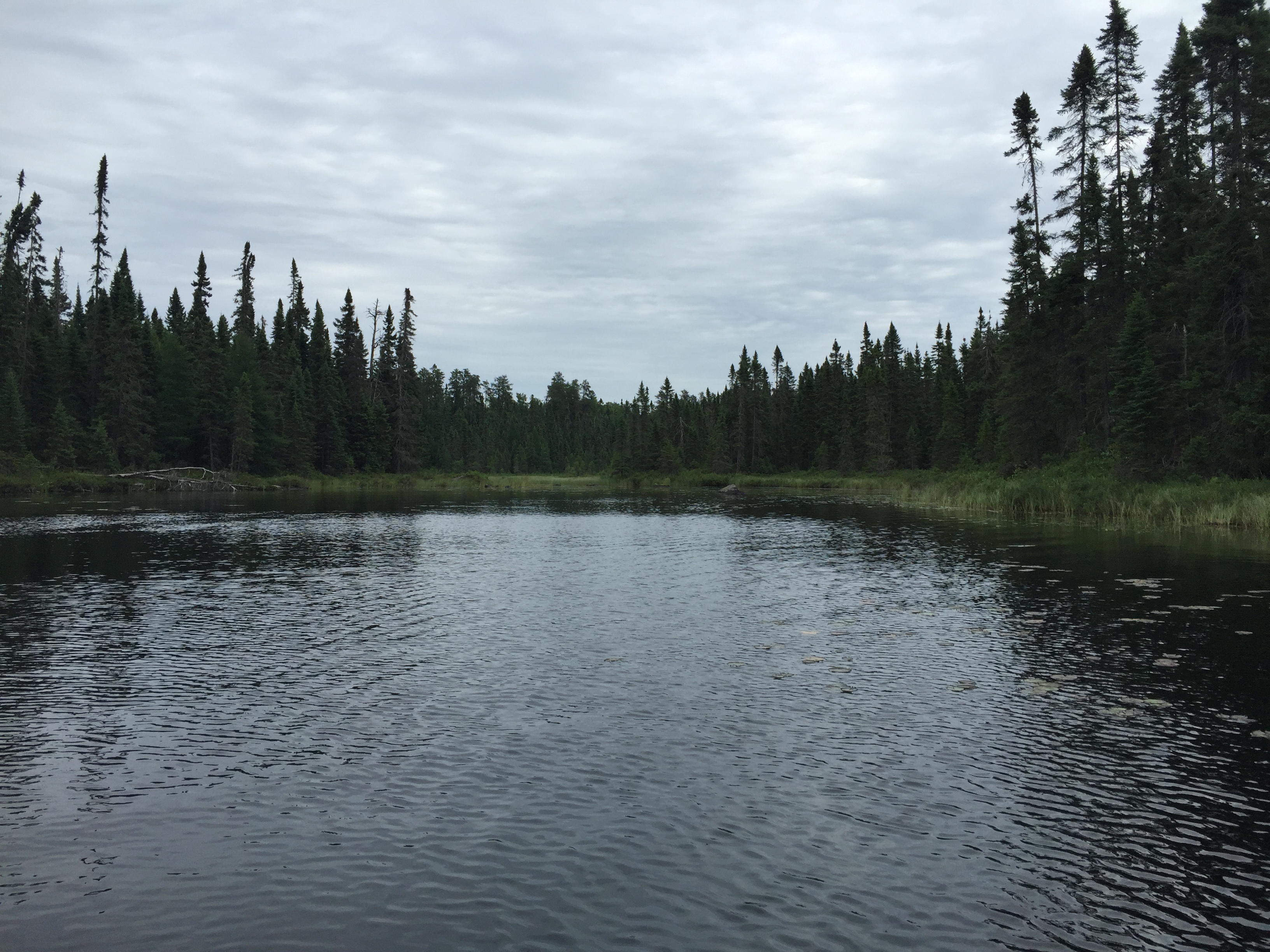
From the bend on Copper Lake, if you look back to the east, you see this bog in the distance.
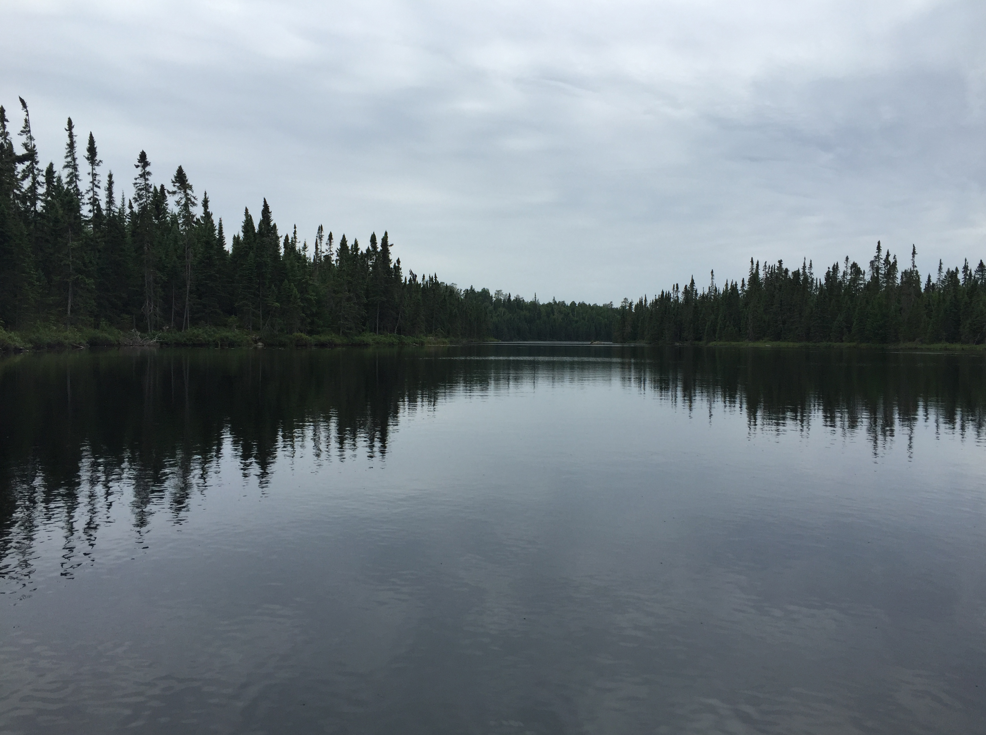
After making the turn to the west on Copper Lake, you can see all the way down the lake to its distant shoreline. The lake is narrow and fairly deep at 52 feet. There is only a modest population of northern pike swimming in this lake.
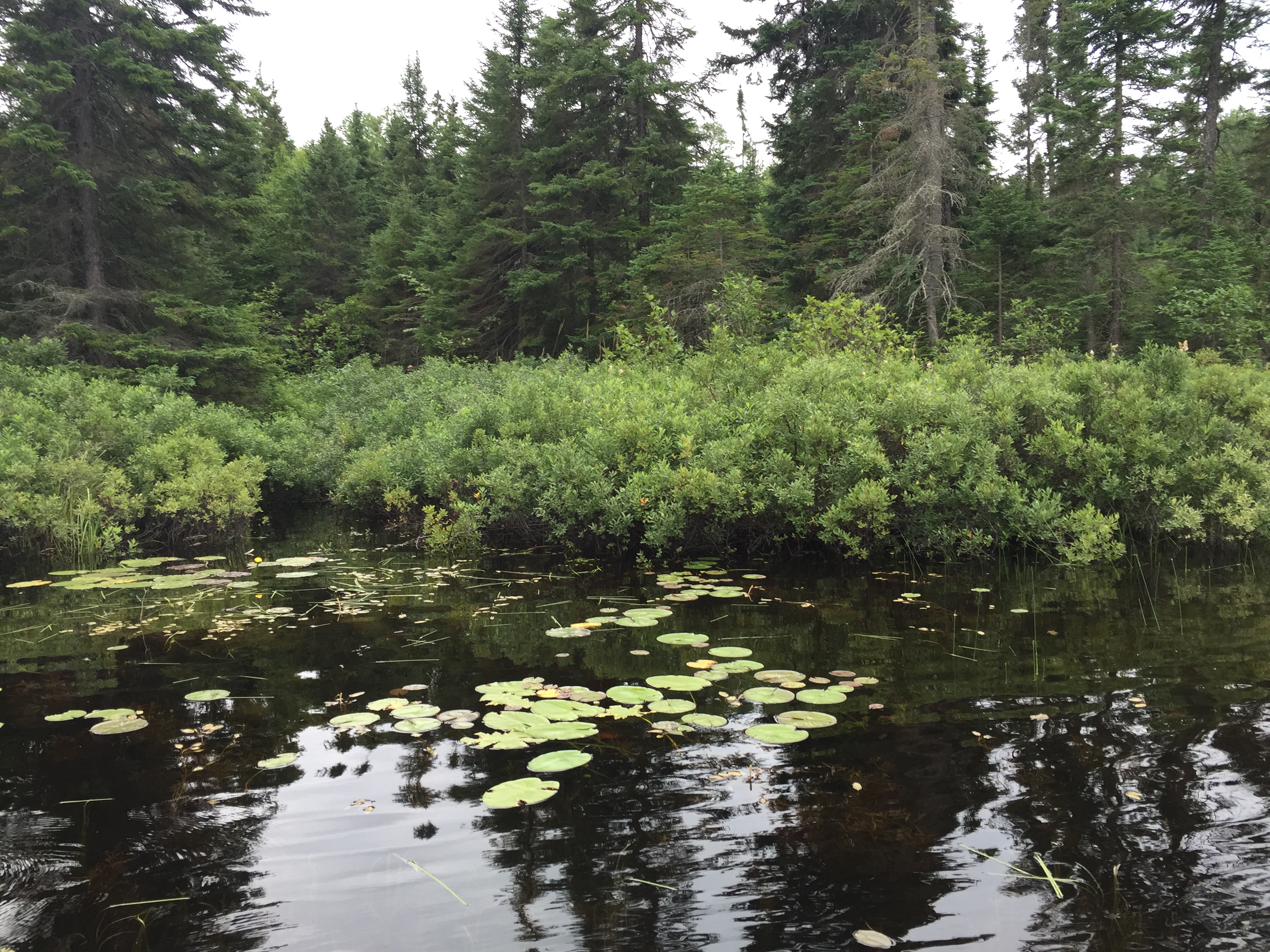
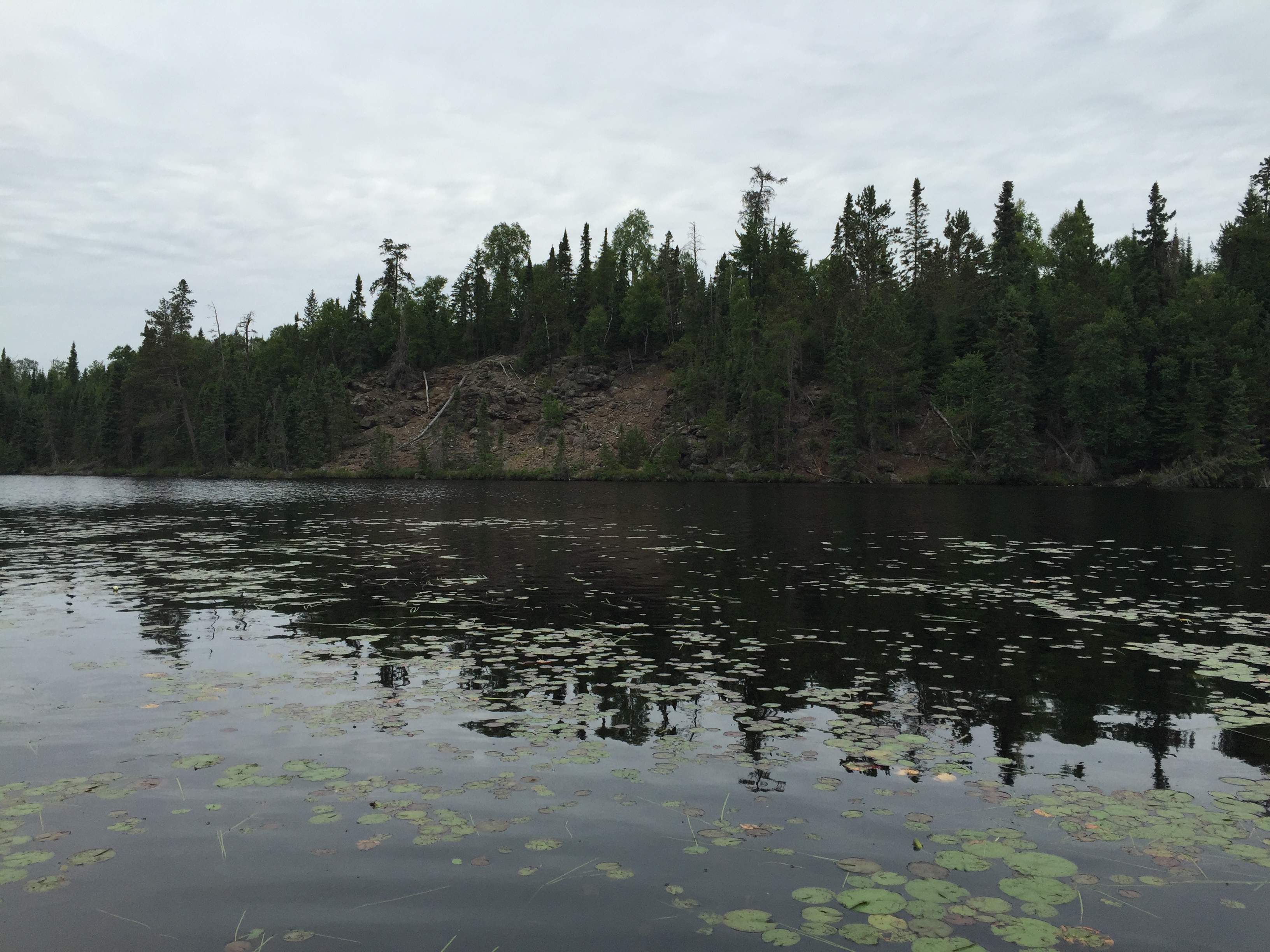
As you proceed west, at the point where Copper Lake begins to widen, if you paddle over to the south shoreline, you can find this little grove of bushes where the tiny brook from Little Copper Lake flows in. Little Copper Lake is a difficult to reach lake in the Hairy Lake Primitive Management Area. It's pretty much due south of this location.
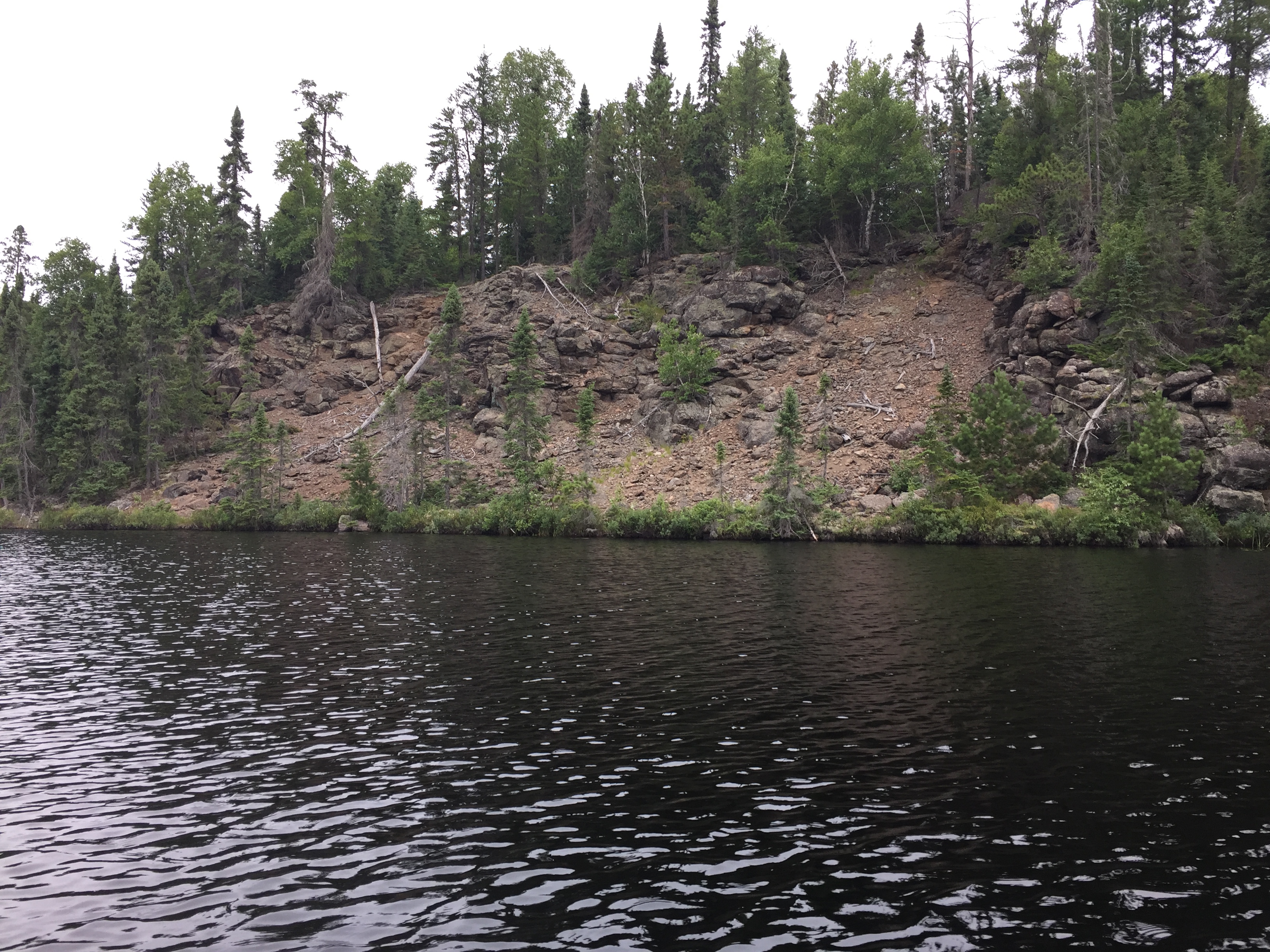
Distant view of the former site of a copper mining operation on a crumbling cliff along the shoreline of Copper Lake.
The most obvious feature on Copper Lake is this jumbled cliff face. It was probably the site of an exploratory copper mine. The lake probably gets its name from this feature or simply because copper mining took place on the lake.
Straight off the bow of your canoe, in that grass, is the landing for the start of the bushwhack to Sora Lake. It doesn't look like much, but once you get on shore there is an obvious trail to be found there that leads up a slight ascent along the creek to an open bog. The pile of rocks to the right of your view is where that creek flows into Copper Lake. The cliff that was likely the site of the old copper mine is almost directly behind you, across the lake from this position. Bushwhack to Sora Lake -or- Explore Another Route ***********************************************END OF ROUTE***********************************************
PADDLING FROM SORA LAKE BUSHWHACK TO THE HUBBUB LAKE PORTAGE
Pulled up on shore at the Sora Lake bushwhack landing. The cliff across the lake makes a good landmark for finding this spot.
From the landing spot along the south shore of Copper Lake where the Sora Lake bushwhack is located, paddle to the Hubbub Lake portage. Get a closer look at the cliff that was the site of the old mine along the way.
Close look at the cliff on Copper Lake.
Panoramic view of the mining site on Copper Lake.
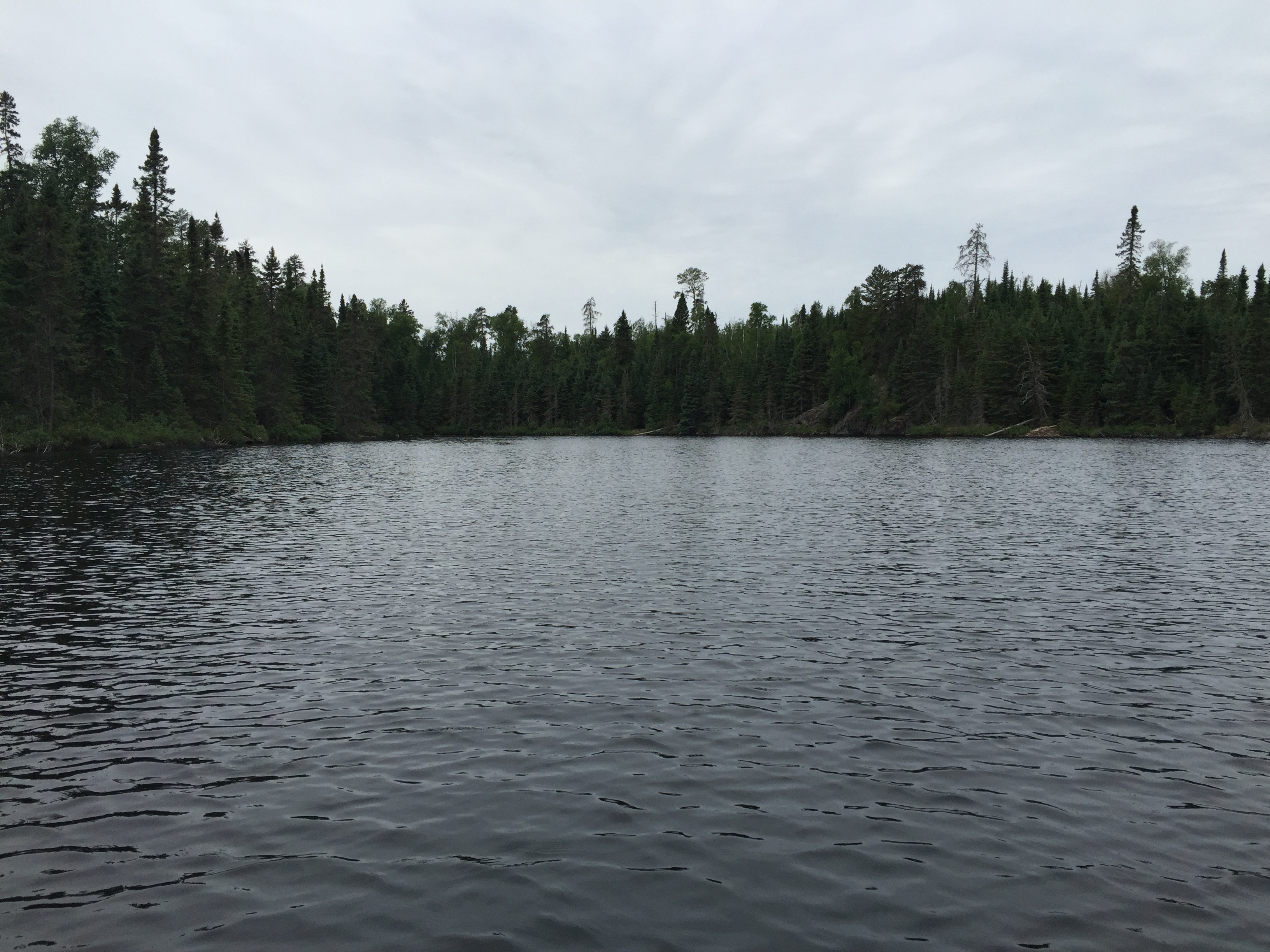
Approaching the Hubbub Lake portage. The portage location is just slightly right of the center of your view.
You are now on the west end of Copper Lake and looking east from the Hubbub Lake portage. Along the north shore to your left, you can just make out the cliff where the copper mine was located (just right of center). Portage to Hubbub Lake -or- Explore Another Route ***********************************************END OF ROUTE***********************************************