Sedative Lake
Have not yet visited this Primitive Management Area lake. The information displayed on this page are notes used for planning a future trip to this area. Use the information on this page at your own risk.
You reach Sedative Lake by portaging around or through the small rapids below the beaver dam where the creek flows out of the lake. This lake is large for a PMA body of water and the depth is sufficient to seemingly provide descent habitat for fish. Fish finder picked up quite a few fish, many displaying good size. The lake is divided into an upper and lower half by a shallow, narrow channel that was filled with lily pads. The best fishing seemed to be indicated in the northern half of the lake. There was a large beaver lodge on the right side of the channel as you paddle toward the upper portion of the lake.
There is a single unmaintained campsite in the northern side of the lake, on the obvious point. Unusual for a PMA lake, this campsite still contained the fire grate. Most of these grates have been removed by the U.S. Forest Service.
There are two U.S. Geological Survey benchmarks established on Sedative Lake. Benchmark #1 is a spike embedded in a 20 inch diameter white pine tree, 5 feet from the edge of the lake, on a small point on the southwest shore of the large northeastern part of the lake (around the corner and north up the shore from the campsite). This benchmark is 5.5 feet above the water survey elevation (WSE) level. Benchmark #2 is implanted at the top of a large, sharp-pointed boulder in the water, about three feet from the shoreline. It is at the end of the obvious point on the northwest side of the channel that connects the upper and lower halves of the lake. The WSE is 3.6 feet below the benchmark #2 marker (at least it was when these benchmarks were placed). These benchmarks have been here since September 7, 1972.
What is a Primitive Management Area (PMA)?
Approach to Sedative Lake
Click on the photos below to see the full resolution image - Use your browsers back button to close photo and return to this page.
The entire approach to Sedative Lake is first through Reflection Lake and then up (Sedative) Creek, which connects the two lakes.
Bushwhack to Sedative Lake
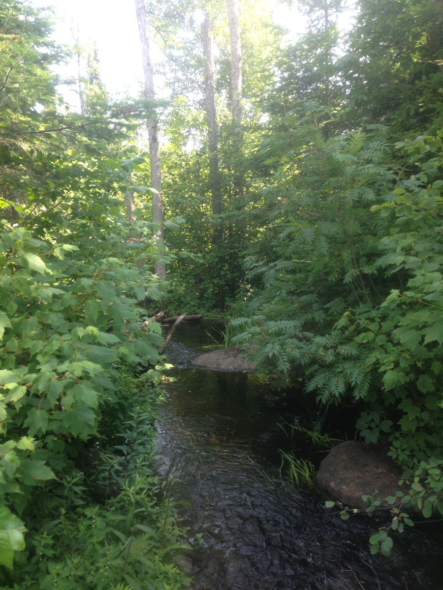
The bushwhack along the remains of a previously maintained portage follows the left side of the creek. You can find the trail back in the brush, just to the left of these little rapids.
Following the fairly good trail along (Sedative) Creek to Sedative Lake. This trail runs from "The Grotto" up to the edge of the lake, just below a large beaver dam.
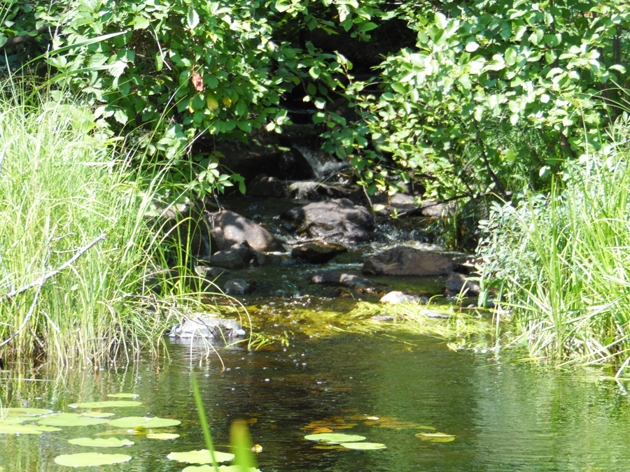
This is the pretty little creek that flows out of Sedative Lake; unofficial name of (Sedative) Creek. The creek is shallow enough for you to walk in, with a rocky bottom. The stream flows into the "grotto" about 200 feet downstream from the Sedative Lake beaver dam. From there the creek flows through a peat bog all the way to Reflection Lake.
View while standing in the creek just below the beaver dam over which the creek flows from Sedative Lake. Beaver dam is huge, maybe four to five feet high.
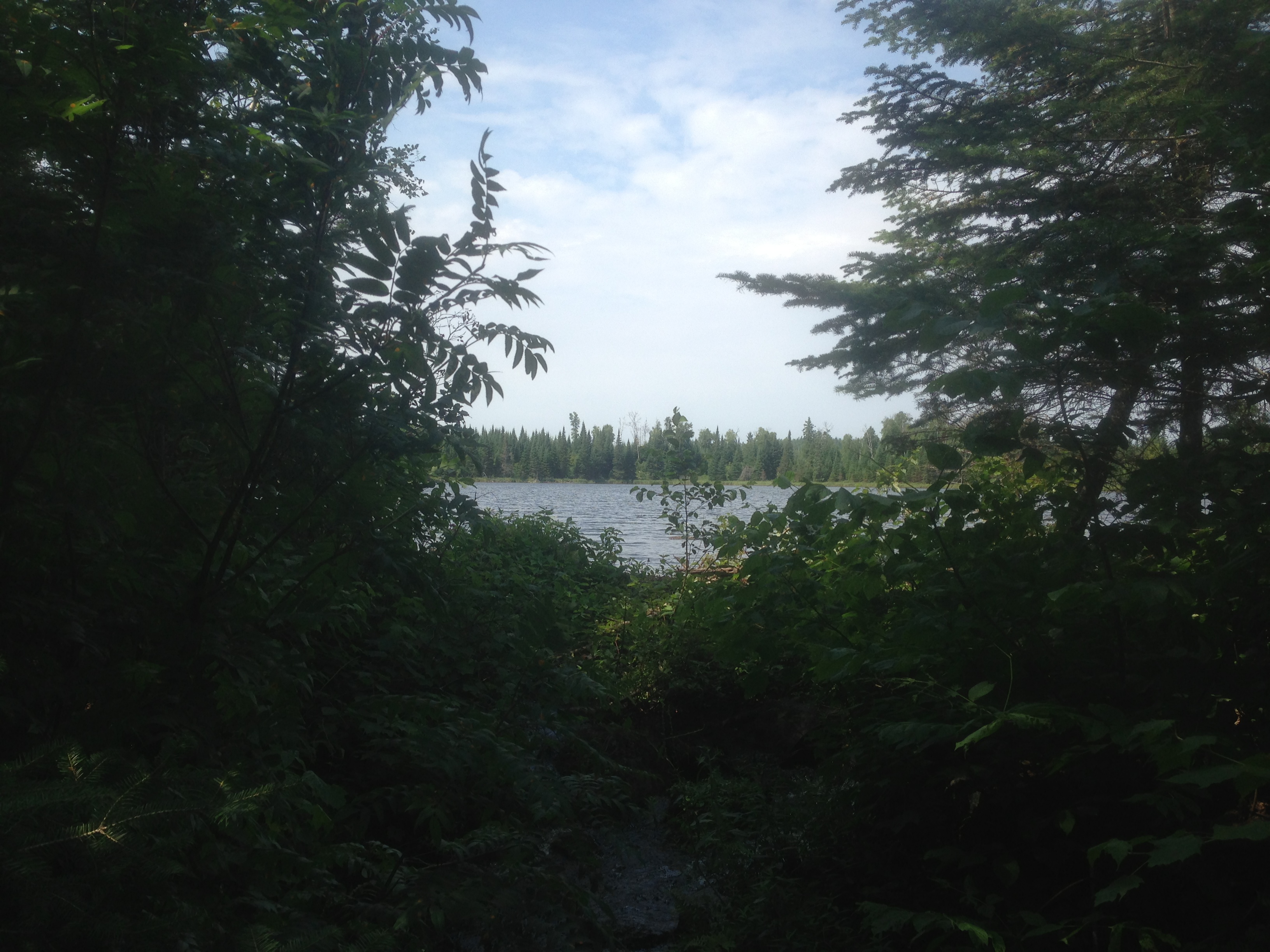
Peering over the beaver dam from the end of the bushwhack at Sedative Lake. This beaver dam has been here for a fairly long time, as it has small trees growing out of it.
Exploring Sedative Lake
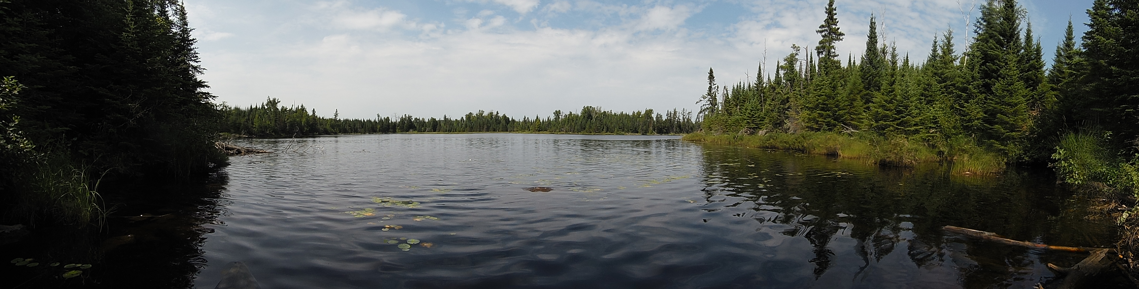
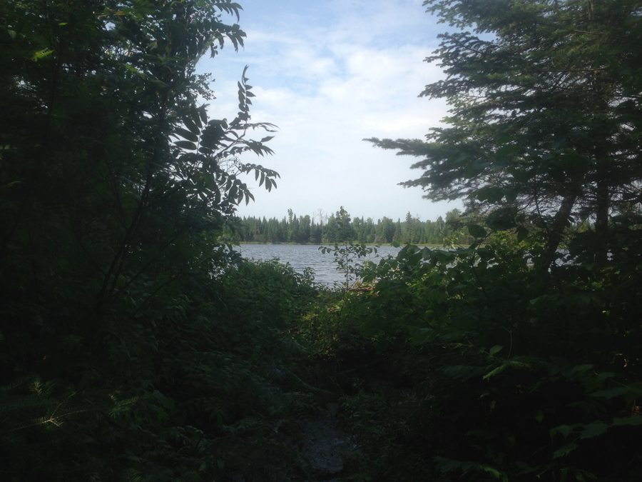
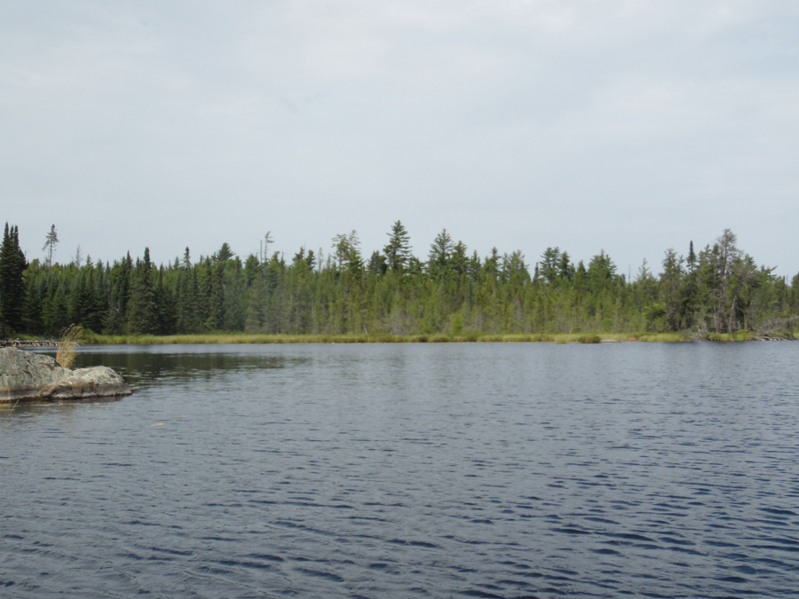
View of south bay of the lower part of Sedative Lake. This is from the end of the bushwhack by the beaver dam.
Sedative Lake where the lake narrows. The narrows separates the upper and lower halves of the lake. You can see this section is shallow, choked with lily pads and heavily patrolled by beavers.
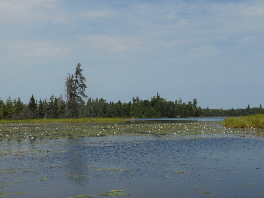
The lily pad covered channel that separates the two parts of Sedative Lake. This view is from the entrance to the lower part of the lake, looking into the upper half of the lake.
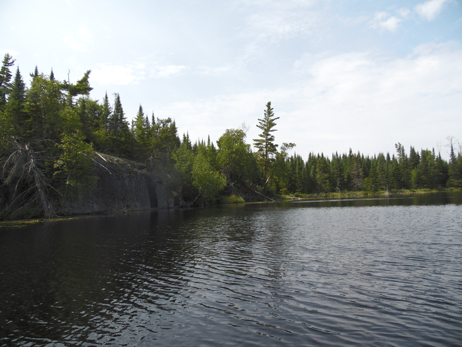
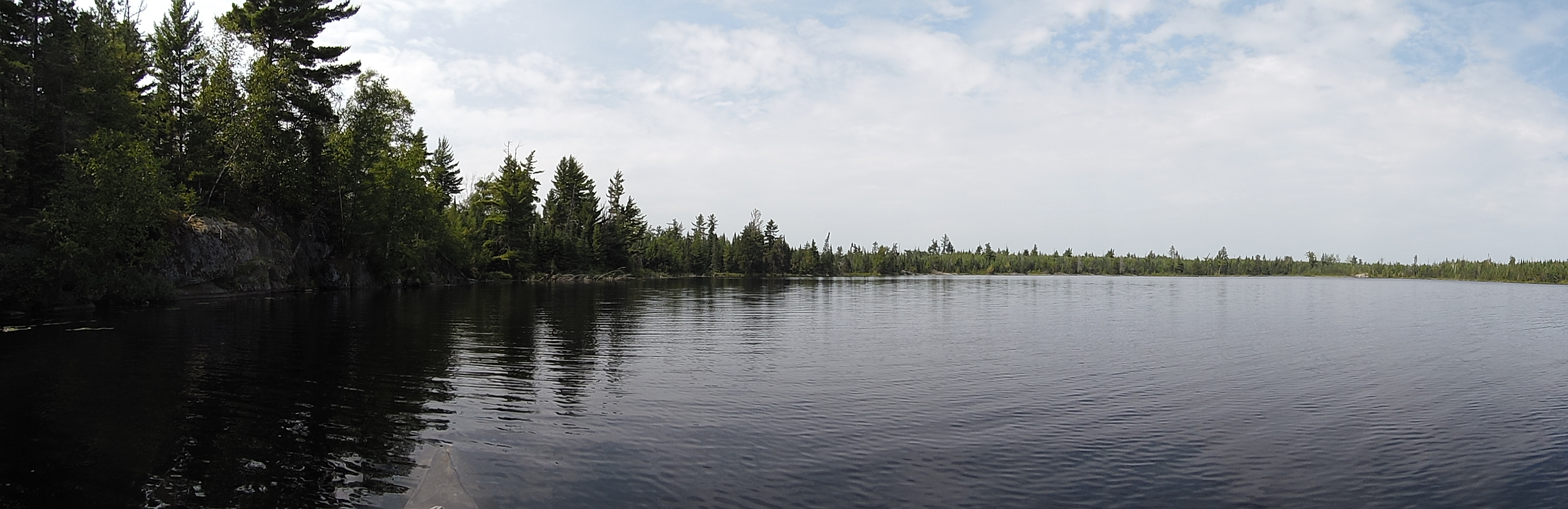
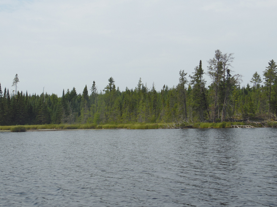
Western shoreline of the lower part of Sedative Lake. One of the few rock outcroppings seen along the shore of the lake.
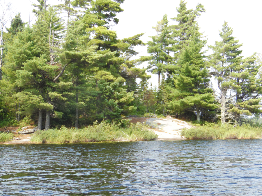
An old campsite on the north point in the upper part of Sedative Lake.
Walking around the campsite on the point. This site even retains its fire grate.

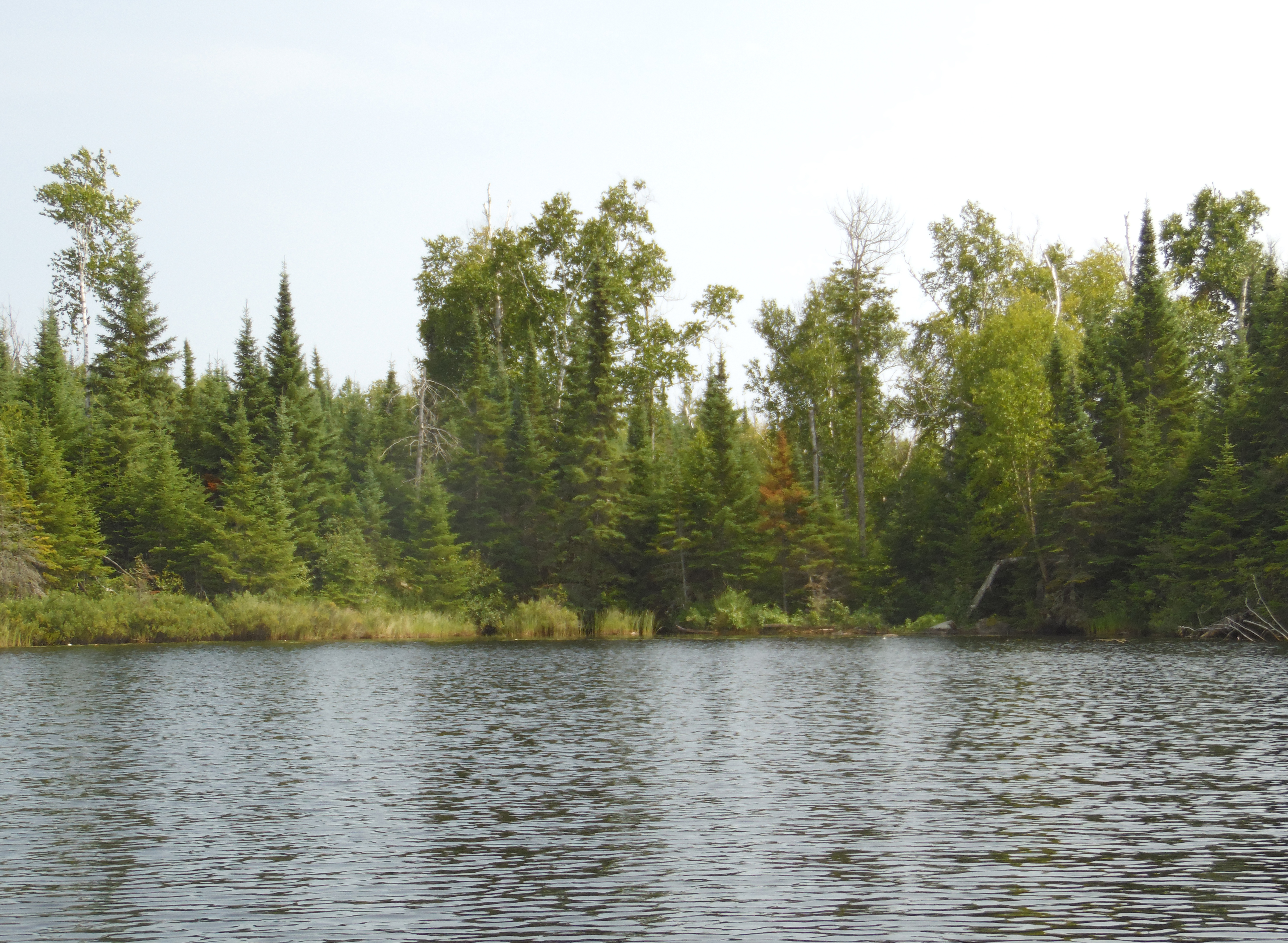
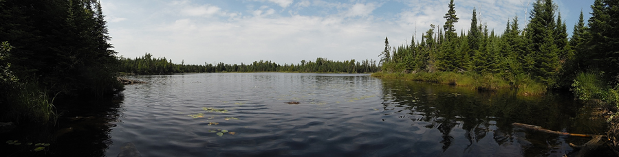
This is the north end of Sedative Lake as you'll see it after your round the point where the campsite is located. This is the deepest and most open part of the lake.
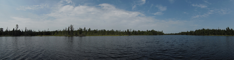
Looking all the way across the lake at its north shoreline. This view is from near the point.
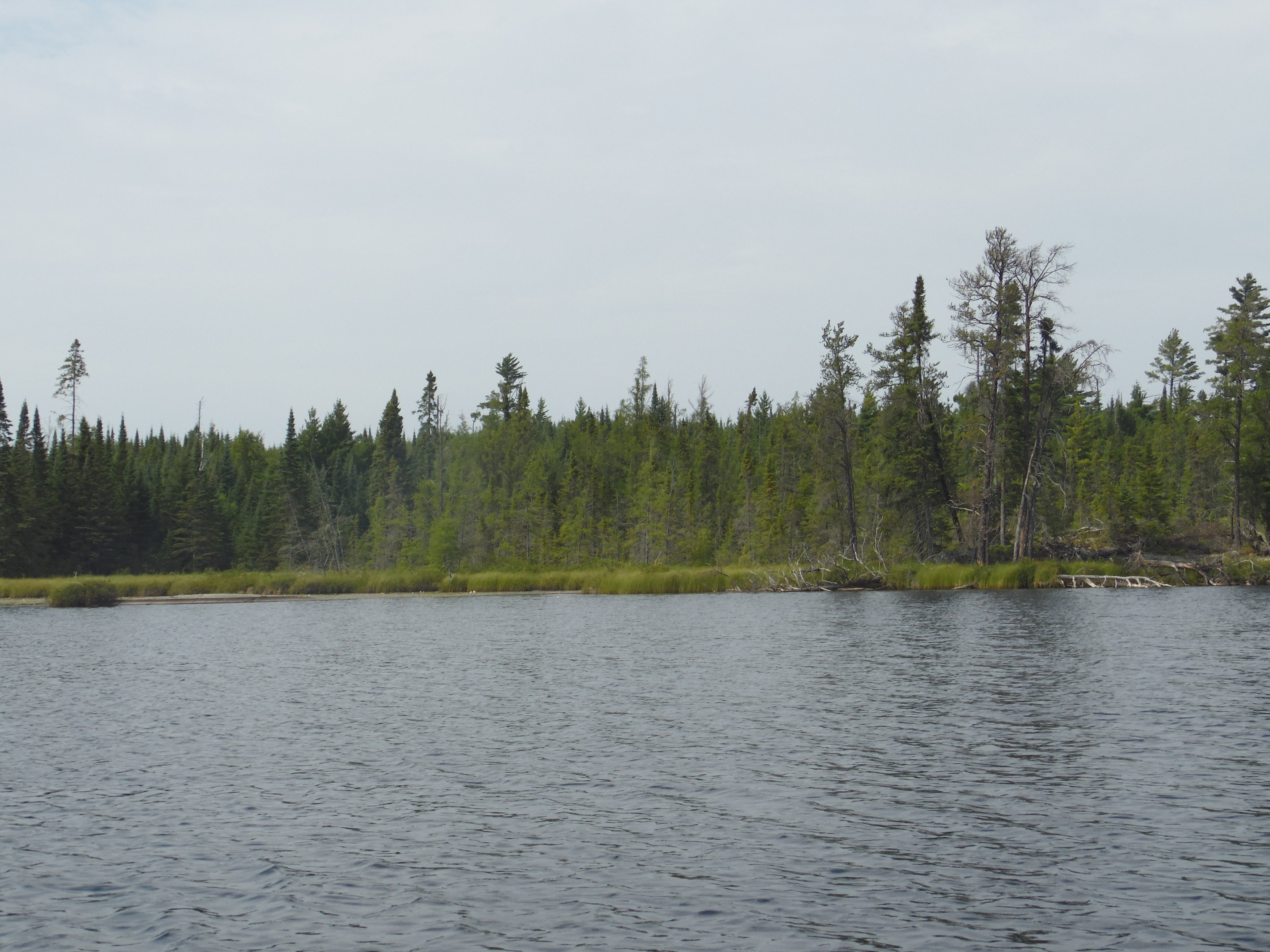
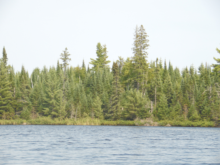
Close up view of the north shoreline of the northern half of Sedative Lake.
Eastern shoreline of the upper part of Sedative Lake.
Western shoreline of the upper part of Sedative Lake.

This is the location of the bushwhack back into (Sedative) Creek as seen from out on the lake. The start of the bushwhack is to the right of the beaver dam near that leaning log. That log is itself just a bit right of the center of your view.
|