River Length: From its source at Kiowa Lake (just south of Crystal Lake) at about 1850 feet, the Crocodile River flows west through several lakes before draining into East Bearskin Lake at an elevation of 1702 feet. The river than flows west through several more lakes, including Alder Lake and Pine Lake before reaching its mouth a John Lake where it flows into the Royal River. The Crocodile River is a tributary of the Royal River. Total length is about 23 miles (including the lakes through which it flows).
Campsites: 0
Wildlife Seen on Visit: Gray wolves
Last Visited: October 17, 2023;
Previous Visit(s): October 3, 2022, August 21, 2022
River Elevation: Headwaters at Kiowa Lake at an elevation of about 1850 feet. Mouth at John Lake at an elevation of 1464 feet. 586 feet of elevation loss over it's course.
Water Clarity: N/A
ROUTES/PORTAGES FROM THE CROCODILE RIVER:
To Parsnip Lake: Walk the 110 rod portage
To Crocodile Lake: Walk the 20 rod portage There are also many portages connecting the lakes that the river flows through, but they are not shown here.
Crocodile River
Gunflint Ranger District
Starting at it's source at Kiowa Lake, the Crocodile River flows through a total of nine lakes until it reaches it's mouth at John Lake which is part of the Royal River system. Most of the rivers length is actually through lakes. Major lakes it flows through are Crocodile Lake, East Bearskin Lake, Alder Lake and Pine Lake. The river is probably called the Crocodile River because it looks like the tail of the crocodile-shaped Crocodile Lake. The river flows into the eastern end of that lake, right where a tail would be expected.
Only two short sections of this river are navigable in a canoe. These are: Between the Parsnip Lake portage and Crocodile Lake and the short section between Canoe Lake and Paddle Lake. The get glimpses of the rest of the river as you paddle the BWCA lakes through which it flows.
The description below will describe/show the river as you would follow it downstream. Some sections are missing and will be added in the future.
Exploring the Crocodile River (heading downstream)
Click on the photos below to see the full resolution image - Use your browsers back button to close photo and return to this page.
The Crocodile River flows out of the west end of Kiowa Lake as a small stream. It picks up two small tributary creeks that flow out of Parsnip Lake and Melon Lake respectively. There is a portage located here between the two tributaries that connects the Crocodile River and Parsnip Lake. This portage is 1.5-miles downstream from Kiowa Lake.
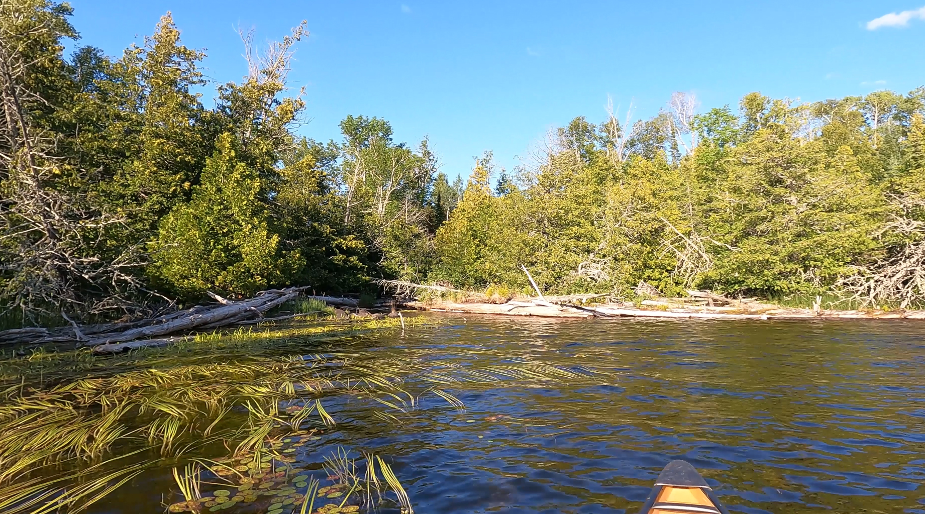
The Crocodile River flows about 0.6-miles west until it empties into the east end of long Crocodile Lake, named for its shape resembling that creature. The Crocodile River forms a tail of it that stretches eastward. The video shows this stretch of the river. A pack of wolves was seen along the south side of the river (the wolves are seen in the video between the 9:05 and 9:50 mark).
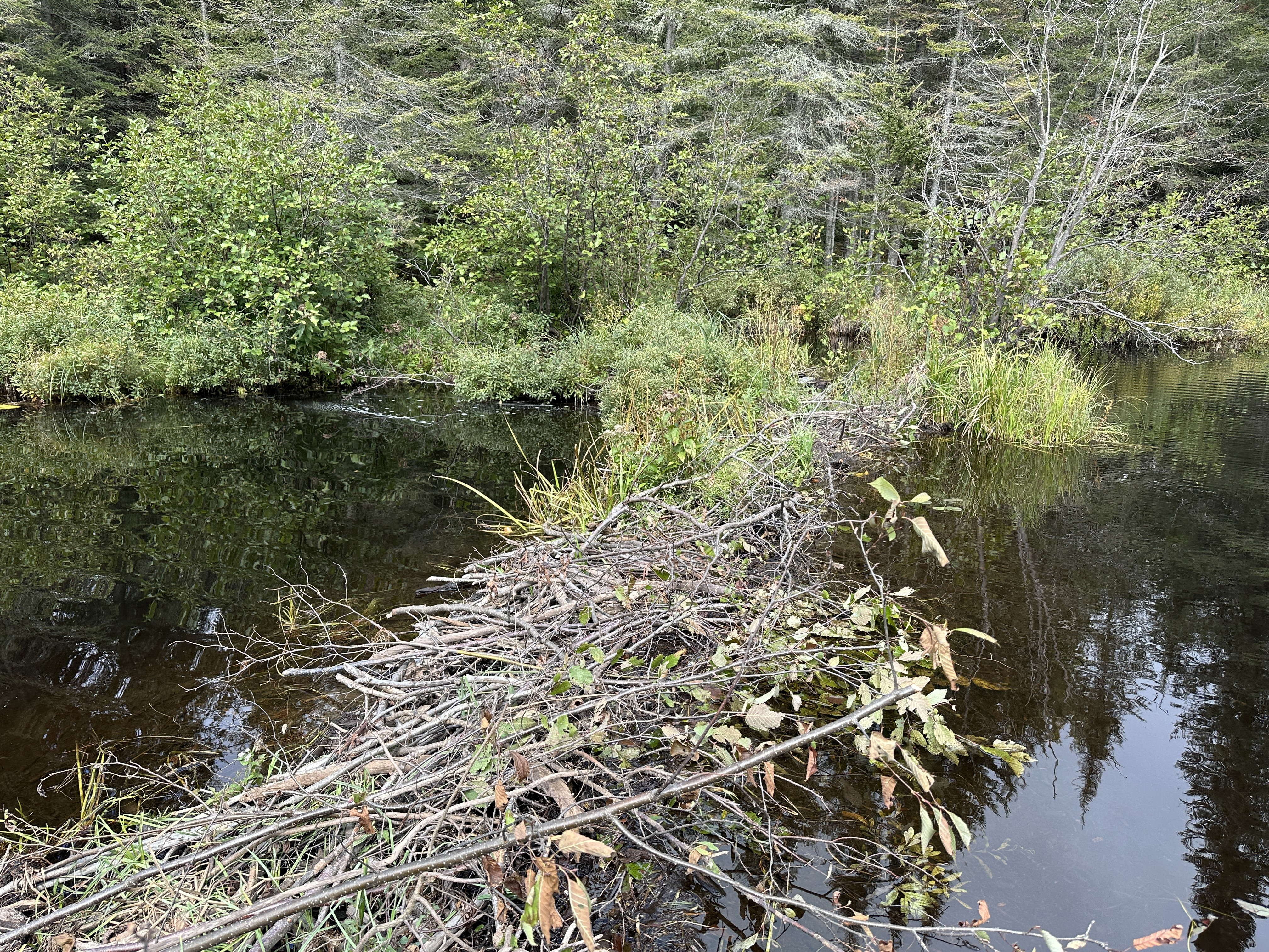
Beaver dam just upstream of the eastern end of Crocodile Lake.
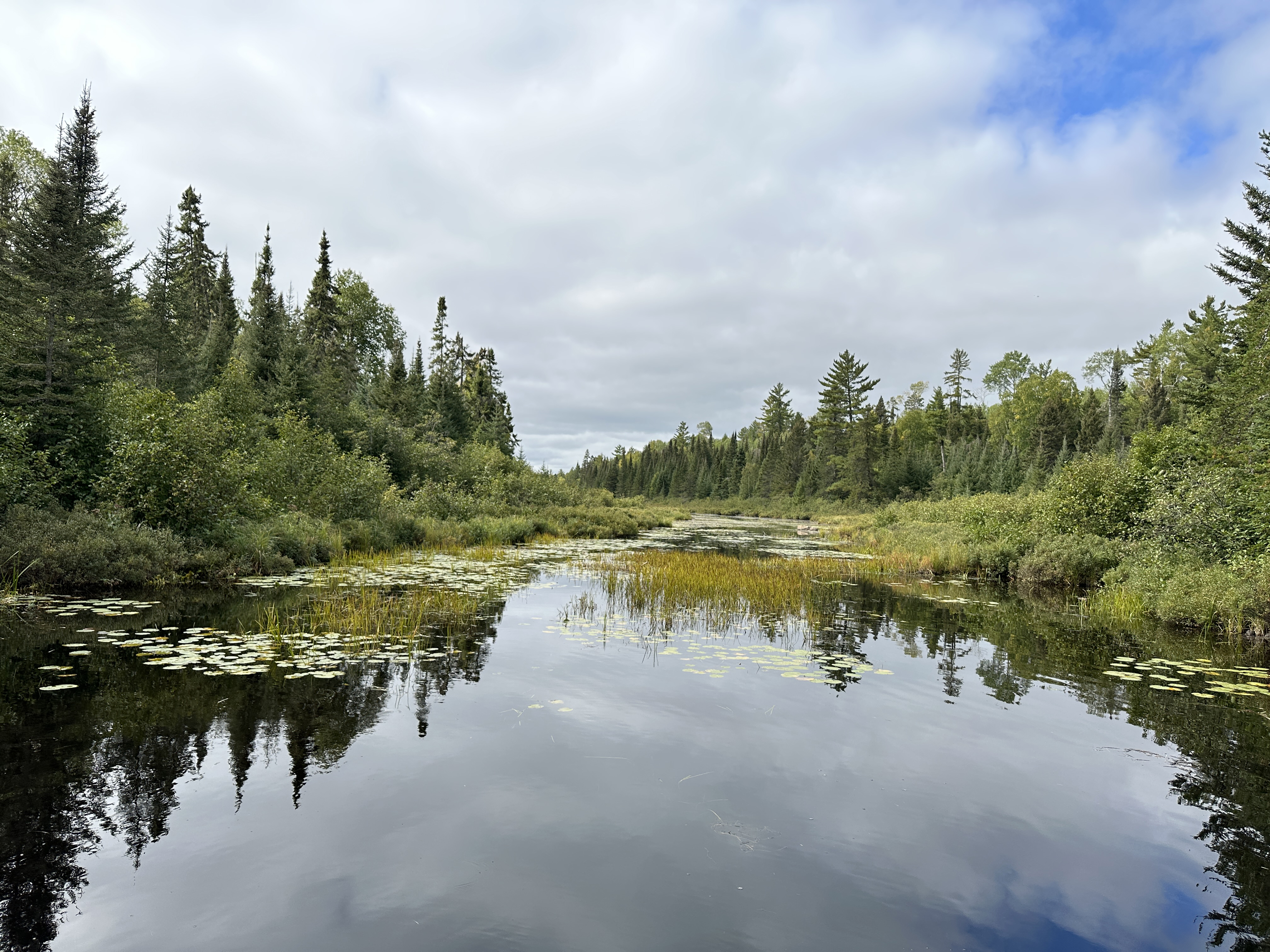
View downstream from the beaver dam above.
(Video shows the long paddle down Crocodile Lake.) For about the next 3.5-miles, the river flows through Crocodile Lake to the west. Just a few feet west of the the portage between East Bearskin Lake and Crocodile Lake, the Crocodile River begins a steep decent for a total of 97 feet before emptying into East Bearskin Lake between BWCA Campsite 697 and the portage.
This beautiful set of rapids and small waterfall between Crocodile Lake and East Bearskin Lake. To access this area, follow the trail up behind BWCA Campsite 697.
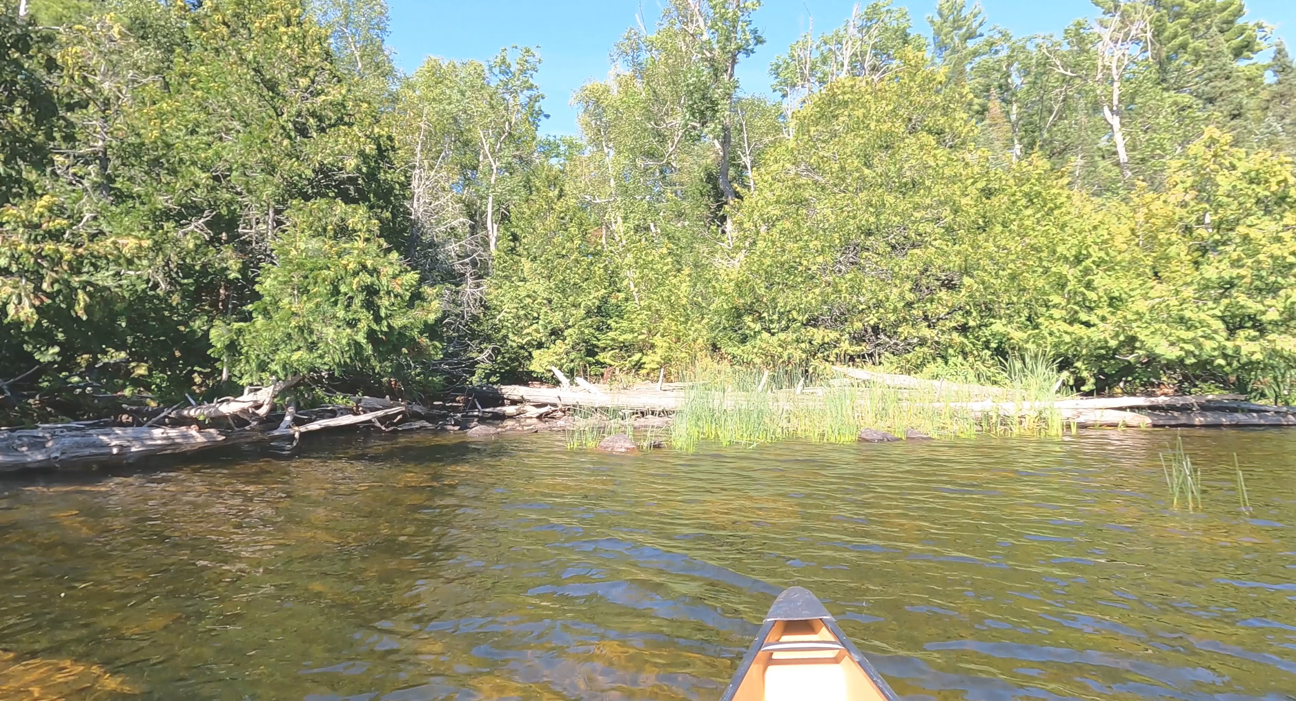
The Crocodile River flows into East Bearskin Lake here.
The Crocodile River flows into East Bearskin Lake here.
From here, to keep following the river, paddle through East Bearskin Lake to near the eastern end of it's southern arm. Here you will find the portage to Alder Lake. The Crocodile River is visible here, just to the right of the portage.
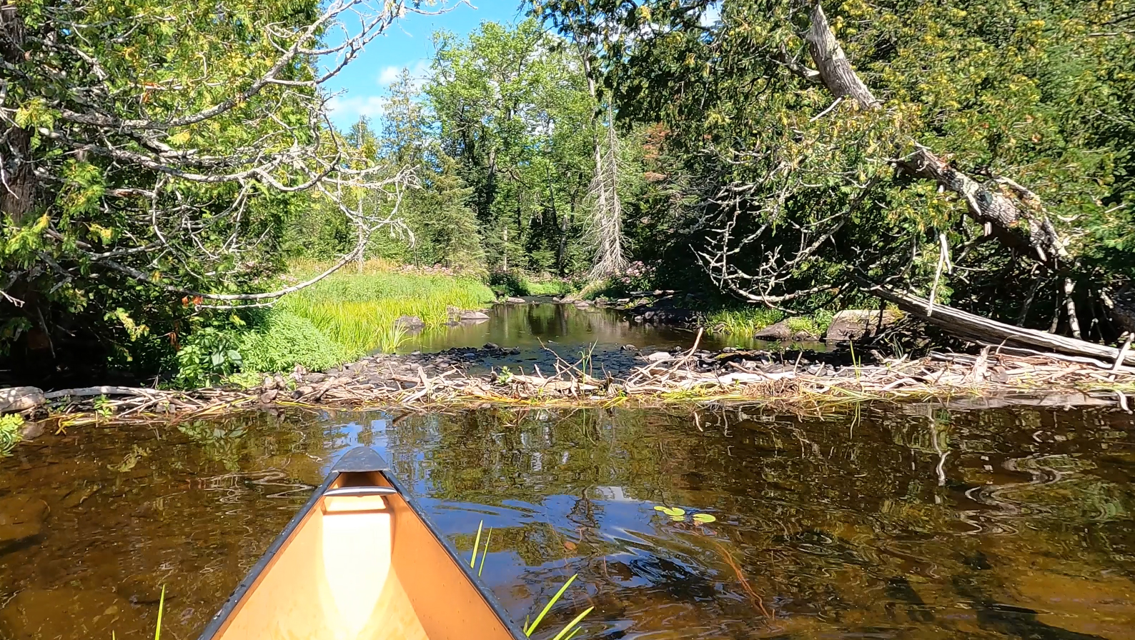
Just west of the portage to Alder Lake at the eastern end of the south arm of East Bearskin Lake, the Crocodile River flows out of the lake over this small beaver dam.
The Crocodile River flows through Alder Lake until it flows out just to the east of the Canoe Lake portage.
Crocodile River flows out of Alder Lake just a hundred feet or so east of the Canoe Lake portage.
Now on Canoe Lake, shortly after leaving the Alder Lake portage you can see where the river flows into the lake.
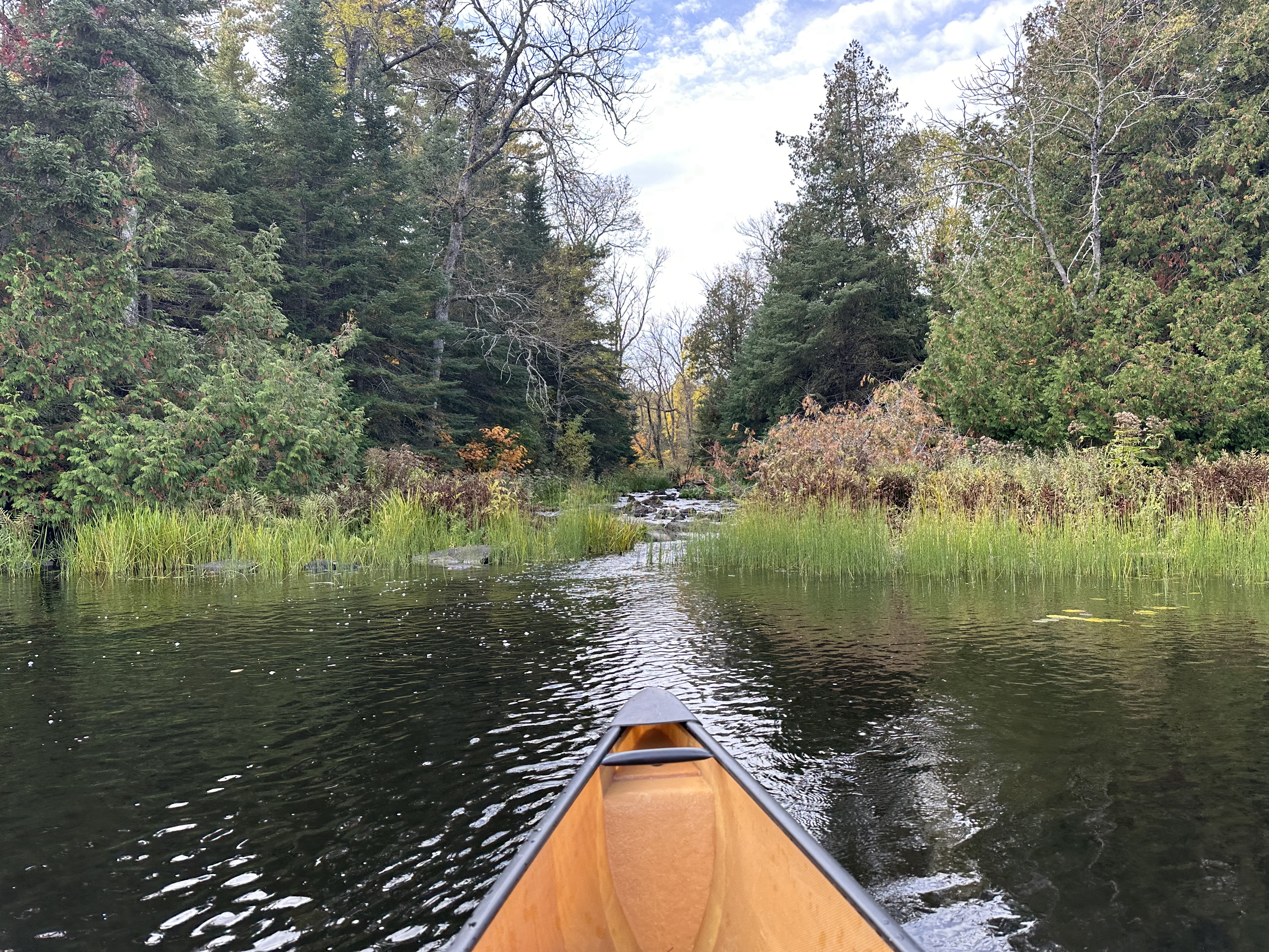
Enjoyable section of river between Canoe Lake downstream to Paddle Lake.
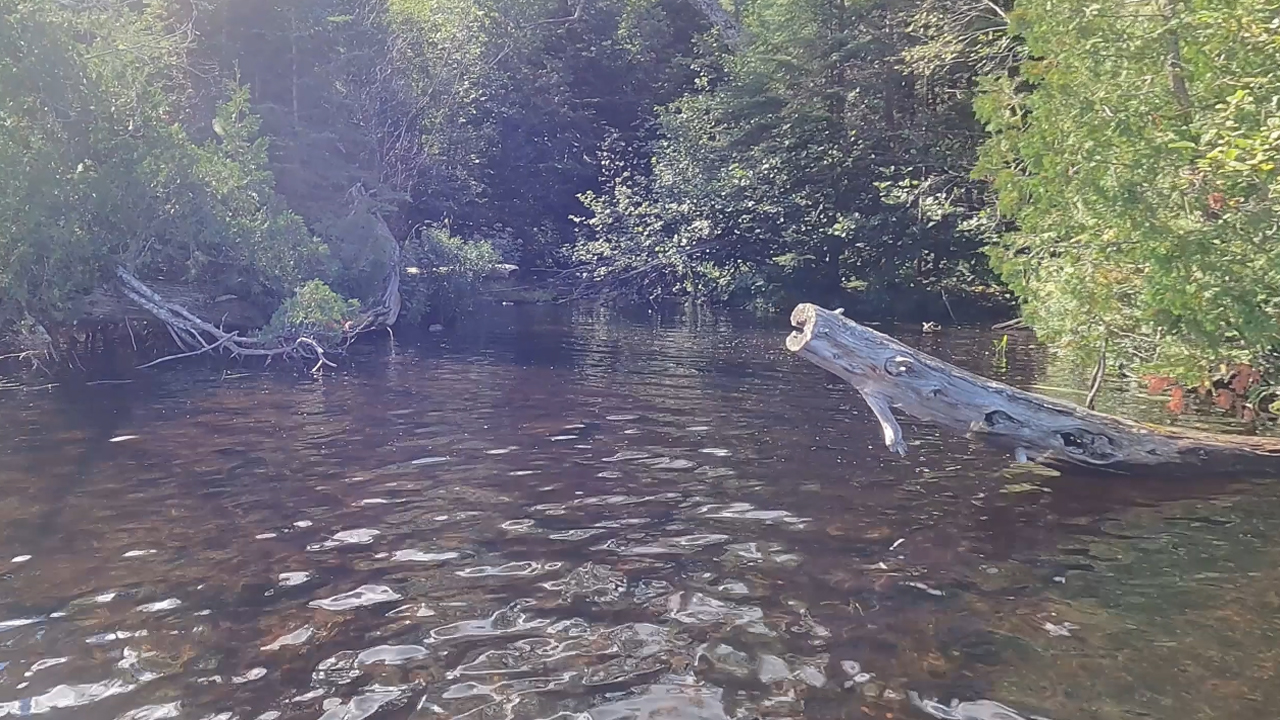
Crocodile River flows out of the northeast corner of Paddle Lake through this log jam.
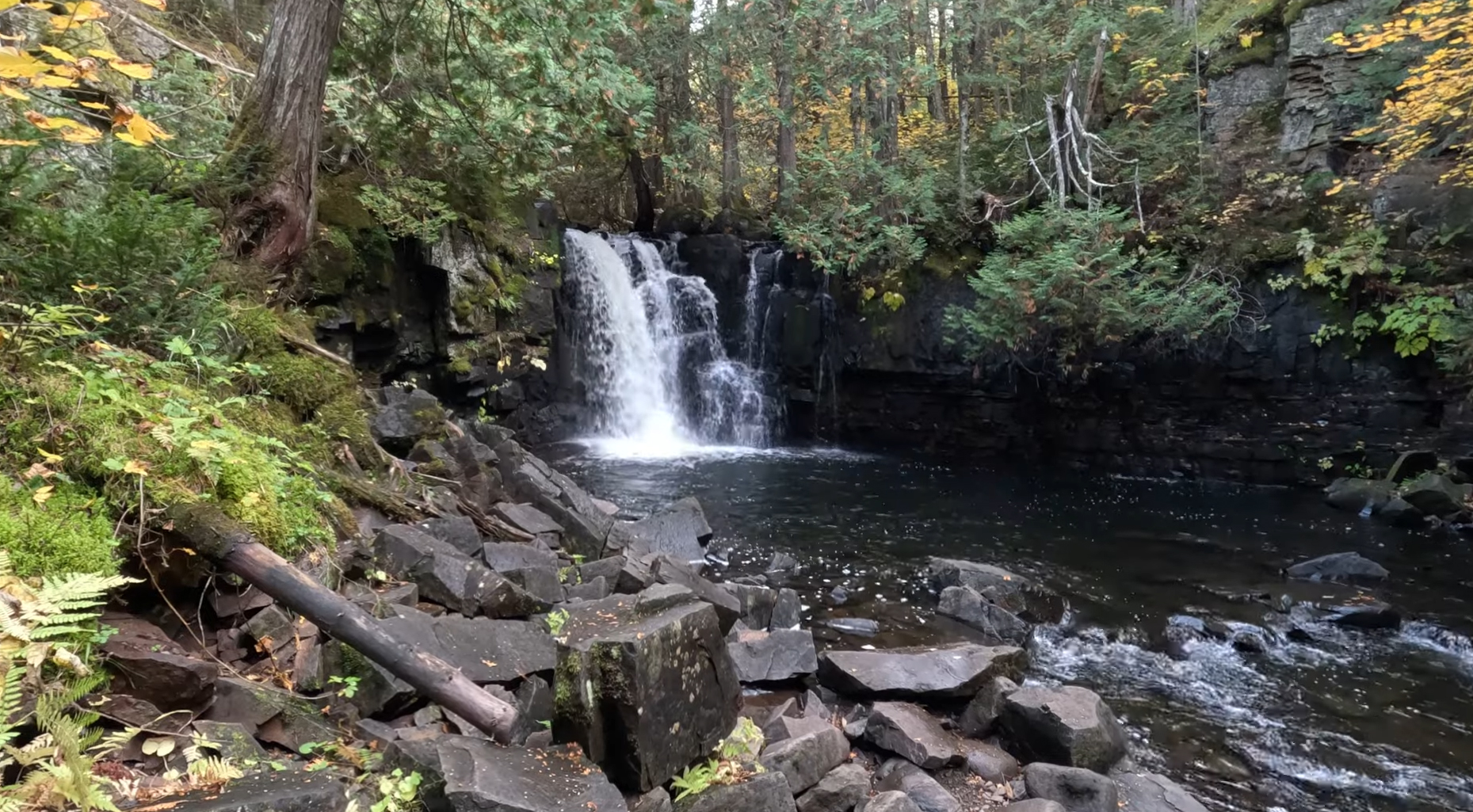
Soon after flowing out of Paddle Lake, the Crocodile River picks up a small tributary creek flowing out of Rocky Lake a short distance to the west. The river than passes through some wetlands before tumbling over Upper Johnson Falls.
Upper Johnson Falls.
There are two distinct waterfalls. Here is Lower Johnson Falls. Visit the Johnson Falls Trail page if you want to see more of this section of the river, including video of the waterfalls.
The river doesn't flow far after Lower Johnson Falls before reaching the west end of Pine Lake. The Crocodile River flows through Pine Lake, then through McFarland Lake and finally Little John Lake before ending at its mouth on John Lake (which is actually part of the Royal River).