McFarland Lake
Gunflint Ranger District
McFarland Lake is part of the Crocodile River system. The Crocodile River flows through Pine Lake to the west into McFarland Lake. From there it flows to the north out of the eastern end of McFarland Lake into Little John Lake.
The north shoreline of McFarland Lake is relatively well developed with a couple dozen lake homes and cabins.
The McFarland Lake Campground is on the east end of the lake. This is also the location of the public water accesses for the three entry points in this area (BWCA Entry Point 68 - Pine Lake, BWCA Entry Point 69 - John Lake and BWCA Entry Point 70 - North Fowl Lake. BWCA Entry Point 83 - Border Route Trail (East) is also located here.
From the entry point landing on McFarland Lake, it's about a 2.5-mile paddle to the short portage into Pine Lake. There is also an unmaintained portage between McFarland Lake and East Pike Lake. This is a tough portage. It has a very steep climb and often some blowdown to impede your progress.
Exploring McFarland Lake
Routes to locations on McFarland Lake are shown below:
No routes defined yet.
Click on the photos below to see the full resolution image - Use your browsers back button to close photo and return to this page.
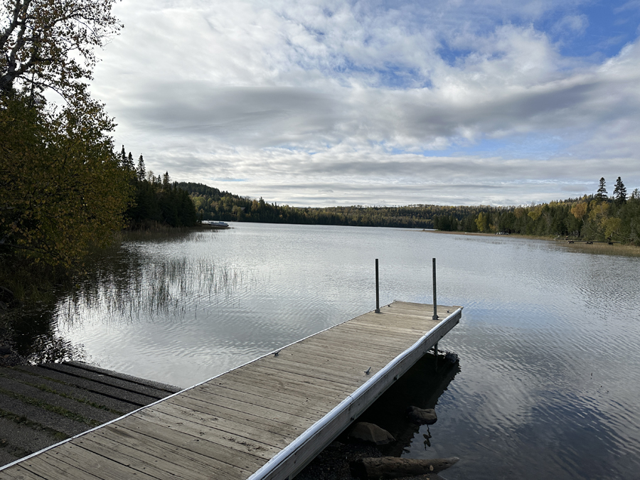
McFarland Lake from the entry point landing in the McFarland Lake Campground.
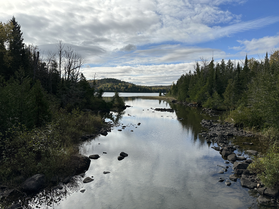
View of McFarland Lake from the bridge over the river between Little John Lake and McFarland Lake. This river is actually the Crocodile River.
Route Connections for McFarland Lake
From McFarland Lake, you can take the short portage to Pine Lake. There is also a difficult and unmaintained portage to East Pike Lake. BWCA Entry Point 68 is located near the east end of McFarland Lake. McFarland Lake is also connected to the Crocodile River.
Return to Top of Page
|


