Last Visited: September 3, 2023;
Previous Visit(s): August 12, 2023, July 3, 2022, May 27, 2021, August 22, 2015
Maps: Fisher F-6 and F-12; McKenzie #21 or #3
Daily Quota:
For Entry Point #41 = 7;
For Entry Point #42 = 0;
Quota is 7 for both entry points combined
Fire History:
Nearest Ranger Station: Tofte Ranger Station, Tofte, MN along Hwy. 61 on the North Shore
Portage Length from Parking Lot: 0 rods
Restroom at Entry Point: Yes
Entry Point 41 - Brule Lake
Tofte Ranger District
The parking lot for this entry point is at the end of the road after you pass the Homer Lake Entry Point and the start of Brule Lake Trail which is about a quarter mile down the road from this parking lot. This parking lot is also shared by those hiking the Brule Lake Trail. These are the entry points served by this parking lot: 41, 42 (Brule Lake only) and 78 (Brule Lake Trail).
In Lutsen, turn off of Minnesota Highway 61 onto County Road 4 (Caribou Trail). Follow the Caribou Trail for 17 miles (first 7 miles are paved) until you reach The Grade (aka Forest Road 153). Take a left here and go 1.5 miles west to Brule Lake Road (Forest road 326). Turn right. It is 5 miles to the Brule Lake entry point (4 miles to the Homer Lake entry point).
Use caution when traveling across this big lake. When the wind is strong, this lake can really get rolling. Brule Lake is the largest lake entirely in the BWCA that does not allow motorboats.
A nice loop route is to go from the Brule Lake entry point to the Homer Lake entry point. It is just a short walk down the road (about a mile) from Homer Lake back to the entry point here on Brule Lake. Brule Lake also offers many other route options to the west, north and east.
A route to the east follows the South Brule River downstream. Going this way you'll visit Vernon Lake and Swan Lake.
A modest route to the north of Brule Lake encompasses a loop starting at Lily Lake, going north to Winchell Lake and Davis Lake and then coming back down to Brule Lake via the Cone Lakes. You could do this loop in the opposite direction too.
Heading west, you can explore the Temperance River drainage which includes North Temperance Lake and South Temperance Lake. Also popular Cherokee Lake is easily reachable in a day from this entry point.
This location of this entry point was originally the site of a large logging operation run by the General Logging Company. This company was working in this area in the late 1920's and the 1930's. A log hoist was located where the existing entry point is today.
You can drive right up to the edge of the lake to unload your canoe and gear. There is no portage necessary to get to the lake at this entry point. The landing is very smooth and made of fine gravel. The water is shallow and it is a very nice place to launch a canoe. The parking lot is fairly large. This parking lot also serves the Brule Lake Trail (entry point #78) parking requirements.
Exploring the Entry Point
Click on the photos below to see the full resolution image - Use your browsers back button to close photo and return to this page.
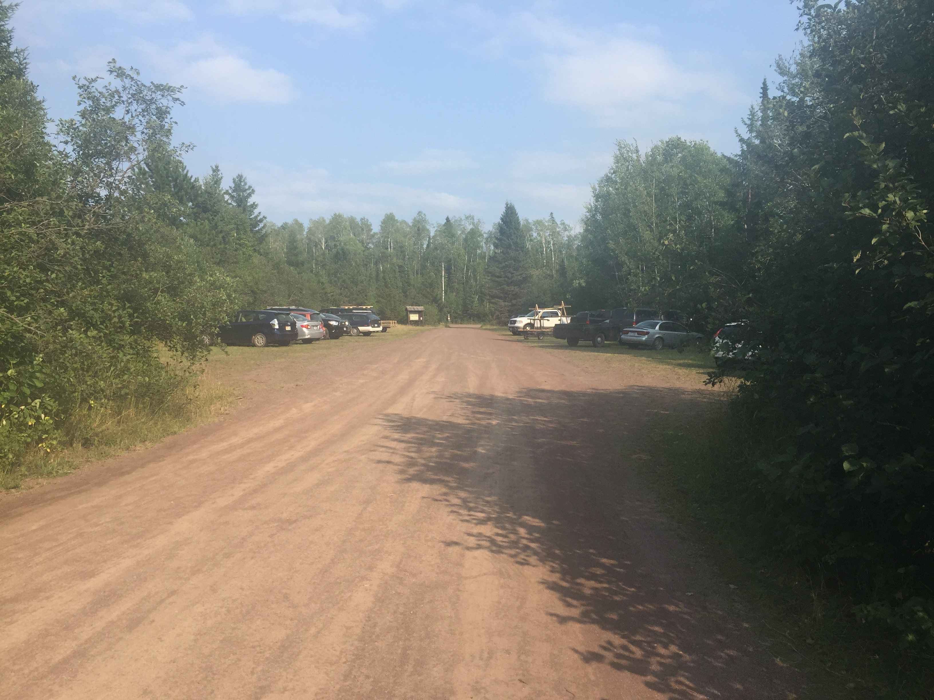
The Brule Lake entry point is found at the very end of the Brule Lake Road. Its parking lot is also used by hikers/backpackers using the Brule Lake Trail.
The parking lot at Brule Lake (May 27, 2021).
The parking lot from the other direction. The lake is behind you from this vantage point (August 22, 2015).
Video tour of this entry point (July 3, 2022).
Older video footage of this entry point (May 27, 2021).
Older footage of the entry point (August 22, 2015).
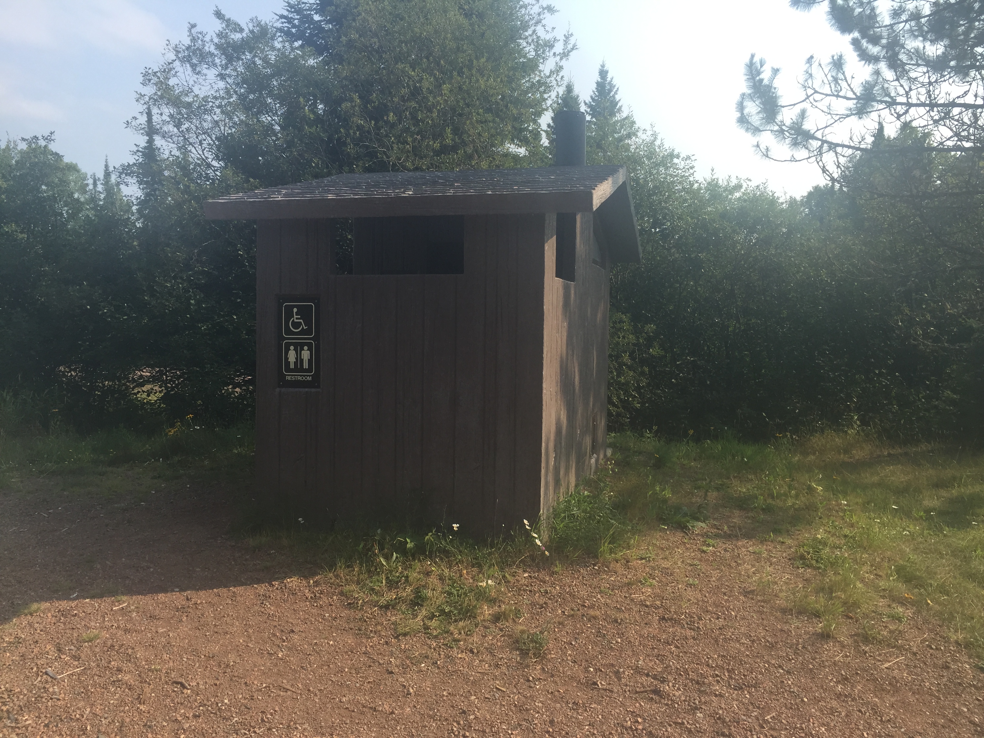
You will not find a more retched hive of scum and...be cautious. It was a warm day (August 22, 2015).
The biffy as seen in the spring. Not as retched or villainous with the cooler temperatures (May 27, 2021).
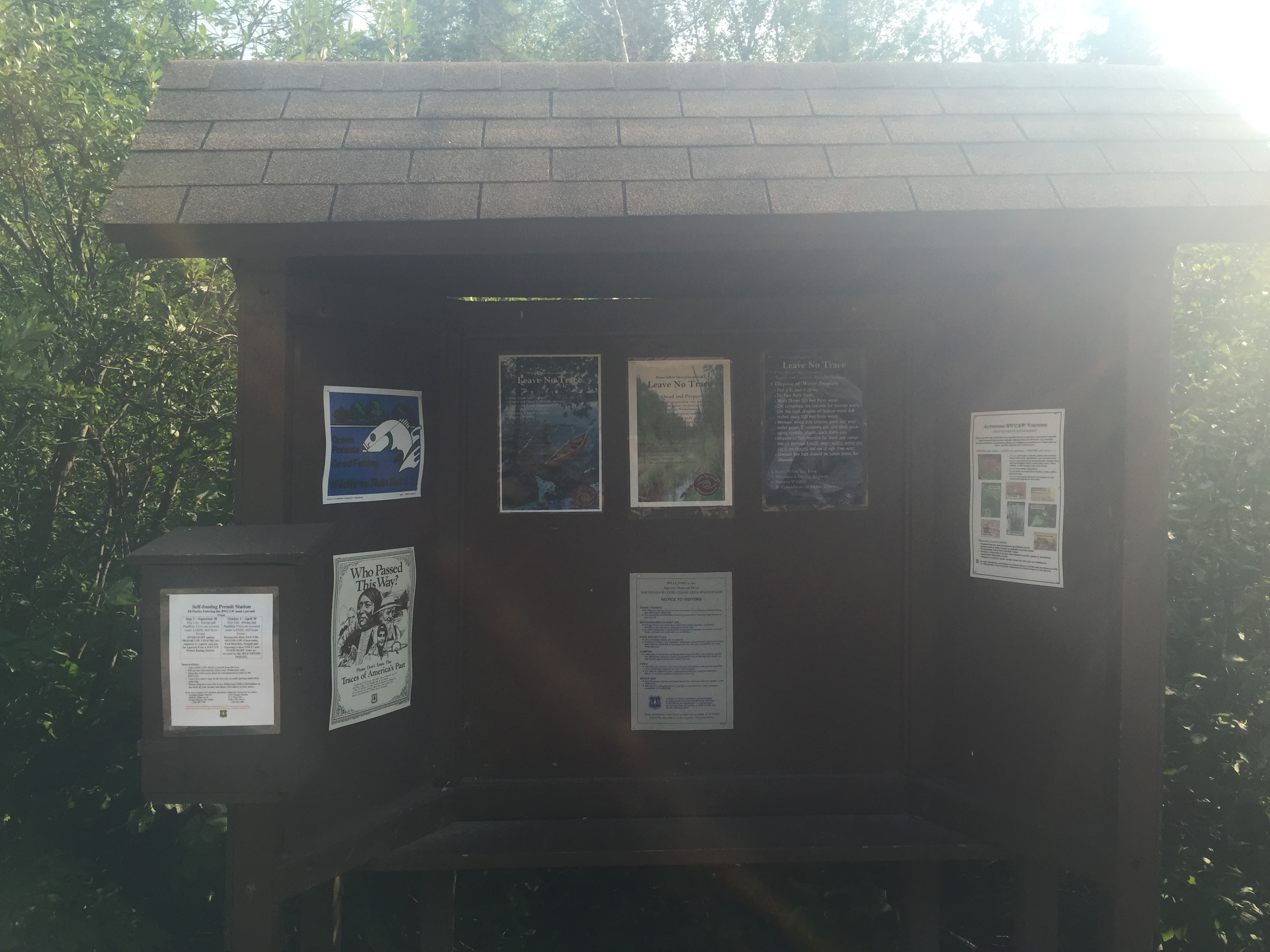
Bulletin board at Brule Lake Entry Point 41. There is a different bulletin board for the Brule Lake Trail, which is Entry Point 78 on the other side of the parking lot (August 12, 2023).
Same bulletin board a couple years before (May 27, 2021).
This old bulletin board has been replaced (August 22, 2015).
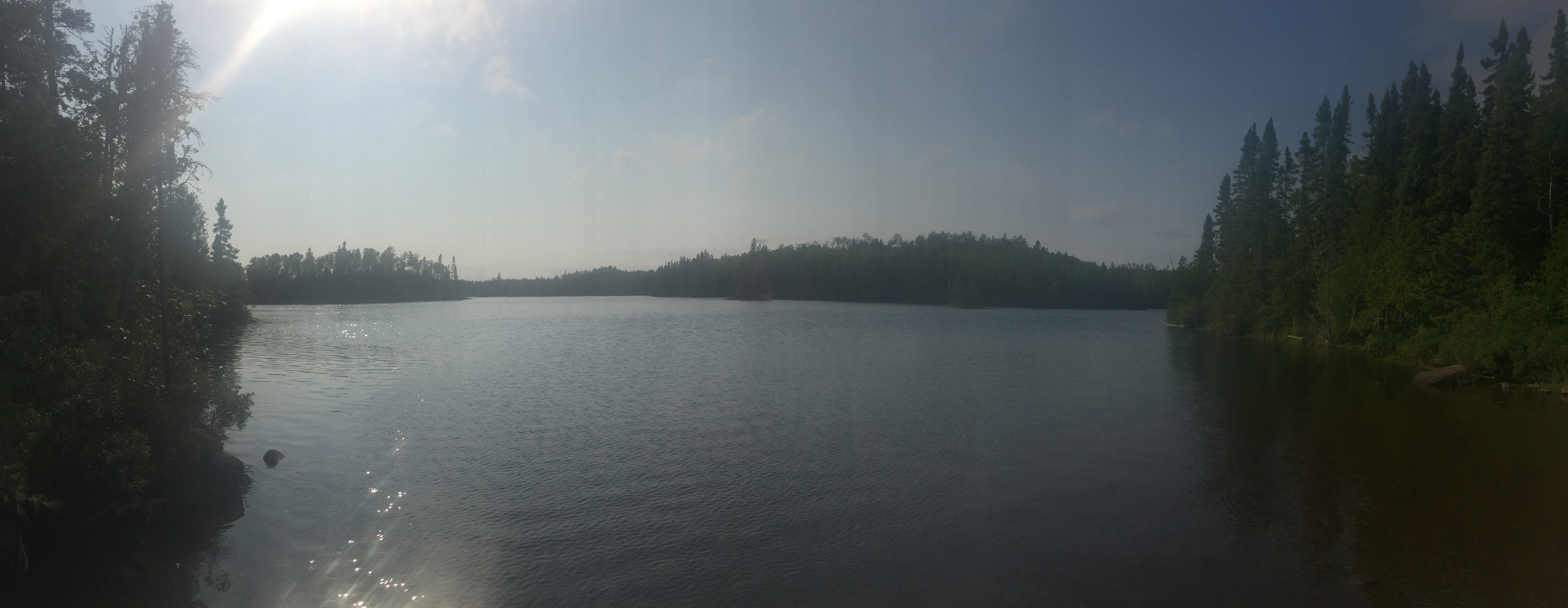
The small bay where the Brule Lake entry point is located. This is a huge lake. Take care traveling on this lake when the wind is strong. Motors are not allowed on this lake (August 22, 2015).
Brule Lake from the entry point landing (May 27, 2021).
View towards the northwest (right) from the landing. This is the direction you will typically paddle if leaving this entry point (August 12, 2023).
View towards the southwest (left) from the landing (August 12, 2023).
About an hour after sunset. This image is from the north side of Jock Mock Point looking west. Jock Mock Point is about 2 1/2 miles paddle west of the entry point landing (August 12, 2023).
Now that you've reached the shore of the lake, visit:BRULE LAKE