BINGSHICK LAKE CAMPSITES: Campsite 1 (#495): Easternmost campsite on this lake. Accessible from the Kekekabic Trail Campsite 2 (#494): Westernmost campsite on this lake. Accessible from the Kekekabic Trail
The name of this lake is taken from the Ojibwe word of "Pingoshag", which means "sand fly". Some older topographic maps of this area refer to this lake as "Bingoshick" Lake.
Bingshick Lake doesn't see a lot of visitors. The portages through this area receive minimal maintenance and beavers have caused flooding of some of these paths. Those passing through here often come for the brook trout fishing. The Minnesota Department of Natural Resources stocks the lake on a regular basis with this species.
Besides the brook trout fishing, another reason to come this way is if you can't find the portage from Fay Lake to Flying Lake shown on most maps. (Hint: It is very difficult to find since the Fay Lake end of the portage is flooded by beaver activity). The other way to get from Fay Lake to Flying Lake is to portage from Fay Lake to Glee Lake, then Glee Lake to Bingshick Lake, then Bingshick Lake to the Chub River and then portage a final time into Flying Lake. The two short portages along the Chub River between Flying Lake and Bingshick Lake are nasty little buggers. Whatever way you decide to go, it won't be a picnic, but you will likely have the place to yourself since not a lot of paddlers come this way.
There is an unmaintained portage to Honker Lake. Honker Lake is a dead end lake with no fish in it, but it is accessible.
The Kekekabic Trail runs along the entire north shoreline of Bingshick Lake. It crosses the short unmaintained portage between Honker Lake and Bingshick Lake. Note that the two campsites on Bingshick Lake are also accessible to hikers of the Kekekabic Trail. Since the Kek sees light traffic, there is a good chance these campsites will be available.
The water in Bingshick Lake flows south from near the middle of the lake into the Chub River at the Chub River portage. This is the way to go to Flying Lake. In fact, the portage and the river were one in the same (as of 2020), which makes things more interesting. The portage is basically a waterfall that you portage down. A creek coming from Mine Lake to the east feeds Bingshick Lake. This creek flows into the very eastern end of Bingshick Lake.
Nearly the entire forest around Bingshick Lake was burnt by the 2004 Cavity Lake Fire.
Click on the photos below to see the full resolution image - Use your browsers back button to close photo and return to this page.
PADDLING FROM THE GLEE LAKE PORTAGE TO THE CHUB RIVER PORTAGE
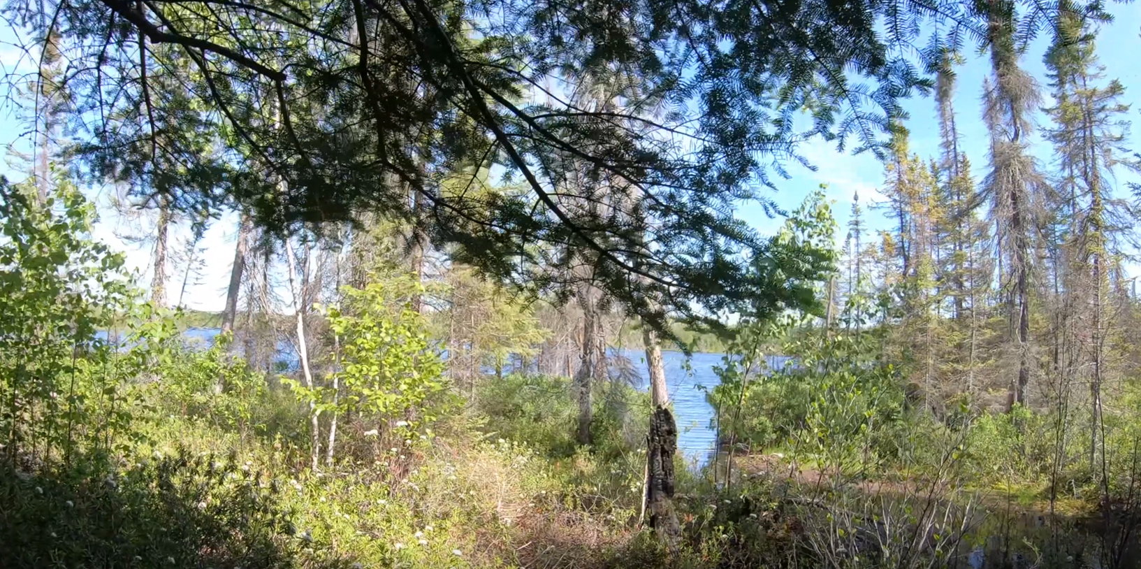
Peeking through the forest from the portage landing to glimpse Bingshick Lake. You follow the small channel visible to the right out into the main lake from the portage landing. Navigating this short channel will likely require you to liftover some deadfall and a few rocks.
(Unfortunately camera settings accidentally got switched to the TimeWarp setting, so this video is a series of several hundred photos taken in rapid succession. Just pause the video if you want to see a still frame.) From the Glee Lake portage, paddle eastward along the southern shore of Bingshick Lake to the Chub River portage.
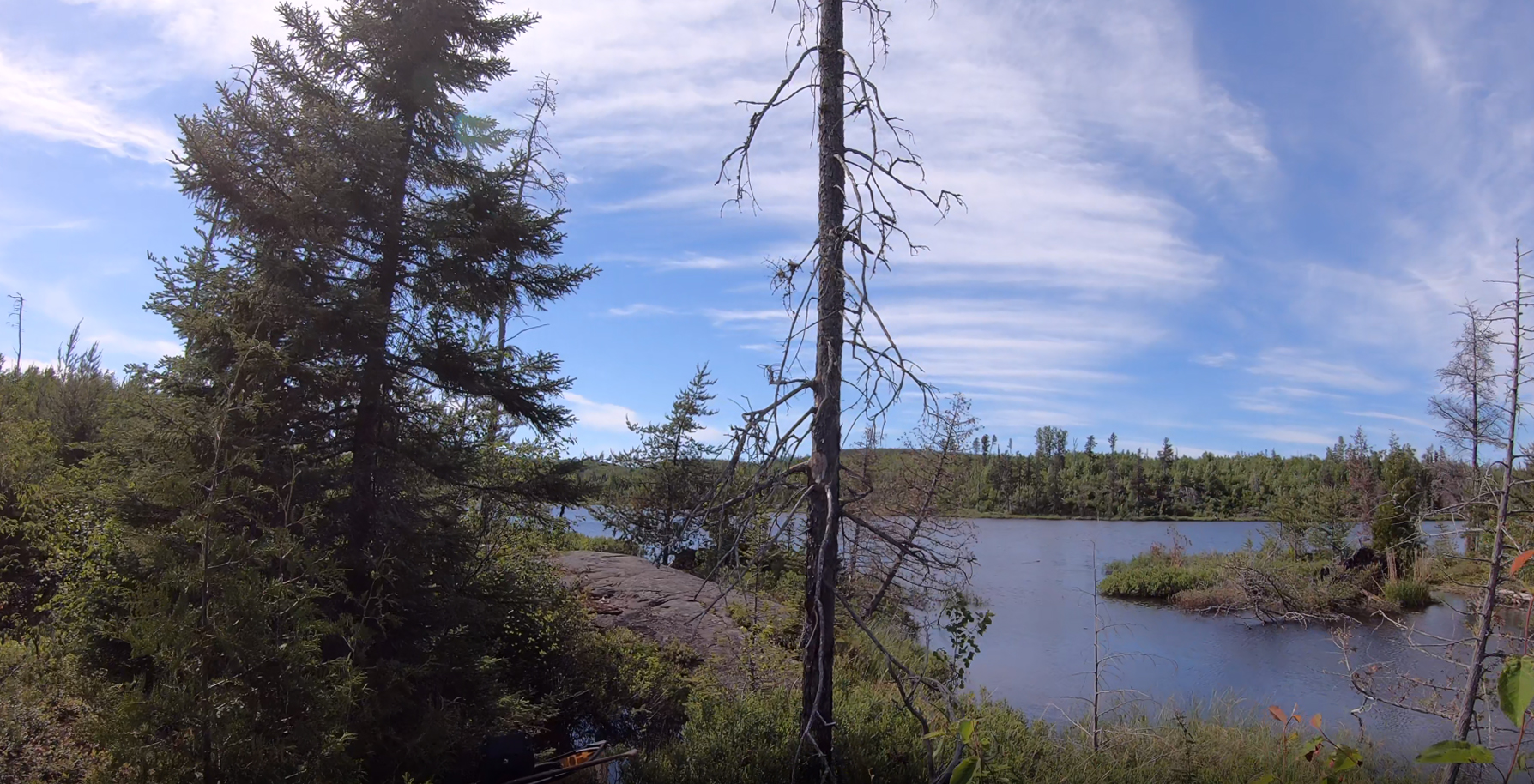
View of Bingshick Lake from the Chub River portage. Here your view is to the north/northwest. Portage to the Chub River -or- Explore Another Route **********************************************END OF ROUTE***********************************************
PHOTOS OF BINGSHICK LAKE FROM THE KEKEKABIC TRAIL
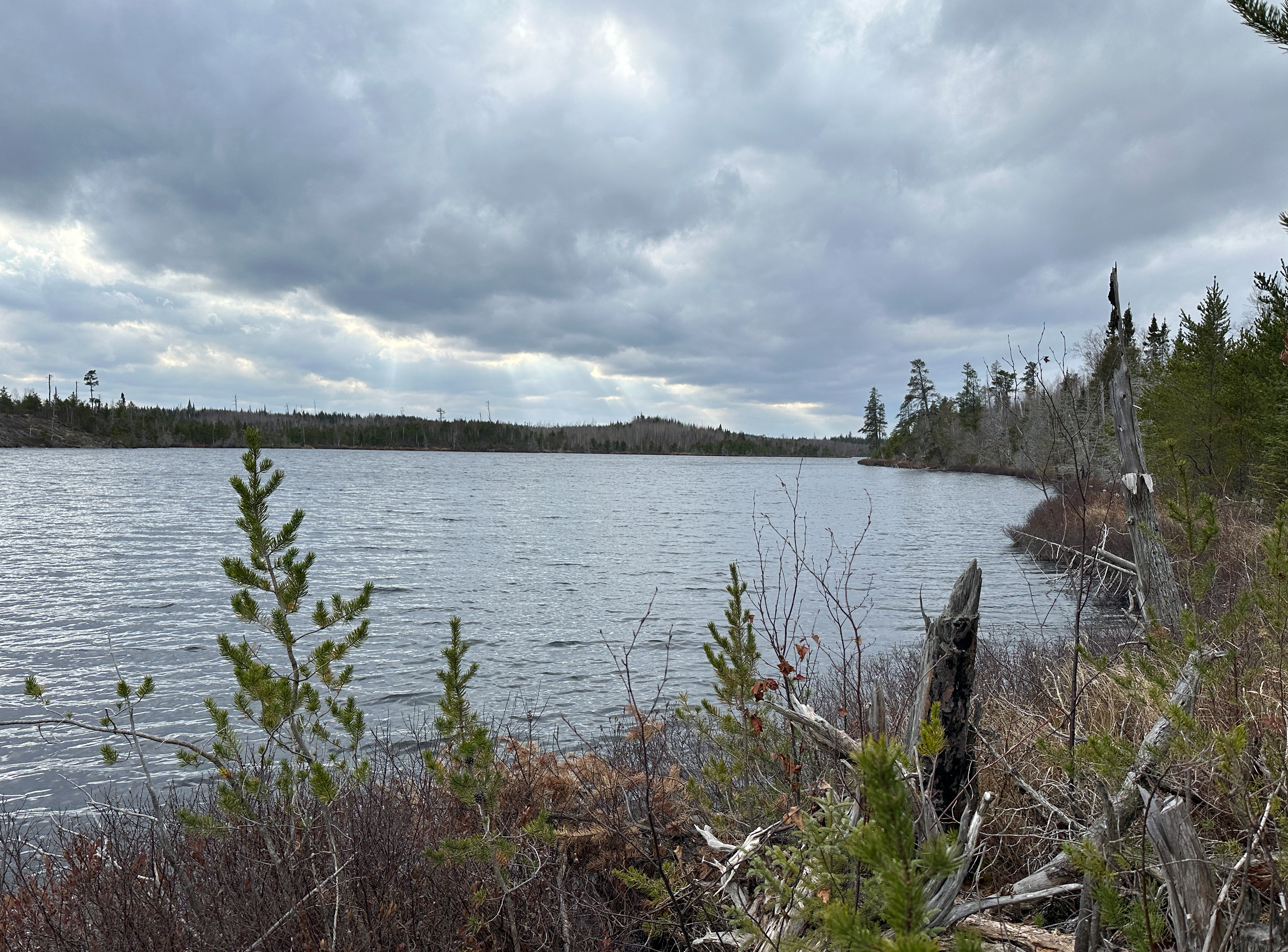
In this image the view is to the south/southwest from BWCA Campsite 495.
Looking southwest from BWCA Campsite 494.
Route Connections for Bingshick Lake
From Bingshick Lake you can portage into the Chub River, Glee Lake or Honker Lake. The portage to Glee Lake is a stinker. The portage to the Chub River is short, steeply downhill and IN (depending on water levels) a small creek. And the portage to Honker Lake isn't maintained.