Glee Lake is a crossroads of sorts. It connects to three other lakes: Elusion Lake to the north, Fay Lake to the south and Bingshick Lake to the east.
There are no gamefish in this lake and it is only 8 feet deep. There are no campsites either. So you will probably just paddle through this lake.
This lake seems to be somewhat landlocked, although it may have a small outlet stream into Fay Lake. The outlet is on the west side of the portage to Fay Lake. The entire shoreline was burned in 2006 by the Cavity Lake Fire. A few intermittent patches of old growth forest dot the shoreline in places. A hill rises about 200 feet above the north side of the lake making for a scenic backdrop.
References:
Beymer, Robert, Boundary Waters Canoe Area – Volume 2 – Eastern Region (Berkeley: Wilderness Press, 2006), 156.
Pauly, Daniel, Exploring the Boundary Waters (Minneapolis: University of Minnesota Press, 2005), 333.
Click on the photos below to see the full resolution image - Use your browsers back button to close photo and return to this page.
PADDLING FROM THE FAY LAKE PORTAGE TO THE BINGSHICK LAKE PORTAGE
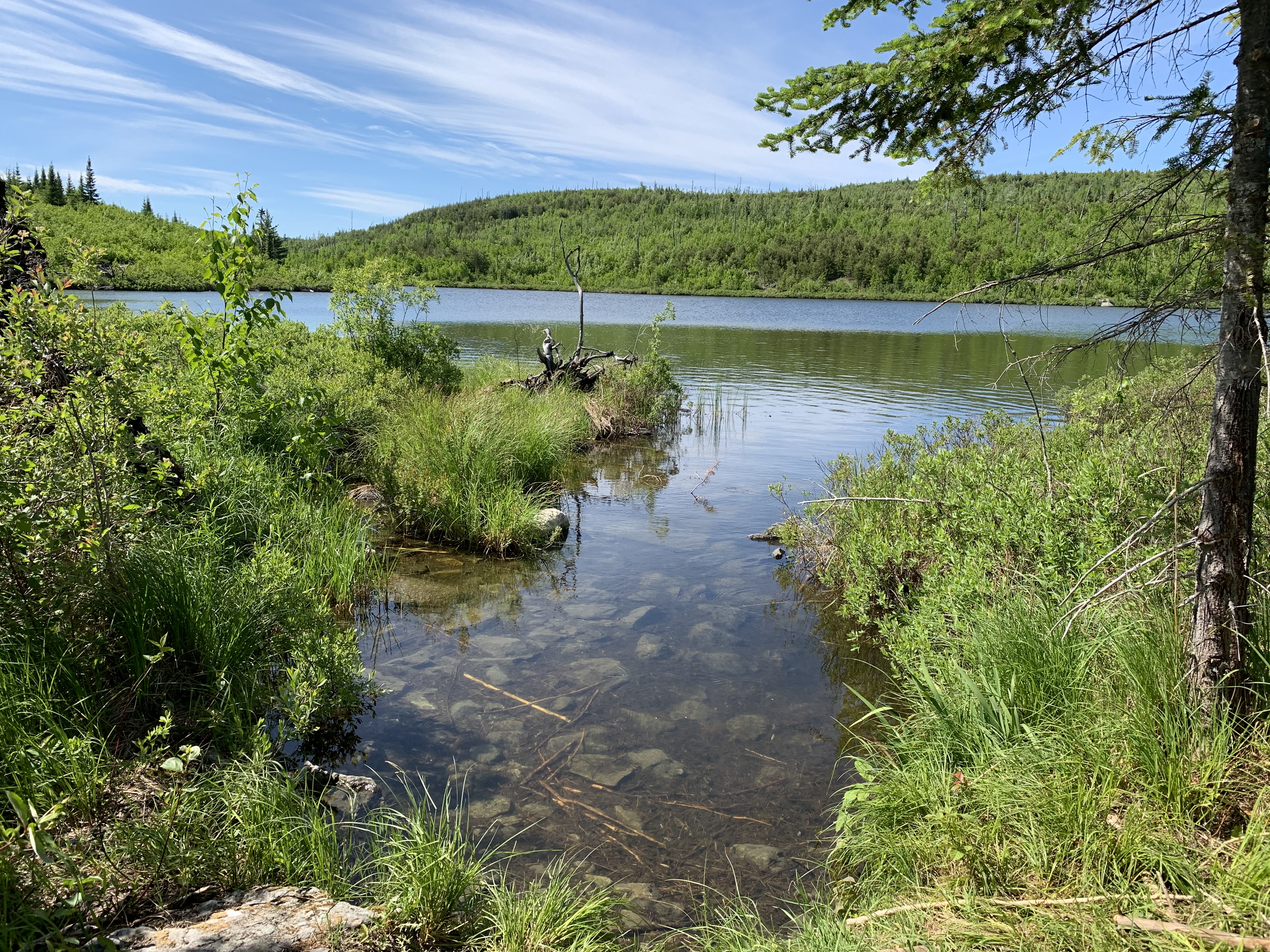
A view of Glee Lake from the Fay Lake portage. You are looking to the north/northwest. That hill across the lake rises about 200 feet above the lakes surface.
(The camera somehow got on the timelapse setting, so no 4K recording of Glee Lake. Just pause the timelapse if you want to see a photo of the lake from whatever location you stop the video at.) Paddling from the Fay Lake portage eastward along the south shore of Glee Lake to the Bingshick Lake portage.
Evidence of the Cavity Lake Fire of 2006. This is looking toward the southeast at the south shoreline of Seahorse Lake close to where the Chub River enters the lake.
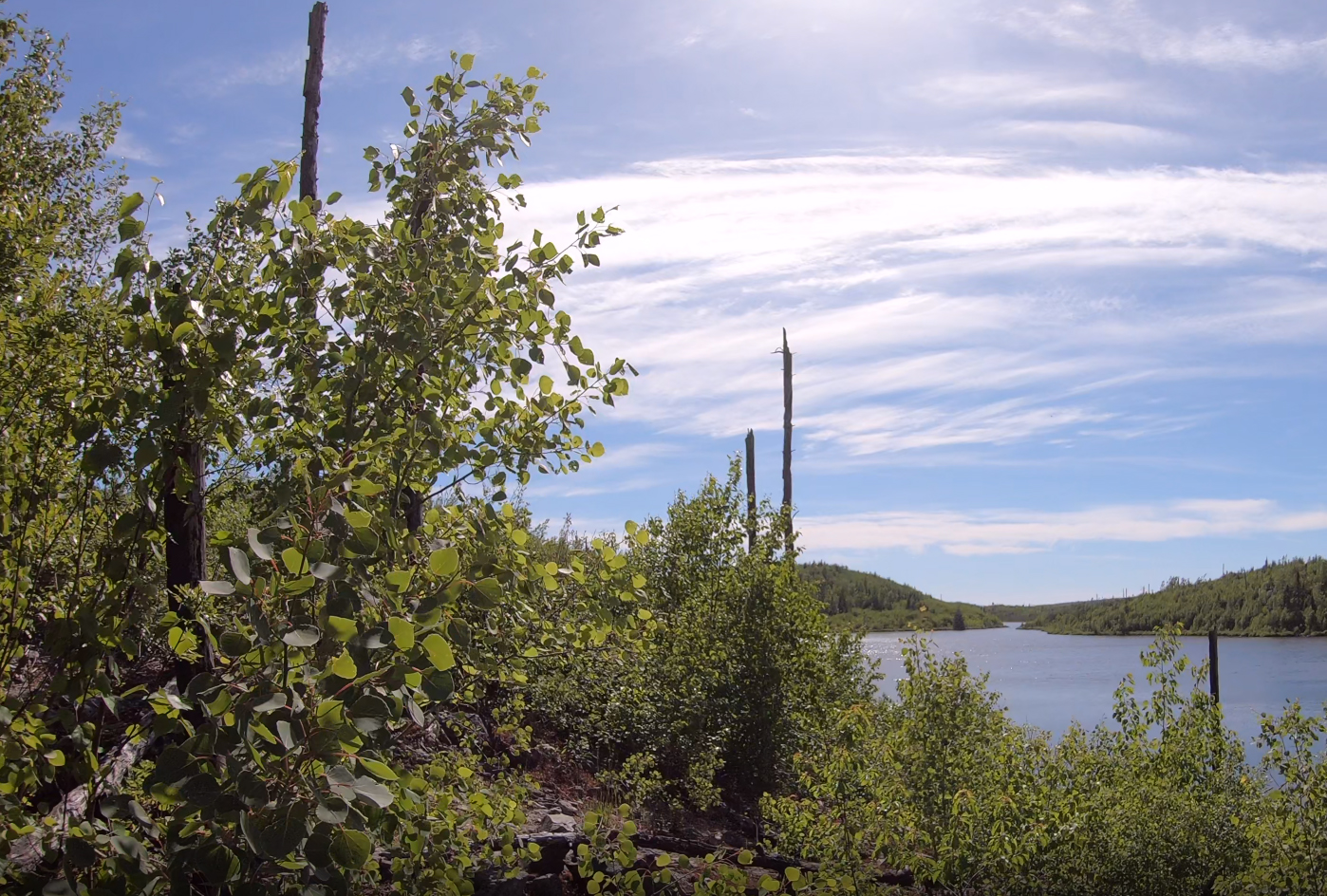
A fine view of Glee Lake from the top of the hill along the Bingshick Lake portage. Looking to the west. Portage to Bingshick Lake -or- Explore Another Route **********************************************END OF ROUTE***********************************************