Except for the south and southeast shoreline, almost all of the remaining shore of Brant Lake was burned by the 2007 Ham Lake Fire. The lake has three campsites, all of them in the part of the lake affected by the fire. These sites appear to be open still.
Note, that this lake was spelled "Brandt" Lake on the Minnesota DNR Lake Finder website (as of July 2020), although a search of "Brant" will find the correct lake.
While Brant Lake is 80 feet deep, it does not support lake trout. Only a very small area at the north end of the lake reaches this depth. The lake has about four miles of shoreline (a lot for a 104 acre lake). The only game fish in the lake is northern pike, of which there are plenty. The shoreline has several high cliffs, which are now exposed by the recent fire.
There are two portages into Brant Lake. The portage from Edith Lake is an easy 33 rodder. However, the portage between Brant Lake and Gotter Lake is a climb requiring you to have a bit of mountain goat in you. A tough portage for sure. You are rewarded along this portage with some scenic views. Brant Lake sees a fair amount of traffic given its proximity to Round Lake. Beyond Brant Lake, particularly if you are heading to the north end of Flying Lake, you will have most of the lakes to yourself, as this area is only lightly traveled.
Brant Lake has some high cliffs and large rock outcrops that are now more visible with the decreased forest cover. This makes for some impressive views.
Brant Lake drains to the west out of the southwest corner of its southwestern bay. Drainage is through a smaller creek that leads to Gotter Lake a half-mile or so to the west. The portage to Gotter Lake though is found in the northwest arm of Brant Lake.
References:
Beymer, Robert, Boundary Waters Canoe Area – Volume 2 – Eastern Region (Berkeley: Wilderness Press, 2006), 147, 152-154, 158.
Pauly, Daniel, Exploring the Boundary Waters (Minneapolis: University of Minnesota Press, 2005), 323, 324, 335.
Click on the photos below to see the full resolution image - Use your browsers back button to close photo and return to this page.
PADDLING FROM THE EDITH LAKE PORTAGE TO THE GOTTER LAKE PORTAGE
A desolate but pretty Brant Lake from the Edith Lake portage (October 2015).
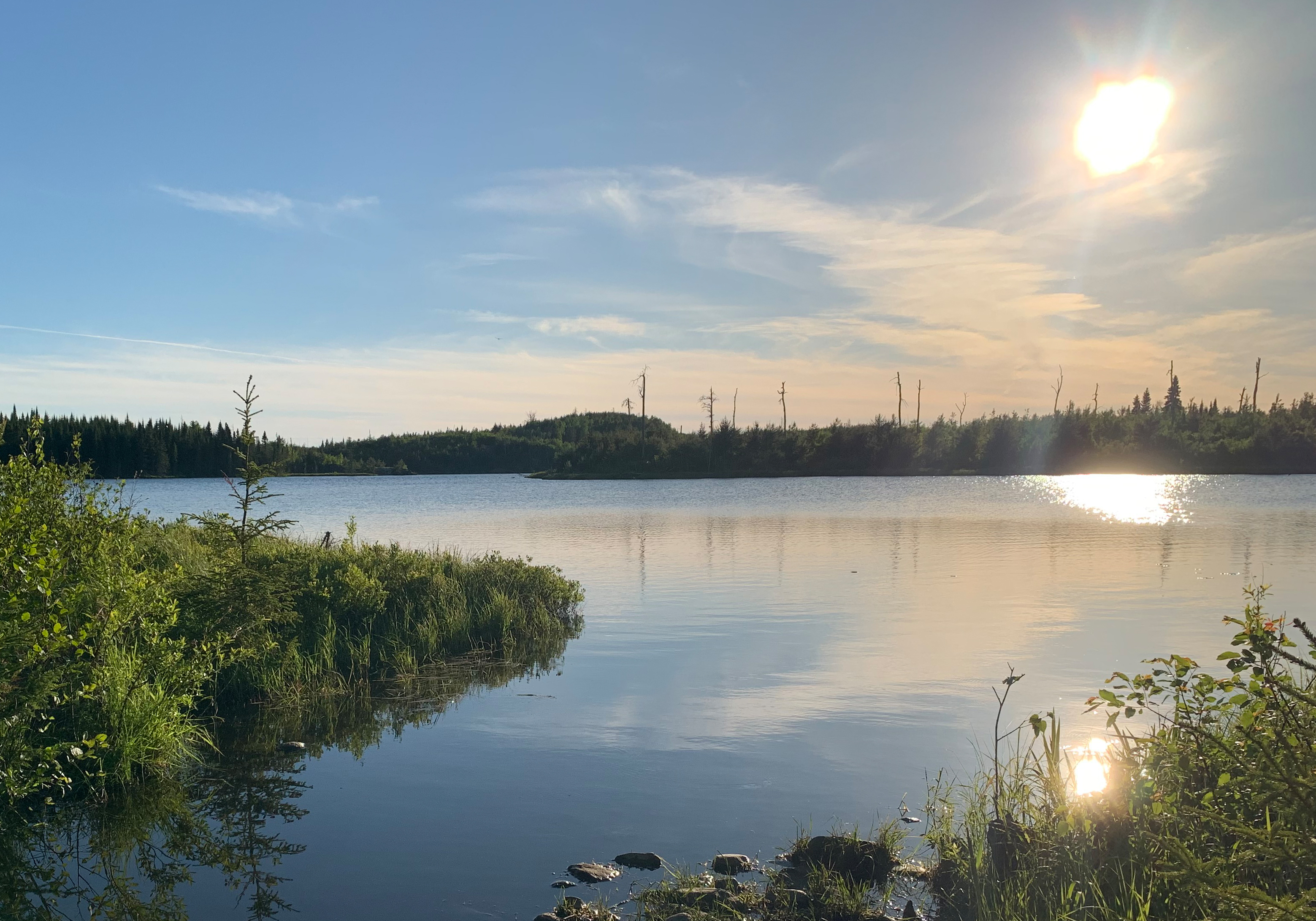
Another view of Brant Lake from the Edith Lake portage in the late afternoon (June 2020).
The point that divides Brant Lake into a north and south half, creating the two arms of the lake.
Paddling around the cliff jutting out on the left side of your view, will lead you into the northwest bay of Brant Lake.
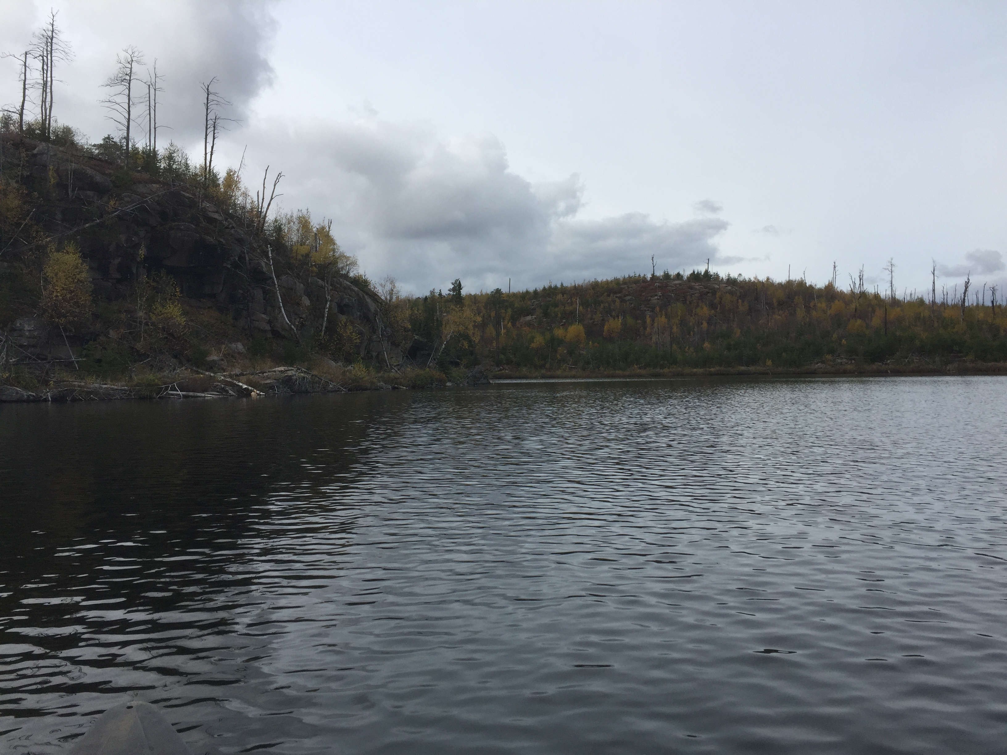
Paddling across Brant Lake starting at the Edith Lake portage and ending at the Gotter Lake portage. You paddle through a fire changed landscape. This is Brant Lake about 8 years after the 2007 Ham Lake Fire (2015).
Cliffs visible along the north shore of the northwest bay of Brant Lake, heading toward the Gotter Lake portage.
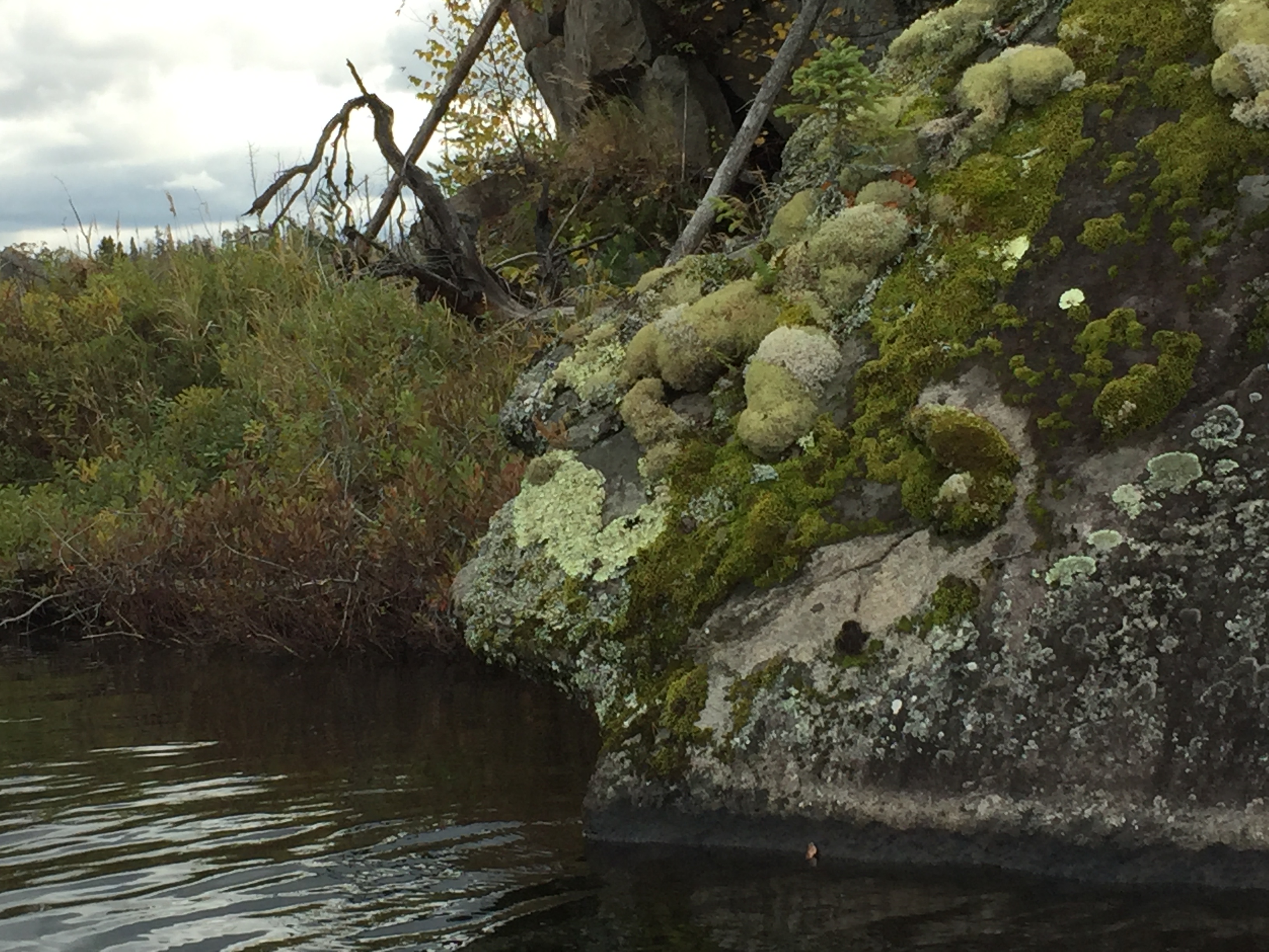
Lichen and mosses have more sunlight and less competition because of the recent fire. Large patches of them cover the rocks along Brant Lake.
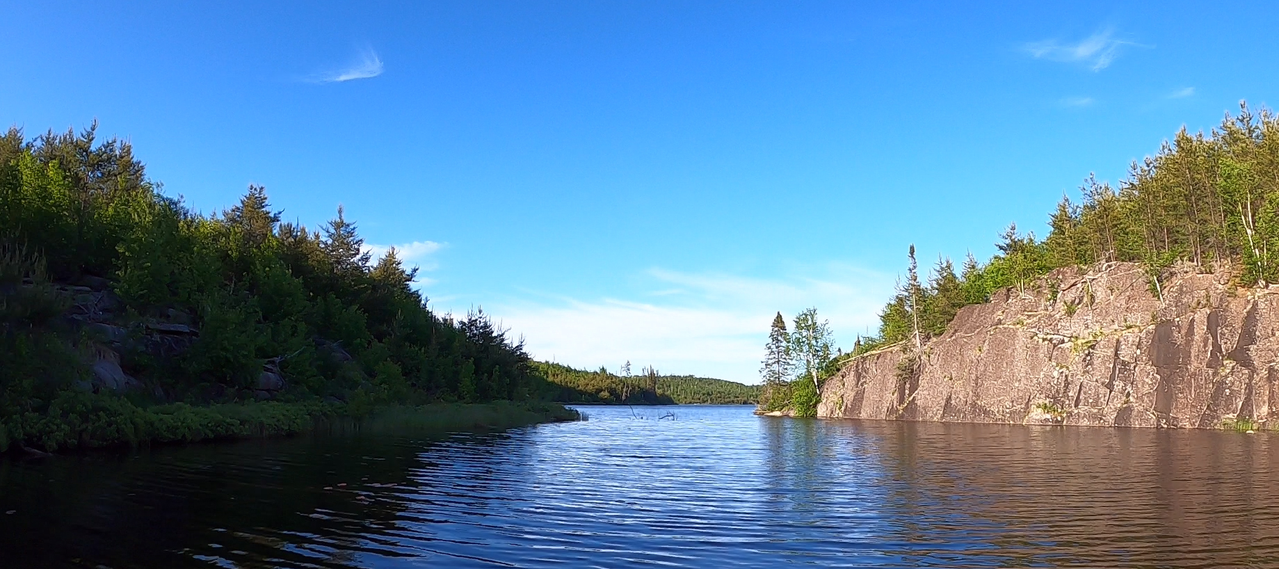
Sharp cliffs along the south shoreline of the narrows in the northern most of the two western arms of Brant Lake. Heading is toward the east.
Looking out over Brant Lake from the start of the Gotter Lake portage. It is mid-October. Portage to Gotter Lake -or- Explore Another Route **********************************************END OF ROUTE***********************************************