HAM LAKE CAMPSITES: Campsite 1: (#551): Campsite on the prominent north point of the lake Campsite 2: (#553): Furthest east campsite on the lake Campsite 3: (#550): Western most campsite on the lake by the channel
Campsite 4 (#552): Campsite just east of the point on north shoreline
Ham Lake is a modest sized lake just outside of the BWCA. You must cross the portage between Ham Lake and Cross Bay Lake to officially enter the Boundary Waters Canoe Area Wilderness. This portage is shown in the wrong spot on many maps. Some maps show it near the location where the Cross River flows into Ham Lake. It is actually about 600 feet to the east.
This lake was near the unfortunate ignition point of the 2007 Ham Lake Fire. Currently cedar and spruce are the predominant tree species in this area.
Ham Lake is mostly a flowage as the Cross River flows into the southeast part of the lake over some fairly impressive rapids. The river leaves the lake in a more leisurely fashion toward the western end of the north shoreline by the campsite.
The campsite on the large point jutting out into the lake from the north shore is the most popular and probably the best one on the lake. The eastern most campsite is also quite nice. The campsite between these was not as nice and had a more difficult landing spot. Since Ham Lake is not in the BWCA, this lake makes for a good camping place the night before you enter the Boundary Waters. You are allowed to pick up your BWCA permit the day before your official entry date.
References:
Beymer, Robert, Boundary Waters Canoe Area – Volume 2 – Eastern Region (Berkeley: Wilderness Press, 2006), 136,139,151.
Pauly, Daniel, Exploring the Boundary Waters (Minneapolis: University of Minnesota Press, 2005), 312.
Click on the photos below to see the full resolution image - Use your browsers back button to close photo and return to this page.
PADDLING FROM THE CROSS RIVER EAST TO THE CAMPSITE ON THE LAKES PROMINENT POINT
View of the north bay of Ham Lake. The Cross River flows out to the far left of your view. This is the view from the start of the 30 rod portage.
Leaving the landing of the 30 rod Cross River portage and paddling south across the small northern bay of Ham Lake. Eventually you come out into the main part of the lake.
Paddling to the east along the north shore of Ham Lake. You begin this stretch coming out of the narrow channel from the small bay on the north side of the lake. There is a campsite here on the point, on the east side of the channel.
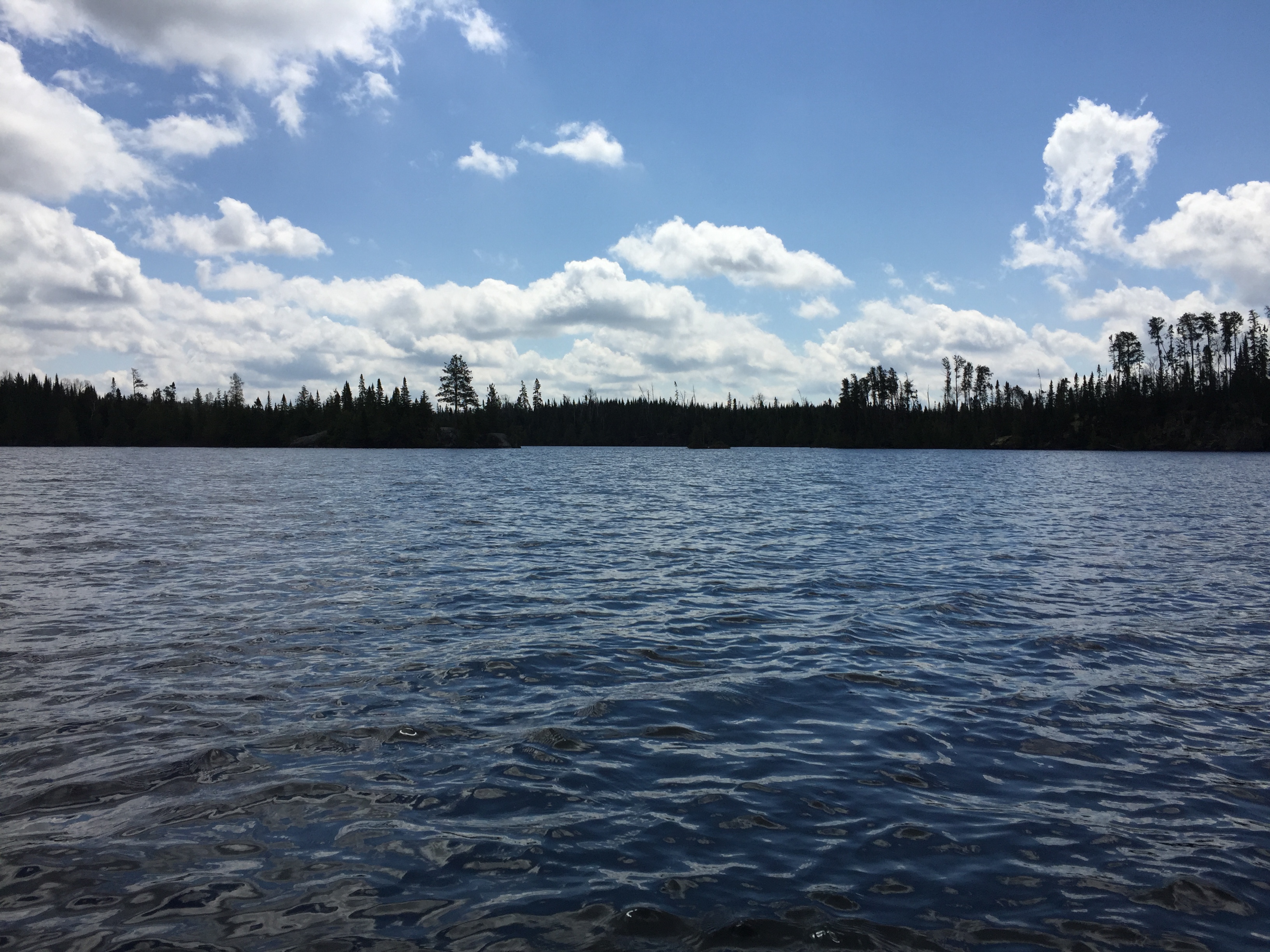
Main part of Ham Lake looking toward the east. Your view is from about a quarter mile away from the campsite on the prominent north point of the lake. This is an awesome campsite with expansive views of most of the lake. It can be a bit breezy though.
Continuing to paddle east on Ham Lake making for the campsite on the tip of the long point that extends out from the north shoreline.
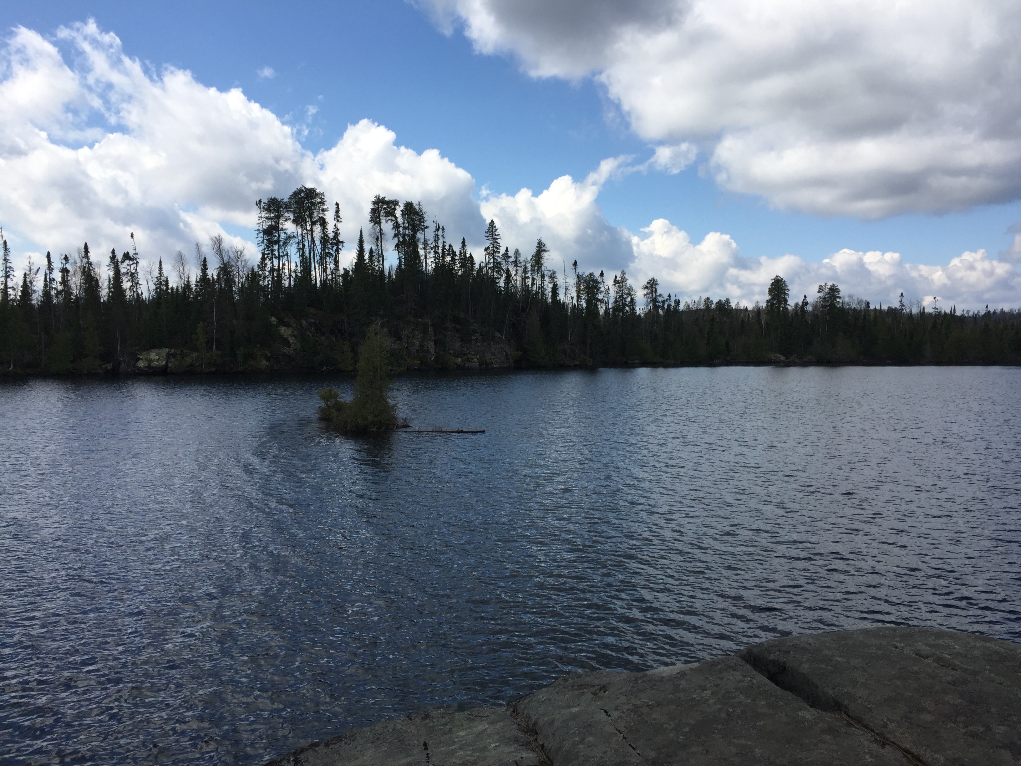
You are looking west from the campsite on the prominent north point. This point is in the easter half of the lake. Some fire damage caused by the 2007 Ham Lake Fire is visible along the far shoreline (center of your view).
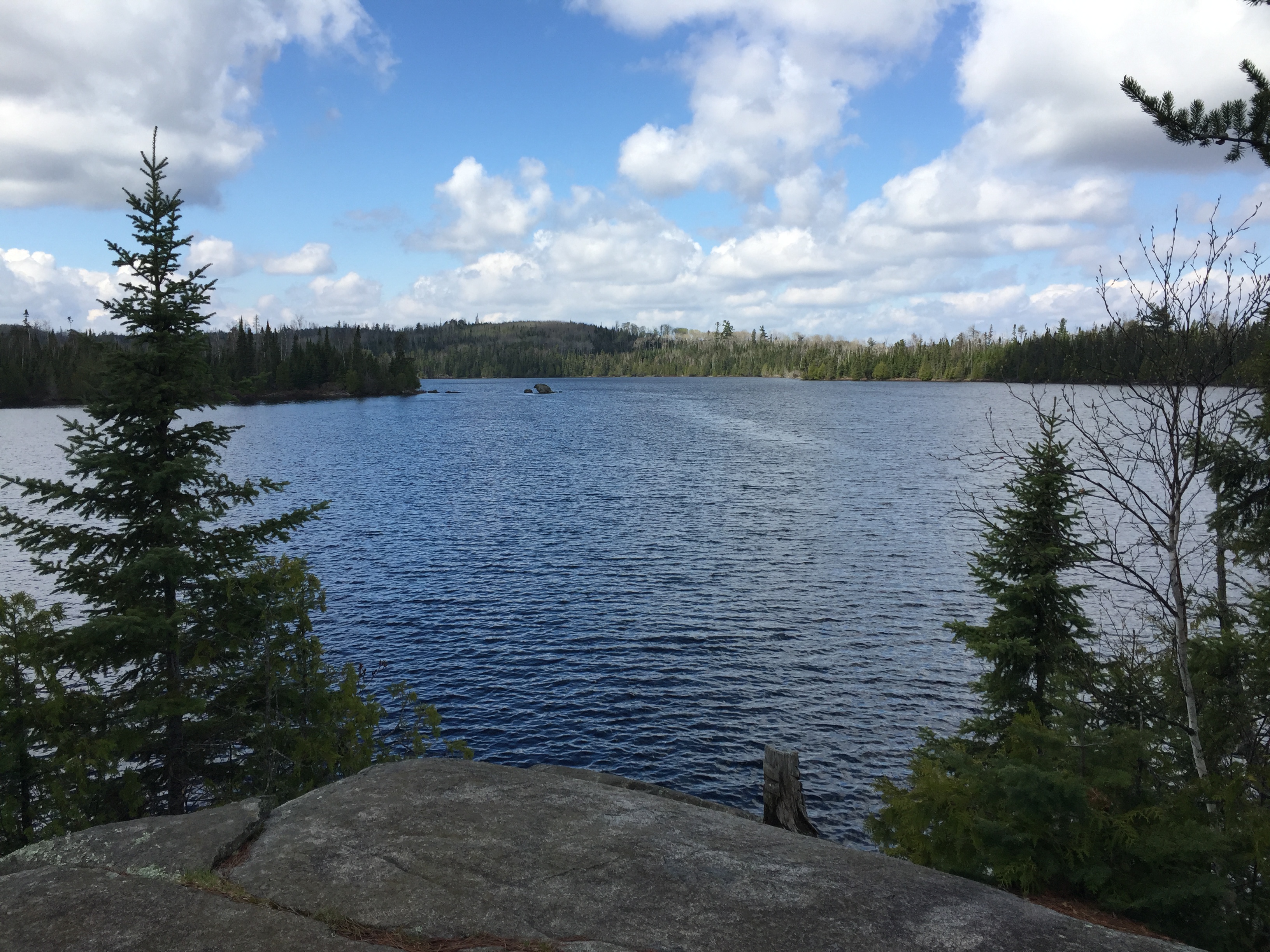
Gazing south from the campsite on the north point. A small island sits in the middle of the lake in line with the cliff on the south shore. Visit the Campsite -or- Explore Another Route **********************************************END OF ROUTE***********************************************
PADDLING FROM THE CAMPSITE ON THE POINT TO THE CROSS BAY LAKE PORTAGE
You reluctantly leave the nice campsite on Ham Lake's north point. From here you strike out across the lake making for the south shore. Once on the south side of the lake, continue east over to the portage leading to Cross Bay Lake/Cross River. This is the 24 rod portage on your map. This portage is some ways west of where the Cross River flows into Ham Lake. Portage to Cross Bay Lake -or- Explore Another Route **********************************************END OF ROUTE***********************************************
PADDLING FROM THE CROSS RIVER EASTWARD TO THE CROSS BAY LAKE PORTAGE
An uninterrupted paddle from where the Cross River flows out of Ham Lake along the north shore of the lake, over to the Cross Bay Lake portage along the south shore in the east end of the lake.
View of Ham Lake from the Cross Bay Lake portage. Portage to Cross Bay Lake -or- Explore Another Route **********************************************END OF ROUTE***********************************************