A sizeable lake with bays and islands just to the southwest of Malberg Lake. Record Lake lies along the course of Record Creek generally splitting that creek into a northern and southern section. Record Lake drains out through Record Creek toward the north into the Kawishiwi River near the 62 rod portage to Malberg Lake.
There was a large fire in this area around 1863-1864. This fire is known as the North Kawishiwi River/Alice Lake/Cypress Lake/Saganaga Lake Complex. This burn began south of the current BWCAW's southern boundary near the town of Isabella, Minnesota.
Click on the photos below to see the full resolution image - Use your browsers back button to close photo and return to this page.
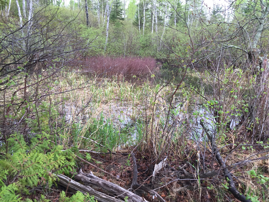
The entire approach to Record Lake is via Record Creek. There is a bay on Malberg Lake that appears to offer a shorter passage into Record Lake, but that way lie dragons (it is a swamp full of tangled underbrush - see photo below).
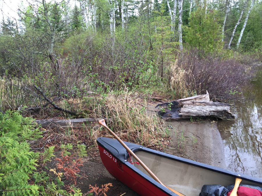
Beach were "false" bushwhack to Record Lake could be attempted from Malberg Lake. (This location is 1,220 feet from Record Lake.)
Bog morass you would have to bushwhack through if you want to go from Malberg Lake to Record Lake.
Possible Alternative Bushwhacking Route: This route begins from near the south end of River Lake about 1/4 mile north of the portage to Fishdance Lake on the eastern shoreline. From there bushwhack about 1.6 miles eastward to Record Lake through a series of unnamed ponds, peat bogs and creeks.
Bushwhack to Record Lake
Visit the Record Creek page on this website to see the bushwhack into this lake.
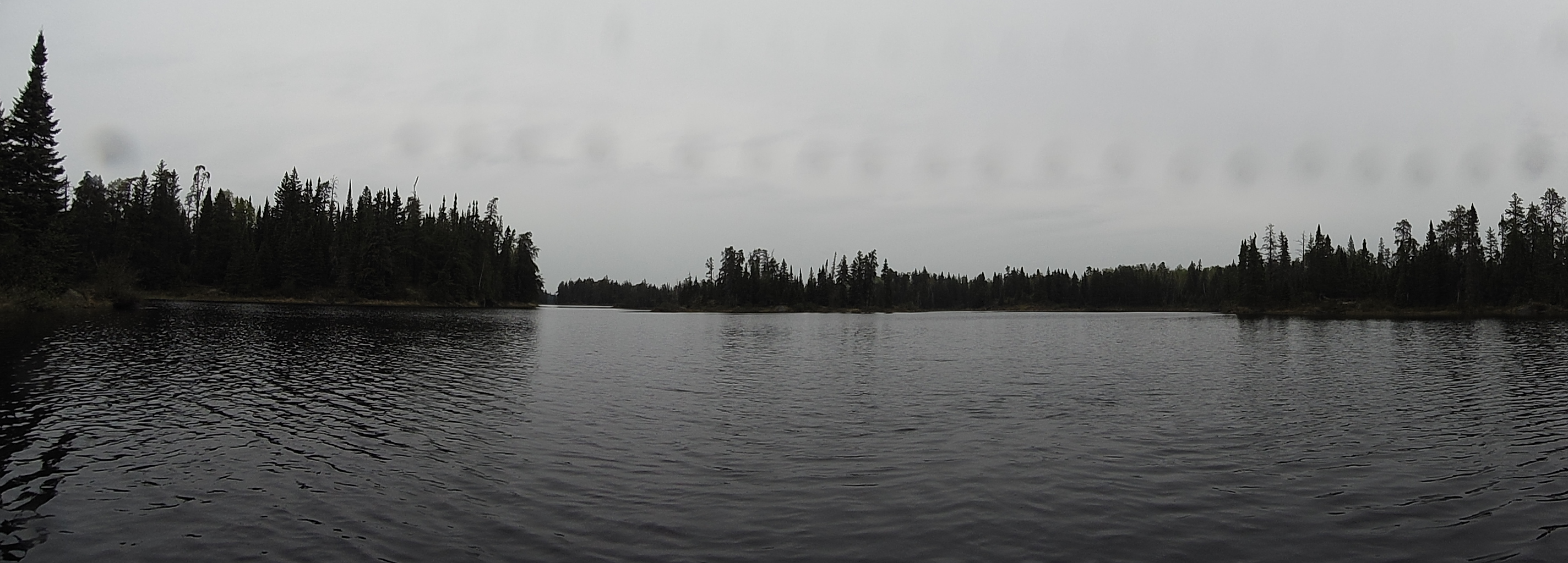
PADDLING FROM RECORD CREEK ON NORTH END OF LAKE TO WHERE IT FLOWS INTO SOUTH END OF LAKE
Record Creek flows into the south end of the lake and exits out of the lake's north arm. A large island and a tiny island just to its south, dot the waters of Record Lake. The lake has several bays that backup to peat bogs. This is a very scenic lake. The water is darkly stained probably from the surrounding peat bogs. There is an odd "black cliff" along the lakes western shoreline. It is easily seen in the videos below, but photo of it didn't turn out well. It was a rainy, miserable day.
From your canoe, you can see back into this small bay which is about midway along the western shoreline. The trees on the right are on what used to be the lakes "other" large island, when water levels were higher.
Enter Record Lake coming from Record Creek on a south heading. Paddle along the west shoreline of the lake. After about four minutes of slow canoeing, pass the small bay in the middle of the west side of the lake. Just a few minutes later, cruise just to the west of the lakes largest island. Another much smaller island lies just south/southwest of it. Looking to the right, there is an oddly colored rock outcrop (small cliff) that is stained black. Continuing on along, head into the southeast bay where Record Creek flows into this part of the lake. Record Creek starts out near Bugo Lake, about a mile upstream to the south.
A strange looking rock outcrop (small cliff) along the west shore of Record Lake. This is very near to the smallest of the two islands on the lake. (Grainy image because the photo is taken from a distance through heavy mist and rain.)
This tree leans out over the lake and is located between the black rock outcrop and the small bay in Record Lake's southwest corner.
In the southwest corner of the lake, you can see through the rain back into a narrow valley in which a tiny creek flows. If you follow this valley for 1.6 miles you will come out on River Lake, just north of the Fishdance Lake portage. It would not be an easy bushwhack. ***********************************************END OF ROUTE***********************************************
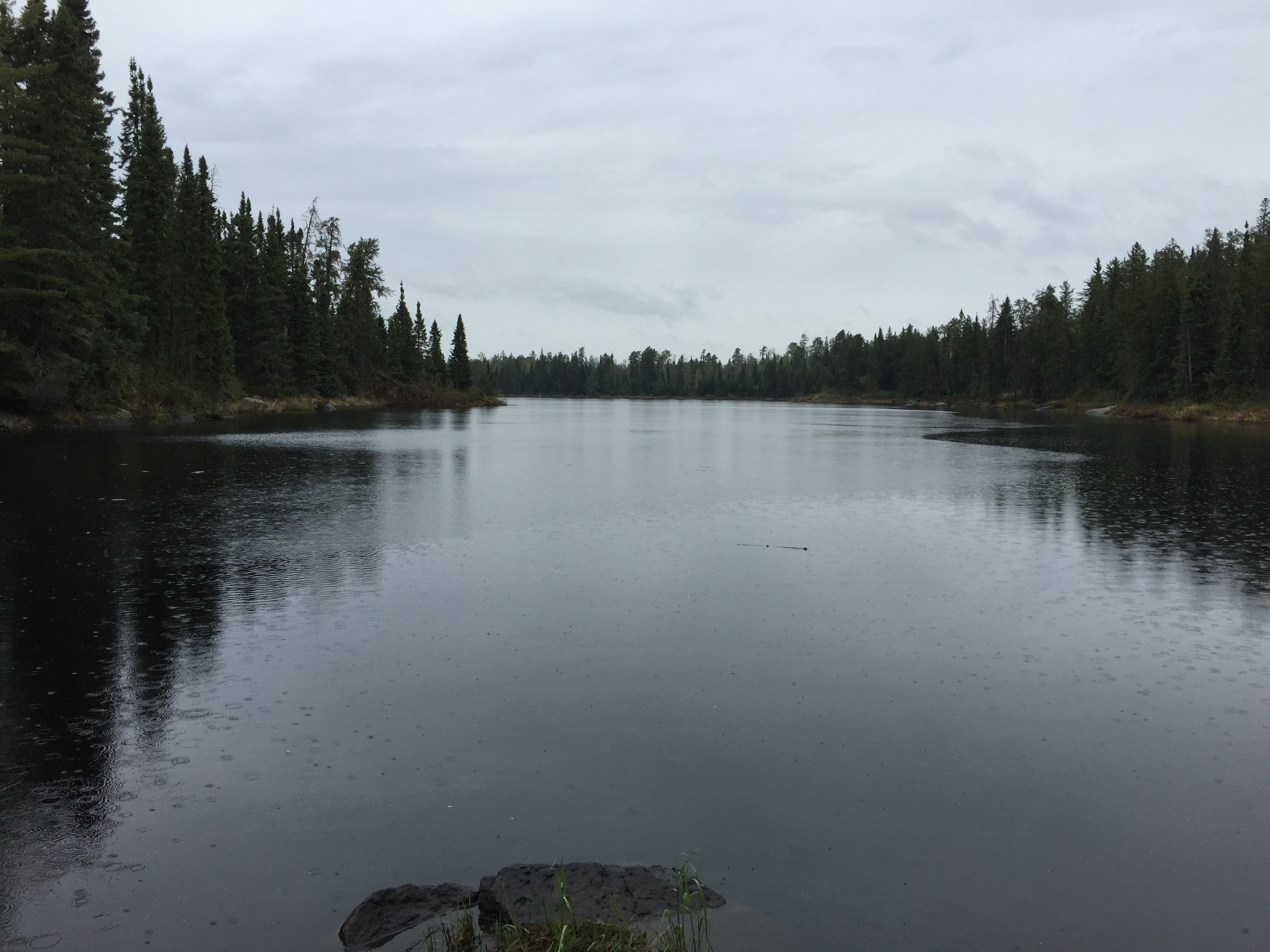
PADDLING FROM RECORD CREEK AT SOUTH END OF LAKE TO WHERE IT EXITS ON NORTH END OF LAKE
View from the south end of the lake. The island (middle of your view) has a reasonably open spot, with nicely sloping rocks, for setting up a camp.
From near the location of where Record Creek flows into the southeast bay of Record Lake, you can see up the entire eastern shore of Record Lake. A steady rain has kept you company all day.
Continue paddling counterclockwise through the steady rain on a very dark day around Record Lake. Starting point is the bay where Record Creek flows into the lake's southeast corner. Continue along up the east shoreline on a north heading. The final part of your route turns toward the west as you reach the north end of the lake and make your way to where Record Creek flows out. This spot is marked by a large fallen pine tree that blocks over half of the creek where it leaves the lake.