Indiana Lake
Kawishiwi Ranger District
INDIANA LAKE CAMPSITES:
Campsite 1 (#2046): Located right next to the Basswood Lake portage
Campsite 2 (#2047): Easternmost campsite on the lake along the north shoreline
Indiana Lake has good fishing for largemouth bass in its clear waters. The lake also has some decent sized pike. The lake is relatively quiet as the majority of traffic to Basswood Lake passes through Good Lake to the west.
The only outlet from Indiana Lake is through a small creek that flows into Madden Creek. There is a short portage along this creek, as Madden Creek is navigable down to Wind Bay on Basswood Lake. Two other portages lead to Good Lake and Baswood Lake.
Two campsites, both along the north shoreline. The western campsite is just east of the Basswood Lake portage.
Timber was extracted in this area by the Swallow and Hopkins Company in the first decade of the 1900's. The lumber was sluiced down Madden Creek (also sometimes known as Hula Creek) to Wind Bay on Basswood Lake. The logs were then rafted over to Hoist Bay and taken by railway to Fall Lake along what is now known as the Four Mile Portage (Heinselman).
Exploring Indiana Lake
Click on the photos below to see the full resolution image - Use your browsers back button to close photo and return to this page.
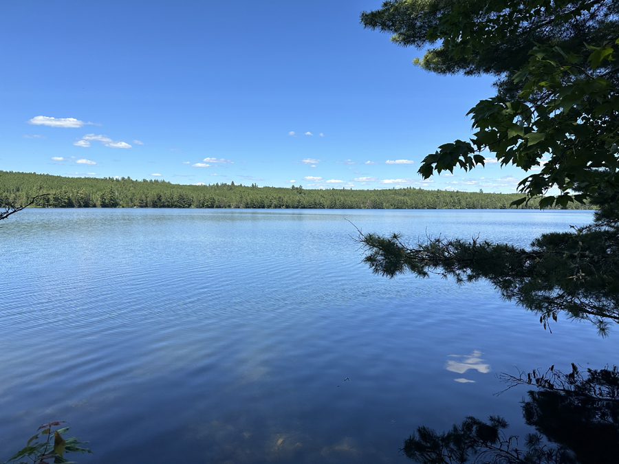
A view of Indiana Lake from the Good Lake portage. View is to the east/northeast.
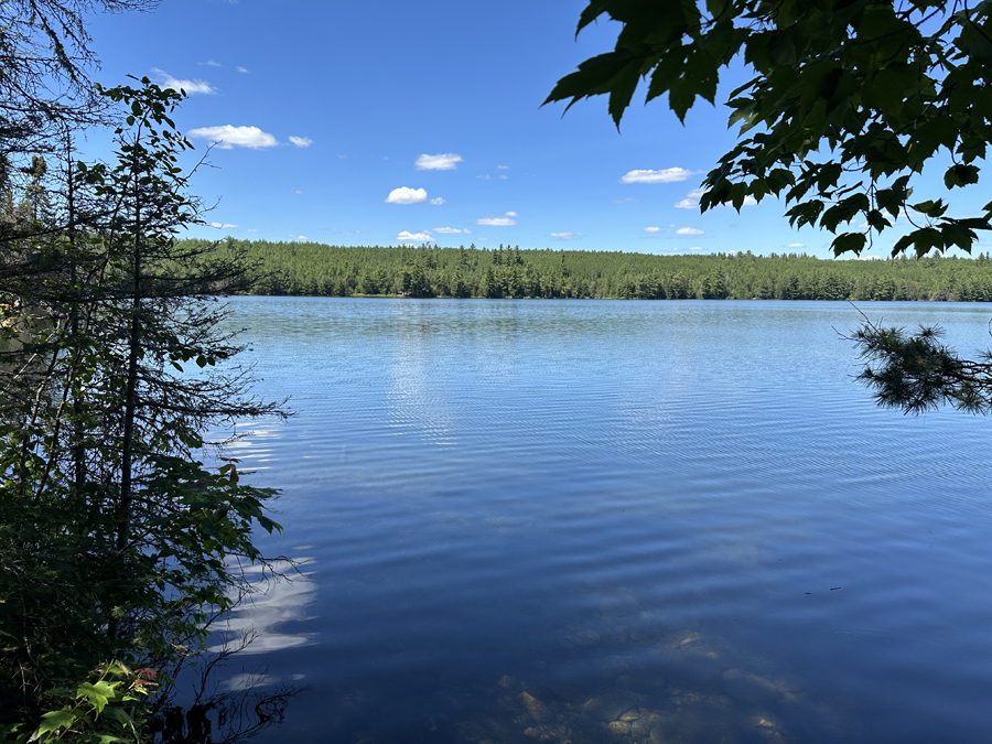
This is looking north from the Good Lake portage landing. You can see BWCA Campsite 2046 just left of center on the far shoreline. The campsite was occupied.
Route Connections for Indiana Lake
From Indiana Lake, you can portage to Basswood Lake (into either Hoist Bay or Wind Bay using Madden Creek) or Good Lake.
Return to Top of Page
|


