An expansive lake characterized by large, smooth rock ledges around much of the lakes perimeter. The north shoreline is mostly lowland. These smooth platforms of rock make good places to walk around and stretch your canoe weary legs. The lake has tons of structure: bays, fallen trees, rocky island, points, etc. The water of Ima Lake flows out into Jordan Lake near the portage.
Ima Lake was named after the daughter of a geologist who studied this area. His name was Professor Newton Horace Winchell. It wasn't named "Ima" just because it's a lake, as in ("I'm a lake").
A large and fairly deep lake (one of the deepest lakes in the BWCA) between Jordan Lake and Thomas Lake, Ima Lake holds good populations of northern pike and walleye. This lake has lake trout too. Once you reach Ima Lake, you will have left most of the crowds behind. You can usually find a nice campsite with little effort out here.
Ima Lake received a fairly heavy blow from the 1999 Independence Day windstorm event and evidence of that is still easy to see around the lake; in particular along the north shore of the lake there are a lot of trees down.
Heavy logging took place on Ima Lake around the turn of the 20th century. Most logging was carried out by the Hopkins and Swallow Company. There used to be a log sluiceway where the small creek flows out of Ima Lake into Jordan Lake next to the portage (Heinselman, 1999).
From Ima Lake, there are surprisingly few route options. Most groups continue toward Thomas Lake from here. To the south of Ima Lake is Alworth Lake, but this lake is pretty much a dead end unless you want to portage your canoe down a hiking path; the Old Pines Trail hugs part of Alworth Lake's shoreline. This trail sees few travelers and is hard to follow. Just north of Ima Lake is the Spider Lake Primitive Management Area (PMA). Ima Lake provides direct and fairly easy access to both Snatch Lake and Reflection Lake. Beyond Reflection Lake is a very pretty lake called Sedative Lake, but you will have to work a bit to get there. The routes in PMA's are not maintained by the U.S. Forest Service and you will need an additional permit to camp there. Here are the PMA regulations if you're interested.
References:
Beymer, Robert, Boundary Waters Canoe Area – Volume 1 – Western Region (Berkeley: Wilderness Press, 2006), 175, 194, 196.
Beymer, Robert, Boundary Waters Canoe Area – Volume 2 – Eastern Region (Berkeley: Wilderness Press, 2006), 183.
Heinselman, Miron, The Boundary Waters Wilderness Ecosystem (Minneapolis: University of Minnesota Press, 1999), 102, 200.
Pauly, Daniel, Exploring the Boundary Waters (Minneapolis: University of Minnesota Press, 2005), 169, 176.
Rom, William N., M.D., Canoe Country Wilderness (Stillwater: Voyageur Press, 1987), 29, 30.
Click on the photos below to see the full resolution image - Use your browsers back button to close photo and return to this page.
PADDLING FROM THE JORDAN LAKE PORTAGE TO THE SHORELINE NEAR SOLITUDE LAKE
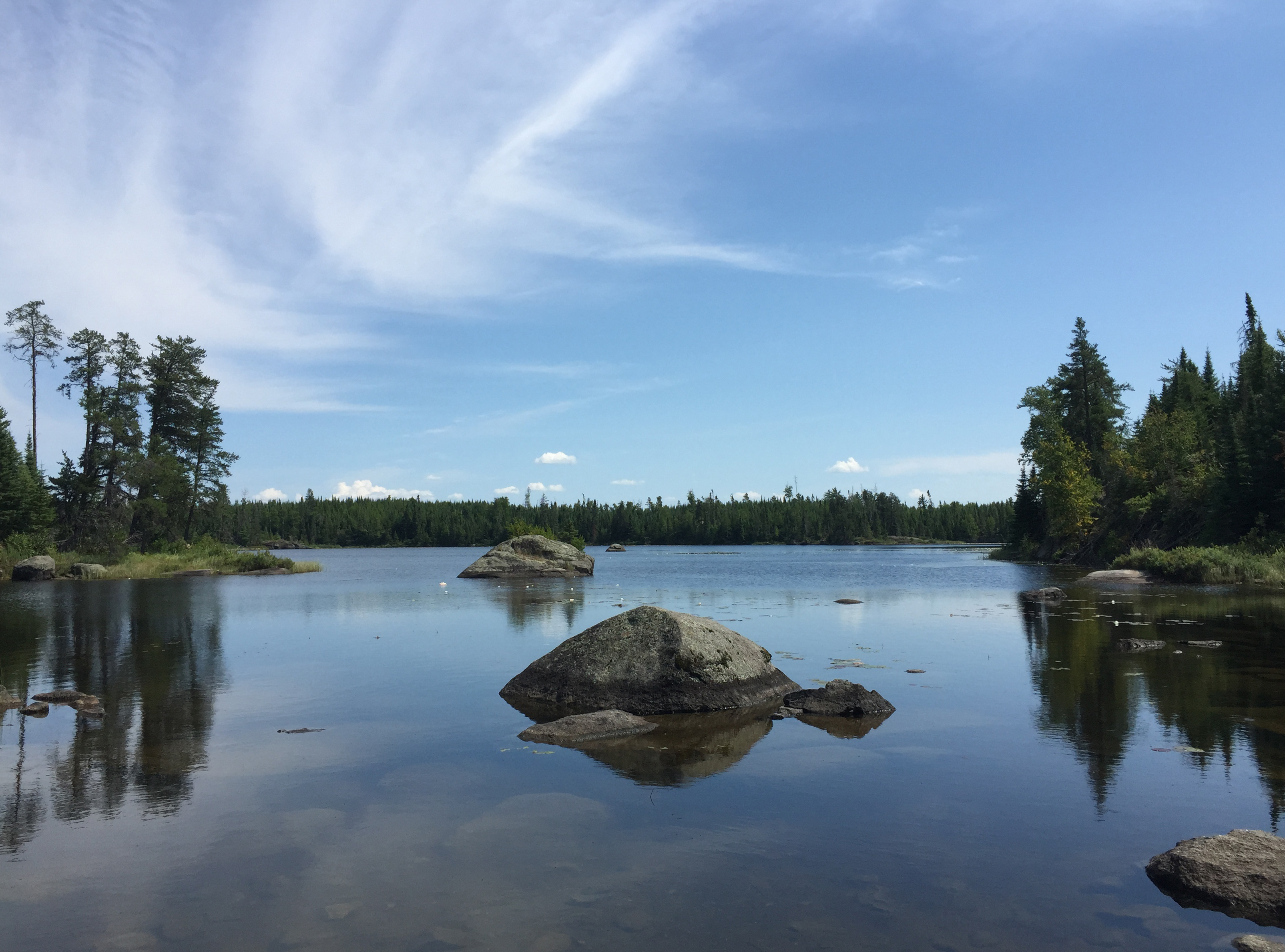
Ima Lake from the portage landing leading to Jordan Lake. The small bay that attaches to the east shore of the narrow channel leading to the Jordan Lake portage landing is visible in the distance; it is just beyond that point to your right.
Peering into that small bay along the east shore of the entrance channel into Ima Lake. Much of the bay is covered with lily pads sporting white flowers (visible in the distance to left of center).
Taking off from the Jordan Lake portage landing, you paddle northeast along the north side of Ima Lake until you get near the area of Ima Lake that is closest to Solitude Lake on your map.
There are thousands of toppled trees lying along the shoreline. Most of these were blown down by the 1999 Independence Day windstorm. A straightline wind (known as a derecho) moving at around 100 mph, blew through this area on that day.
More blowdown along the shoreline.
Landing spot on Ima Lake along the shoreline near Solitude Lake. There is a trail leading into the forest from the landing, but it disappears quickly.
Route Connections for Ima Lake
From Ima Lake, you can portage to Alworth Lake, Hatchet Lake or Jordan Lake. You can also bushwhack into Reflection Lake and Snatch Lake (both within the Spider Lake Primitive Management Area). There seems to be a landing along the shoreline that perhaps was the start of a trail to Solitude Lake. The trail disappears quickly though. Damage from the 1999 windstorm has knocked a lot of trees over in that area.