Another narrow lake (basically a wide spot along the river) similar to Rib Lake, only this lake is smaller. The shoreline of Lower George Lake is lowland. The lake has two major tributaries, George Creek in the northeast part of the lake and what may still be called the Cross River flowing into the south end of the lake.
There is no fishing information on this lake, but with all the moving water, would imagine is stays oxygenated throughout the winter.
There are no campsites on this lake.
Highly recommend a paddle up George Creek. It is a dead end route, but probably not often visited. Most paddlers just pass through Lower George Lake on their way to other destinations.
References:
Beymer, Robert, Boundary Waters Canoe Area – Volume 2 – Eastern Region (Berkeley: Wilderness Press, 2006), 60, 124, 139, 151.
Pauly, Daniel, Exploring the Boundary Waters (Minneapolis: University of Minnesota Press, 2005), 312-314.
Click on the photos below to see the full resolution image - Use your browsers back button to close photo and return to this page.
PADDLING FROM THE RIB LAKE PORTAGE TO THE KARL LAKE PORTAGE
Looking toward the south from the Rib Lake portage. Lower George Lake bends to the right in the distance. Behind you over your left shoulder is the mouth of George Creek.
The mouth of George Creek is in the center of this view in the far distance. The portage to Rib Lake is just out of sight to the left.
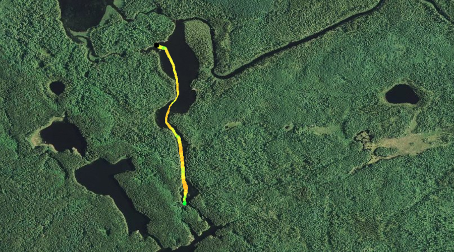
Paddling the entire length of Lower George Lake from the Rib Lake portage to the Karl Lake portage on the south end of the lake.
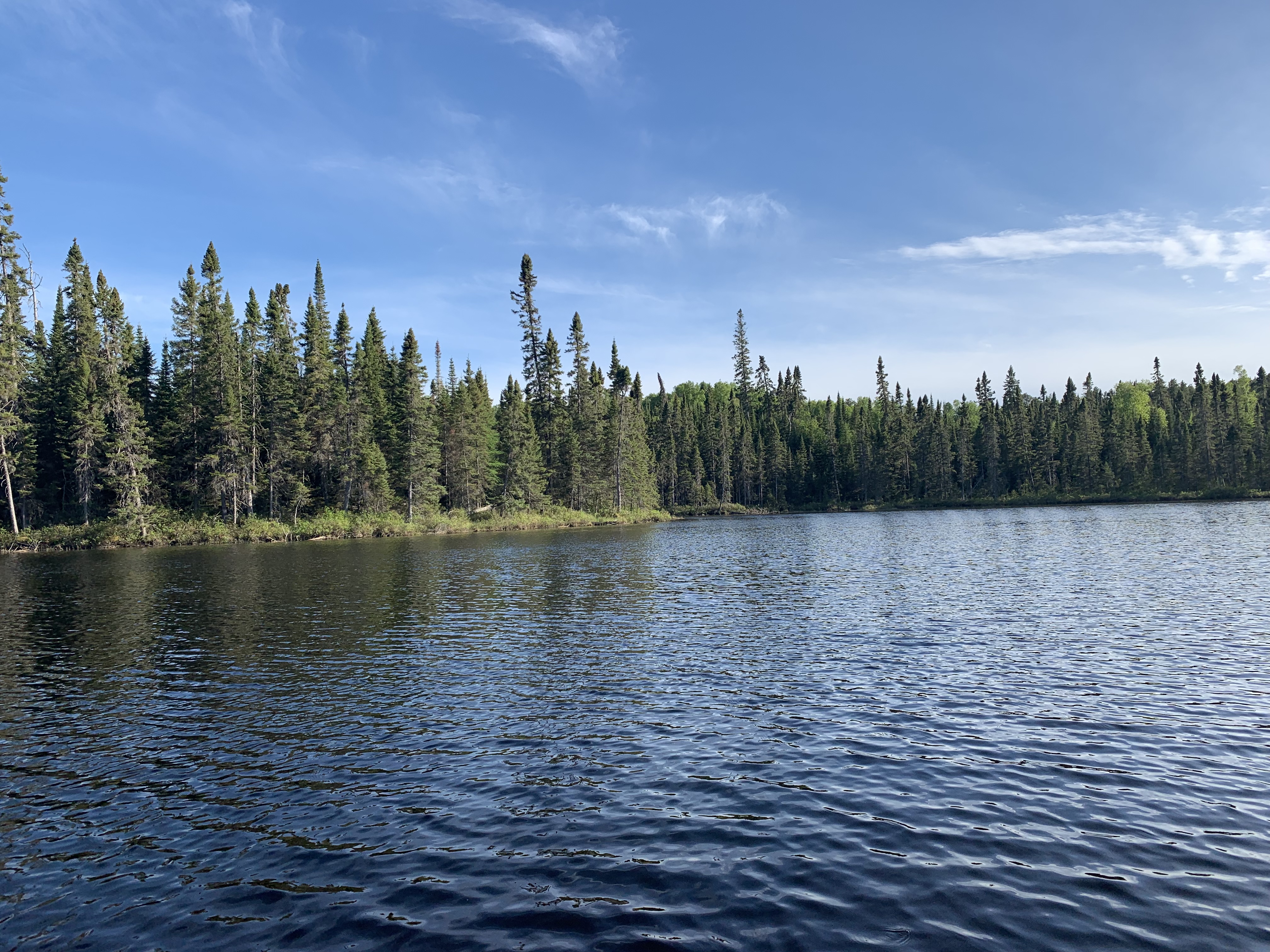
Western shoreline of Lower George Lake looking south, just before the lake begins to narrow.
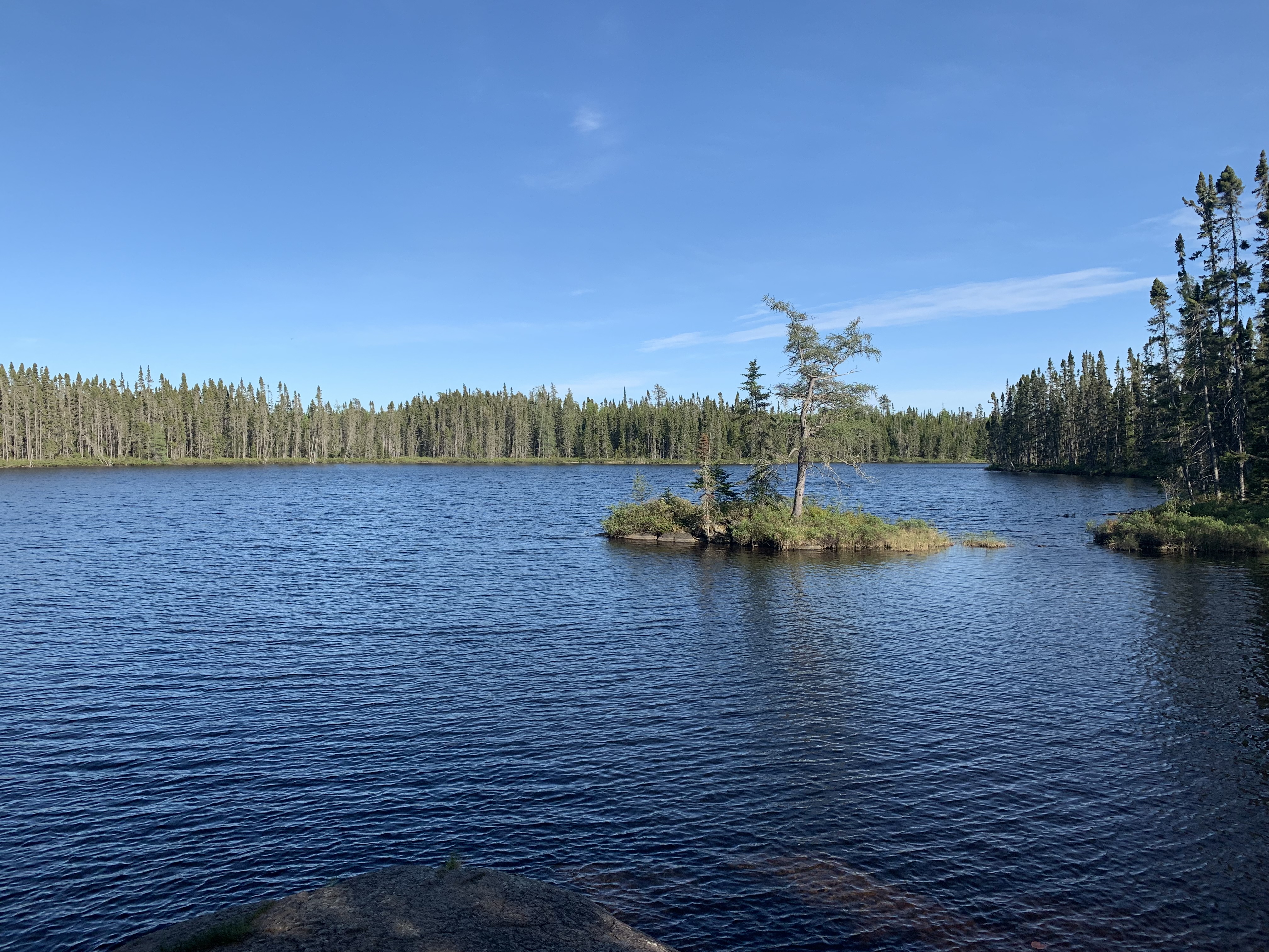
Looking toward the south where the lake quickly narrows to a width of only 100 feet or so.
Rapids flowing into Lower George Lake, to the left of the start of the Karl Lake portage (visible to the right).
Rapids from stream flowing in from Karl Lake. The portage to Karl Lake is just out of the view to the right.
Looking north at Lower George Lake while standing at the Karl Lake portage. Portage to Karl Lake -or- Explore Another Route **********************************************END OF ROUTE***********************************************