River Length: From its source at Gordon Lake to its mouth at Long Island Lake, the river is about 0.7 miles long. The actual start of the river may not be Gordon Lake, but rather Cherokee Lake. Difficult to determine.
Campsites: 0
Wildlife Seen on Visit: Waterfowl
Last Visited: June 16, 2019
Creek Elevation: Headwaters at Gordon Lake at 1776 feet (1788 if Cherokee Lake is the headwaters). Mouth at Long Island Lake at 1762 feet. Average of 20 feet per mile of elevation loss.
This is a short scenic paddle along a river. The Long Island River flows north from Gordon Lake (or perhaps Cherokee Lake) into Long Island Lake. There are two portages along the river, both easy. One is 25 rods from Gordon Lake into the river. The second is a very short 4 rod portage along the river. There are no campsites.
Long Island Lake and Cherokee Lake are two very busy lakes in the area where paddlers seem to congregate in the summer. However, the stretch between them on the Long Island River and through Gordon Lake is often much quieter. Seems that paddlers entering through Ham Lake tend to go no further south than Long Island Lake and paddlers entering at Sawbill Lake don't go farther north than Cherokee Lake. There are two campsites on Gordon Lake that can be used if Cherokee Lake is overflowing with campers.
Have recorded the Long Island River in the south direction (upstream) from Long Island Lake to Gordon Lake) as depicted below.
References:
Beymer, Robert, Boundary Waters Canoe Area – Volume 2 – Eastern Region (Berkeley: Wilderness Press, 2006), 60, 85, 95, 110, 118, 123, 132, 139, 151.
Pauly, Daniel, Exploring the Boundary Waters (Minneapolis: University of Minnesota Press, 2005), 272, 312, 313, 328.
Traveling the Long Island River (Upstream)
Click on the photos below to see the full resolution image - Use your browsers back button to close photo and return to this page.
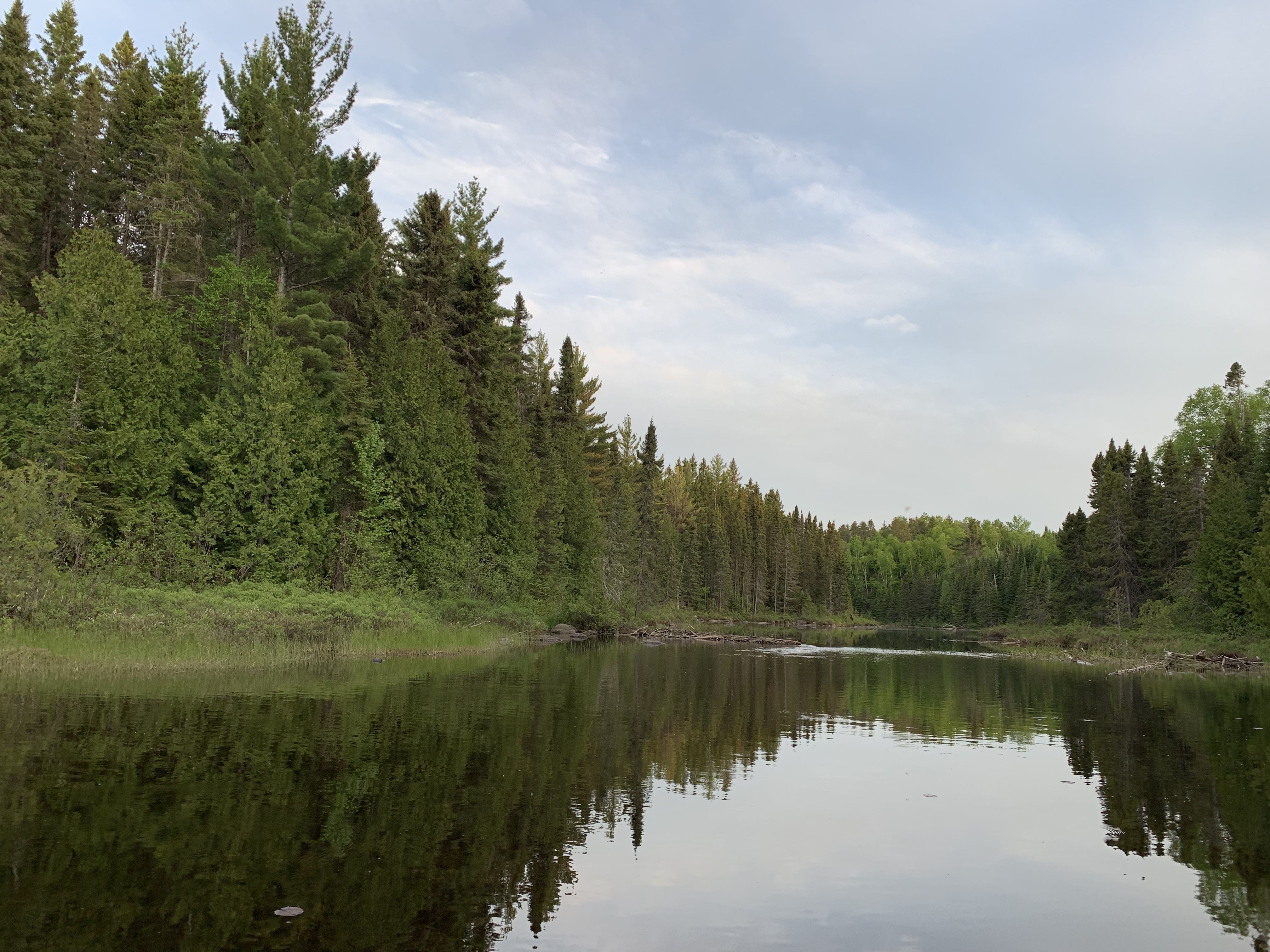
View upstream from the mouth of the river at Long Island Lake. That is a small beaver dam where you see that moving water just right of center. You can usually paddle through it (no liftover required).
Paddling from the mouth at Long Island Lake, upstream (to the south) to the 4 rod portage.
This is the small rapids that requires the 4 rod portage. The portage starts just to the right of this view.
The landing for the 4 rod portage if you are headed upstream. Smooth as can be. If you have two people, you can just leave most of your gear in the canoe and walk it over this little portage.
Portage 4 rods upstream along Long Island River. You are heading south (which is upstream). Can be confusing. The river flows in this direction because you are just north of the Laurentian Divide. The Laurentian Divide is similar to the more commonly referenced Continental Divide, but it divides the drainage of water north/south, rather than east/west.
View from the upstream landing along the 4 rod portage. You paddle to the right after leaving this spot. This landing is also top notch.
As you continue south along the river, it starts to open up. This is another beaver dam. Typically these dams don't entirely block the river, so you can just paddle through.
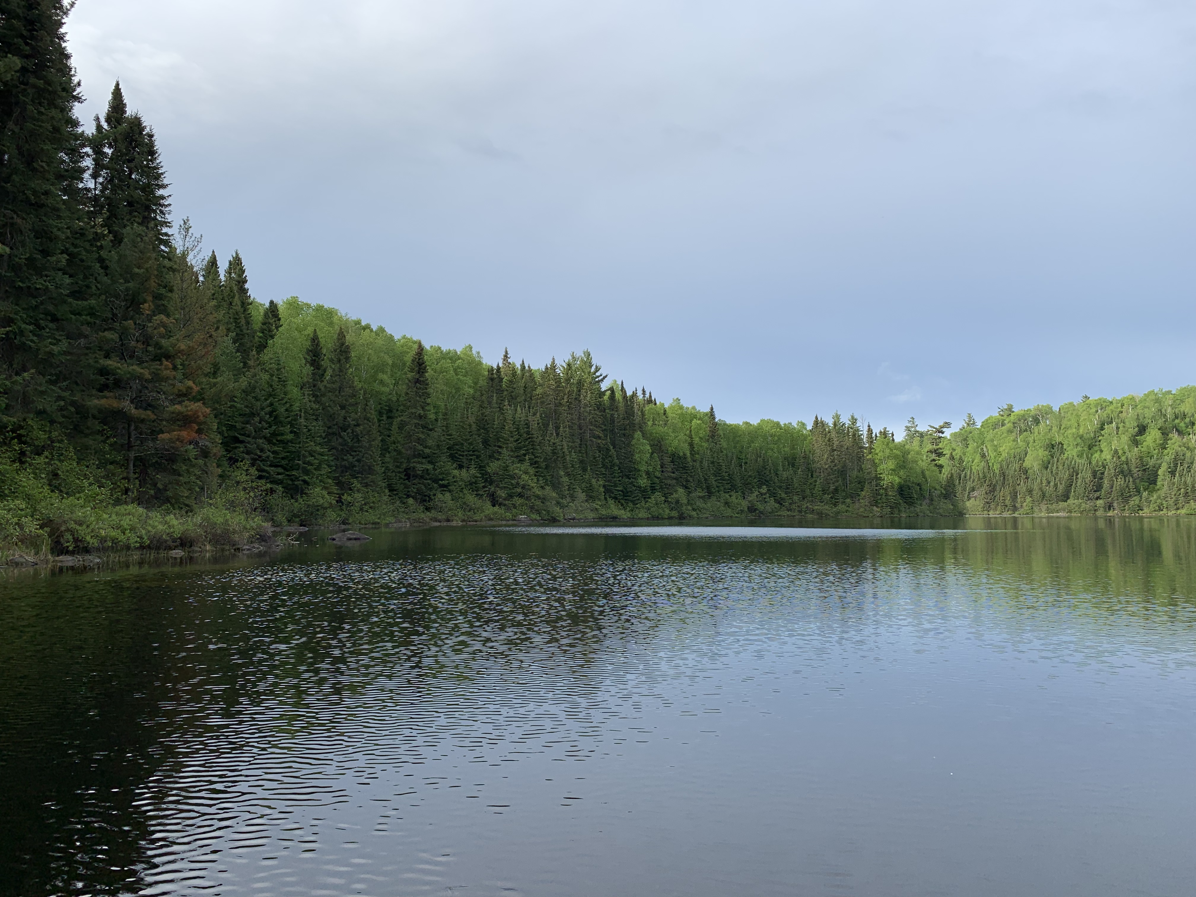
Paddling upstream to the south from the 4 rod portage to the 25 rod portage into Gordon Lake. This part of the paddle traverses the wider section of the river.
The wider section of the Long Island River between the 4 rod portage (to the north) and the 25 rod portage leading into Gordon Lake.
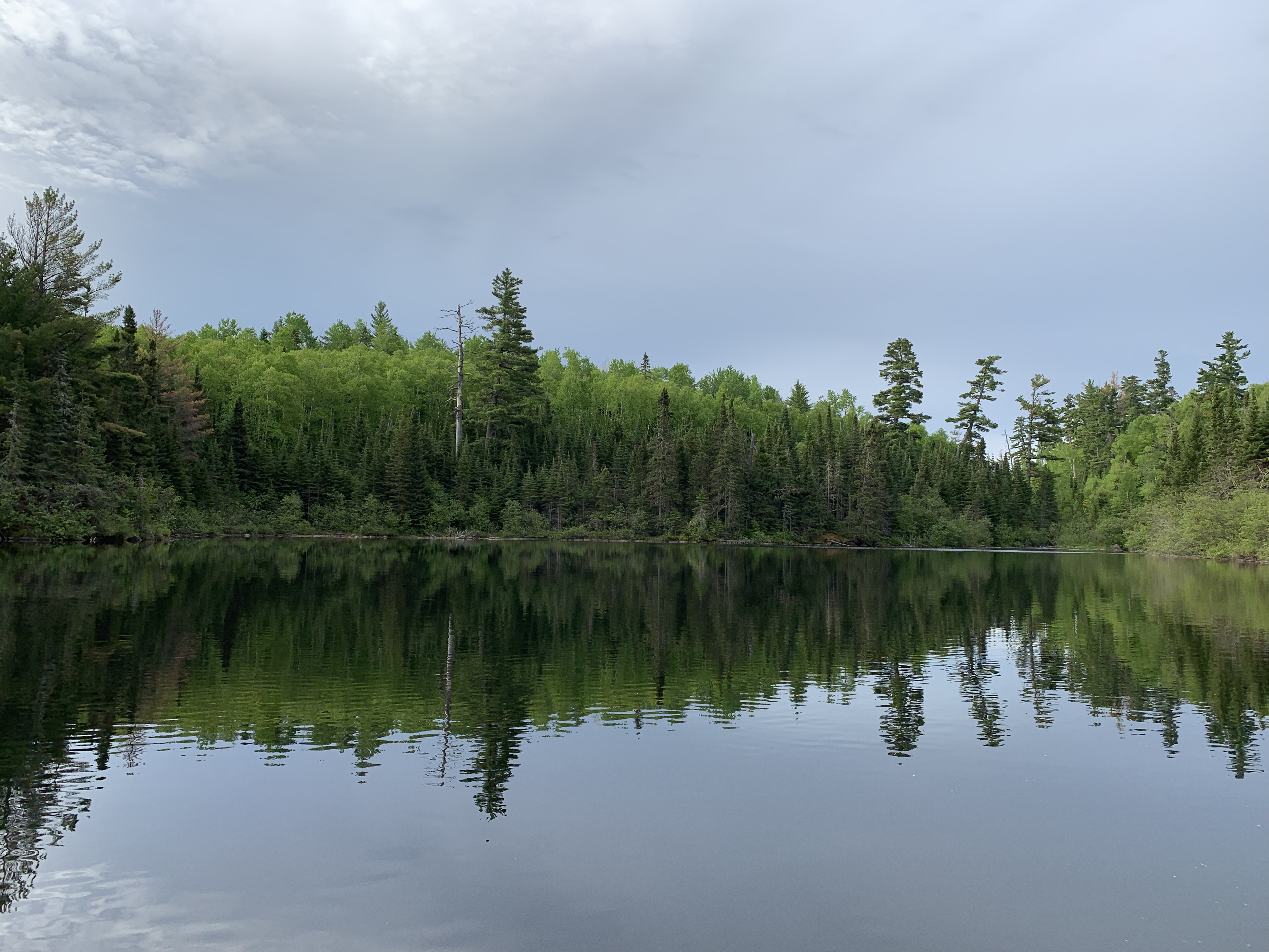
Another view along the river. Some large pine overlook the river through this stretch.
You aren't far from the 25 rod portage now. It is in the distance to the right side of your view. Marked by the tall, slightly leaning pine tree. The position of a portage is often given away even from well out on the water. Portages are often where you see the horizon reach its lowest point.