ROUTES/PORTAGES FROM WHALE LAKE:
No portage routes, but one could follow the Eagle Mountain Trail and/or the Brule Lake Trail to remote lakes in the area. Or take these trails all the way to Brule Lake and Homer Lake.
Whale Lake
Tofte Ranger District
WHALE LAKE CAMPSITES: Campsite 1 (#2308): Campsite on the north shore of the lake. Used by hikers on the Eagle Mountain Trail and the Brule Lake Trail. Campsite 2 (#2309): Campsite on the southwest shore of the lake. For hikers of the Eagle Mountain and Brule Lake Trails.
It is possible to do a car shuttle and hike from the Eagle Mountain Trailhead to the Brule Lake Trailhead or vice versa. The Brule Lake Trail is 6.7 miles long from the trailhead at Brule Lake to its intersection with the Eagle Mountain Trail.
This small lake is typically visited by hikers of the Eagle Mountain Trail. The final steep push to the summit of Eagle Mountain begins at the northwest corner of Whale Lake. This is also where the intersection of the Eagle Mountain Trail and Brule Lake Trail is located.
This is a very scenic lake with a large mountain/hill providing the first spectacular view of the lake for those traveling in from the Eagle Mountain Trail trailhead. Many hikers think that they are viewing Eagle Mountain at this point. That is incorrect. This scenic mountain rising over Whale Lake is actually about 80 feet shorter than Eagle Mountain at about 2,220 feet and lies almost due east of the true summit. This unnamed mountain is one of the 20 highest points in the state of Minnesota.
The Eagle Mountain Trail provides several other easy places to get access to Whale Lake views.
Whale Lake has two campsites along its shore. The better of these two sites is the one on the lakes north shore. The other campsite on the west side of the lake is not a very enticing place to camp.
Whale Lake has a good population of northern pike if you have a fishing pole with you.
Exploring Whale Lake
Click on the photos below to see the full resolution image - Use your browsers back button to close photo and return to this page.
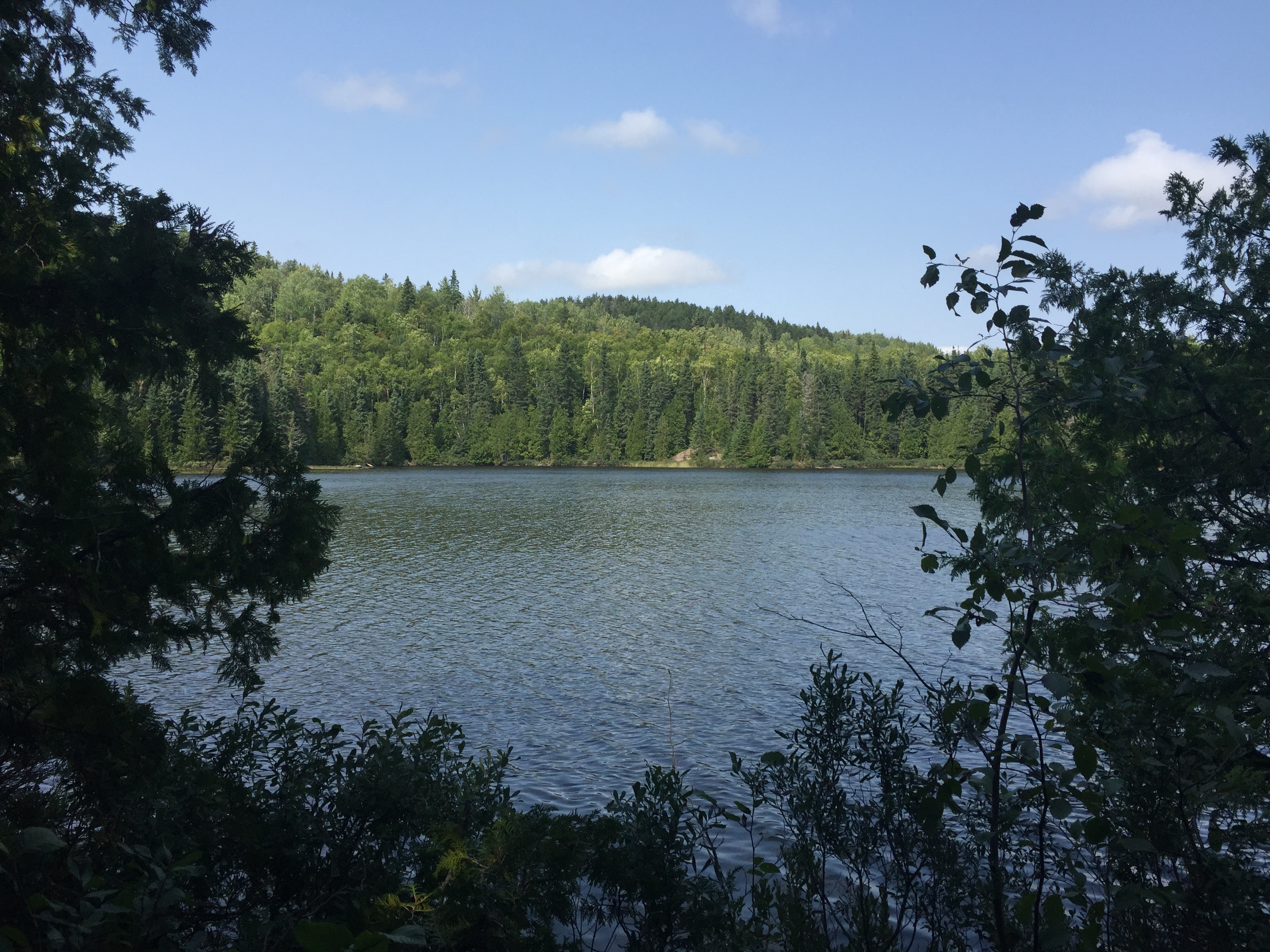
This is the view most visitors to Whale Lake remember. Many of these visitors think they are also looking at Eagle Mountain, but they aren't. This is a sister peak of Eagle Mountain and it lies just to its east. This peak is known as Point 2220. This mountain is about 80 feet shorter than Eagle Mountain at around 2,220 feet. Eagle Mountain is to the left of your view and not visible from this vantage point (August 2015).
Similar to the view above, but this is in early spring (April 2021).
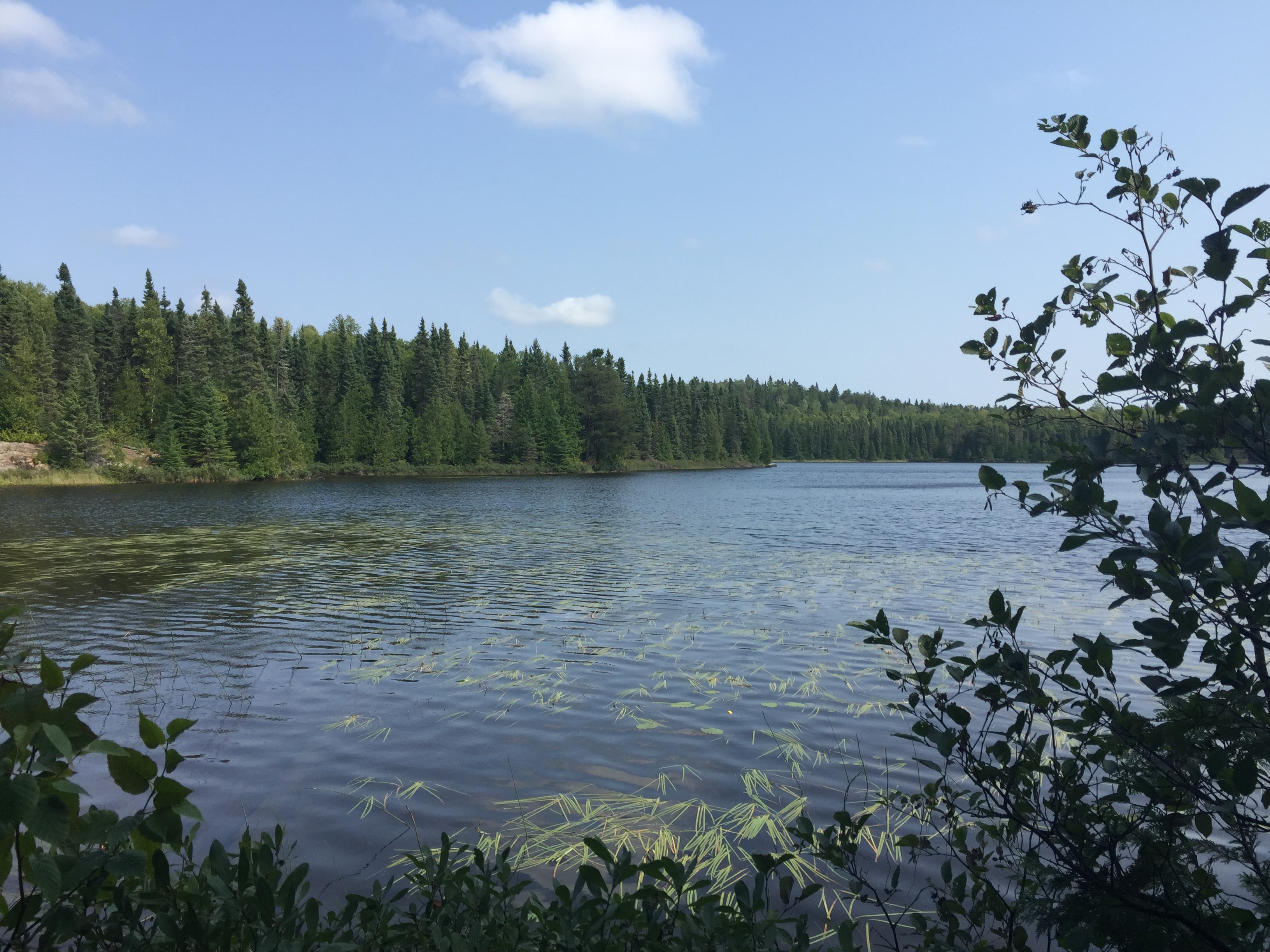
You can still see the unnamed mountain just above the trees from this view. You are now farther north up the trail around the middle point of the west shoreline of Whale Lake (August 2015).
About the same view as the image shown above (April 2021).
The view from a couple of locations along the shore of Whale Lake (April 2021).
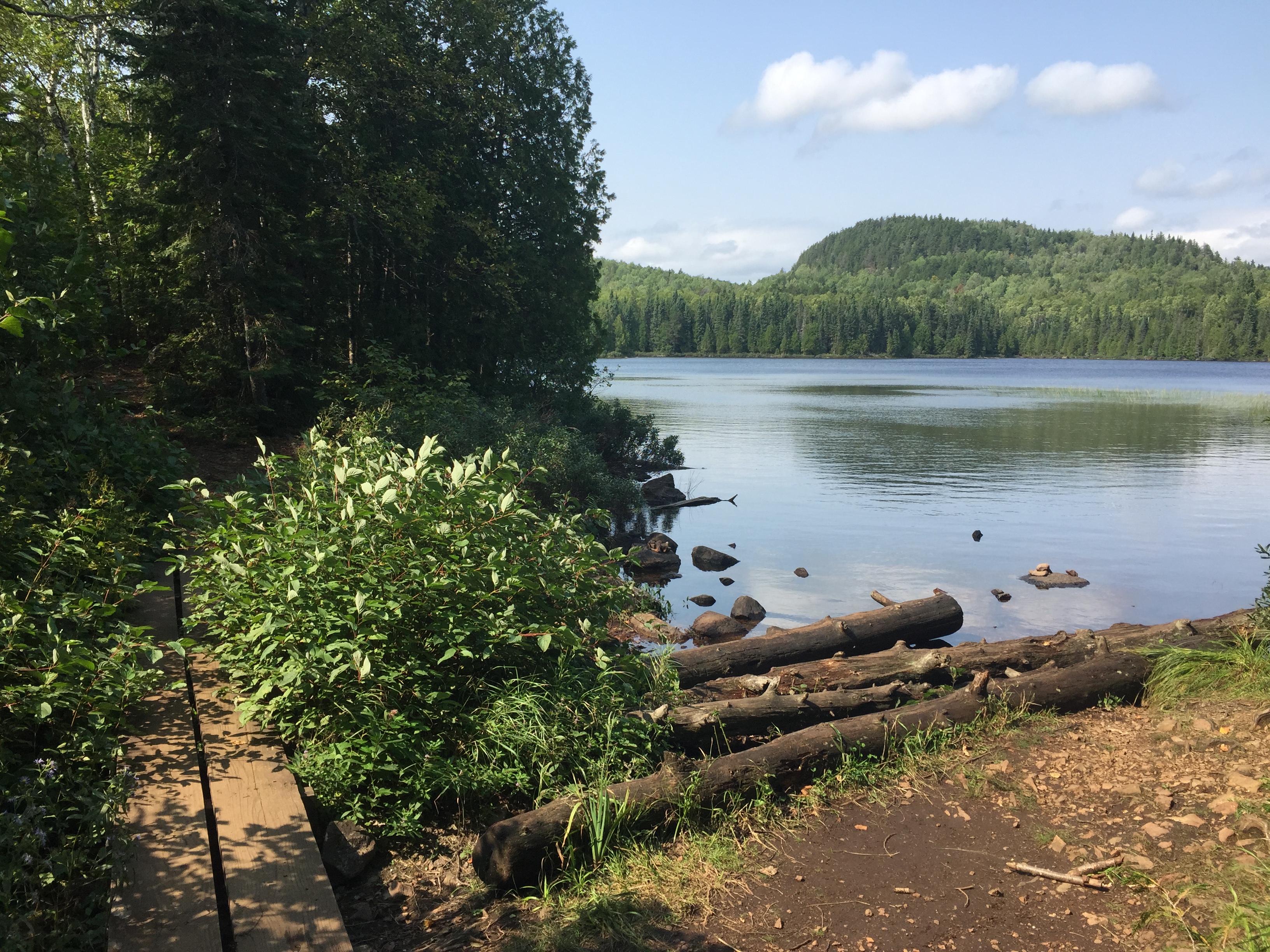
The view looking east from the northwest corner of Whale Lake near where the Eagle Mountain Trail intersects the Brule Lake Trail. You can just make out the campsite on the far left of your view. This campsite is along Whale Lake's north shore (August 2015).
From the campsite on Whale Lake's north shore, looking toward the southeast (August 2015).
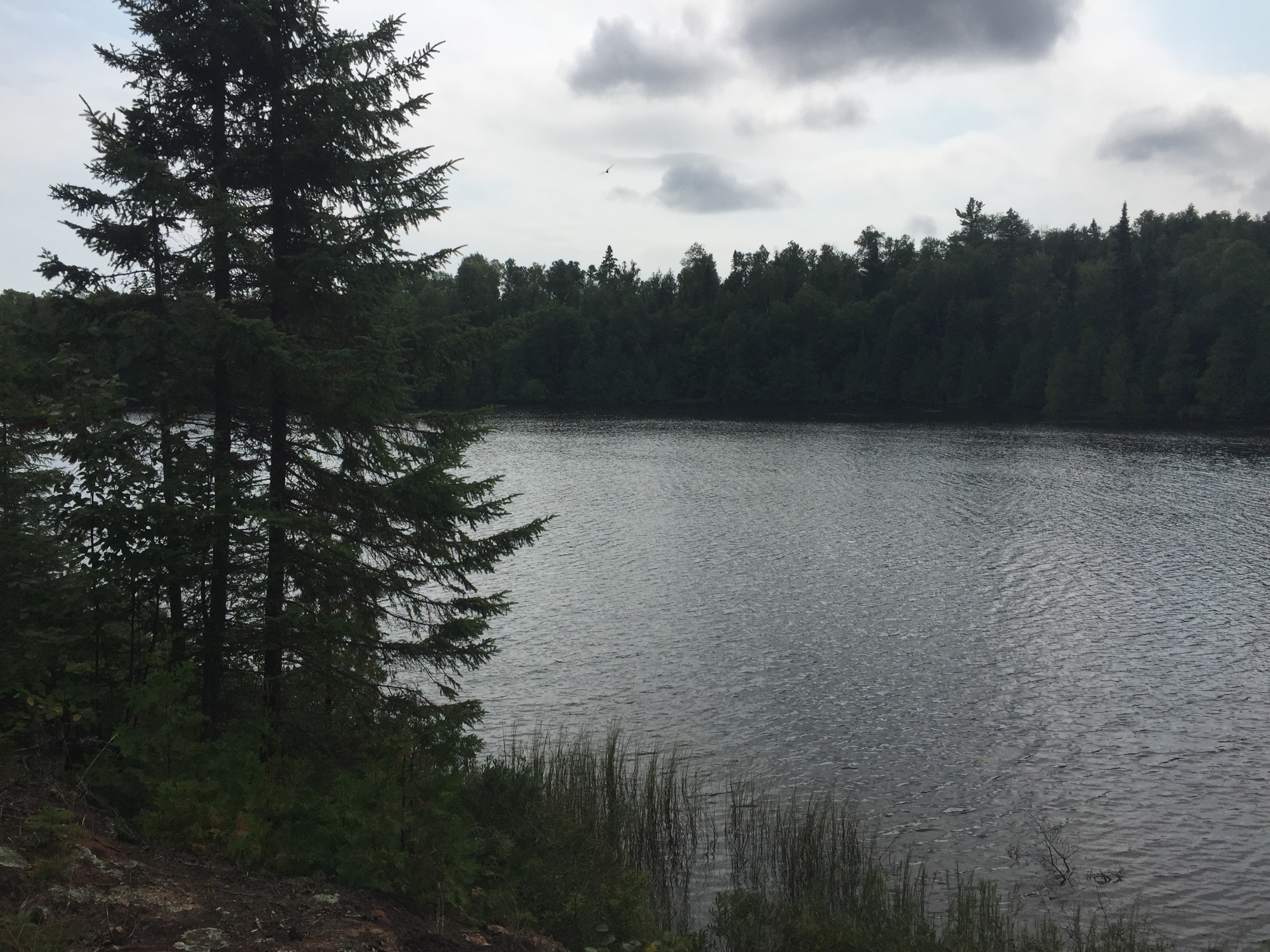
Whale Lake as seen from the northwest shore of the lake (August 2015).
This view is of Whale Lake as seen from its northwest shoreline (August 2015).
Route Connections for Whale Lake
From Whale Lake there are no route options. The lake is accessible from the Eagle Mountain Trail. You can follow that trail to its connection with the Brule Lake Trail. The trail has its trailhead near Brule Lake and Homer Lake.