South Wilder Lake
Tofte Ranger District
SOUTH WILDER LAKE CAMPSITES:
Campsite 1 (#2264) - Accessible from the Powwow Trail. West end of the lake on the north shoreline
Campsite 2 (#1748) - Was the westernmost campsite along the south shoreline (probably closed)
Campsite 3 (#1747) - Was the easternmost campsite along the south shoreline (maybe closed)
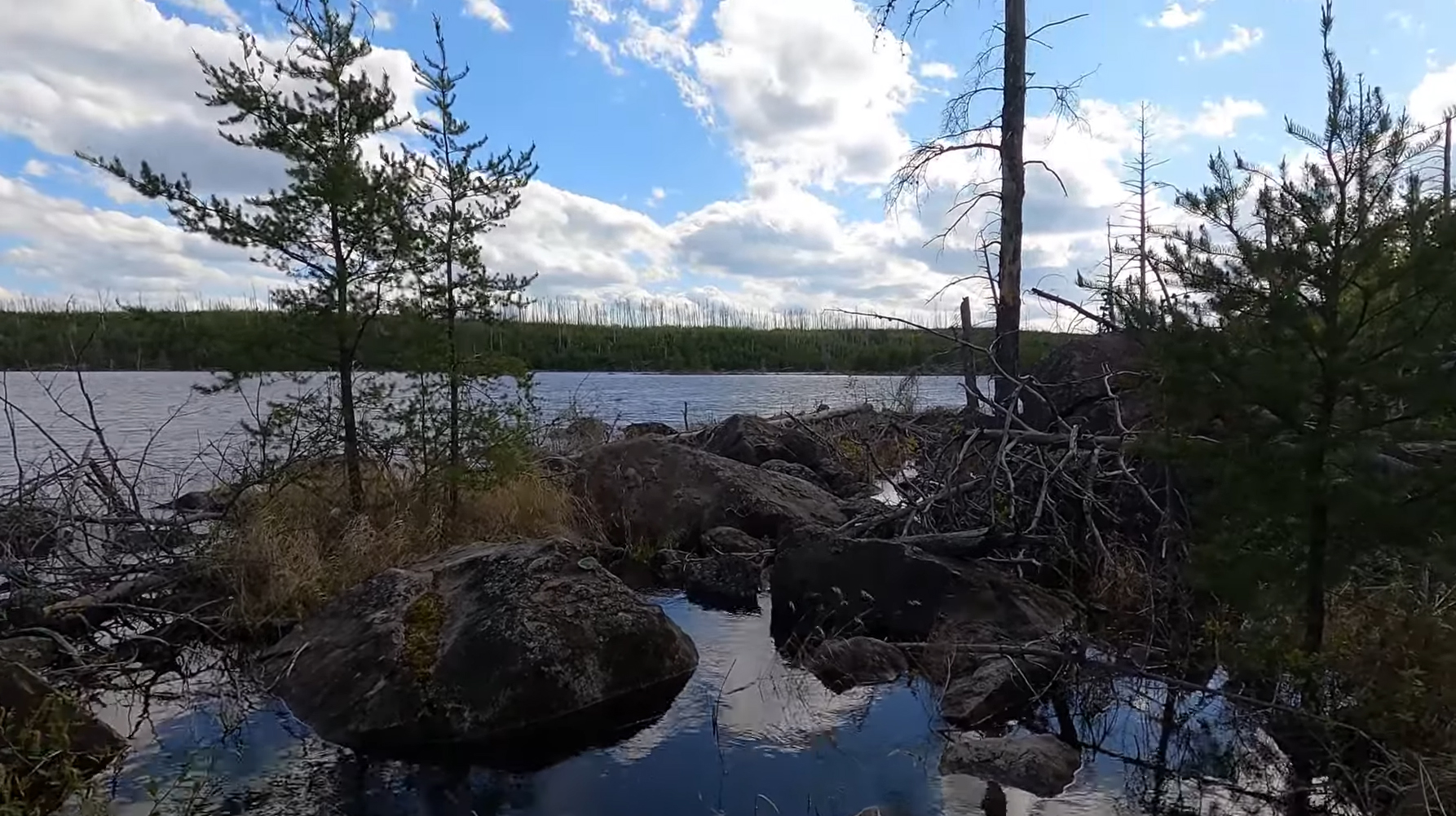
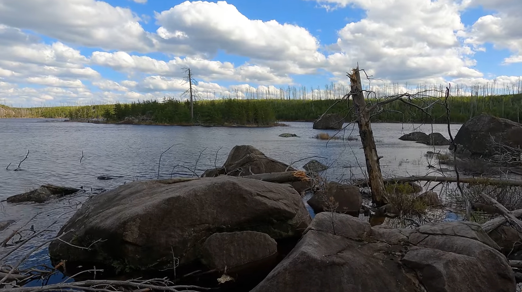
The 2011 Pagami Creek Fire ignited most of the forest along the shoreline of South Wilder Lake. None of the small islands that are sprinkled around the lake were spared either.
There only way for paddlers to get a canoe to this lake is by using the Powwow Trail as a portage. It is doable, but will be a strenuous endeavor.
The lake has stained water. Fishery contains northern pike, walleye and some bluegills.
Before the Pagami Creek Fire, there were three campsites on this lake. It is likely that two are now closed, having not been restored since the fire. One of them is open. The open campsite is on the west end of the lake along the north shoreline. However, this campsite is primarily for hikers of the Powwow Trail. There isn't a canoe landing at this campsite.
South Wilder Lake is the source of Wilder Creek. That creek flows out the western end of the lake and flows north to North Wilder Lake.
The Powwow Trail runs along the north shore of South Wilder Lake. The trail closely hugs the shoreline along most of the north shoreline.
Exploring South Wilder Lake
Click on the photos below to see the full resolution image - Use your browsers back button to close photo and return to this page.

View of the eastern end of the lake(May 25, 2024).

Image is of the easternmost island on South Wilder Lake (May 25, 2024).
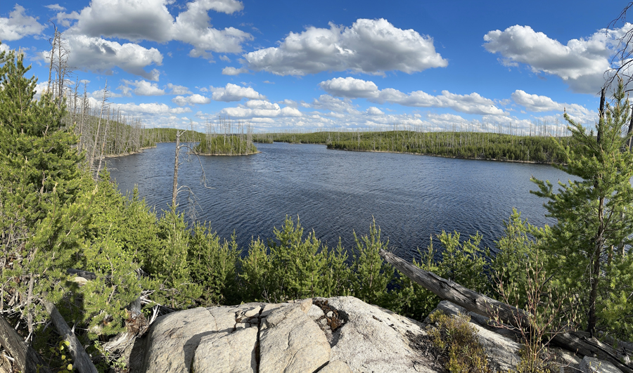
View from BWCA Campsite 2264 which is located on the north shoreline at the west end of the lake. This is looking toward the east/southeast (May 25, 2024).
Route Connections for South Wilder Lake
From South Wilder Lake you can portage using the Powwow Trail to North Wilder Lake. This will be a very rugged portage. The Powwow Trail runs along the north side of South Wilder Lake. This is the most difficult section of the Powwow Trail to hike.
Return to Top of Page
|