ROUTES/PORTAGES FROM PATH LAKE:
Access to: Powwow Trail
Path Lake
Tofte Ranger District
PATH LAKE CAMPSITE: Campsite 1 (#2262) - Only campsite on the lake and it's accessible from the Powwow Trail
All of the Path Lake shoreline was burned by the 2011 Pagami Creek Fire.
The Powwow Trail follows the western shoreline of the lake closely.
There is campsite located in the northwestern corner of the lake.
Rock of Ages Creek (may not be official name) flows through Path Lake. The creek enters the south end of the lake and exits the north end of the lake. That creek flows through a deep valley before flowing into Path Lake from Mirror Lake. There are lovely views of the creek from an elevated viewing position along the Powwow Trail.
Exploring Path Lake
Click on the photos below to see the full resolution image - Use your browsers back button to close photo and return to this page.
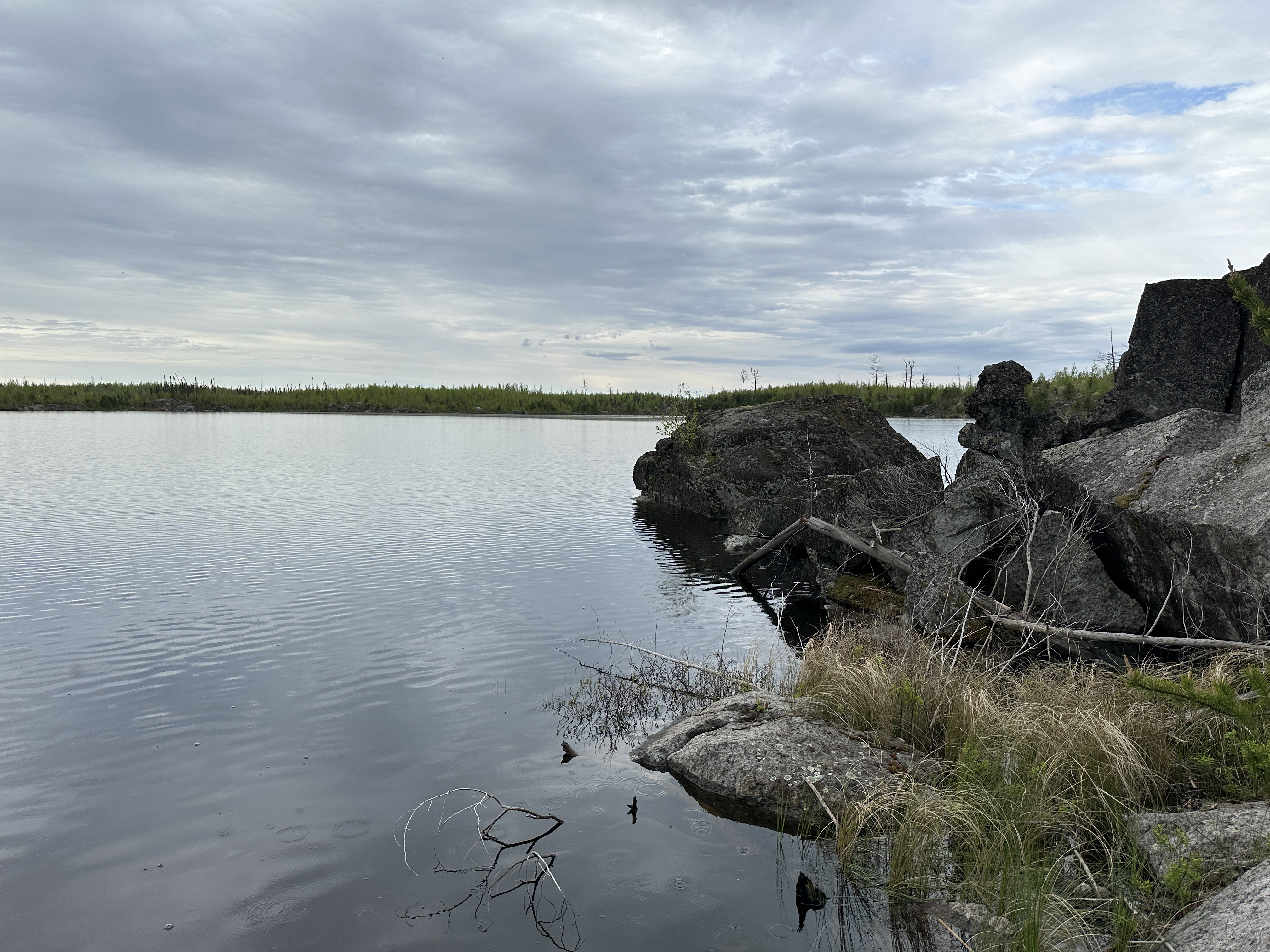
This image is of Path Lake as seen the lakes only campsite (May 26, 2024).
This video provides good views of Path Lake from the Powwow Hiking Trail (May 26, 2024).