Creek Length: About 1.5 miles. Probably starts at Violation Lake, flows through Cede Lake and then drains into Cherokee Lake.
Campsites: None
Wildlife Seen on Visit: Waterfowl, Grouse
Last Visited: May 26, 2016
Creek Elevation: Along its course, Cherokee Creek drops from 1,810 feet at its headwaters at Violation Lake (possible not headwaters), and drains into the south end of Cherokee Lake at 1,788 feet.
Water Clarity: N/A
ROUTES/PORTAGES FROM CHEROKEE CREEK:
To Cherokee Lake: Paddle In
To Cede Lake: Bushwhack about 20 rods
To Skoop Lake: Walk the 180 rod portage
Cherokee Creek
Tofte Ranger District
Cherokee Creek arises from a string of small lakes and flows a short ways to the east into Cherokee Lake. A scenic paddle. The creek is entirely navigable from the 180 rod Skoop Lake portage until it drains into Cherokee Lake, even during periods of drought. There may be a beaver dam or two to drag your gear over along the way. The creek is slow moving with a barely perceptible current.
If you decide to bushwhack to the west from the Skoop Lake portage, you soon come to Cede Lake. Beyond Cede Lake is Violation Lake. These first two lakes look reasonably accessible on the map and on satellite images, if you are up to it.
References:
Beymer, Robert, Boundary Waters Canoe Area – Volume 2 – Eastern Region (Berkeley: Wilderness Press, 2006), 58, 60, 133, 139, 151.
Pauly, Daniel, Exploring the Boundary Waters (Minneapolis: University of Minnesota Press, 2005), 251.
Click on the photos below to see the full resolution image - Use your browsers back button to close photo and return to this page.
PADDLING FROM THE SKOOP LAKE PORTAGE DOWNSTREAM TOWARD CHEROKEE LAKE
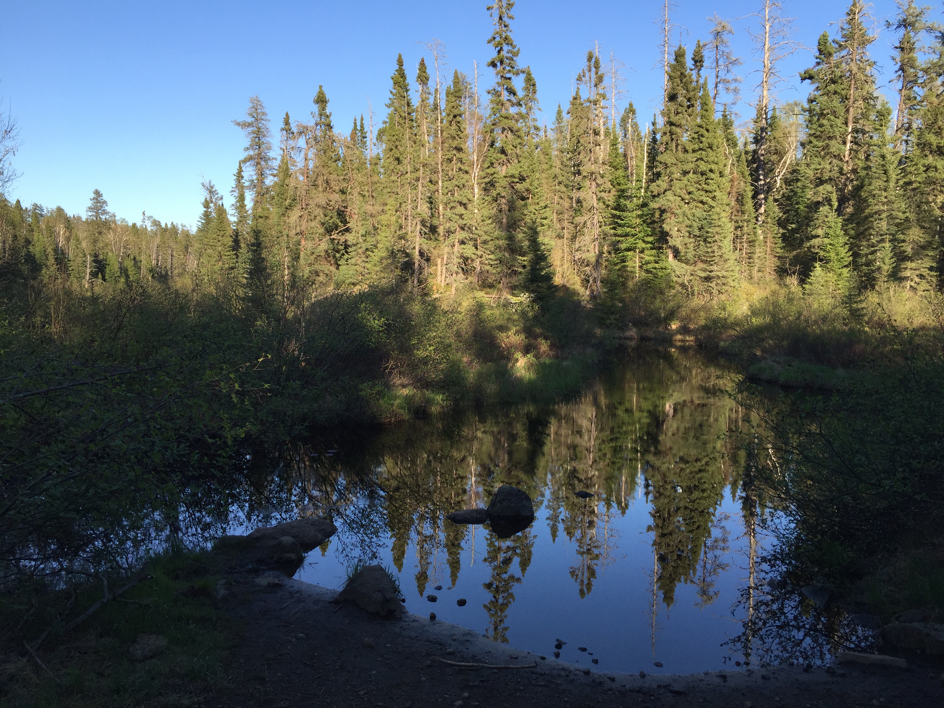
You are standing at the end of the Sloop Lake portage on Cherokee Creek. If you head to the right, you will be paddling downstream towards Cherokee Lake. Paddling left, by heading up the creek, which is visible just right of center, you can paddle and bushwhack your way up to Cede Lake. The route to Cede Lake is not a maintained route in the BWCA.
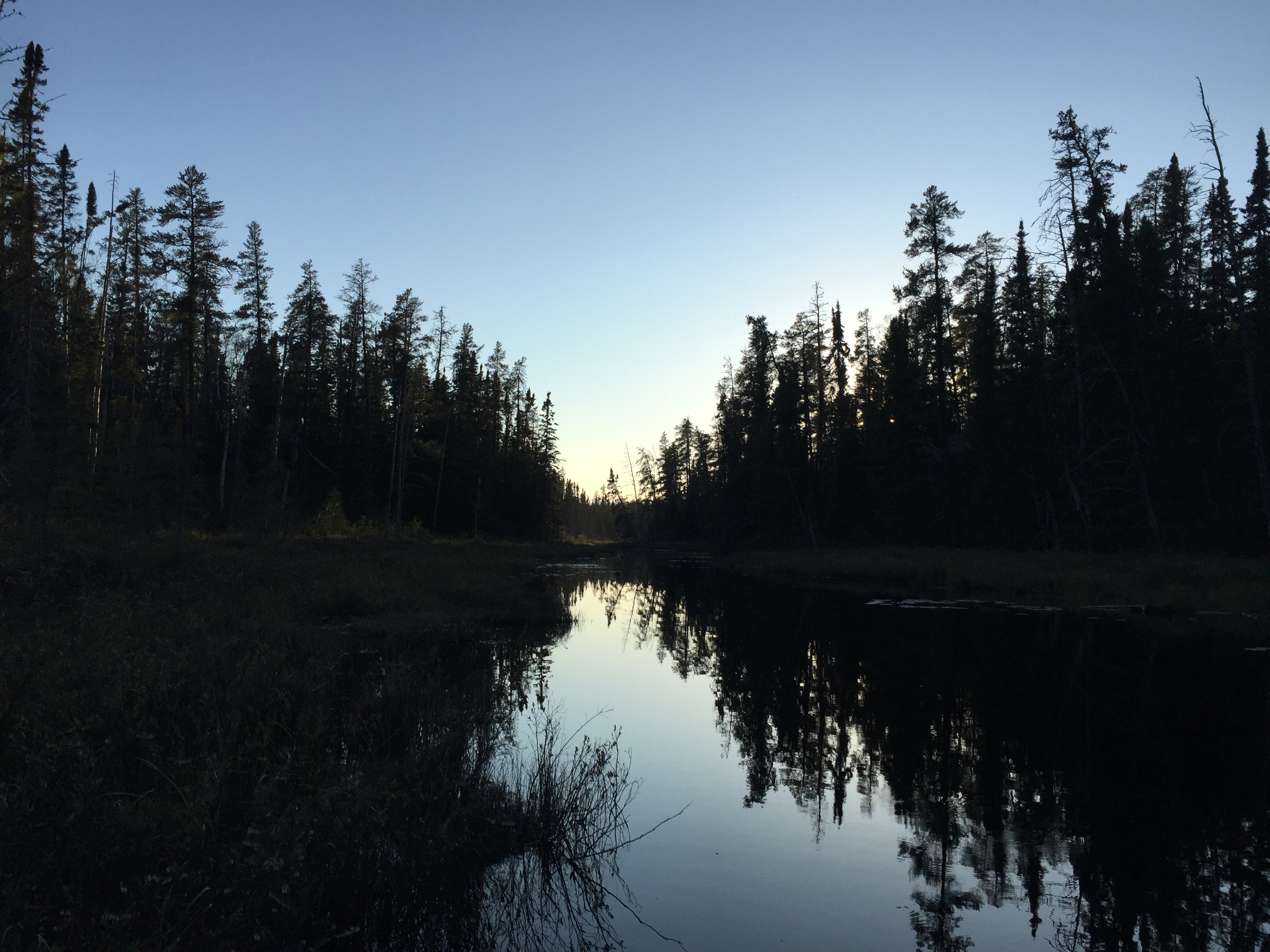
Starting off from the Skoop Lake portage, paddle in the late evening down Cherokee Creek toward Cherokee Lake.
A view along Cherokee Creek. The creek is passable along the entire route to Cherokee Lake. There may be a beaver dam or two to liftover though.
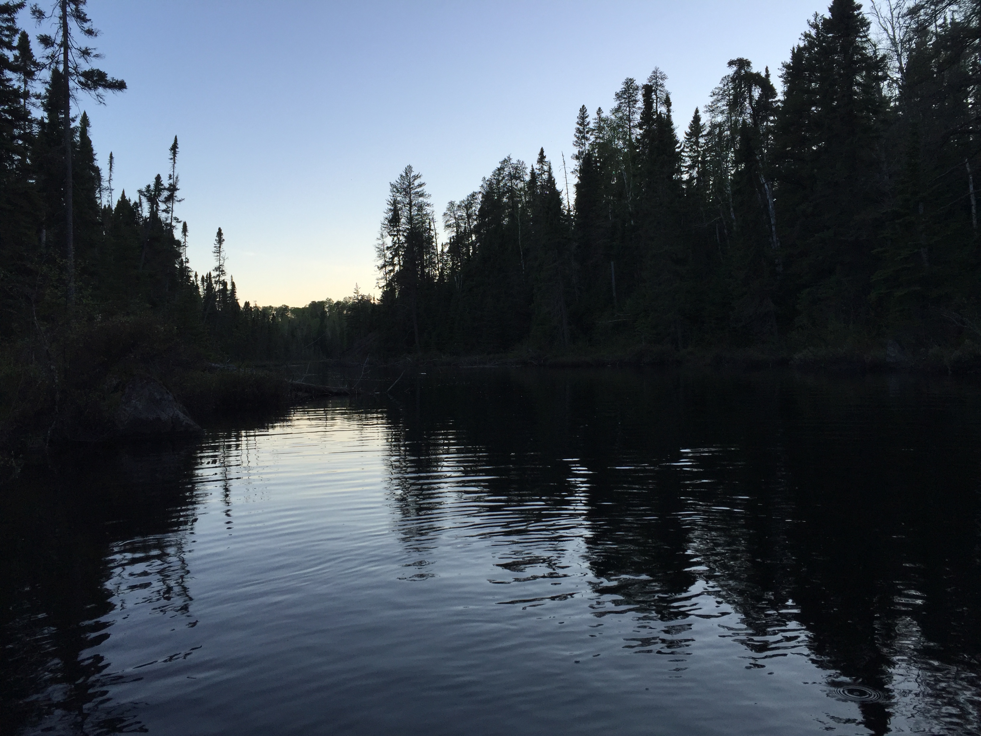
Nearing sunset as you travel along Cherokee Creek.
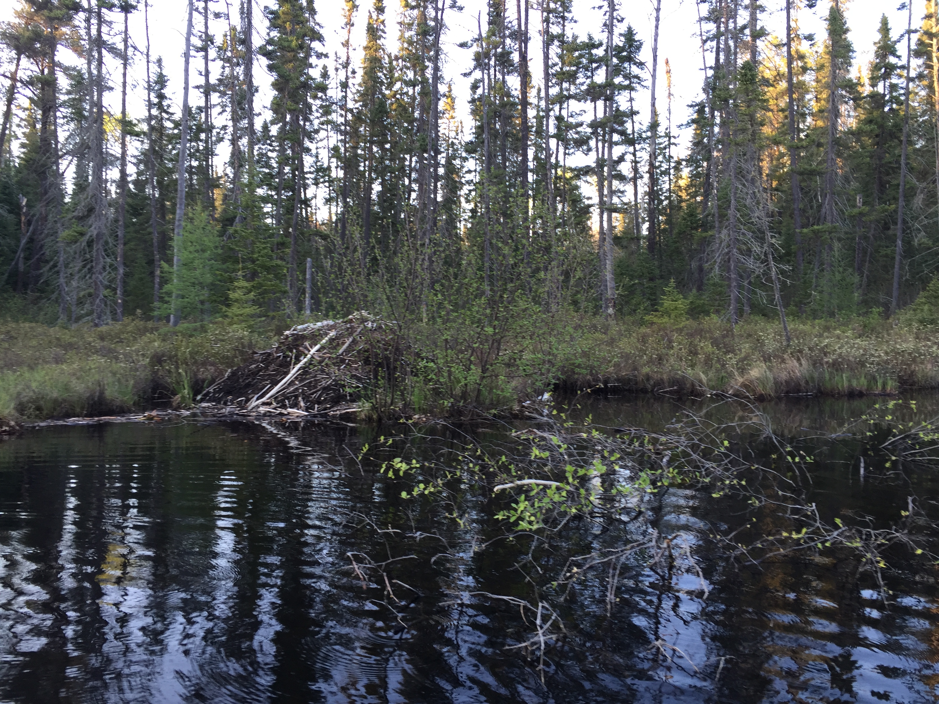
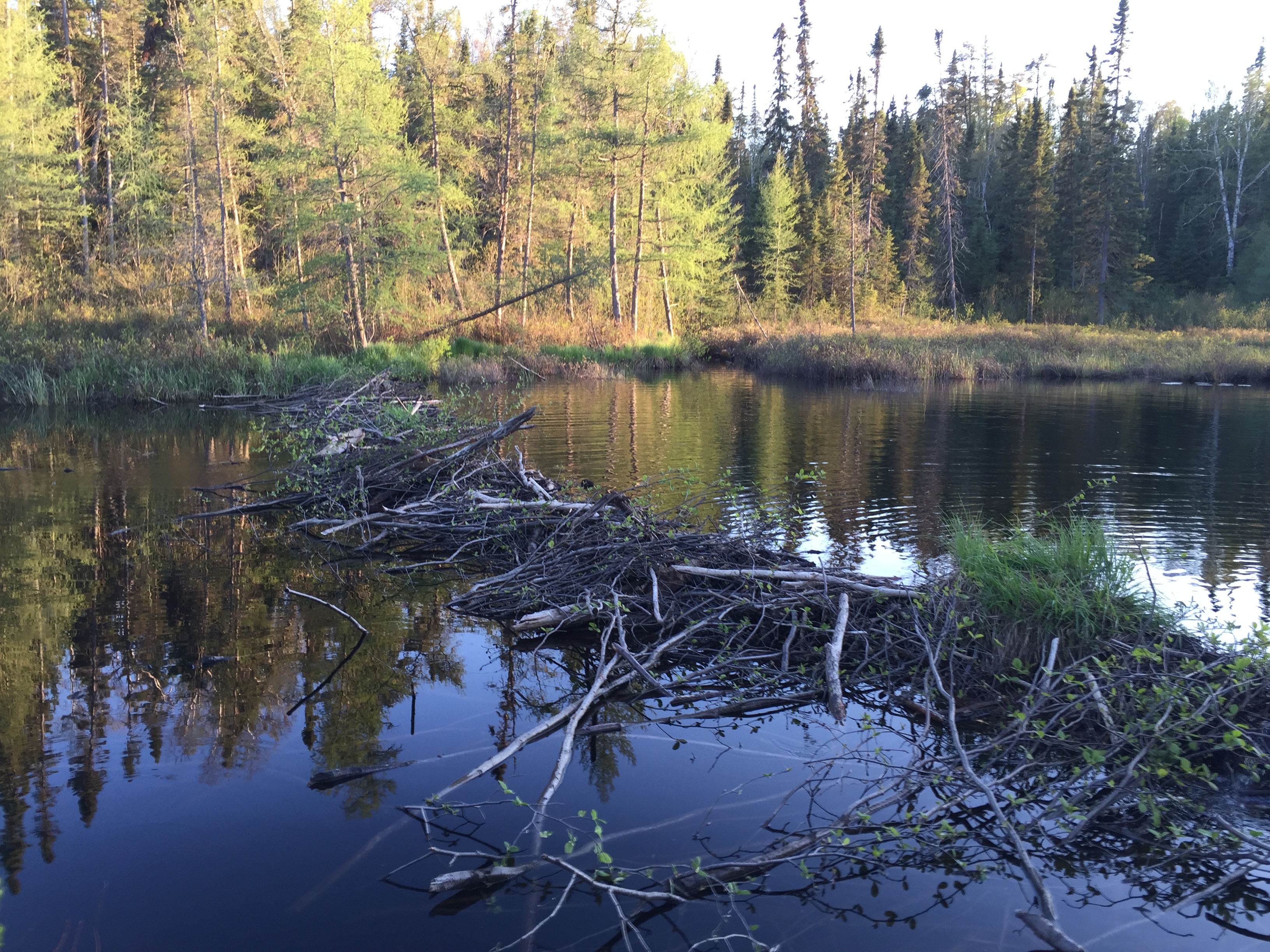
A beaver's lodge and the early beginnings of a beaver dam forming in the foreground.
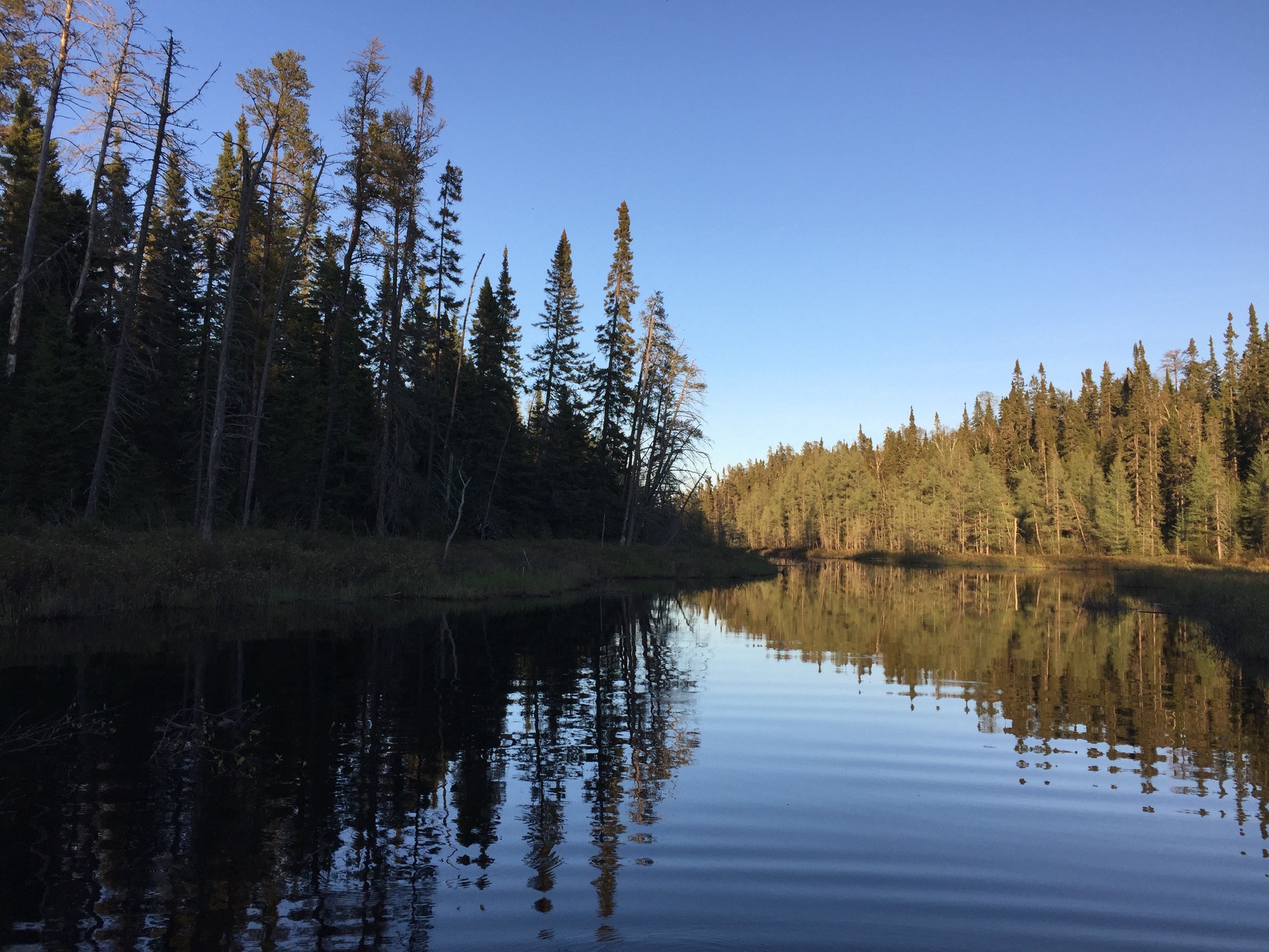
The widest section of Cherokee Creek not far from its mouth at Cherokee Lake.
A low beaver dam that requires a quick liftover to get past. This is just upstream from Cherokee Lake.
Turning to look back up Cherokee Creek from its mouth at Cherokee Lake right around sunset. The view is to the west/northwest. Paddle into Cherokee Lake -or- Explore Another Route ***********************************************END OF ROUTE***********************************************
Route Connections for Cherokee Creek
From Cherokee Creek, you can portage to Skoop Lake. You can also paddle into Cherokee Lake. Going west from the Skoop Lake portage it is possible to bushwhack to Cede Lake.