Last Visited: August 4, 2025;
Previous Visit(s): May 16, 2021, October 8, 2019, May 27, 2016
Maps: Fisher F-5; McKenzie #20
Daily Quota: 11
Fire History:
Nearest Ranger Station: Tofte Ranger Station, Tofte, MN along Hwy. 61 on the North Shore
Portage Length from Parking Lot: 0 rods
Restroom at Entry Point: Yes
Entry Point 38 - Sawbill Lake
Tofte Ranger District
This entry point is next to Sawbill Canoe Outfitters at the end of the Sawbill Trail (County Road 2). The public parking lot is across the gravel road from the main lodge. The parking lot is a couple hundred yards from the lake, but there is an unloading area right next to the water. There is also a dock here. The Sawbill Lake Campground is also located at this entry point. There are about 50 campsites at this campground and it provides a good place to spend the night before your trip. It is almost always busy at this entry point during the height of the canoeing season.
It is 23.5 miles from Tofte, Minnesota to Sawbill Lake. All of the drive is along the Sawbill Trail. Only the first 11 miles closest to Tofte is paved. The rest is gravel.
There are four canoe routes out of Sawbill Lake. One to the west into Alton Lake just up the shore from the put in. Another route to the west is into the Kelso River and Kelso Lake beyond. This route then heads off to the north. Along the east shore, a bit under two miles north of the entry point, is a portage of 100 rods into Smoke Lake. The fourth route involves paddling all the way to the north end of the lake and portaging into Ada Creek. This is the way to go if you are heading to Cherokee Lake, a popular destination.
If you are interested in the history of Sawbill Lake, check out the book by Mary Alice Hansen - Sawbill: History and Tales.
Exploring the Entry Point
Click on the photos below to see the full resolution image - Use your browsers back button to close photo and return to this page.
A Tour of the Sawbill Lake Entry Point area beginning at the dock on Sawbill Lake and walking up the road to the public parking lot next to the campground store (August 4, 2025).
This is older video footage of this entry point (October 8, 2019.)
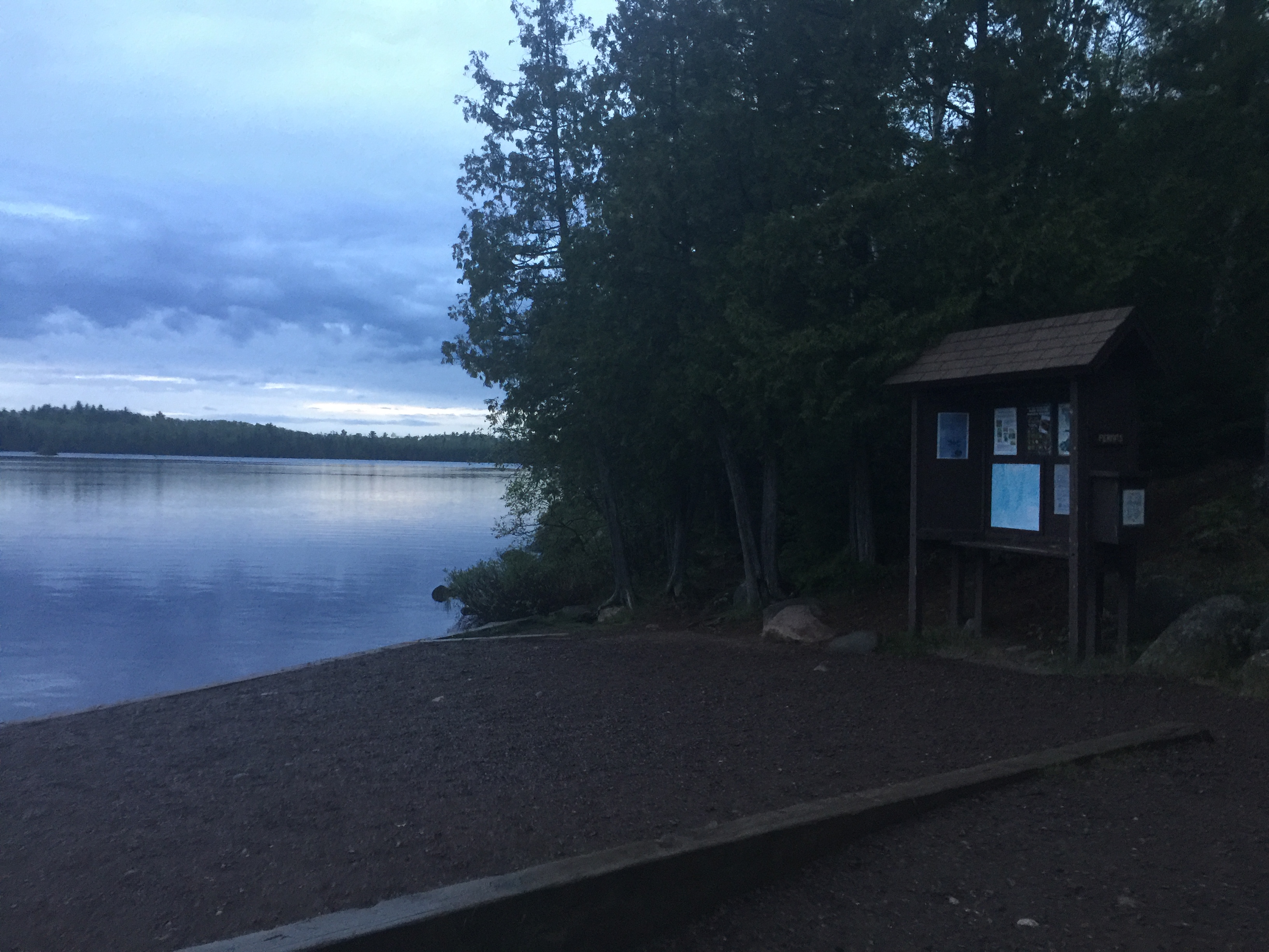
Walking around the BWCA Entry Point 38 - Sawbill Lake near nightfall (May 27, 2016).
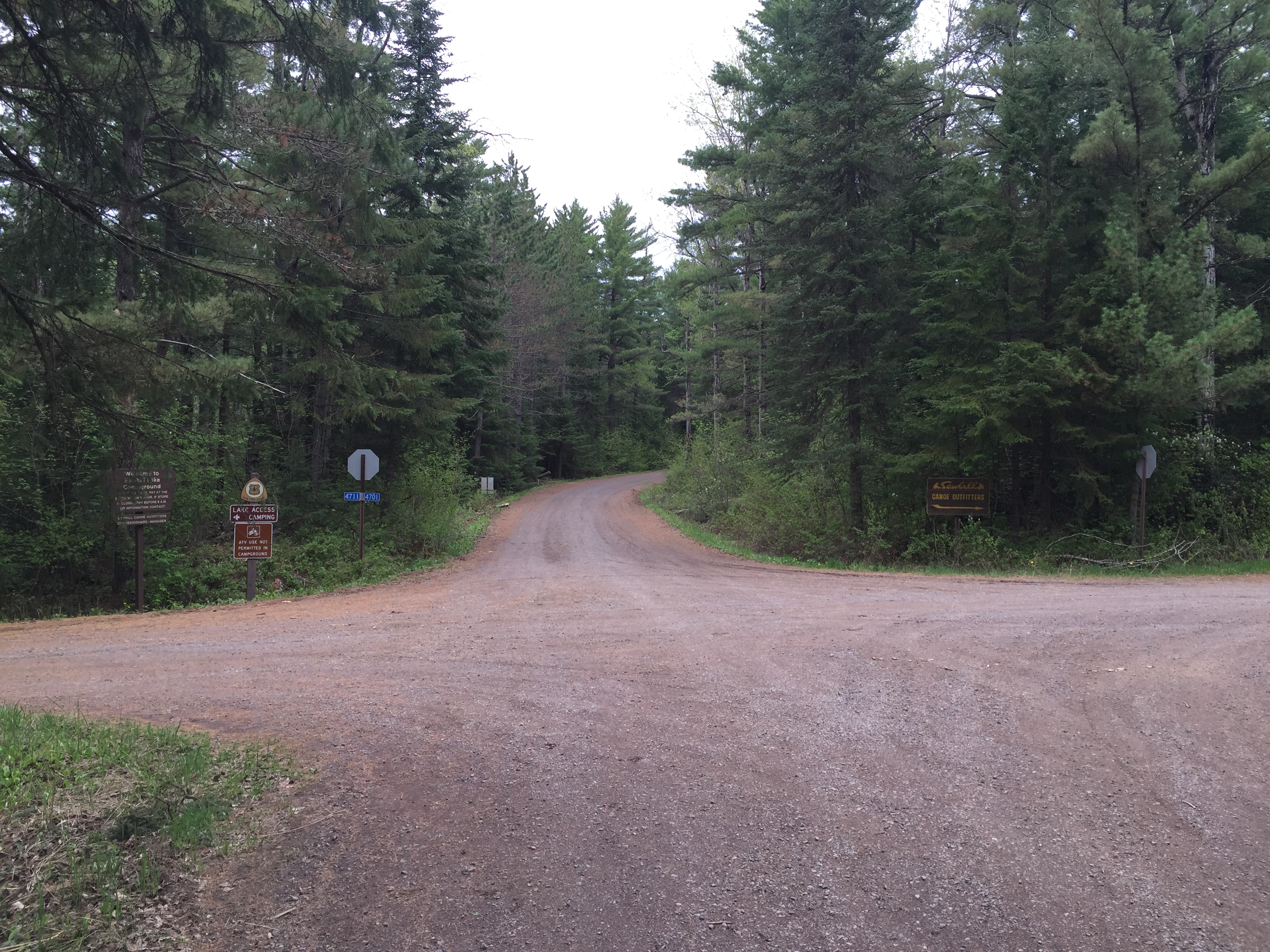
At the end of the Sawbill Trail, you come to this four way intersection. To the right is the public parking area for this entry point and the main lodge for Sawbill Canoe Outfitters, which id directly across the road from it. To the left is the road down to Sawbill Lake (maybe 150 yards) and an unloading area (you don't have to carry all your stuff from the parking lot). Straight ahead is the Sawbill Lake Campground run by the National Forest Service (Sawbill Canoe Outfitters are the hosts for this campground.). (October 8, 2019.)
(Almost the same view, but this is May 27, 2016.)
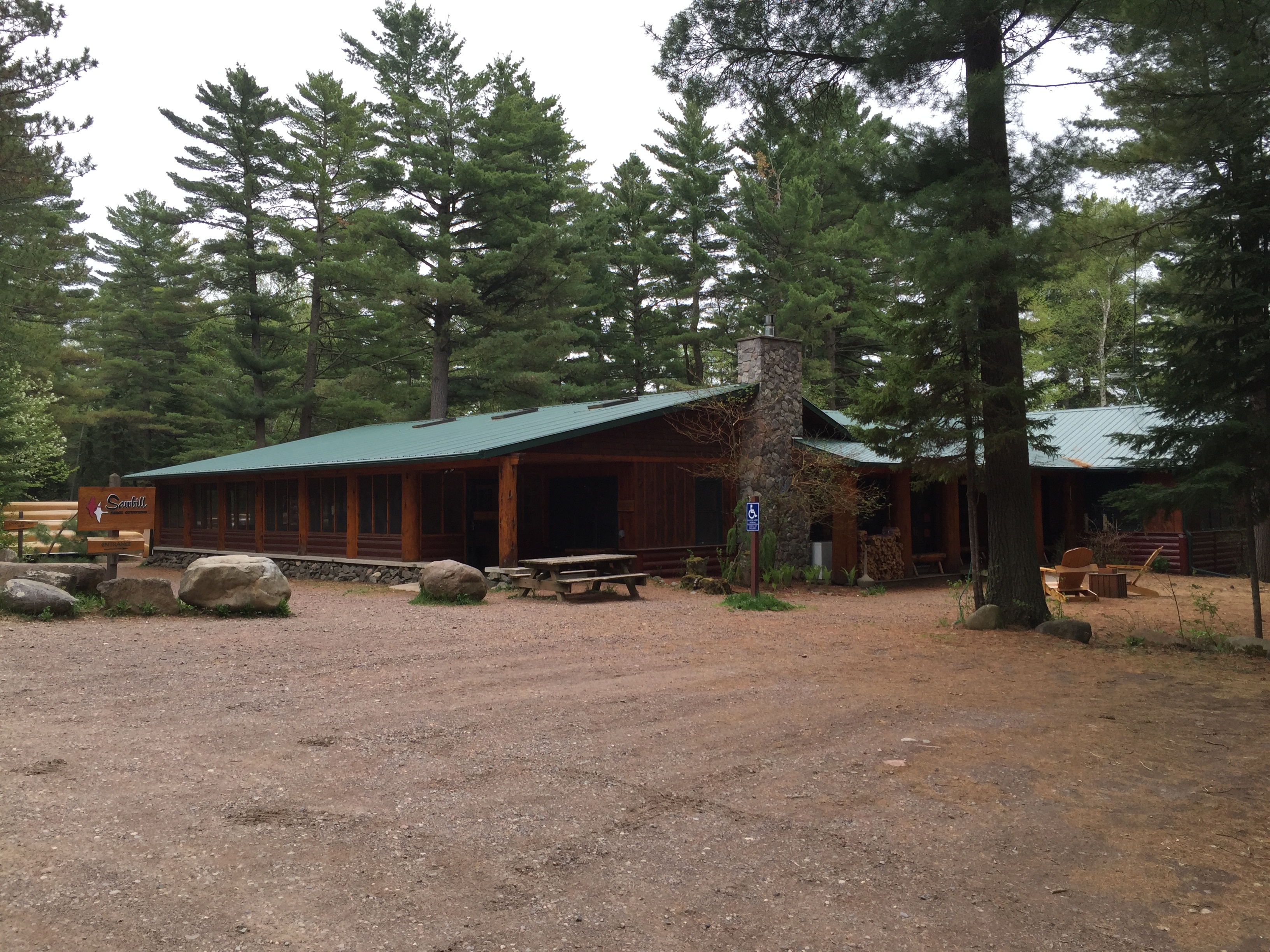
The public parking area for this entry point is on the left, just out of sight. The Sawbill Canoe Outfitters store is on your right. (October 8, 2019.)
(A view of the store on May 27, 2016.)
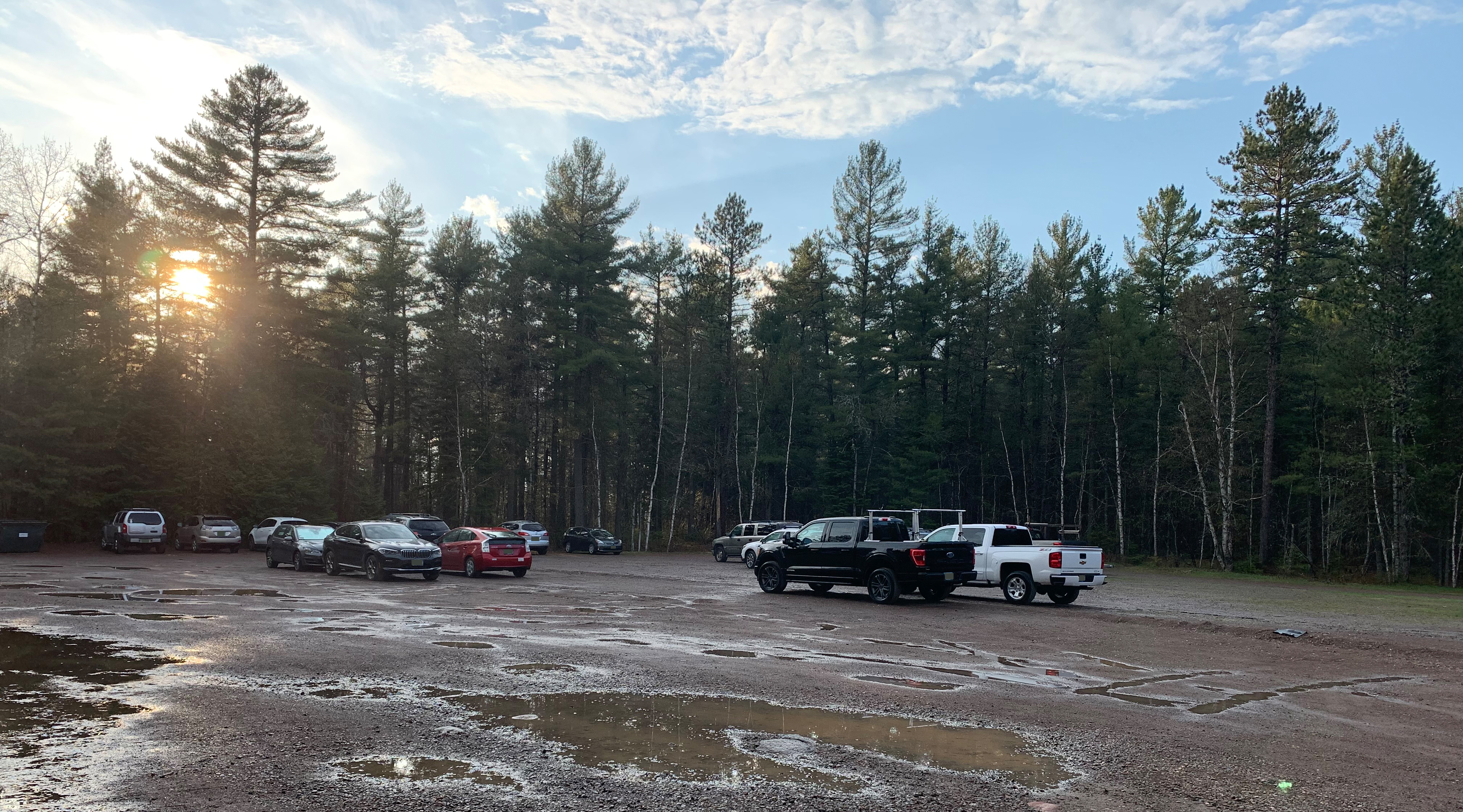
The large parking lot next to the Sawbill Canoe Outfitters building (May 16, 2021).
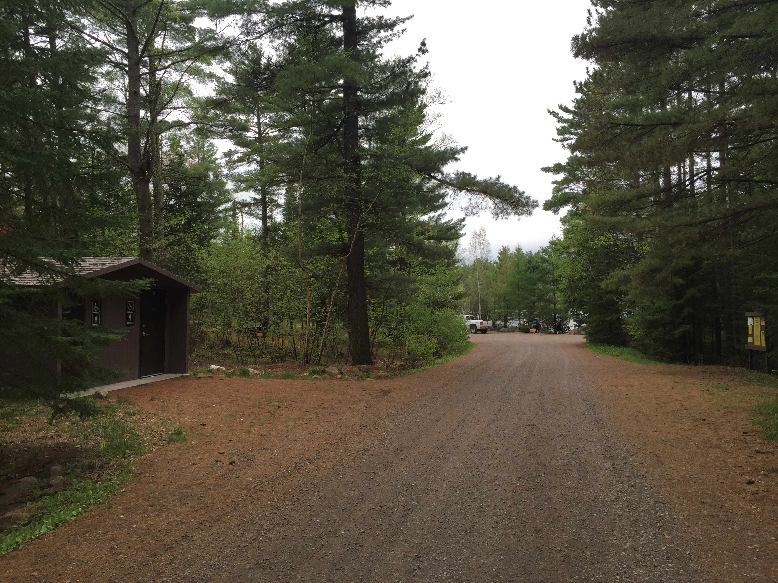
The road down to Sawbill Lake and the unloading area. Restrooms here to your left. The unloading area by the lake is just visible in the distance. (This is on October 8, 2019.)
(Similar view to the one above, but this is on May 27, 2016.)
The commonly seen bulletin board by the lake. This is where you can find any special notices. The box on the right side is used to fill out self-service day permits if you are only entering the BWCA for the day and not camping (October 8, 2019).
(The old bulletin board that was still here on May 27, 2016.)
A view of the very south end of Sawbill Lake and the dock located at this entry point (May 27, 2016).
Now that you've reached the shore of the lake, visit:SAWBILL LAKE