Burntside Lake
LaCroix Ranger District
BURNTSIDE LAKE CAMPSITES (all these campsites are outside of the BWCA - no permit required to camp at them):
Campsite 1 (#2123): First campsite east of the Crab Lake portage
Campsite 2 (#2122): Second campsite east of the Crab Lake portage in the back of a long bay
Campsite 3 (#2121): Due west of the Chant Lake portage
Campsite 4 (#2119): First campsite south of the Chant Lake portage
Campsite 5 (#2118): Near the Twin Lakes portage
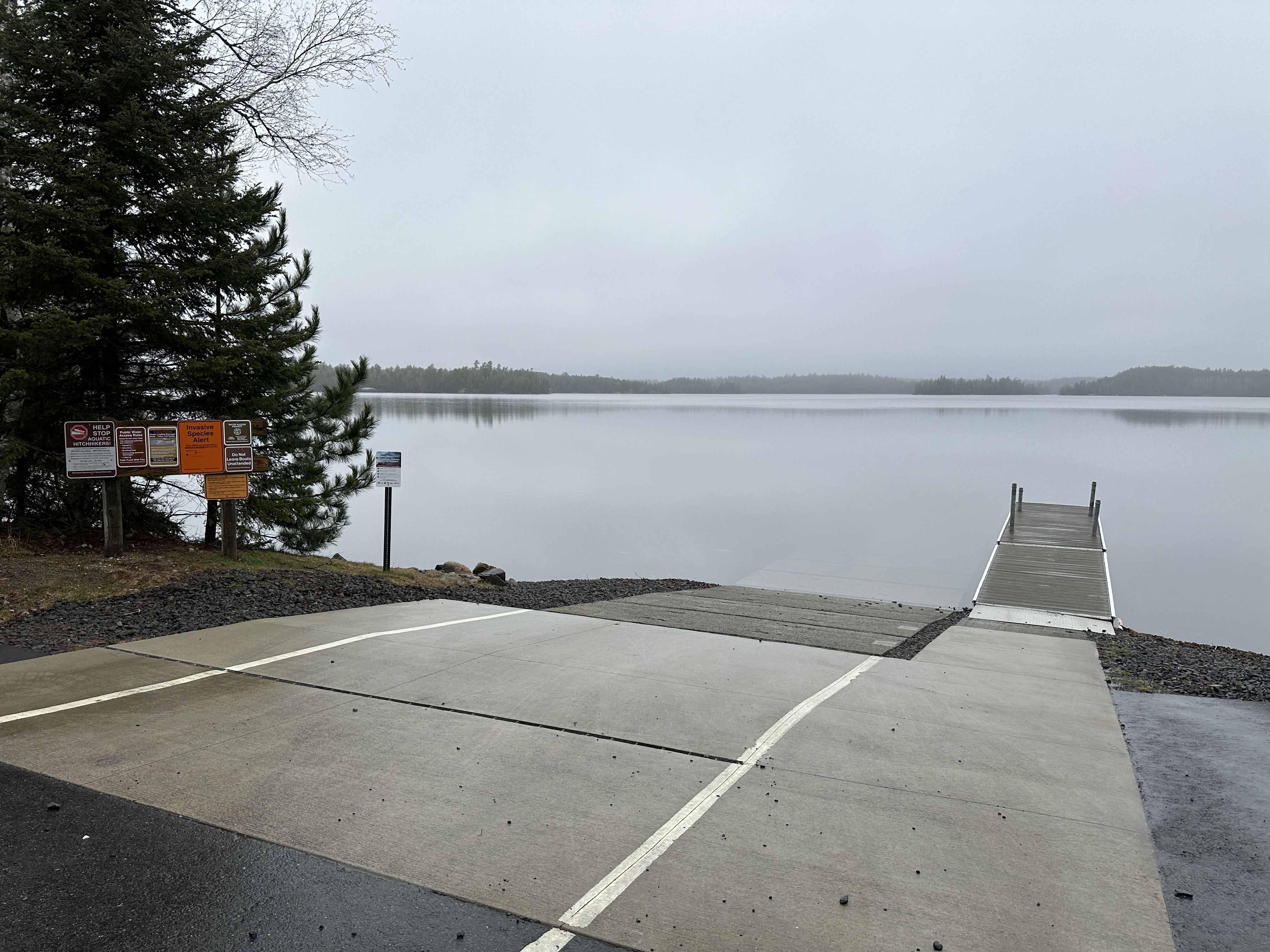
None of Burntside Lake is within in the Boundary Waters Canoe Area. However the lakes does serve as the access for the BWCA Crab Lake entry point. The typical starting point for reaching that entry point is the Burntside Lake Public Water on the south shoreline of the lake. This access point is located off Van Vac Road. From the public access, it's about a 2.8-mile paddle to the start of the 405 rod Crab Lake portage. Motorboats are allowed on Burntside Lake.
The clear waters of Burntside Lake hold many species of gamefish. The lake is a two-story fishery, so both warm and cold water fish species are present.
The waters of Burntside Lake flow out of the southwest corner of the lake via the Burntside River downstream to Shagawa Lake. Several creeks feed the lake, including Tamarack Creek and Crab Creek. A small creek also flows in from Slim Lake.
Exploring Burntside Lake
Click on the photos below to see the full resolution image - Use your browsers back button to close photo and return to this page.

A look at the Burntside Lake Public Water Access.
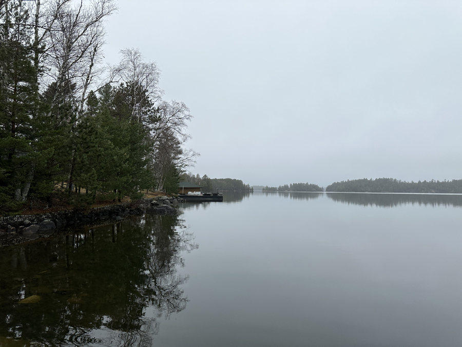
Looking west from the entry point landing. To give a sense of distance, that island just to the right of the center of your view (which is called Waters Island) is 0.7-miles away. The start of the Crab Lake portage is 2.1-miles beyond that in roughly the same direction.
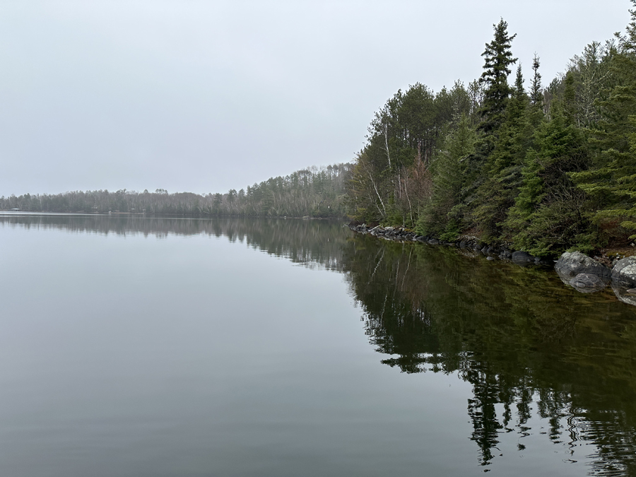
A look to the east from the dock at the public access off Van Vac Road.
Route Connections for Burntside Lake
From Burntside Lake you can portage to Crab Lake, Chant Lake, Little Long Lake and the Twin Lakes. The BWCA Entry Point 4 - Crab Lake landing is also on Burntside Lake.
Return to Top of Page
|