Range River
Kawishiwi Ranger District
This river is only navigable from the 10 rod portage downstream to Basswood Lake. There is one other portage along this river between the 10 rod portage and Basswood Lake that isn't shown on maps, but is obvious. That portage is about 15 rods long. There is often a beaver dam near this portage.
You can get a nice glimpse of the river right after it flows out of Range Lake along the Sandpit Lake to Range Lake portage. There is a pretty set of rapids visible there in the forest.
References:
Beymer, Robert, Boundary Waters Canoe Area – Volume 1 – Western Region (Berkeley: Wilderness Press, 2006), 135, 140.
Traveling the Range River (downstream)
Click on the photos below to see the full resolution image - Use your browsers back button to close photo and return to this page.

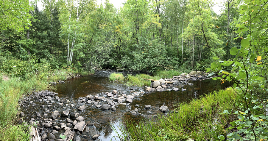
A scenic little cascade shortly after the Range River leaves Range Lake. This location is found about 10 rods from Range Lake down the Sandpit Lake to Range Lake portage.

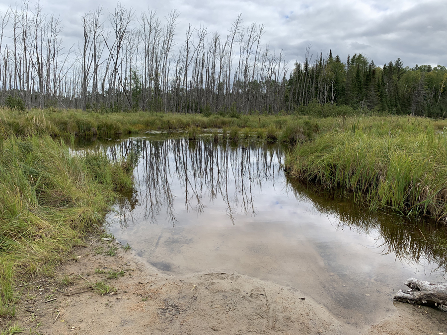
A fine sandy portage landing. This is at the end of the 10 rod portage which you turn onto from the Sandpit Lake to Range Lake portage. This intersection is only about 15 rods from Sandpit Lake. Once you put your canoe in the water, you'll head to the left.

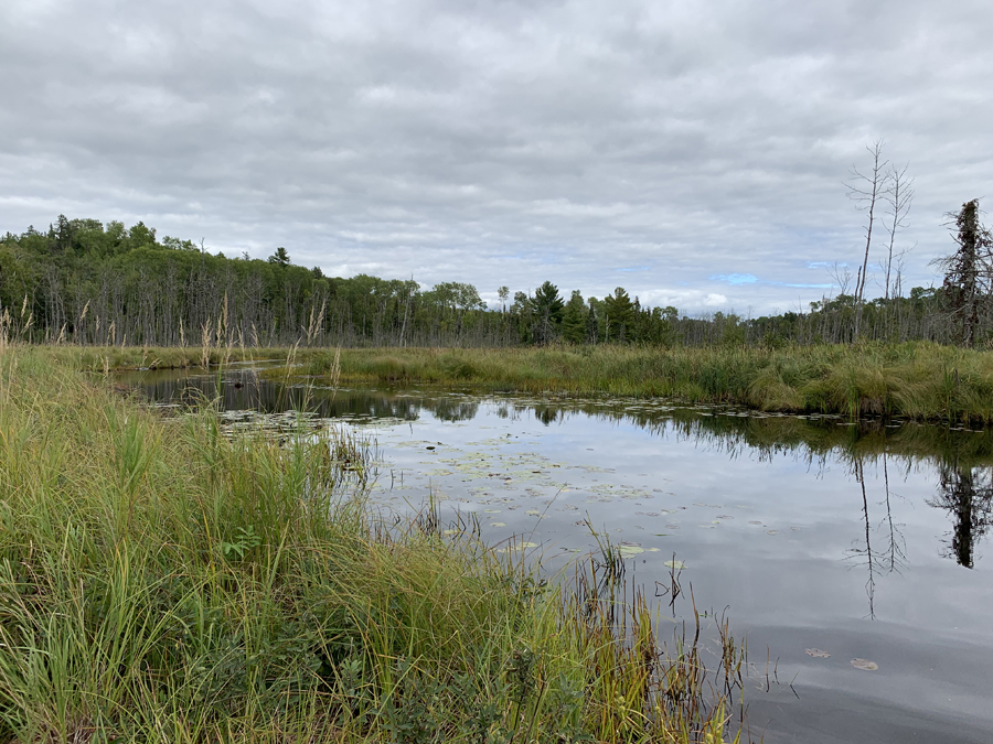
View downstream of the Range River. This is the direction you will go when heading to Basswood Lake.

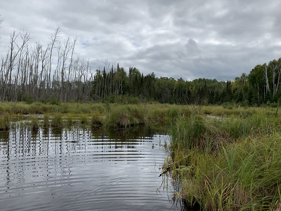
Looking upstream from the portage landing (to the right). You probably won't be going this way as Basswood Lake is in the other direction, so go left.
Route Connections for Range River
From the Range River, you can paddle into Jackfish Bay on Basswood Lake. You can also take the 10 rod portage to the 160 rod portage between Range Lake and Sandpit Lake. Sandpit Lake is to the east (right) and Range Lake is to the west (left) from this portage intersection.
Return to Top of Page
|

