Much of the lakes surface is covered by some amount of vegetation by late summer. The lake is shallow throughout, with the southeastern bay of the lake being the deepest part. Several tiny islands and large boulders dot the lake. There are no campsites on this lake. Madden Creek flows into the lake from Wood Lake and exits the lake out its northern point as it winds its way to Wind Bay on Basswood Lake to the north. It may be possible to bushwhack this creek during high water.
Both portages into the lake are well worn and easy to follow. The fairly long portage to Good Lake can get muddy though.
Fishing surveys show a good population of northern pike and yellow perch. There are some good-sized pike in this lake. No data on the official depth for the lake, but it probably isn't much over 10 feet. Peat bog is found along many stretches of the lakes shoreline.
Click on the photos below to see the full resolution image - Use your browsers back button to close photo and return to this page.
PADDLING FROM THE WOOD LAKE PORTAGE TO THE GOOD LAKE PORTAGE
Looking at Hula Lake from the Wood Lake portage landing. Madden Creek is flowing into the lake on the left of this photo (June 30, 2024).
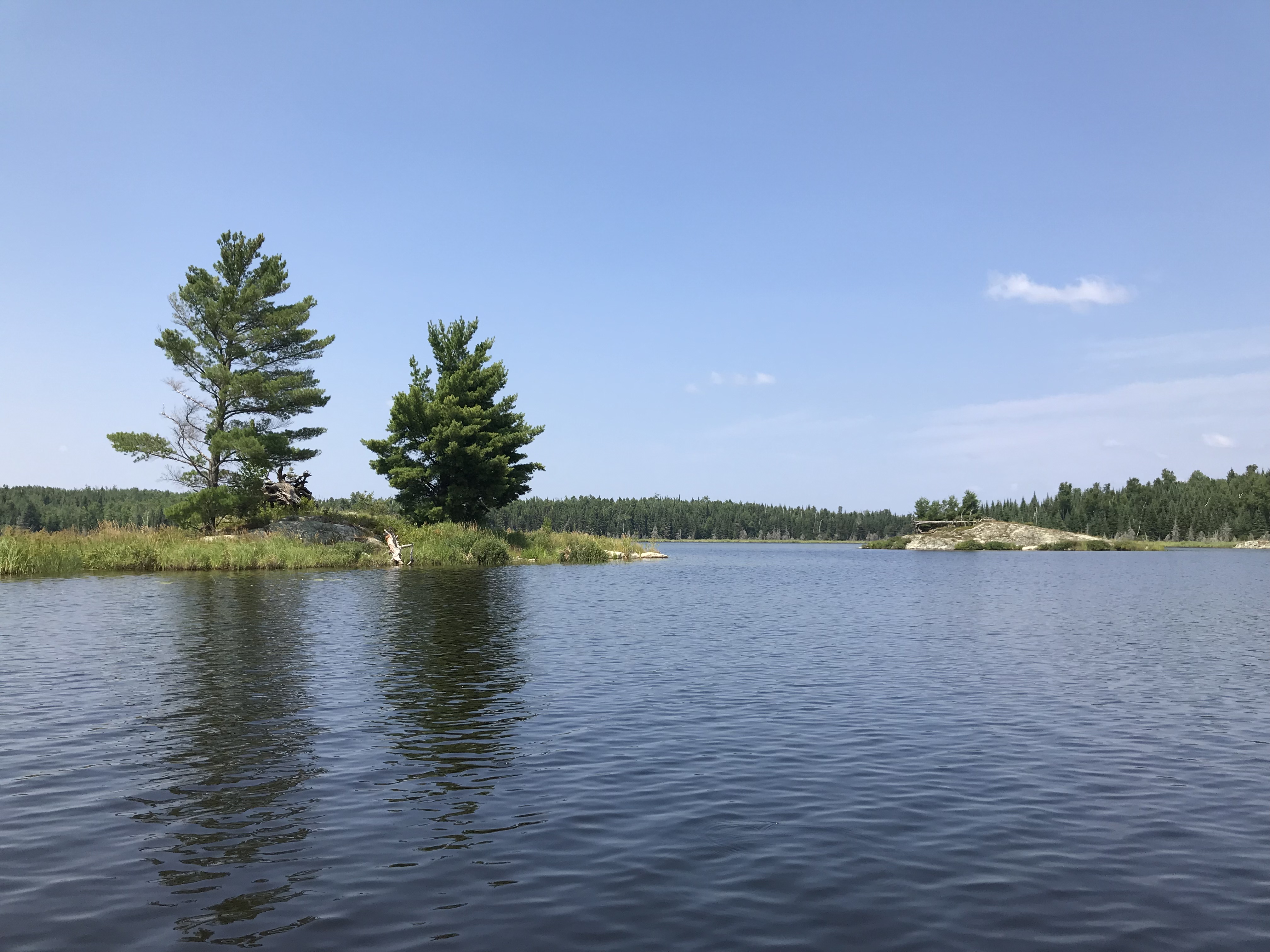
A look at a couple of the four tiny islands in the middle of Hula Lake (July 22, 2018).
Paddling the most direct route between the two portages (June 30, 2024).
Older video footage of the route across Hula Lake. Paddling across Hula Lake beginning from the Wood Lake portage, you pass just north of the sharp point that protrudes out from the south shore. From the point you make a fairly direct route to the Good Lake portage (July 22, 2018).
View is toward the southwest into the southwest bay of Hula Lake. This is a shallow bay with bogs along its western edge (July 22, 2018).
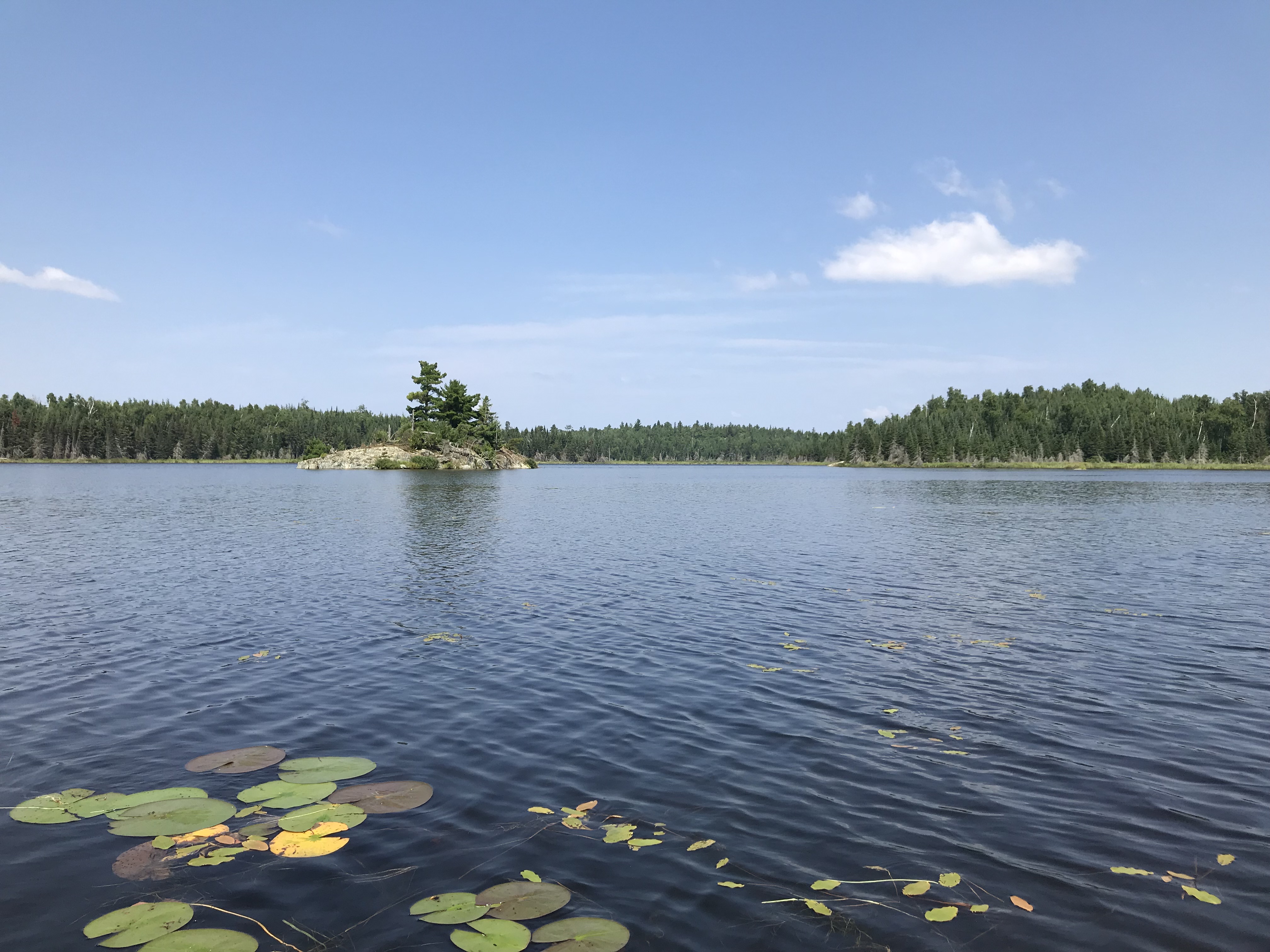
Looking towards the north at the western most island on Hula Lake. This island is about 650 feet southeast of the portage to Good Lake (July 22, 2018).
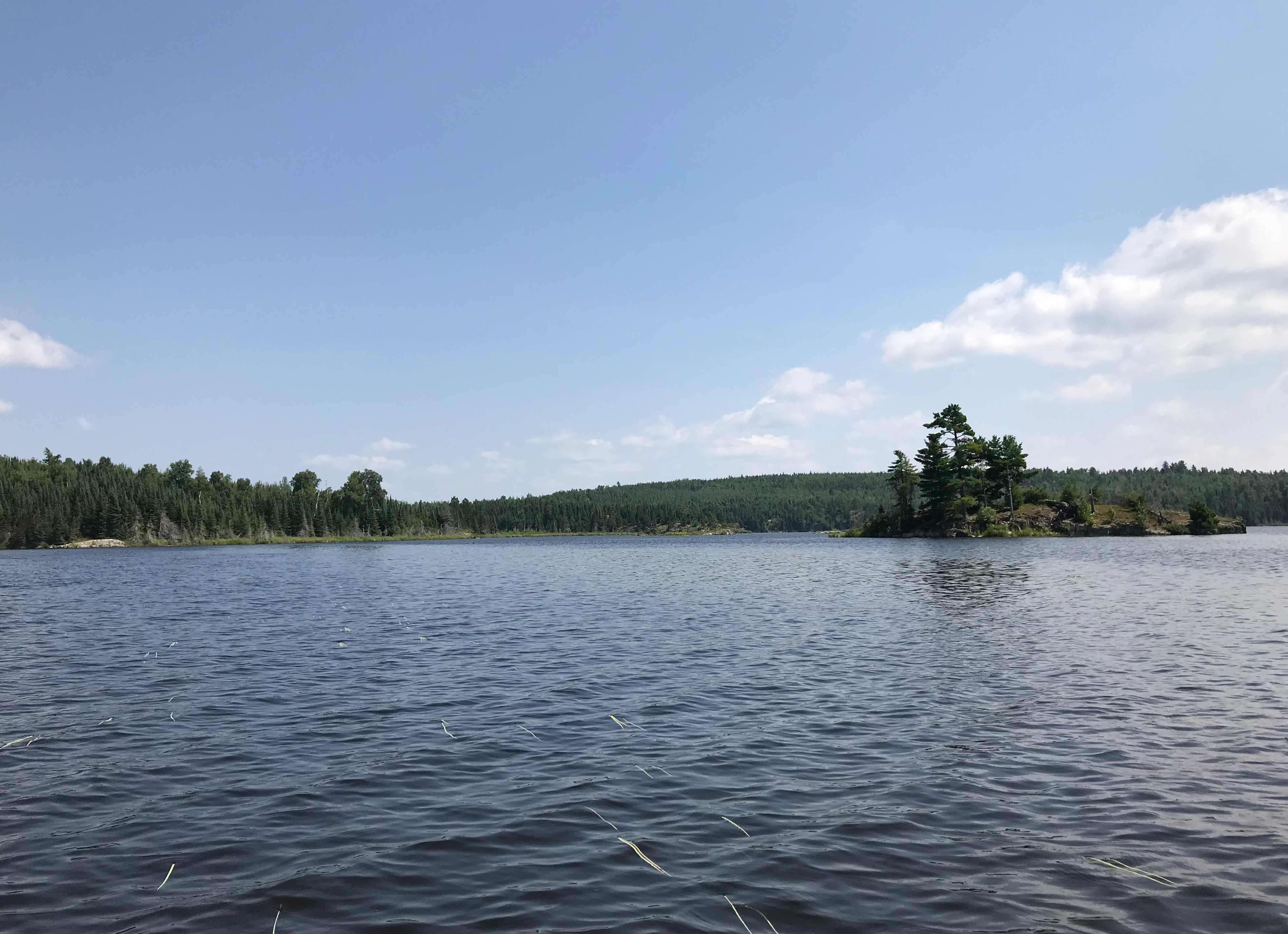
From near the Good Lake portage, a view to the southeast in the direction of the mid-lake islands and the point due east of the portage (July 22, 2018). Portage to Good Lake -or- Explore Another Route ***********************************************END OF ROUTE***********************************************
PADDLING FROM THE GOOD LAKE PORTAGE TO THE WOOD LAKE PORTAGE
Paddling the shortest route between the two portage landings. Portage to Wood Lake -or- Explore Another Route ***********************************************END OF ROUTE***********************************************