ROUTES/PORTAGES FROM BRUIN LAKE:
To Little Gabbro Lake: Walk the 281 rod portage
To South Kawishiwi River: Walk the 15 rod portage
Bruin Lake
Kawishiwi Ranger District
BRUIN LAKE CAMPSITE: Campsite 1 (#1709): Just up the hill from the Little Gabbro Lake portage landing
Another lake with its name derived from a word for a bear.
A small pass through lake between the South Kawishiwi River and Little Gabbro Lake. There is still a fair amount of blowdown around this lake, much of it from the July 21, 2016 windstorm that hit this area hard.
The only campsite on this lake was destroyed by the July 2016 windstorm. As of September 2020, the campsite has been rebuilt. It is found up the hill from the canoe landing where the portage to Little Gabbro Lake begins. It's a very minimalist campsite. The Fisher F-3 map incorrectly shows the location of the campsite on older maps, as being well north of the Little Gabbro Lake portage along the east shoreline. The McKenzie map shows the correct placement of the campsite.
The 281 rod portage from Little Gabbro Lake is shown in the wrong location on some Fisher BWCA maps too. The portage starts on Little Gabbro Lake due north of BWCA Campsite 1705, back in the bay on the west side of the lake. The location of the portage is also incorrect on many maps on the Bruin Lake end. It starts along the eastern shoreline (just south of the middle), not at the southern tip of the lake. Besides being a rather long walk, the portage is otherwise in excellent shape.
There is a below average population of northern pike in this lake.
This small lake appears to be landlocked and is likely fed from runoff from the surrounding area and perhaps natural springs.
Click on the photos below to see the full resolution image - Use your browsers back button to close photo and return to this page.
PADDLING FROM THE SOUTH KAWISHIWI RIVER PORTAGE TO THE LITTLE GABBRO LAKE PORTAGE (AND BWCA CAMPSITE 1709)
Generally following the shoreline counterclockwise from the South Kawishiwi River portage to the Little Gabbro Lake portage landing. The Little Gabbro Lake portage has a spur trail that leads to BWCA Campsite 1709 (June 22, 2025). Portage to Little Gabbro Lake -or- Visit BWCA Campsite 1709 -or- Explore Another Route ***********************************************END OF ROUTE***********************************************
PADDLING FROM THE LITTLE GABBRO LAKE PORTAGE (AND BWCA CAMPSITE 1709) TO THE SOUTH KAWISHIWI RIVER PORTAGE
Take a meandering, indirect route up into the north end of Bruin Lake, before eventually making your way to the South Kawishiwi River portage landing on the west shoreline (June 22, 2025). Portage to the South Kawishiwi River -or- Explore Another Route ***********************************************END OF ROUTE***********************************************
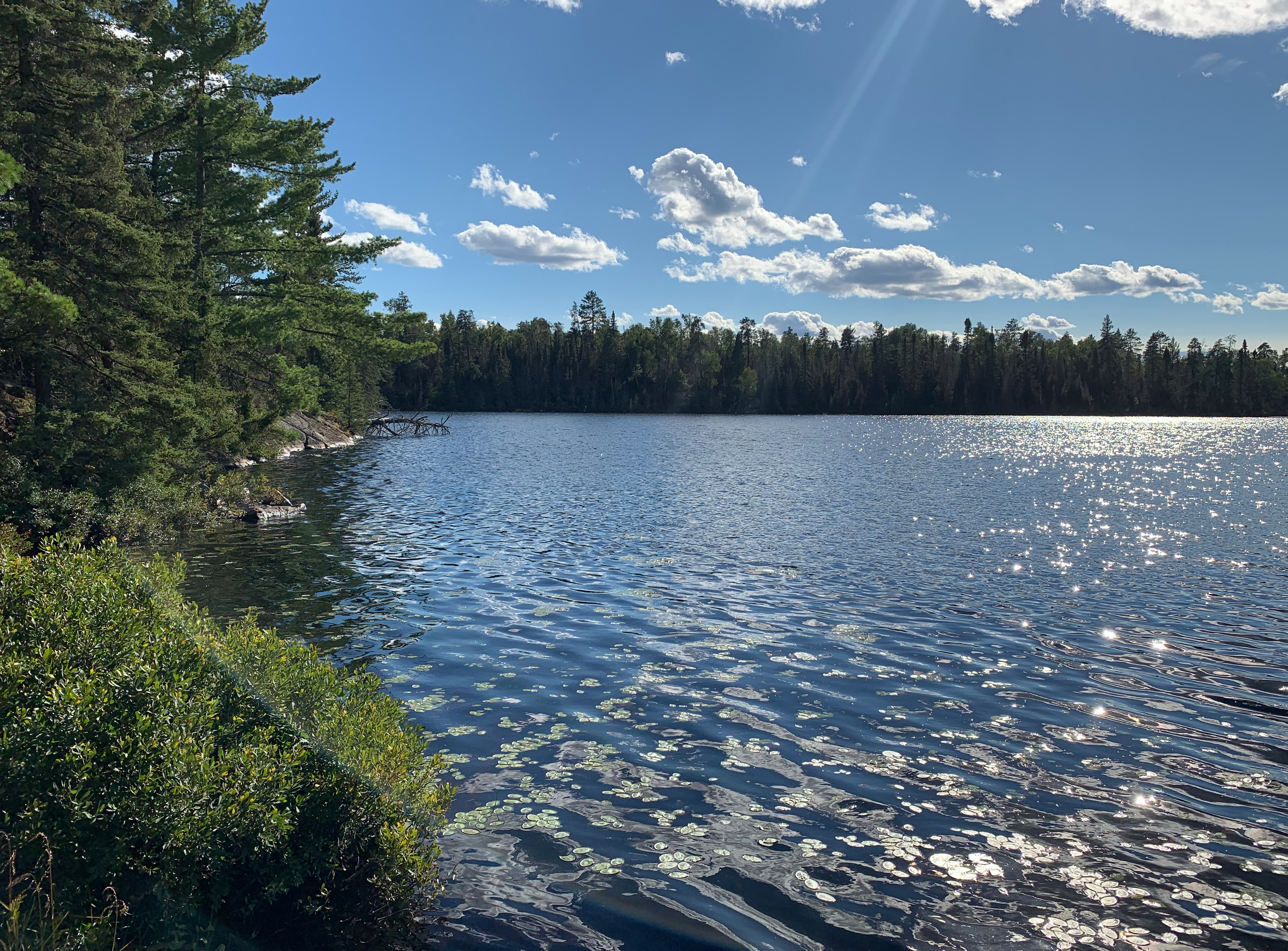
View to the northwest of Bruin Lake from the Little Gabbro Lake portage (September 6, 2020).
Looking generally northwest here. Bruin Lake extends mostly to the right, with only a small part of the lake to the left being out of view from your position. Portage to the South Kawishiwi River is straight across the lake from this position. (August 5, 2016.)
Recently fallen trees are visible at the portage, as this view was from right after the July 21, 2016 blowdown that affected this area. View here is toward the north part of the lake. (August 5, 2016.)