East Pike Lake
Gunflint Ranger District
EAST PIKE LAKE CAMPSITES:
Campsite 1 (#750): Westernmost campsite along the north shoreline
Campsite 2 (#751): A short distance west of the John Lake portage
Campsite 3 (#752): Just east of the John Lake portage
There isn't any 'gimme' portages into East Pike Lake. The shortest one is from West Pike Lake and it is 175 rods long. All the others are over 200 rods. Because of this, East Pike Lake is often quiet. Most of the permitholders for BWCA Entry Point 69 - John Lake never venture past John Lake over the 210 rod portage.
East Pike Lake is one of the few lakes in the BWCA to 'perhaps' have muskies. The fish were last stocked in the lake in 1977. The fish left in the lake are few and far between, but the Minnesota DNR says they were naturally reproducing in the lake as of 2002. The lake does have excellent fishing for smallmouth bass and northern pike.
On the very narrow western end of East Pike Lake, along the south shoreline, rises an extremly steep ridge that separates East Pike Lake and Pine Lake. This ridge towers nearly 400 feet above East Pike Lake. Also in this same area, but on the north side of the lake, a hill of roughly equal height soars above the lake. This hill isn't as steep. These two landforms create some stunning scenery as you paddle down the slender western channel of the lake. The Border Route Trail runs along the top of the high ridge gracing the south side of East Pike Lake.
Some of the forest around East Pike Lake was logged, mostly during the 1914 to 1920 time period. This logging operation was conducted by the Pigeon River Lumber Company (Heinselman).
The Royal River trickles through East Pike Lake from west to east.
Exploring East Pike Lake
Click on the photos below to see the full resolution image - Use your browsers back button to close photo and return to this page.

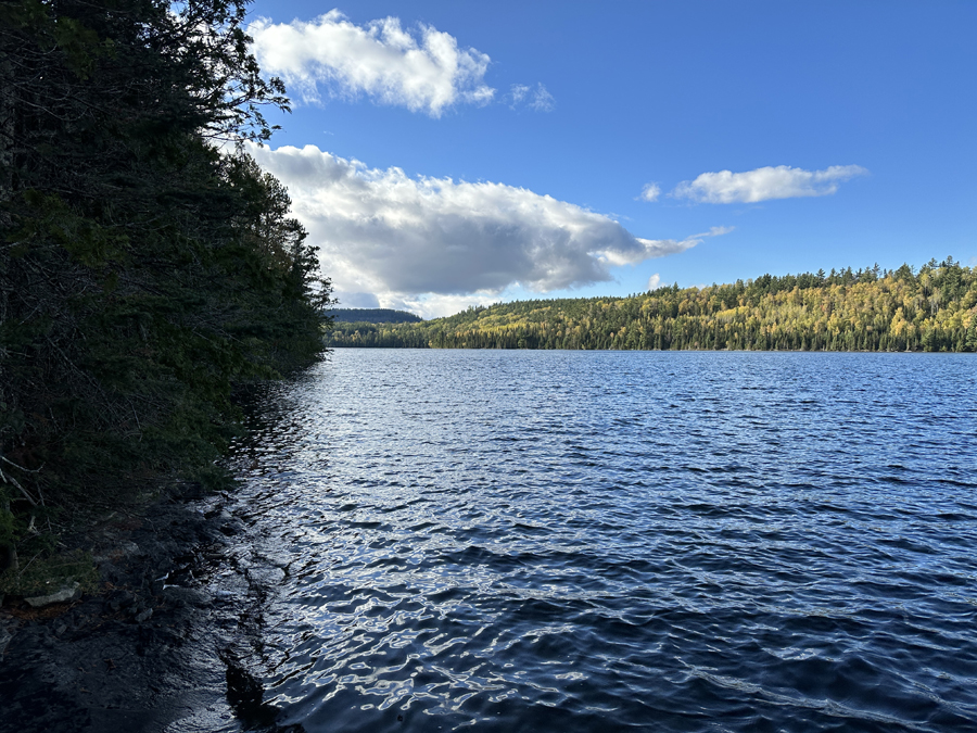
View to the west from the John Lake portage. You can see roughly one-third of the lake from this location.

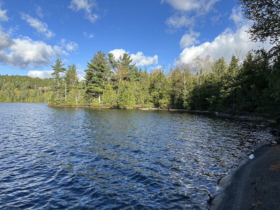
Looking east from the John Lake portage.
Route Connections for East Pike Lake
From East Pike Lake you can portage to John Lake and West Pike Lake. Also there is an unmaintained portage to McFarland Lake. It is also possible to portage directly into Pine Lake from East Pike Lake by first following the portage to West Pike Lake. At the western end of that portage you'll find the portage trail to Pine Lake (which is somewhat grueling because of length and elevation change).
Return to Top of Page
|

