Pose Creek
Tofte Ranger District
This creek begins just east of the Powwow Trail and southeast of Pose Lake. The creek first intersects the Powwow Trail about 0.74-miles north of the "Second Wye". The creek is difficult to notice at this location because it's so small. About 1-mile west of the Pose Lake campsite spur trail, the Powwow Trail again crosses Pose Creek. The creek is much larger by this point. The creek flows from east to west south of Pose Lake. It then makes a sharp turn about a mile west of Pose Lake and comes back to the east until flowing into the lake. The creek flows into Ahmoo Creek a couple thousand feet downstream of Pose Lake, about 500 west of the old Ahmoo Creek road crossing. Pose Creek is not a maintained route through the Boundary Waters Canoe Area.
There are several lovely overlooks of the Pose Creek valley along the Powwow Trail (see below).
Exploring Pose Creek
Click on the photos below to see the full resolution image - Use your browsers back button to close photo and return to this page.
The images below are shown in order, as if you were hiking the Powwow Trail in a counterclockwise direction.
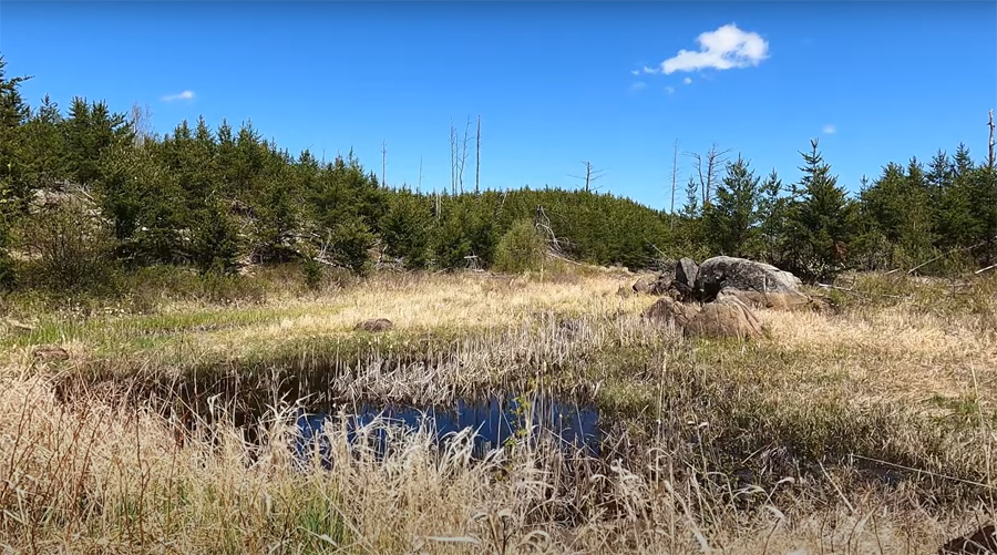
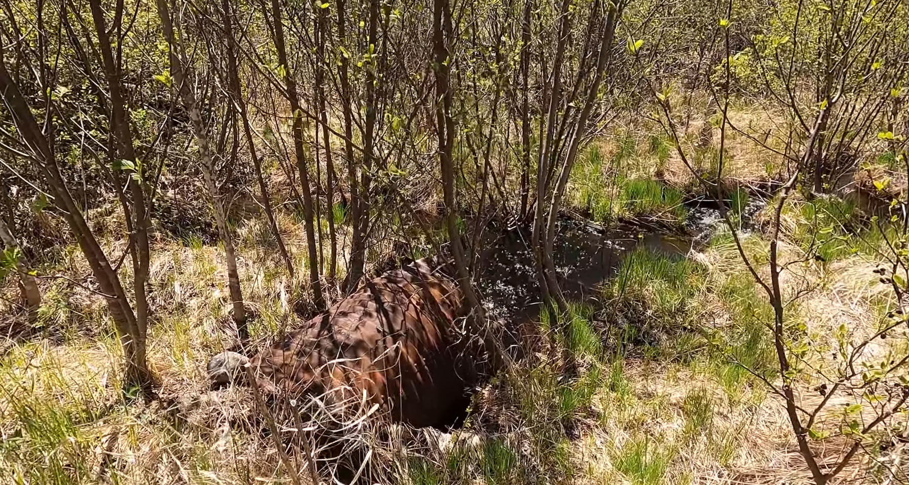
Pose Creek. This is about 0.74-miles north of the "Second Wye". If hiking the Powwow Trail counterclockwise, this is the first place you will see Pose Creek. Creek is very small here.

This is the culvert through which Pose Creek flows under the trail. This culvert probably dates back until at least the 1960's.

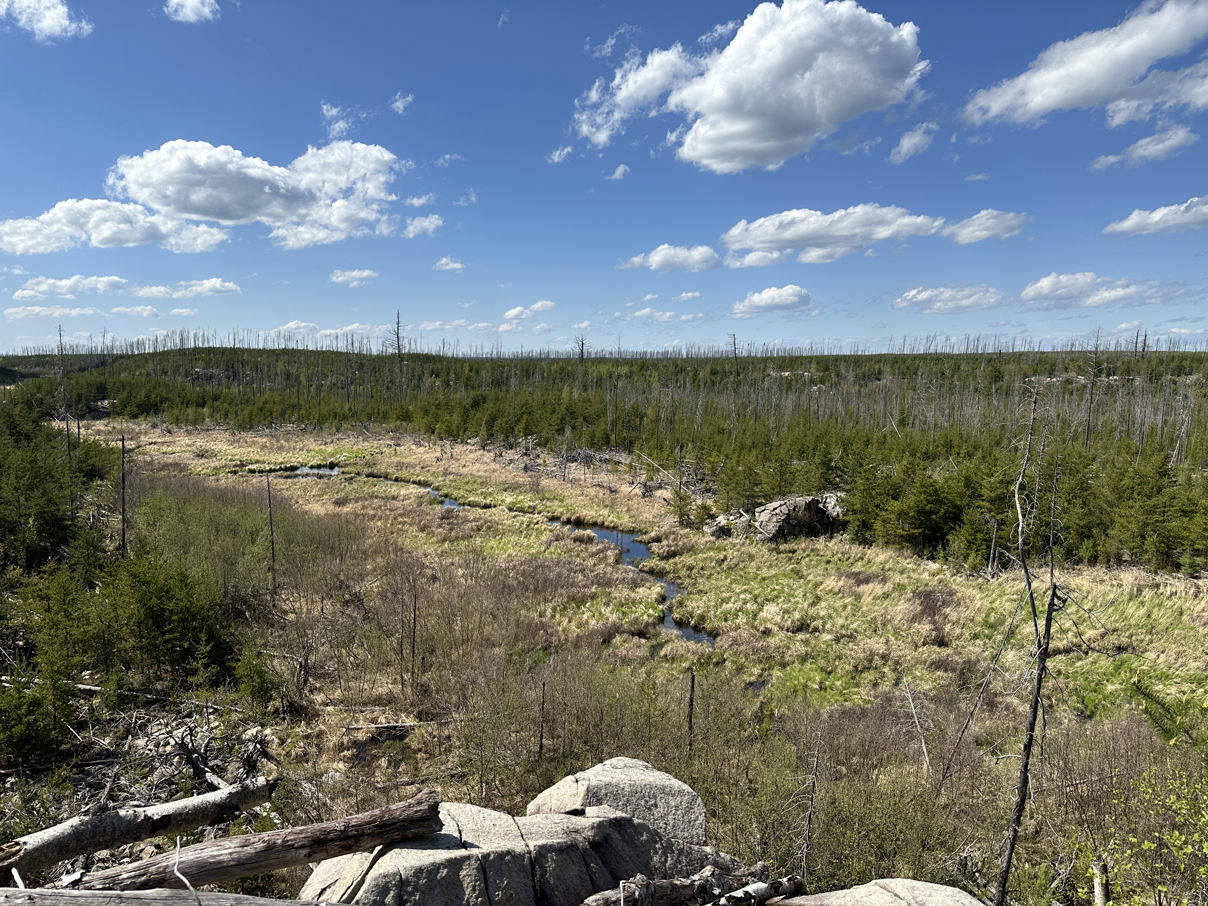
First overlook of the Pose Creek valley.
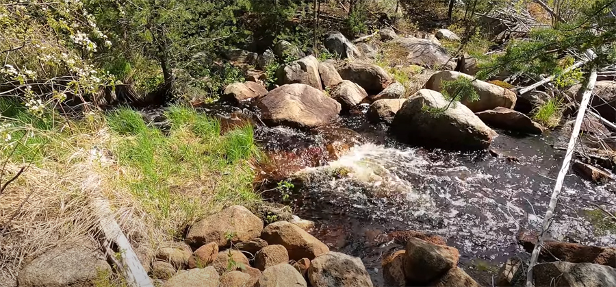
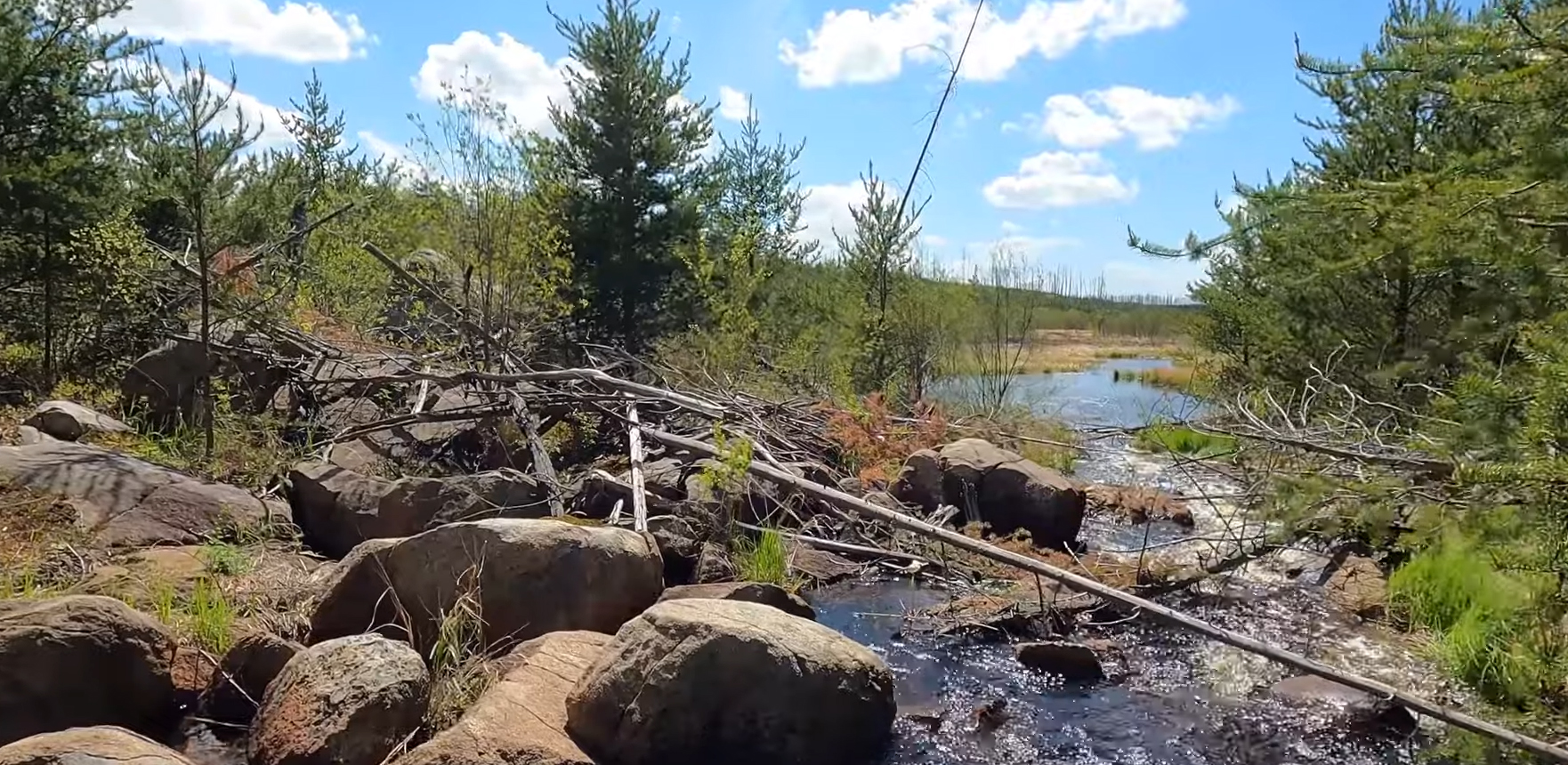
You have to boulder hop here to get across. This spot is about one mile west of the spur trail to the Pose Lake campsite. It is about 500 past the overlook shown above (if hiking Powwow Trail counterclockwise).

View downstream from the crossing.

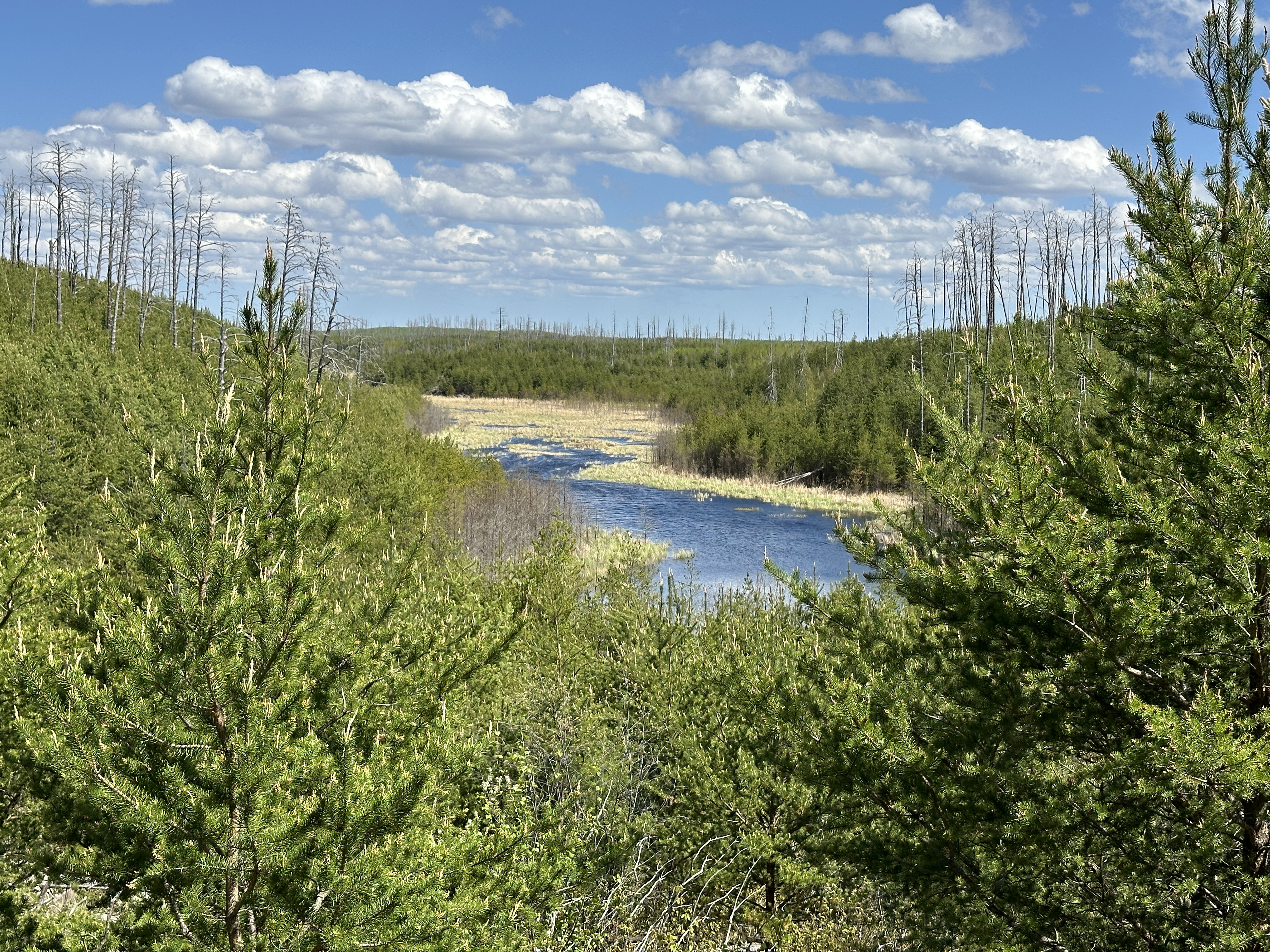
Here is the second overlook of the Pose Creek Valley. It is about a half-mile beyond the creek crossing to the west. The view is to the east/northeast, looking downstream.
Route Connections for Pose Creek
From Pose Creek, you can paddle into Pose Lake, although Pose Creek is not a maintained route and is not navigable along much of its length. The Powwow Hiking Trail intersects Pose Creek in two locations.
Return to Top of Page
|