Marathon Lake
Tofte Ranger District
MARATHON LAKE CAMPSITE:
Campsite 1 (#2258) - Only campsite on the lake and it's accessible from the Powwow Trail
Small lake along the Powwow Trail. Most of the shoreline was burned in 2011 by the Pagami Creek Fire.
There is one campsite here, but it lacked a fire ring and no latrine was found (2024).
A creek flows into the north part of Marathon Lake. This creek originates at Hump Lake (so it's possible this is called Hump Creek). Marathon Lake drains out a creek near the west end of the lake. That creek flows down to Wagner Lake and then Diana Lake.
Exploring Marathon Lake
Click on the photos below to see the full resolution image - Use your browsers back button to close photo and return to this page.
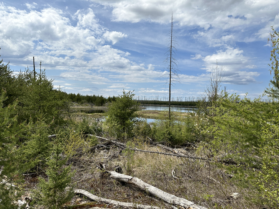
View of Marathon Lake from near the lakes single campsite (May 26, 2024).
Route Connections for Marathon Lake
Marathon Lake is accessible from the Powwow Hiking Trail.
Return to Top of Page
|


