Diana Lake
Tofte Ranger District
DIANA LAKE CAMPSITE:
Campsite 1 (#Unknown) - Only campsite on the lake and it's accessible from the Powwow Trail. Campsite is on the point on the east side of the lake. Must bushwhack along the shoreline to reach this campsite.
The entire shoreline of Diana Lake was burned by the Pagami Creek Fire of 2011, except a tiny area of the southwest shoreline.
Diana Lake has some northern pike and walleye swimming in it.
Diana Creek flows out of the south end of the lake and is crossed by the Powwow Trail. Another creek (name unknown) flows into the northwest bay of the lake. That creek originates to the west near Cargo Lake. An additional creek flows into the northeast park of the lake. This creek comes from Wagner Lake and Marathon Lake a bit further upstream from there. This creek may be called Hump Creek, but uncertain.
Exploring Diana Lake
Click on the photos below to see the full resolution image - Use your browsers back button to close photo and return to this page.
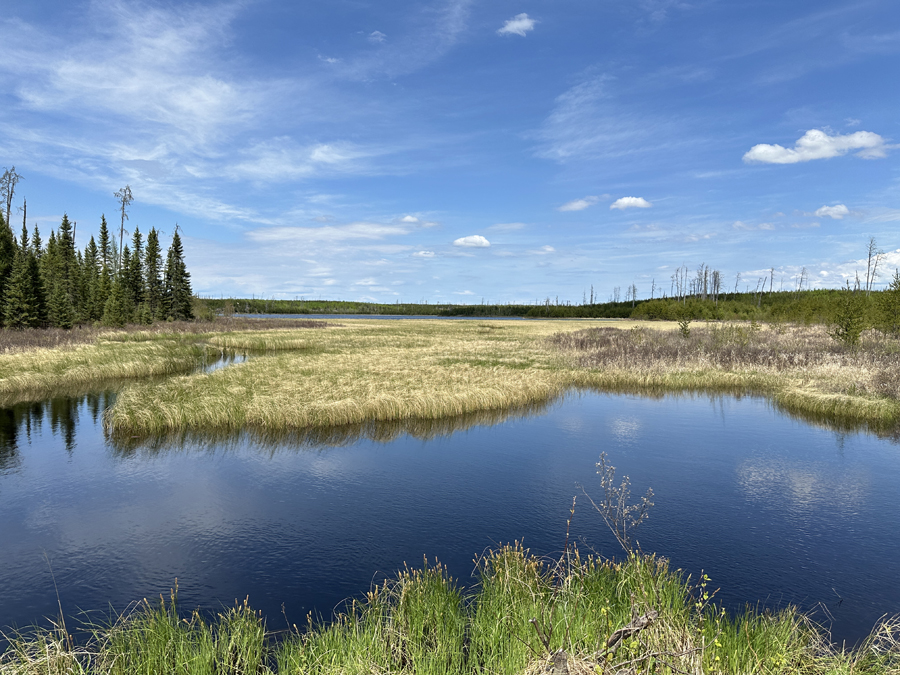
This is a view of Diana Lake from the Powwow Trail. There is a campsite on this lake. It is located right in the middle of the photo on the far shoreline (difficult to see). You must hike the lakeshore to reach it. There isn't a defined trail. This image is when the water levels in the lake are high. During low water, like in late summer or fall, the shoreline is relatively easy to walk out to that campsite (May 26, 2024).
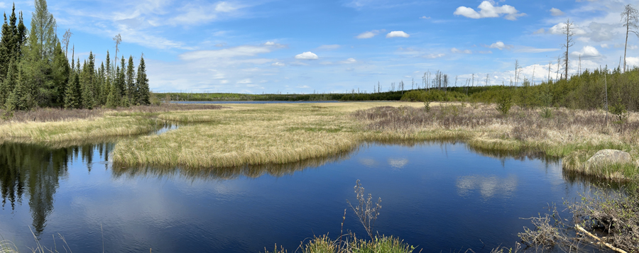
A panoramic view of the lake (May 26, 2024).
Route Connections for Diana Lake
Diana Lake is accessible from the Powwow Hiking Trail.
Return to Top of Page
|


