Fallen Arch Lake
» Display Fallen Arch Lake Map
» Display scrollable USGS Topo Map of Fallen Arch Lake
» Show Simple Fallen Arch Lake Map
Nearest Entry Point: Powwow Hiking Trail #86 Fishing: Unknown
Maps: F-4, F-31; McKenzie #19 Lake Depth: MN DNR; 11 feet
Fire History: 2011
Lake Size: 17 acres
Campsites: None Wildlife Seen on Visit: None
Last Visited: May 26, 2024 Lake Elevation: 1551 feet
Water Clarity: MN DNR

ROUTES/PORTAGES FROM FALLEN ARCH LAKE:
Access to: Powwow Trail

Fallen Arch Lake

Tofte Ranger District

Like many of the lakes along the Powwow Trail, the shoreline forest was burned to the ground by the 2011 Pagami Creek Fire.

Fallen Arch drains to the south through a small creek that eventually flows into Pelt Creek, just downstream of Pelt Lake.

Exploring Fallen Arch Lake

Click on the photos below to see the full resolution image - Use your browsers back button to close photo and return to this page.

Fallen Arch Lake 1A
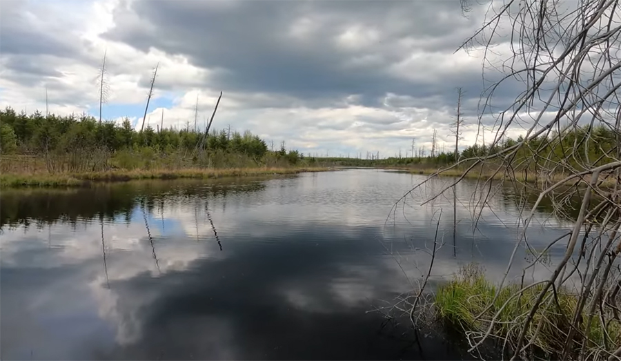
Fallen Arch Lake. View is to the north from the Powwow Trail (May 26, 2024).

Route Connections for Fallen Arch Lake

Fallen Arch Lake is accessible from the Powwow Hiking Trail.

Return to Top of Page


PMA #1: Weeny PMA #4: Tick PMA #7: Pitfall PMA #10: Hairy
PMA #2: Canthook PMA #5: Spider PMA #8: Mugwump PMA #11: Weasel
PMA #3: Sundial PMA #6: Drag PMA #9: Humpback PMA #12: Fungus
- www.BWCAwild.com - All Rights Reserved.
All images, videos and text property of www.BWCAwild.com - No reuse without permission.
DISCLAIMER AND TERMS OF USE --- CONTACT US --- PRIVACY POLICY