Pelt Creek
Tofte Ranger District
Pelt Creek intersects the Powwow Trail about 600 feet west of "The Wye". The creek originates in a marsh about 2,000 feet north of "The Wye". The area where Pelt Creek intersects the Powwow Trail is rather scenic with extensive marshland views on either side of the trail at that location. Pelt Creek flows into Pelt Lake about 4,000 feet downstream of where it meets the Powwow Trail. The creek is not navigable except as noted below. Pelt Creek flows through Pelt Lake and continues west/southwest until it flows into Rice Lake. A very short section of Pelt Creek is navigable from where it has its mouth on the Isabella River upstream to Rice Lake.
The entire length of Pelt Creek was within the 2011 Pagami Creek Fire burn zone.
Creek likely gets it's name because it was a great place for trappers to harvest beaver pelts.
Exploring Pelt Creek
Click on the photos below to see the full resolution image - Use your browsers back button to close photo and return to this page.

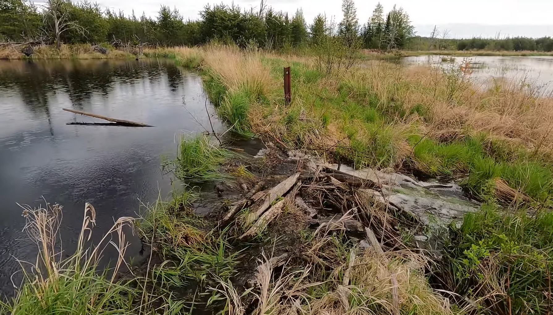
The Powwow Trail crosses Pelt Creek here. That metal post on the other side of this small beaver dam is probably a remnant from the road that used to be here. This was in the spring. In the summer and fall, this area is probably much drier (May 26, 2024).
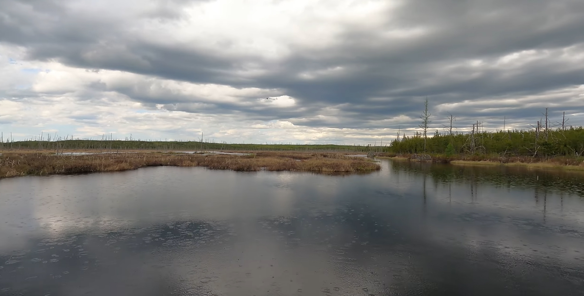
To the north side of the Powwow Trail, Pelt Creek forms this large beaver pond/small lake (May 26, 2024).

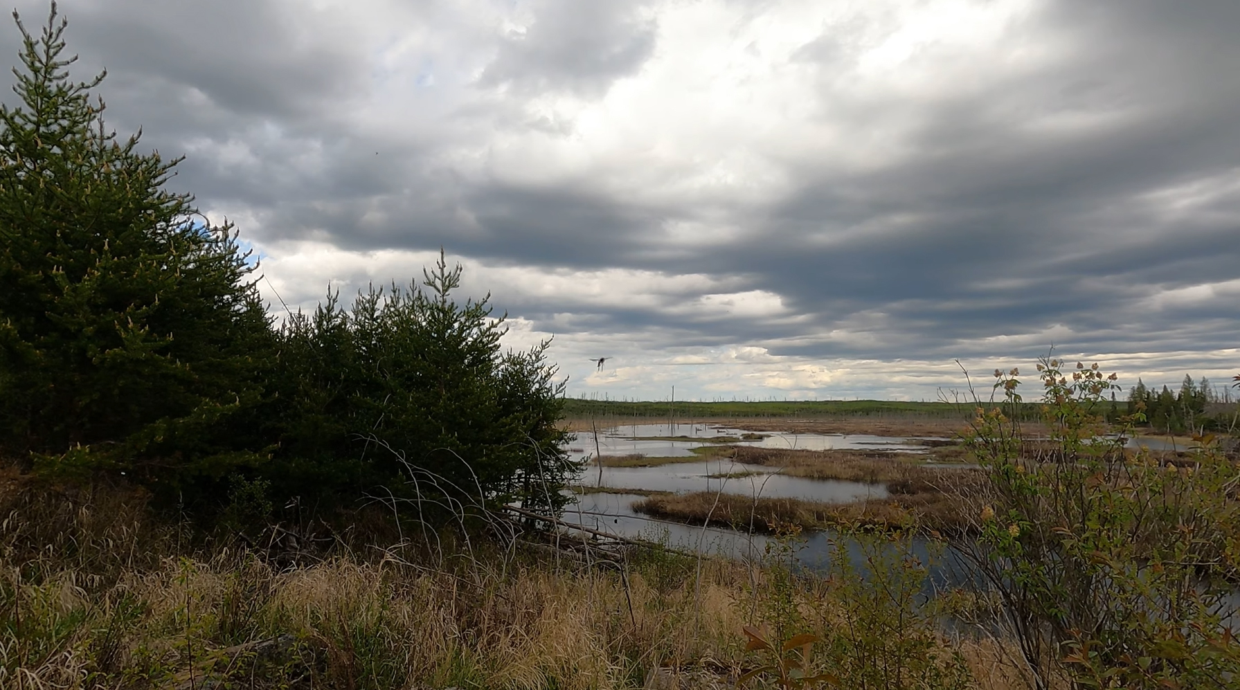
Another view of the ponds and wetlands formed by Pelt Creek on the north side of the Powwow Trail.
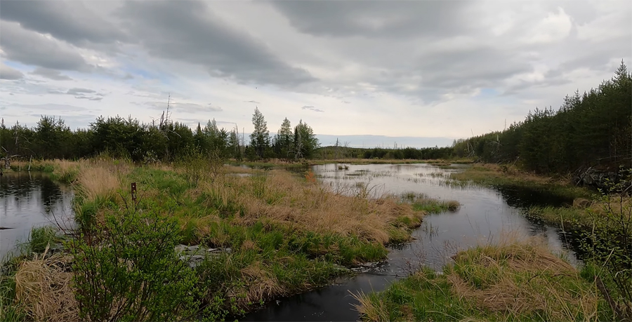
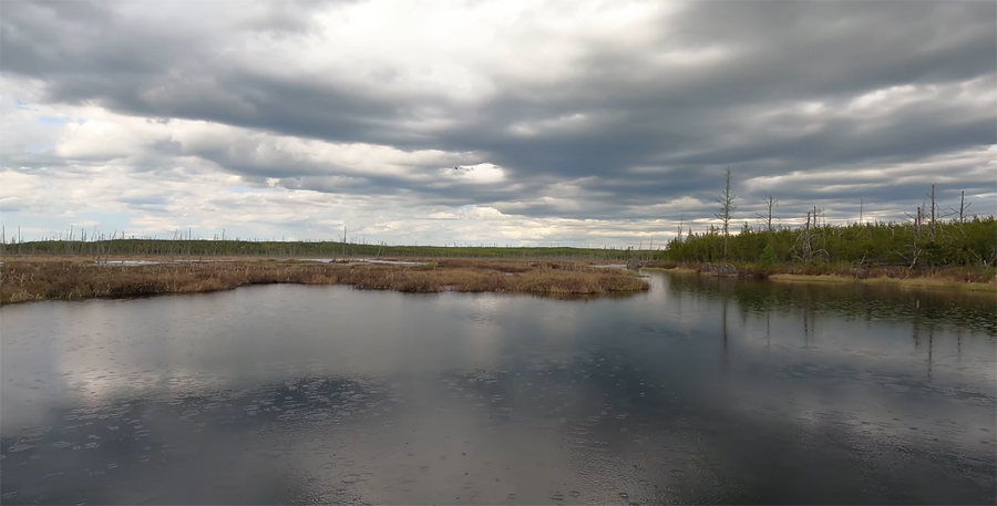
On the left of this photo is the beaver dam where the Powwow Trail crosses the creek. Notice the metal post just across the creek far left. On the right is Pelt Creek, downstream of the Powwow Trail (south side of the trail).
Route Connections for Pelt Creek
The Powwow Hiking Trail intersects Pelt Creek.
Return to Top of Page
|