Diana Creek
» Display Diana Creek Map
» Display scrollable USGS Topo Map of Diana Creek
» Show Simple Diana Creek Map
Nearest Entry Point: Powwow Trail #86 Fishing: Unknown, but probably some northern pike
Maps: Fisher F-4, F-31; McKenzie #19 Creek Depth: At least 5 feet
Fire History: 2011
Creek Length: About 2 miles. Headwaters at Diana Lake. Mouth at the Isabella River.
Campsites: None Wildlife Seen on Visit: None
Last Visited: May 26, 2024 Creek Elevation: Headwaters at 1525 feet at Diana Lake. Elevation at its mouth on the Isabella River is about 1515 feet.
Water Clarity: N/A

ROUTES/PORTAGES FROM DIANA CREEK:
Access to: Powwow Trail

Diana Creek

Tofte Ranger District

Diana Creek flows for about two miles from Diana Lake to its mouth on the Isabella River. The only two places where you can see the creek with minimal effort are where it is crossed by the Powwow Trail and where it flows into the Isabella River.

The creek almost certainly has some northern pike in it. Much of the creek is navigable, but it is not a maintained route.

Exploring Diana Creek

Click on the photos below to see the full resolution image - Use your browsers back button to close photo and return to this page.

Diana Creek 1
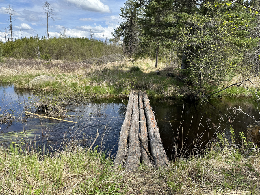
This is the location where the Powwow Trail crosses Diana Creek on this log bridge. The creek flows over an unfinished beaver dam on the left of the image as it flows out of Diana Lake. The creek is pretty deep here under the bridge.


Diana Creek 2
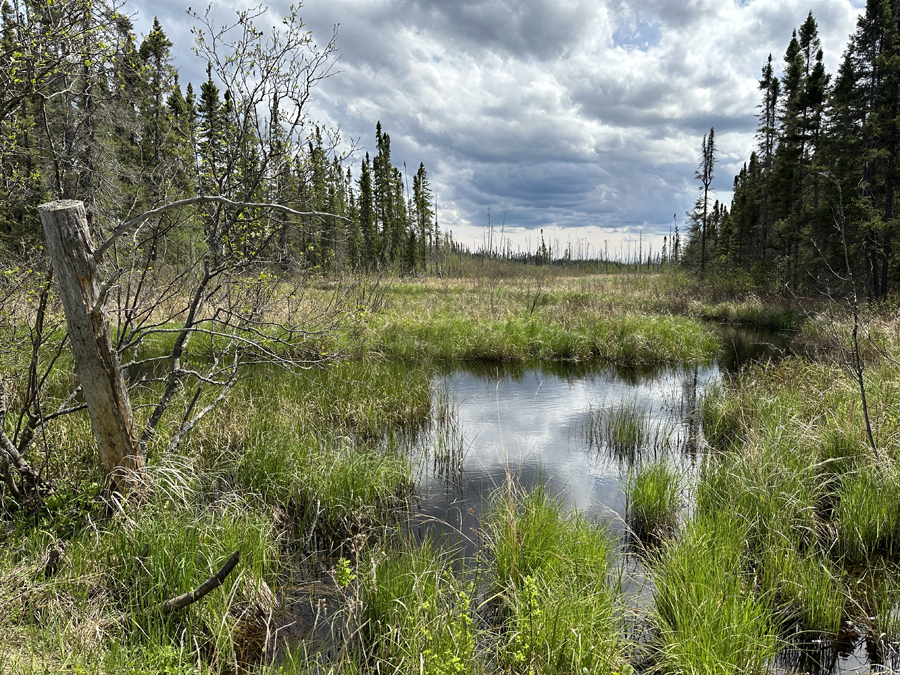
View of Diana Creek looking downstream.

Route Connections for Diana Creek

The Powwow Hiking Trail intersects Diana Creek.

Return to Top of Page


PMA #1: Weeny PMA #4: Tick PMA #7: Pitfall PMA #10: Hairy
PMA #2: Canthook PMA #5: Spider PMA #8: Mugwump PMA #11: Weasel
PMA #3: Sundial PMA #6: Drag PMA #9: Humpback PMA #12: Fungus
2025 - www.BWCAwild.com - All Rights Reserved.
All images, videos and text property of www.BWCAwild.com - No reuse without permission.
DISCLAIMER AND TERMS OF USE --- CONTACT US --- PRIVACY POLICY