Snake River
Kawishiwi Ranger District
The entire river is just over 11 miles long. It starts in a bog just southeast of Shamrock Lake which is just east of Forest Road 386. From the end of the 198 rod portage from the entry point parking lot, it's about a mile paddle downriver until you reach the Isabella River. There are two portages along the Snake River downstream of the entry point portage. Where the darkly stained Snake River enters the Isabella River is just upstream of Bald Eagle Lake. The mouths of the Snake River and the Little Isabella River are separated by a four mile stretch of the Isabella River.
You can make a long day trip out of the three rivers in this area. Put your canoe in at the Little Isabella River entry point. Paddle down the Little Isabella River to the Isabella River. Float the Isabella River to the mouth of the Snake River. Finally, paddle up the Snake River and follow the portage to the Snake River entry point parking lot. From there, just walk back down the road (assuming you have only one car) to the Little Isabella River entry point parking lot. You can do this in either direction, but starting from the Little Isabella River is slightly easier because the majority of the travel would be downstream with the current.
References:
Beymer, Robert, Boundary Waters Canoe Area – Volume 1 – Western Region (Berkeley: Wilderness Press, 2006), 221, 223, 225, 226, 231, 233, 241, 246, 247.
Pauly, Daniel, Exploring the Boundary Waters (Minneapolis: University of Minnesota Press, 2005), 207, 208.
Rom, William N., M.D., Canoe Country Wilderness (Stillwater: Voyageur Press, 1987), 43, 44.
Traveling the Snake River
Click on the photos below to see the full resolution image - Use your browsers back button to close photo and return to this page.
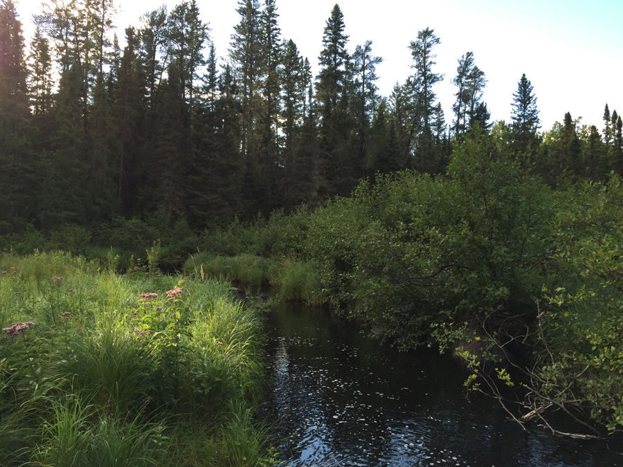
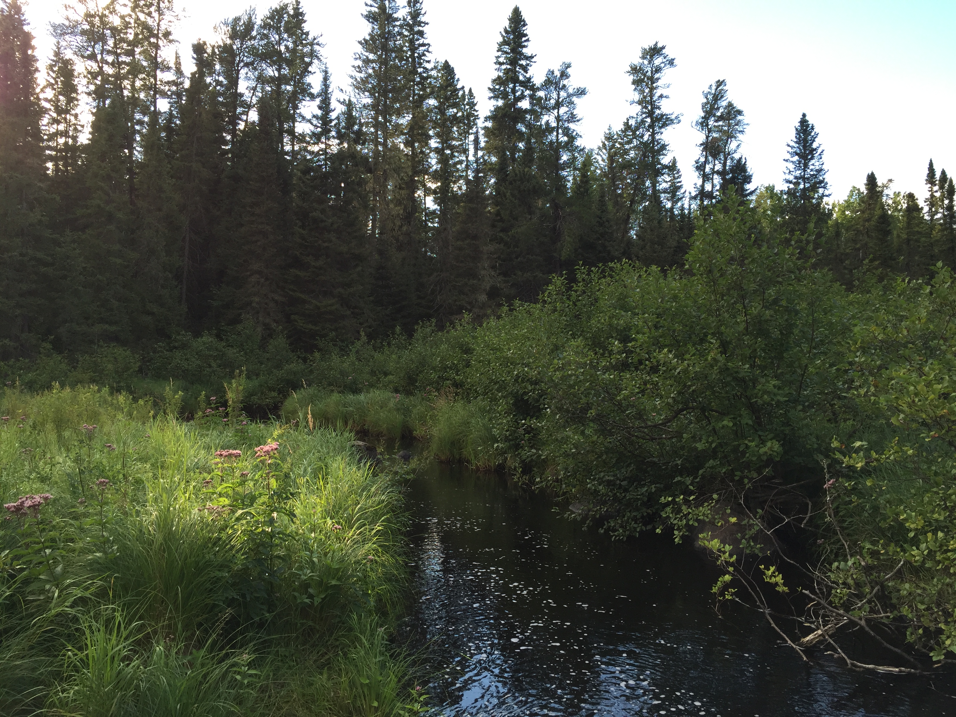
Just below some rapids is the put in for the Snake River. You are standing at the end of the 198 rod entry point portage. Direction of travel from here is to the left, downstream.
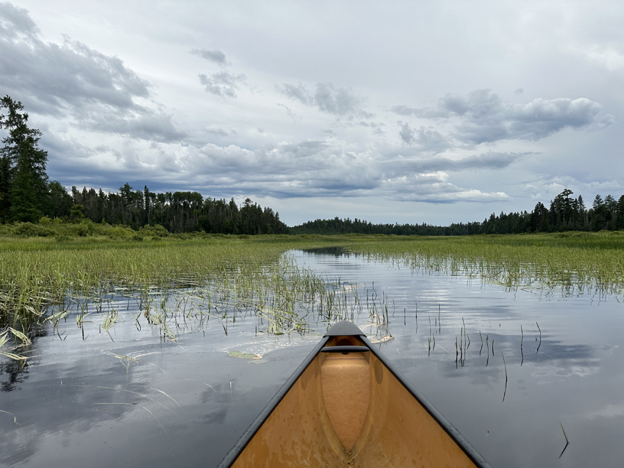
Snake River mouth where it flows into the Isabella River through fields of wild rice. Looking upstream at the Snake River.
Route Connections for Snake River
From the Snake River, you can paddle into the Isabella River. In addition, you can leave the BWCA by portaging to BWCA Entry Point 84.
Return to Top of Page
|