Entry Point 57 - Magnetic Lake
Gunflint Ranger District
From Grand Marais, follow the Gunflint Trail (County Road 12) inland for about 43 miles until you reach South Gunflint Lake Road (County Road 50). The turnoff is just a few hundred feet past the Gunflint Lake roadside overlook. Take a right turn onto South Gunflint Lake Road. Follow this gravel road just a 1/2 mile to the Gunflint Lake public water access. Make a left turn into the parking lot.
You can unload your car right next to the lake. This is sometimes a busy access. Leave room for vehicles with trailers who are loading and unloading their motorboats. Motorboat traffic is common on Gunflint Lake.
From the landing, Magnetic Lake is nearly a one mile paddle almost due north. Gunflint Lake is big water for canoers, so you may have to hug the shoreline if the wind is up, which will make for a longer paddle.
Gunflint Lodge and Outfitters is just 500 feet down the road from the public water access.
As you reach Magnetic Lake, which you can just paddle into from Gunflint Lake, you'll enter an area with many miles of burnt forest. This was a result of the 2007 Ham Lake Fire. This burn area extends north nearly to Saganaga Lake.
Exploring the Entry Point
Click on the photos below to see the full resolution image - Use your browsers back button to close photo and return to this page.
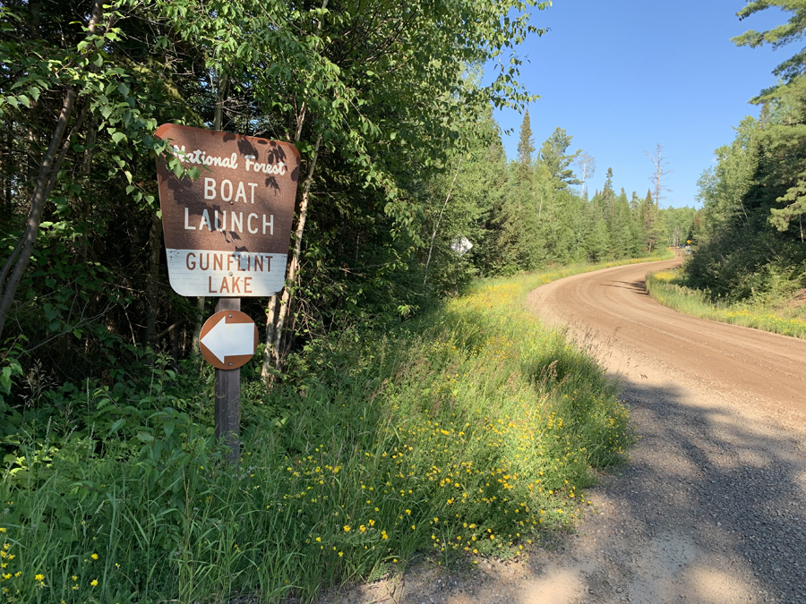
Sign along South Gunflint Lake Road indicating the turnoff for the public water access on Gunflint Lake. This is about a half a mile from the Gunflint Trail.
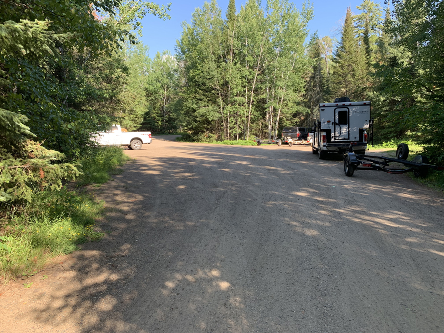
Ample parking lot to accomodate paddlers cars and boat trailers. There is a circular road coming in each end of the parking lot that also provides access to the boat landing.
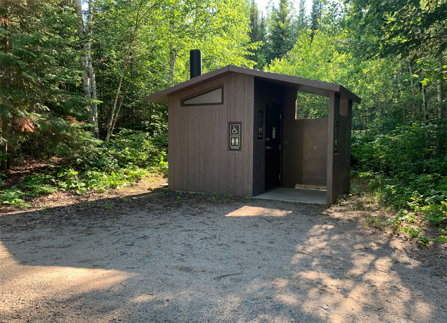
Located near the back of the parking lot.
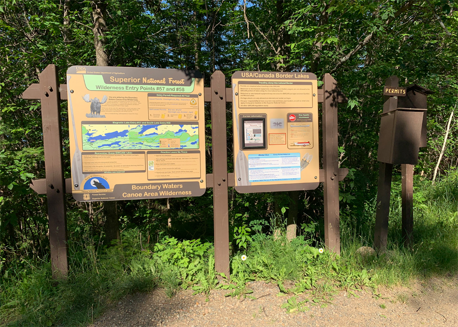
BWCA entry point signs. The box on the far right is where you will find the day permit if you are only doing a day trip into the Boundary Waters.
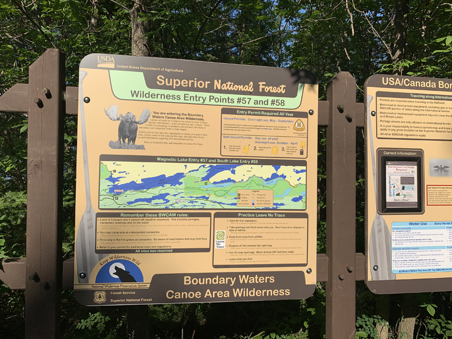
Close up. Map shows route the the actual BWCA entry points. In the case of South Lake (Entry Point #58), you must travel over 11 miles before you reach the BWCA boundary. Magnetic Lake is much closer.
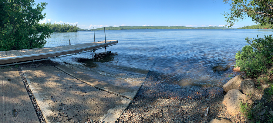
The public water access boat ramp on Gunflint Lake. If you are headed to Magnetic Lake, head for that bit of far shoreline directly beyond the left most vertical pole protruding from the dock. It's just under a mile away.
Now that you've reached the shore of the lake, visit: MAGNETIC LAKE
Return to List of BWCA Entry Points (sorted by Entry Point Name or by Entry Point #)
|


