Nearest Ranger Station: Gunflint Ranger Station, Grand Marais, MN along Hwy. 61 on the North Shore
Portage Length from Parking Lot: None
Restroom at Entry Point: Yes
Entry Point 48 - Meeds Lake
Gunflint Ranger District
From Grand Marais, follow the Gunflint Trail (County Road 12) inland for about 32.5 miles until you reach Old Gunflint Trail Road (County Road 92). This is about 3 miles past Trail Center. Just follow the signs for about one mile to get to the entry point landing.
If you are debating either the Skipper Lake entry point or the Meeds Lake entry point based on the difficulty of that first portage, most folks would consider the Poplar Lake to Skipper Lake portage to be a little easier. Even though the Skipper Lake portage (317 rods) is slightly longer than the Meeds Lake portage (290 rods), the Meeds Lake portage is more rugged with frequent elevation changes and several very rocky sections.
As you traverse the portage from Poplar Lake to Meeds Lake, you will pass through several burn areas. This fire was a prescribed burn that was done in 2010. The portage trail is scenic, with some big white pines and several giant cedar trees along the route.
The portage landings on both ends of this trail are reasonable. If you can make it across this long portage, everything else will seem easier by comparison.
The Blandin Trail intersects the portage at around the midway point.
Exploring the Entry Point
Click on the photos below to see the full resolution image - Use your browsers back button to close photo and return to this page.
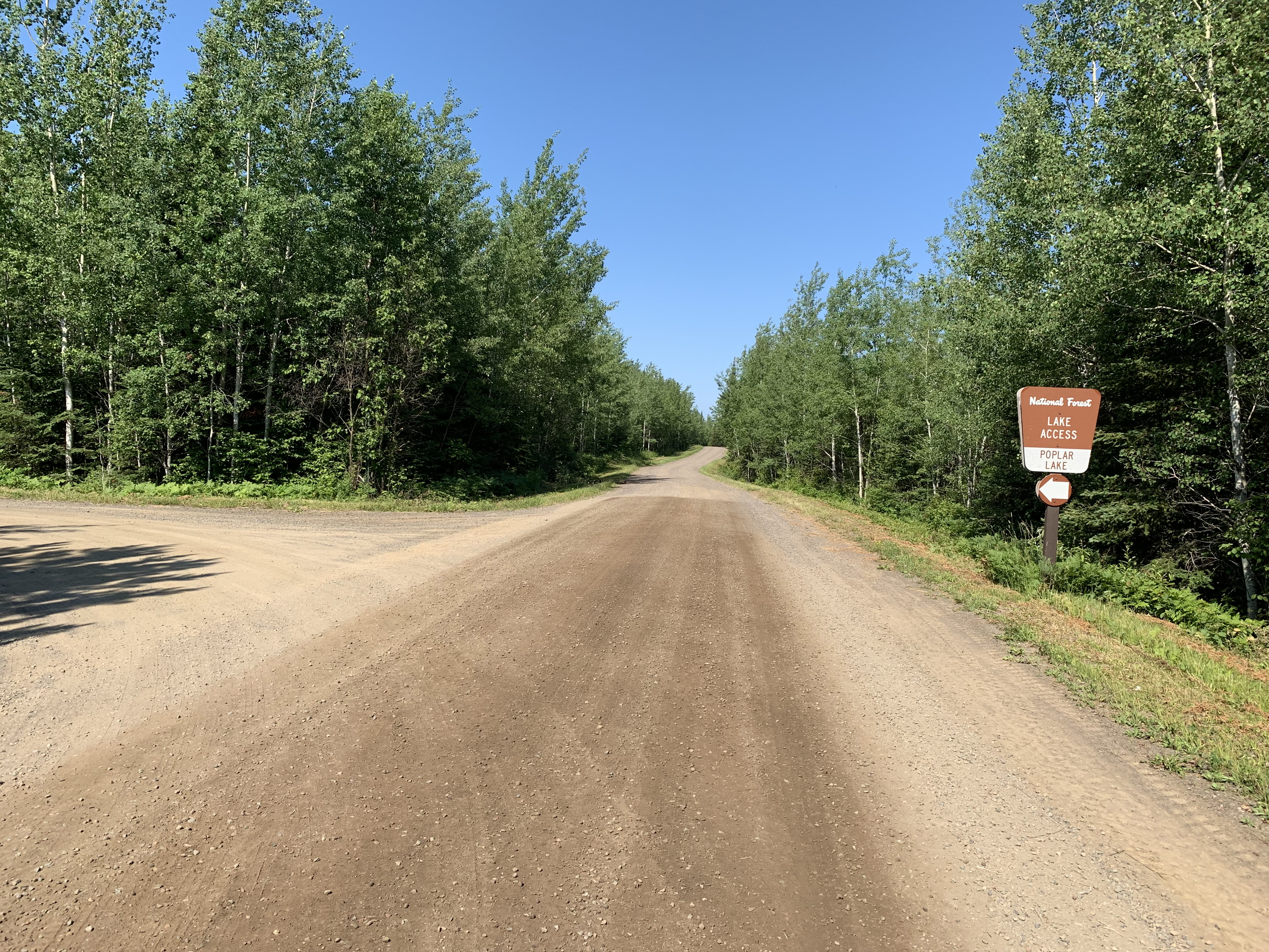
Sign along Old Gunflint Trail road. This is also known as County Road 92.
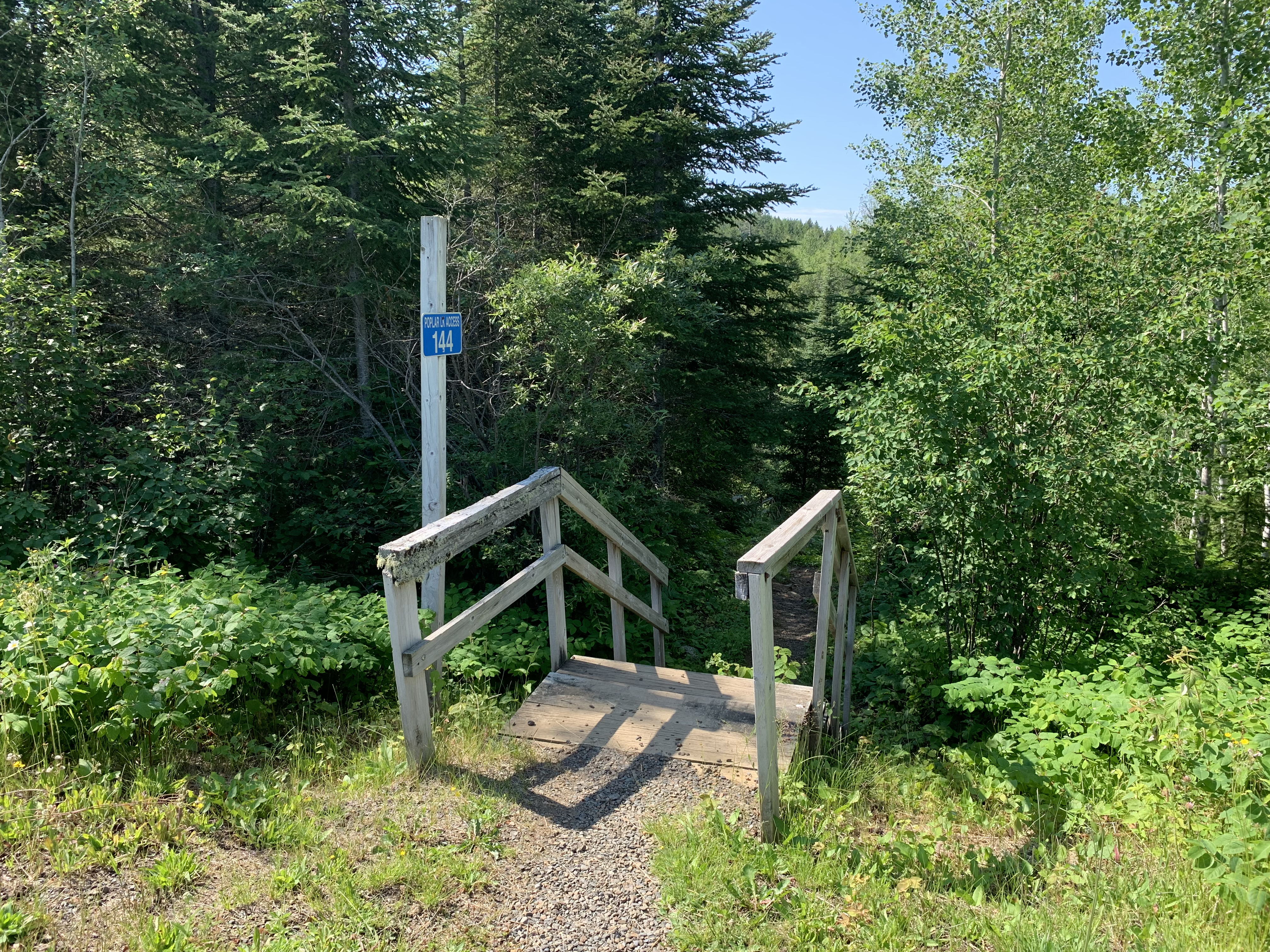
The parking lot is on top of a hill connected by a fairly long staircase to the boat landing on Poplar Lake.
Looking up the access road. The boat landing is directly behind you from this vantage point.
Boat ramp at the Poplar Lake public landing. This landing is on the very west end of the lake. There is no long term parking down by the lake, just an unloading zone. You must park at the top of the hill and take the steps down to the lake.
Poplar Lake serves BWCA Entry Points #47, #48 and #49.
Exploring this large, two-tier lake access.
The parking lot on top of the hill can accomodate a lot of vehicles.
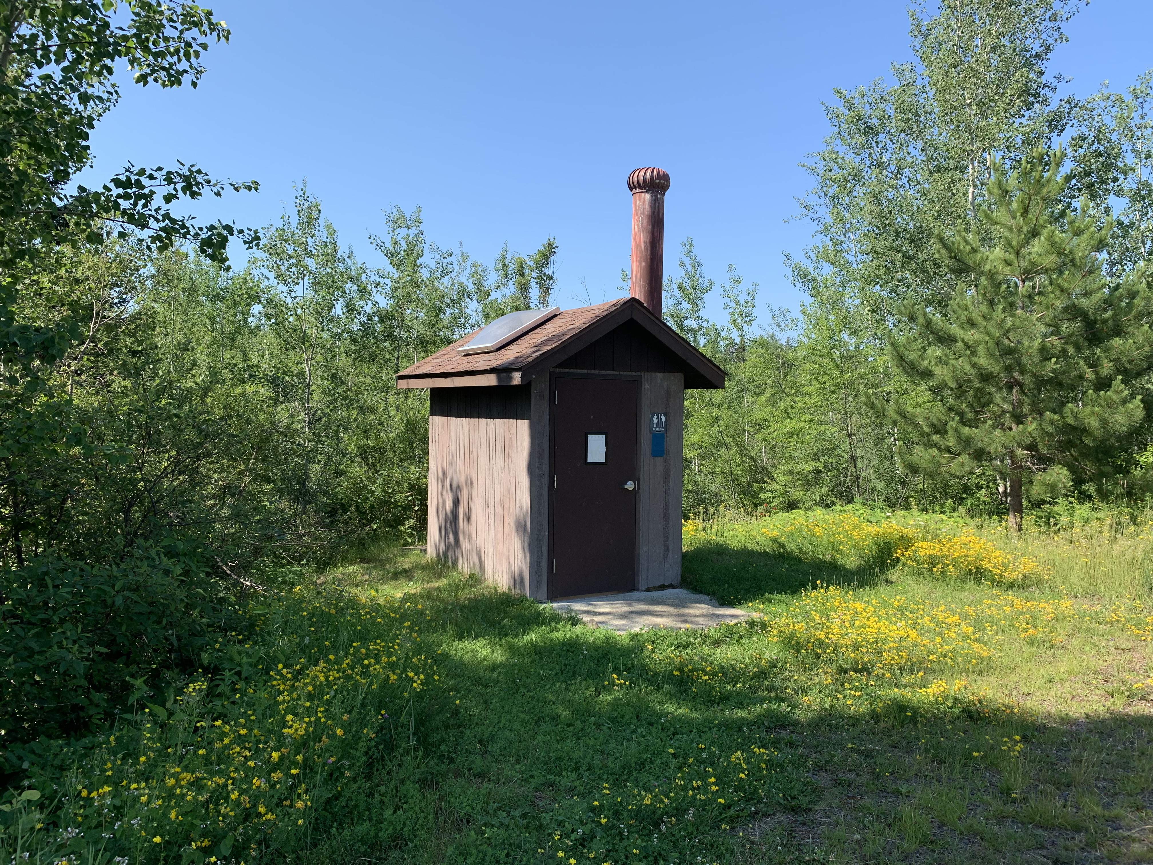
This little restroom is next to the parking lot. There isn't a restroom down by the lake.
The steps from the parking lot leading down to the boat landing.
The challenging portage to Meeds Lake. This portage is about two miles from the Poplar Lake boat landing. It is on the south shore, near the back of long west arm of the lake.
Now that you've reached the shore of the lake, visit: MEEDS LAKE