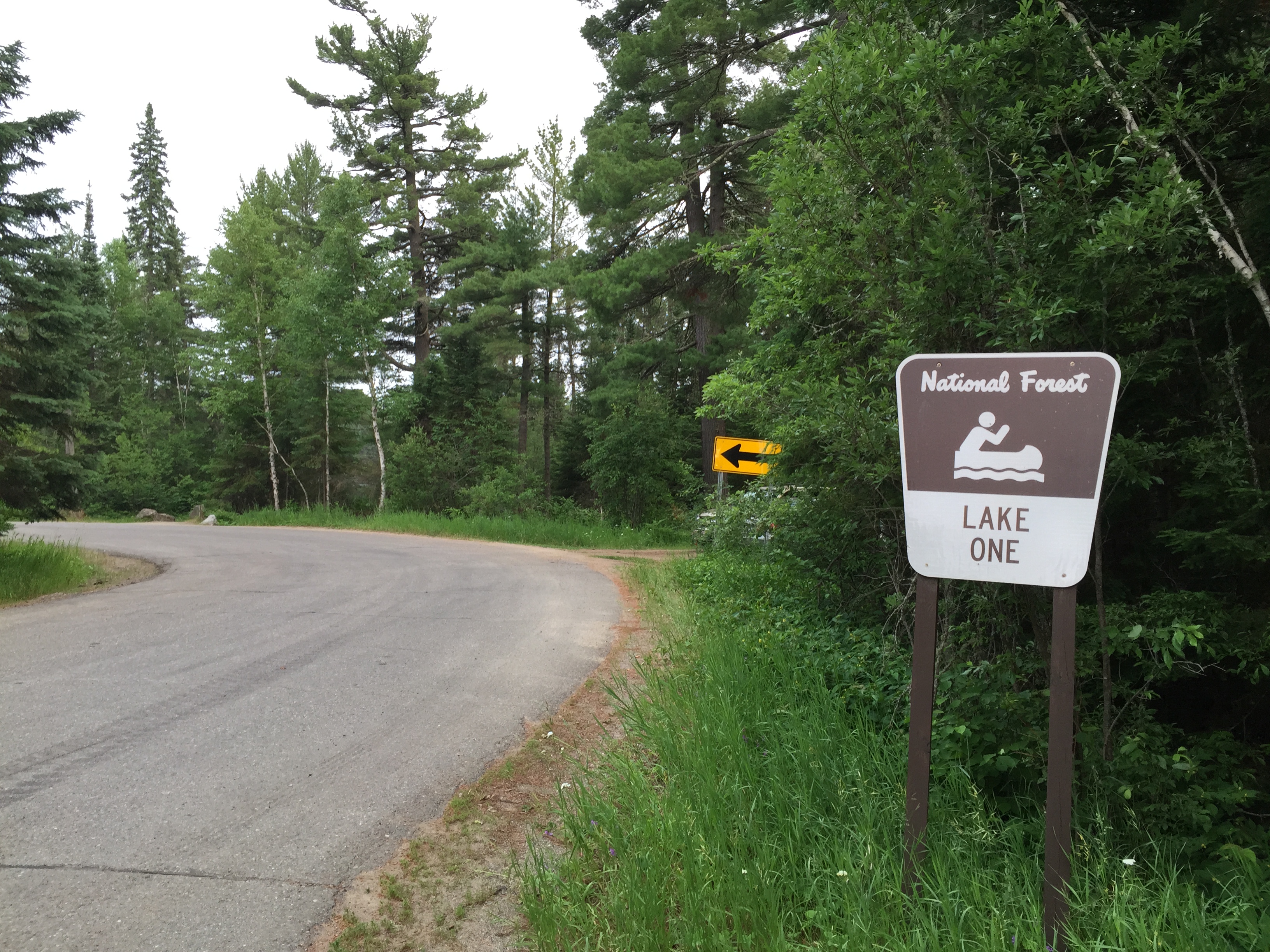
This is also the location of BWCA Entry Point #30F - Lake One (restricted). The restriction is that camping on the Kawishiwi River is prohibited. If you don't plan to camp on the Kawishiwi River, please use Entry Point #30F if available. That will leave the unrestricted #30 entry point permits available for those who plan to take the river route.(As of 2022, no Entry Point #30F permits are being given; all permits are for Entry Point #30.)
To get to Lake One, just follow Minnesota Highway 169 east out of Ely, Minnesota. Eventually MN 169 turns into the Fernberg Road. Continue along this road for a good 15 miles until the road dead ends at the Lake One entry point parking lot. Along the way, you will pass by a number of other BWCA entry points. The Snowbank Lake entry point (Entry Point 27), is just up the road from the Lake One entry point. The Fernberg Road is paved all the way to Lake One with a speed limit of 50 mph.
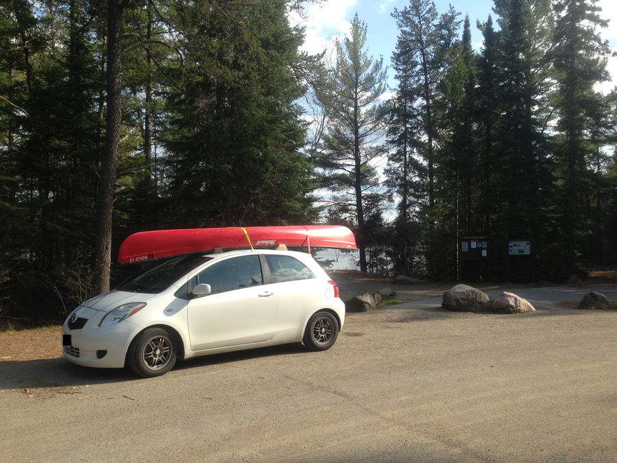
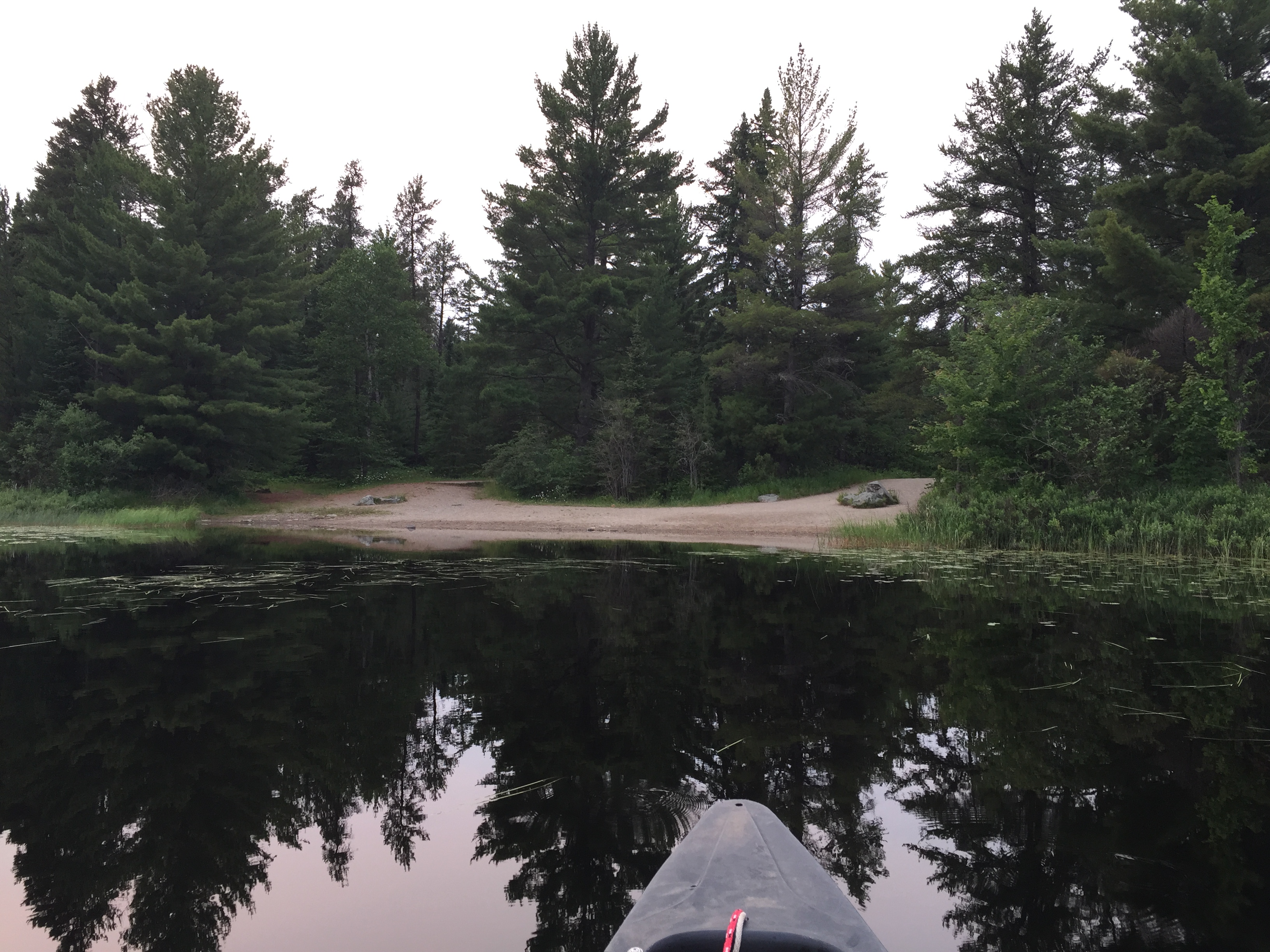
There is a restroom here. You can park your car in the loading/unloading area pretty close to the lake. The launch area for your canoe is a sandy beach.
Lake One is a result of a couple dams along the Kawishiwi River. So it is not a "natural" lake, at least in its current form. The Lake One Entry Point seems to be on a wide section of the Kawishiwi River and not on the main body of Lake One. Lake One is a pretty lake nonetheless.
Lake One is also often very confusing for paddlers who haven't visited it before (and even some that have). The people who name lakes, whoever they may be, even had the sense of humor to name a tiny lake between the open part of Lake One and the Kawishiwi River, Confusion Lake. Also, to add more confusion to the confusion, Confusion Lake is only shown on the Fisher Maps, not on the McKenzie Maps. Further, to increase the confusion, the Fisher Map Series even divides Lake One onto two maps (F-4 and F-10) which makes it hard to figure out how the lake fits together. The Fisher F-31 Special map has Lake One all on one map. The McKenzie map also shows Lake One on a single map.
To keep from getting turned around, especially on a cloudy day when you can't see the sun, do this. Looking out from the canoe landing, go to your left (which is east). To many this looks like the wrong direction, because standing at the canoe landing, the lake doesn't extend far in an easterly direction. Once in your canoe though and paddling, you will find a small channel (going north). Go through the short channel and immediately go right (east again). The lake will start to open up. Many folks continue up the left (west shore) into the dead end bay because it looks like it goes farther. After you take a hard right coming out of the short channel, paddle straight east all the way to the far shore. That very narrow channel on your map is really quite narrow and hard to see until you are right next to it. When you get to the east shoreline, turn left and paddle north into the northeast corner. You will see the channel eventually.
You will know you totally went the wrong direction from the canoe landing if you start to approach any rapids. Rapids flow out of this area to the southwest (right when looking at lake standing at canoe landing). You cannot see these rapids from the canoe landing (entry point). This direction leads to Confusion Lake and takes you down the Kawishiwi River (a direction most paddlers don't intend to go, although there is a route through there).
Routes from the Lake One entry point are either to the east through the numbered lakes (i.e. Lake Two, Lake Three, etc) or to the west down the Kawishiwi River.
Exploring the Entry Point
Click on the photos below to see the full resolution image - Use your browsers back button to close photo and return to this page.
Entering the parking lot at Lake One (July 3, 2015).
The unloading area at Lake One. You can see Lake One in the background. The canoe landing is a sandy beach. The restrooms are over your right shoulder directly behind you. If you are here for a day trip, you would find the day permits (that must be filled out and carried with you) in a box attached to the information board just to the right of the back of the car behind the boulders (July 3, 2015).
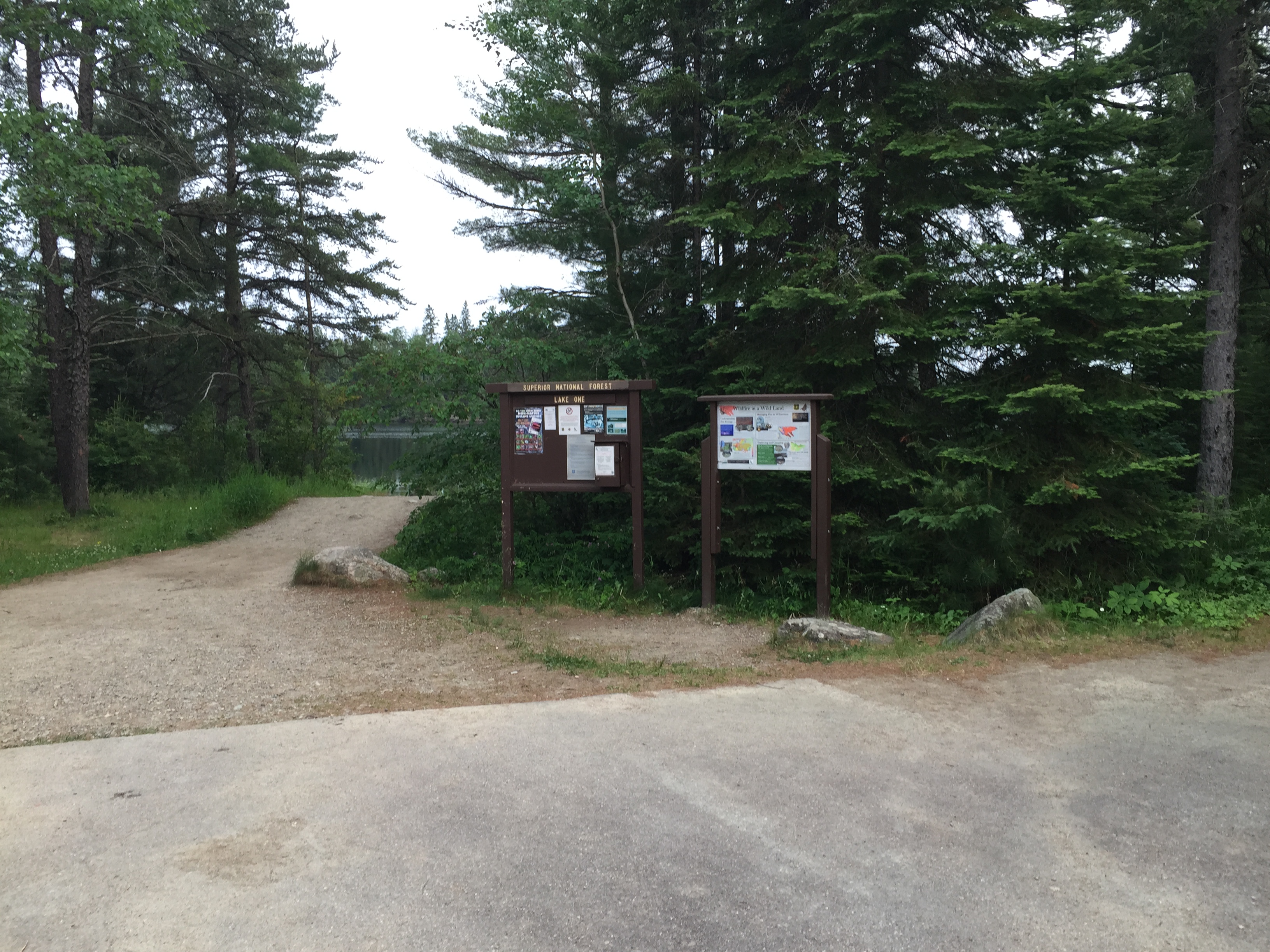
The bulletin board and other signage at the loading zone. The path leading to Lake One is in the background on the left (April 29, 2021).
Older view of the bulletin board signs, which have bee replaced with those shown above (July 3, 2015).
The nice beach for launching and landing your boat at Lake One (April 29, 2021).
On a busy weekend in the summer, the landing looks more like this with a steady stream of visitors launching and landing (August 7, 2021).
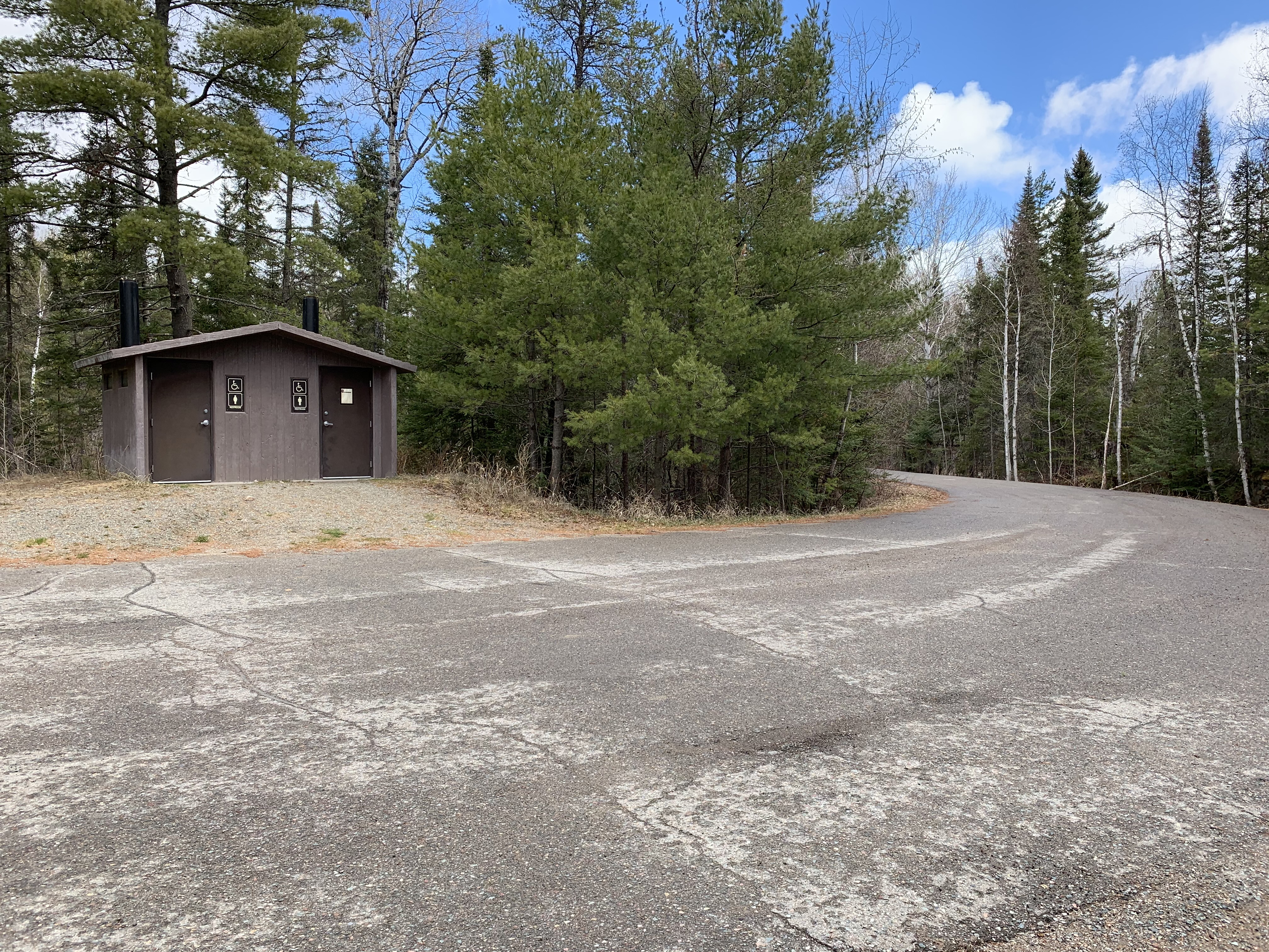
The biffy (April 29, 2021).
The biff (July 3, 2015).
Your view of the Lake One entry point landing as you come to the end of your trip (July 3, 2015).
A stroll about the Lake One entry point (April 29, 2021).
Older video footage of the entry point (July 3, 2015).
A look down the Fernberg Road as you leave the Lake One entry point. This road leads back to Ely, Minnesota (July 3, 2015).
Now that you've reached the shore of the lake, visit:LAKE ONE