ROUTES FROM MAVIS LAKE:
To Missing Link Lake: Bushwhack of about 45 rods
Mavis Lake
Gunflint Ranger District
Mavis Lake is reached by a faint and rugged trail. The trail is used at least annually by the Minnesota Department of Natural Resources to keep Mavis Lake stocked with brook trout. The lake has been stocked since at least 1959. Since 1980 the brook trout have been stocked on an annual basis. Missing Link Lake is also stocked with brook trout.
If you want to catch some of those brook trout, you will have to work for it. There is a very steep rock face you must get over to reach Mavis Lake along the trail. It is steep enough that you must use your hands to ascend it. Getting a canoe up it will require two people or if solo, you might want to bring a rope to pull your boat up.
Mavis Lake probably isn't connected to any other lakes or streams.
References:
Pauly, Daniel, Exploring the Boundary Waters (Minneapolis: University of Minnesota Press, 2005), 316.
Approach to Mavis Lake
Click on the photos below to see the full resolution image - Use your browsers back button to close photo and return to this page.
There is a faint trail that you will find on the edge of Missing Link Lake. There is a large dead tree overlooking the start of this trail. Also the trail begins at a large flat table rock. The canoe landing is pretty good. Note that many maps (as of 2020) that show a portage to Mavis Lake, show it starting where the Snipe Lake portage begins. This is not accurate. Also, this is not really a portage, it is more of an easy bushwhack. The portage is not maintained by the U.S. Forest Service. You may want to bring a compass/GPS device as the trail can be hard to follow at times.
This shows the short paddle from the Snipe Lake portage to the Mavis Lake trail.
Bushwhack to Mavis Lake
This the the start of the bushwhack to Mavis Lake from Missing Link Lake. The large dead tree can be seen in the background (the trunk part) in center of your view. Just in front of the dead tree is a grassy area (also center of view). That grassy area is where the trail begins. This flat rock offers an easy place to land a canoe and serves as a good landmark also. This location is just west of the Snipe Lake portage (several hundred feet down the shoreline).
Bushwhack from Missing Link Lake to Mavis Lake. There is a faint trail, but all in all very brushy and overgrown. A few muddy spots. The most difficult section (particularly if you have a canoe) is the climb up the small rock face. You will need to use your hands due to its steepness.
You made it! This is the canoe landing at Mavis Lake.
Exploring Mavis Lake
The following series of images is viewing Mavis Lake from the start of the Missing Link Lake bushwhack. The view starts to your left and goes clockwise all the way around the lake. You can see nearly the entire lake from this location. (Telephoto lense used to capture the views of the far shoreline.)
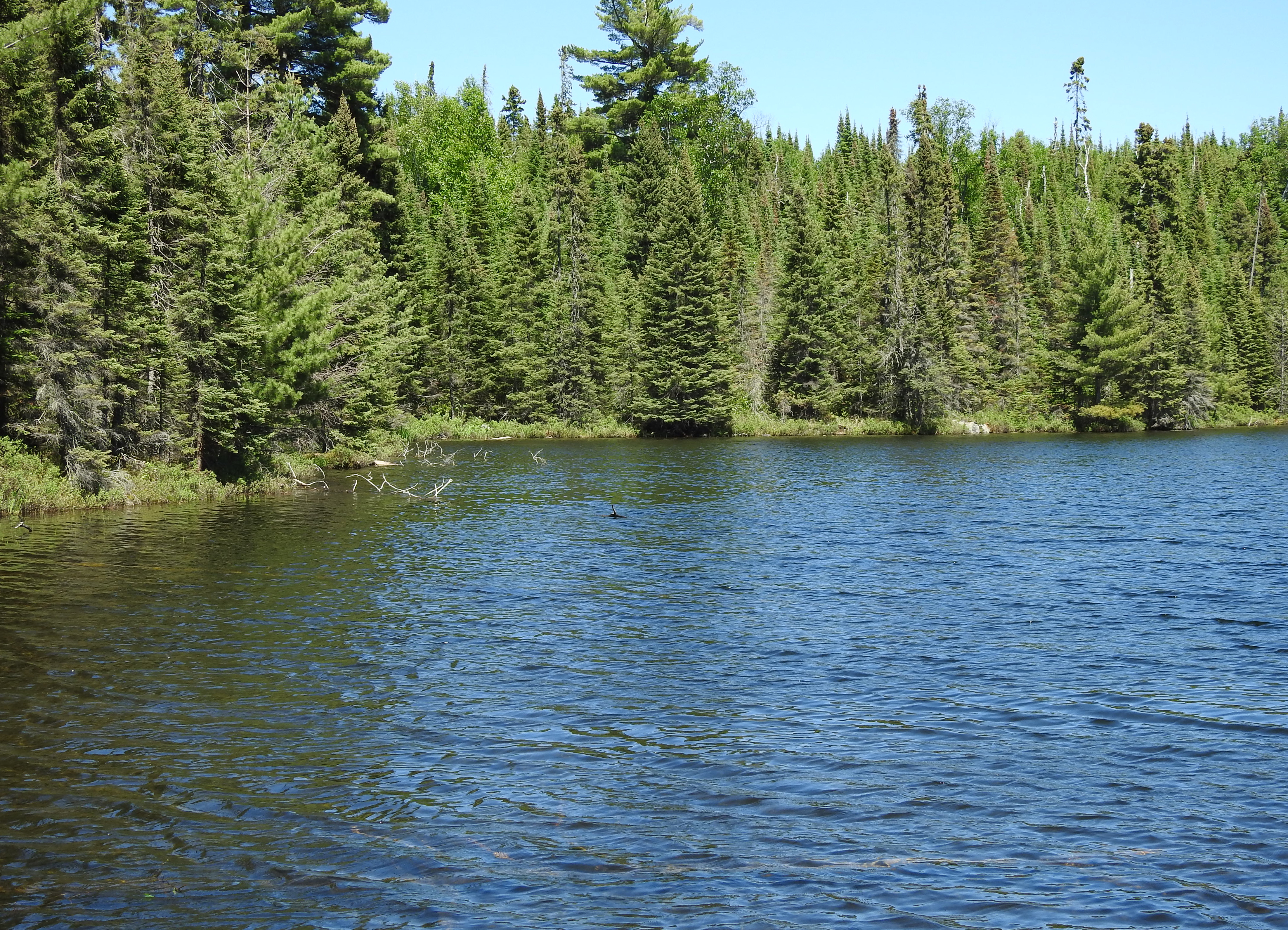
Mavis Lake right out in front of the end of the Missing Link Lake bushwhack. This view is to the east/southeast.
Near shoreline to the left. This would be the northwest and north shore of the lake.
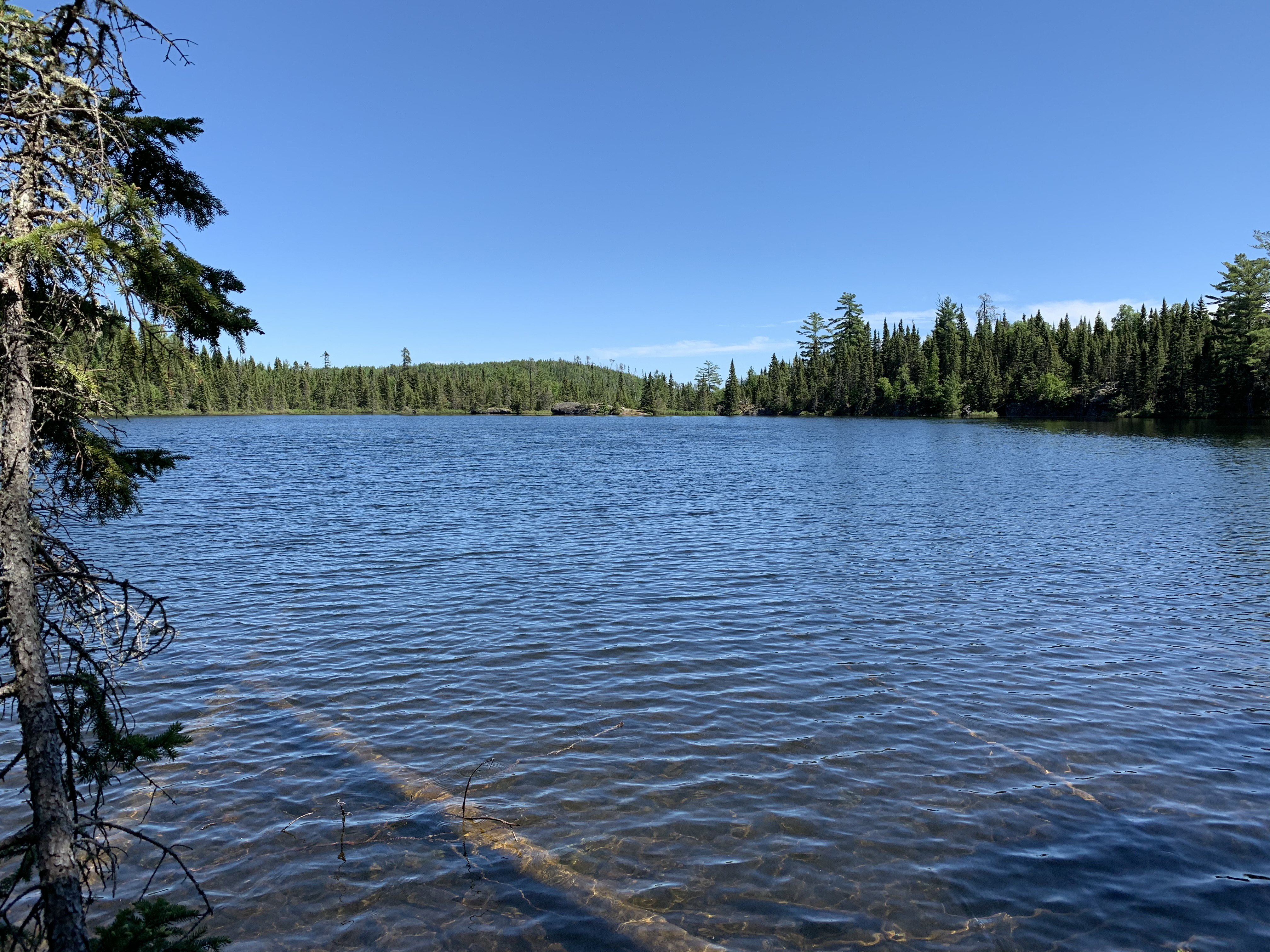
Continuing to turn your gaze to the right. This is the north/northeast shore of the lake. That boulder just right of center is right about the middle of the north shore of Mavis Lake.
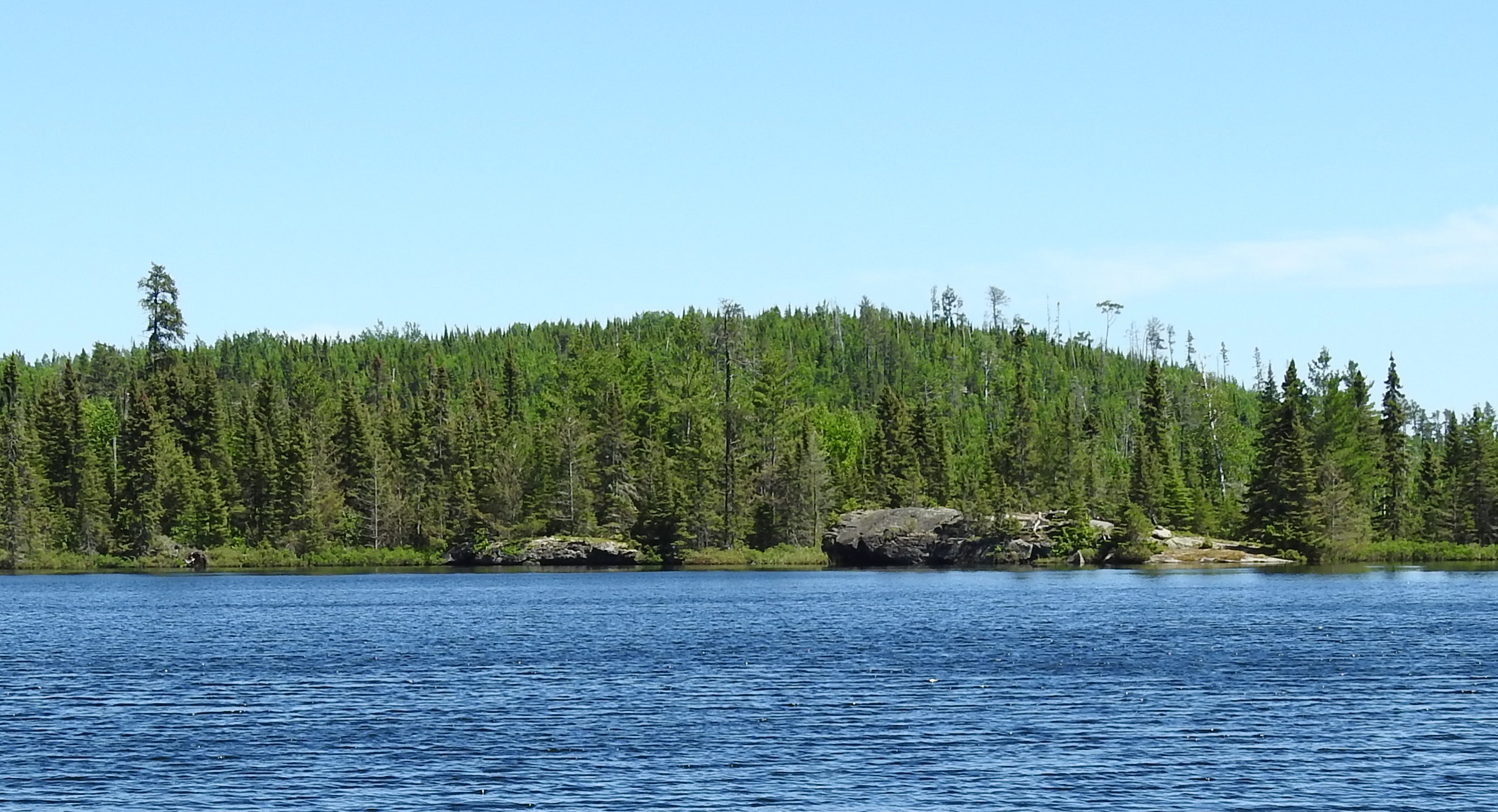
Peering to the east southeast as your continue in a clockwise view of the lake. That rock formation on the otherside of the lake is straight across the water from the end of the Missing Link Lake bushwhack (where you are standing).
Telephoto view zooming in a bit on the far shoreline (view to the east).
Closeup of the far shoreline.
Continuing clockwise, we now see the south and southeast shoreline of Mavis Lake.
Looking to the southeast. This would be the southwest shore of Mavis Lake. That concludes a full circle view of the lake.
Leaving Mavis Lake
Bushwhacking from the shore of Mavis Lake back to Missing Link Lake.