Myth Lake
Tofte Ranger District
The shoreline of Myth Lake was nearly completely burned by the Pagami Creek fire in 2011.
The lake changes size quite a bit depending on water levels. The part of the lake near the Powwow Trail is a muddy bog in late summer, but it fills in with water during wetter periods.
Superstition Creek flows through Myth Lake. This creek exits the south end of the lake over a beaver dam that is used by the Powwow Trail for the crossing.
Exploring Myth Lake
Click on the photos below to see the full resolution image - Use your browsers back button to close photo and return to this page.
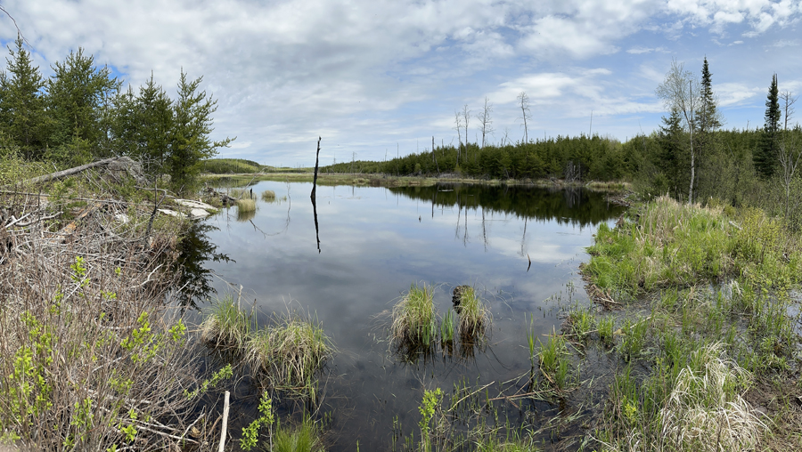
View of Myth Lake from the Powwow Trail. This photo is when the lakes water level is elevated (May 26, 2024).
Route Connections for Myth Lake
Myth Lake is accessible from the Powwow Hiking Trail.
Return to Top of Page
|


