Flapper Lake
» Display Flapper Lake Map
» Display scrollable USGS Topo Map of Flapper Lake
» Show Simple Flapper Lake Map
Nearest Entry Point: Powwow Hiking Trail #86 Fishing: N/A
Maps: F-4, F-31; McKenzie #19 Lake Depth: N/A
Fire History: 2011
Lake Size: About 10 acres
Campsites: None Wildlife Seen on Visit: None
Last Visited: May 26, 2024 Lake Elevation: About 1520 feet
Water Clarity: N/A

ROUTES/PORTAGES FROM FLAPPER LAKE:
Access to: Powwow Trail

Flapper Lake

Tofte Ranger District

Flapper Lake had its shoreline nearly completely burned by the 2011 Pagami Creek fire. Only a tiny clump of forest on both the north and south tips of the lake escaped the inferno.

The lake is briefly visible from the Powwow Trail. A small creek flows out of the south end of the lake. The creek ends after roughly 1,000 feet at Pelt Creek.

Exploring Flapper Lake

Click on the photos below to see the full resolution image - Use your browsers back button to close photo and return to this page.

Flapper Lake 1
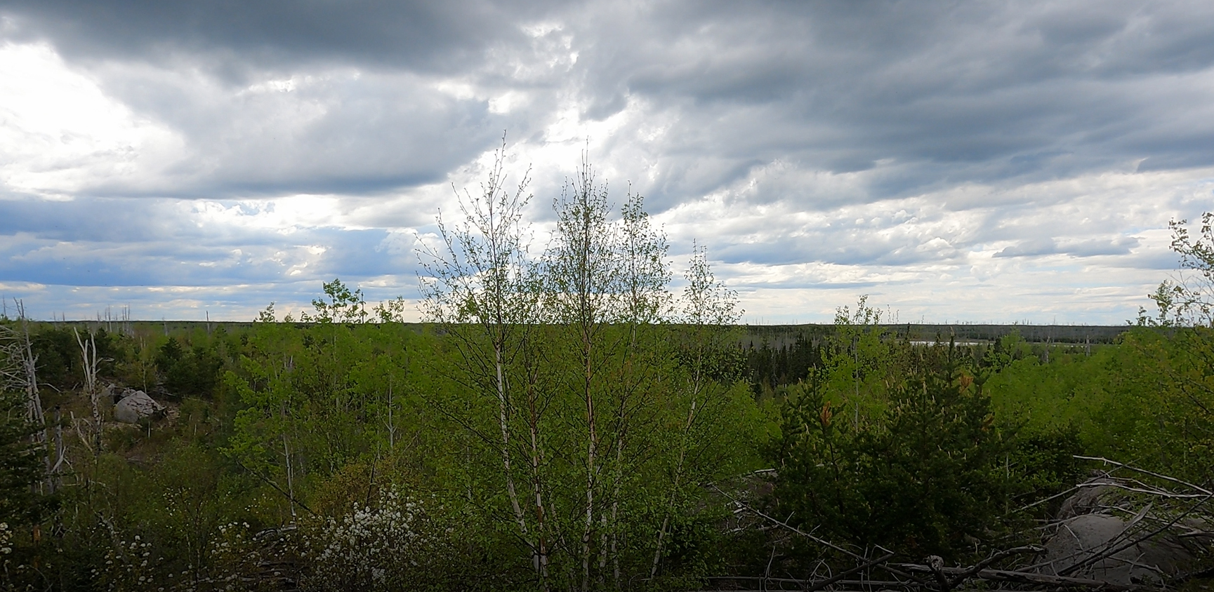
Flapper Lake is just visible in the distance on the right side of the image. This view is from the Powwow Trail (May 26, 2024).


Route Connections for Flapper Lake

Flapper Lake can be seen from the Powwow Hiking Trail.

Return to Top of Page


PMA #1: Weeny PMA #4: Tick PMA #7: Pitfall PMA #10: Hairy
PMA #2: Canthook PMA #5: Spider PMA #8: Mugwump PMA #11: Weasel
PMA #3: Sundial PMA #6: Drag PMA #9: Humpback PMA #12: Fungus
- www.BWCAwild.com - All Rights Reserved.
All images, videos and text property of www.BWCAwild.com - No reuse without permission.
DISCLAIMER AND TERMS OF USE --- CONTACT US --- PRIVACY POLICY