Exploit Lake
» Display Exploit Lake Map
» Display scrollable USGS Topo Map of Exploit Lake
» Show Simple Exploit Lake Map
Nearest Entry Point: Powwow Hiking Trail #86 Fishing: N/A
Maps: F-4, F-31; McKenzie #19 Lake Depth: N/A
Fire History: 2011
Lake Size: About 10 acres
Campsites: None Wildlife Seen on Visit: None
Last Visited: May 26, 2024 Lake Elevation: About 1515 feet
Water Clarity: N/A

ROUTES/PORTAGES FROM EXPLOIT LAKE:
Access to: Powwow Trail

Exploit Lake

Tofte Ranger District

Exploit Lake had its shoreline almost completely charred by the Pagami Creek fire in 2011.

The lake is barely visible from the Powwow Trail. Superstition Creek flows through the lake.

Exploring Exploit Lake

Click on the photos below to see the full resolution image - Use your browsers back button to close photo and return to this page.


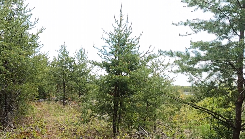
Exploit Lake is barely visible on the right side of the image. This view is from the Powwow Trail.

Route Connections for Exploit Lake

Exploit Lake is accessible from the Powwow Hiking Trail.

Return to Top of Page


PMA #1: Weeny PMA #4: Tick PMA #7: Pitfall PMA #10: Hairy
PMA #2: Canthook PMA #5: Spider PMA #8: Mugwump PMA #11: Weasel
PMA #3: Sundial PMA #6: Drag PMA #9: Humpback PMA #12: Fungus
- www.BWCAwild.com - All Rights Reserved.
All images, videos and text property of www.BWCAwild.com - No reuse without permission.
DISCLAIMER AND TERMS OF USE --- CONTACT US --- PRIVACY POLICY