Campfire Lake
Tofte Ranger District
CAMPFIRE LAKE CAMPSITE:
Campsite 1 (#2259) - Only campsite on the lake and it's accessible from the Powwow Trail
Some trees along the south side of the lake escaped the Pagami Creek Fire. The rest of the shoreline that isn't marsh was burned in 2011.
There is one campsite on the lake on the eastern side. This campsite is along the Powwow Trail.
Superstition Creek flows through Campfire Lake, exiting in the lakes southwest corner.
Exploring Campfire Lake
Click on the photos below to see the full resolution image - Use your browsers back button to close photo and return to this page.
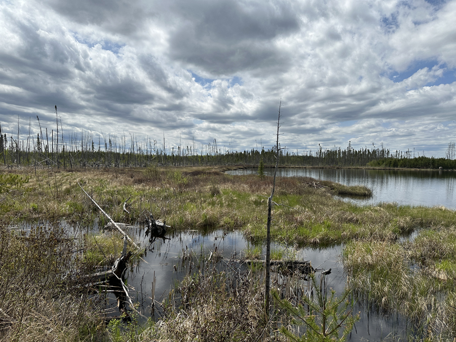
View to the southwest from the lakes only campsite (May 26, 2024).

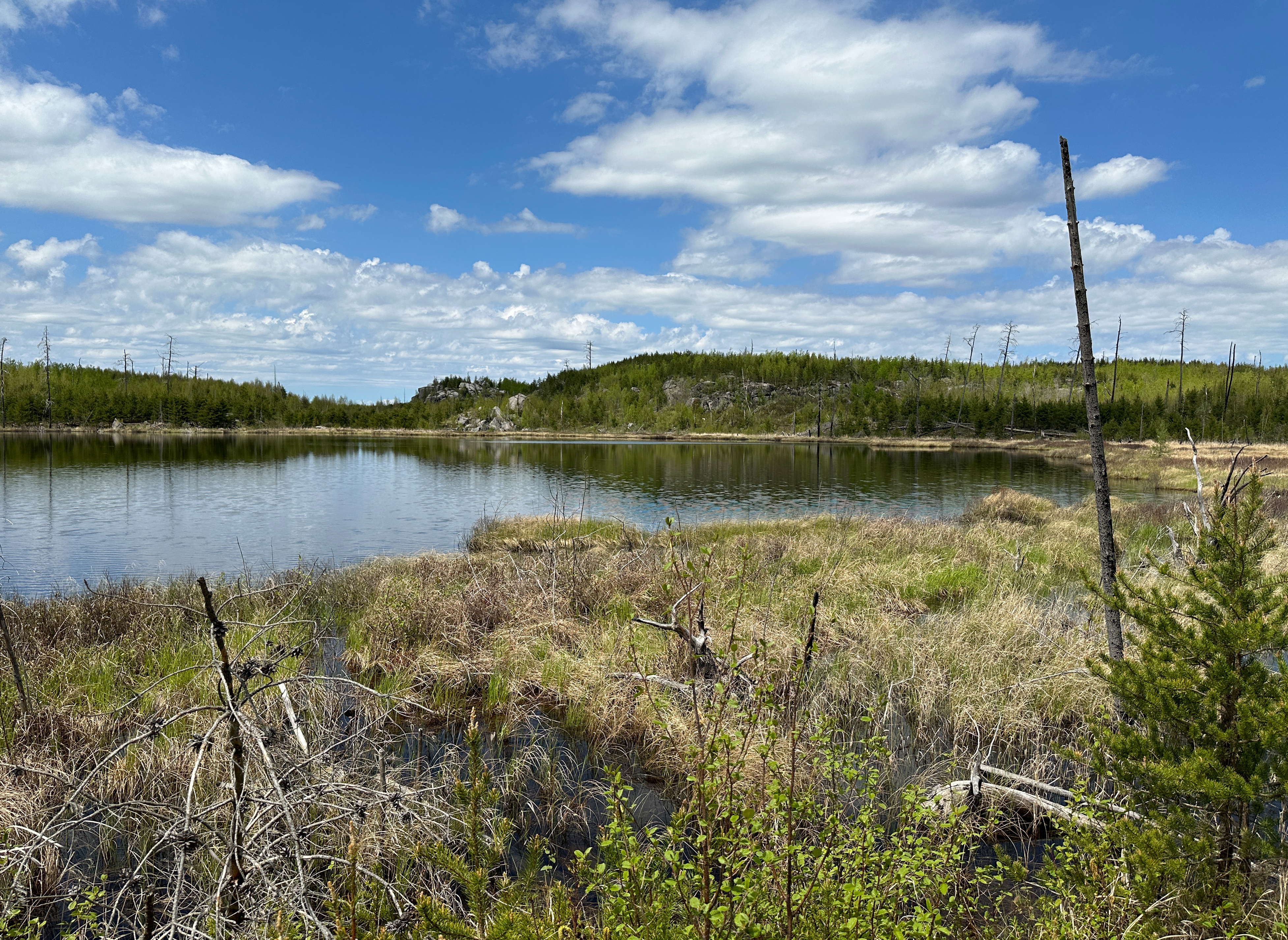
North view from near the campsite. Superstition Creek flows into the lake just to the left of the rock outcrop on the opposite shoreline (May 26, 2024).
Route Connections for Campfire Lake
Campfire Lake is accessible from the Powwow Hiking Trail.
Return to Top of Page
|