Saucer Lake
Gunflint Ranger District
Small shallow lake lying about 800 feet east of the eastern end of Gunflint Lake. This lake can only be reached by bushwhacking. However, it can be seen from a distance from the Border Route Trail which runs along a high ridge to the south of Saucer Lake.
The lake is probably named for it being shaped like a saucer plate.
Saucer Lake appears to be part of a large marsh drainage that flows eastward into Frances Bay on North Lake.
Exploring Saucer Lake
Click on the photos below to see the full resolution image - Use your browsers back button to close photo and return to this page.

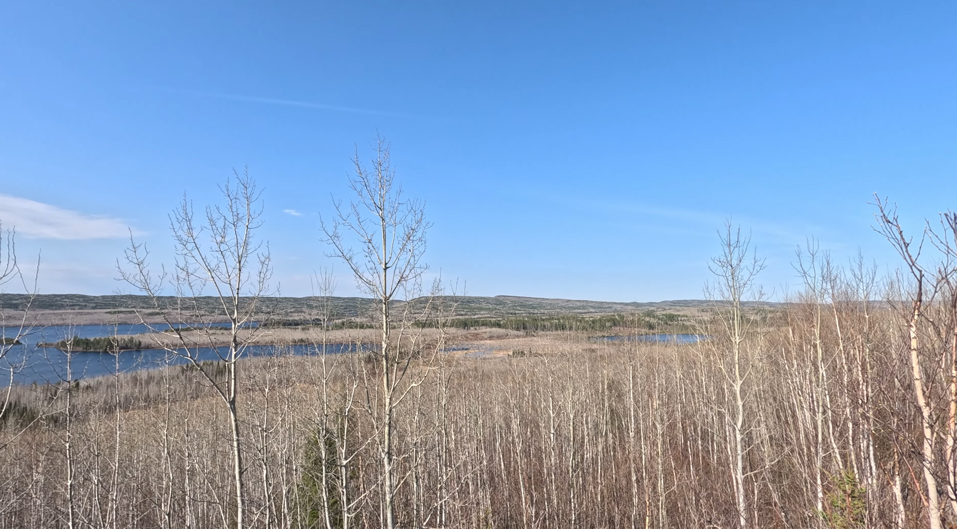
Saucer Lake is visible just right of center somewhat obscured by the young trees. Gunflint Lake is on the left side of the image. View is from an overlook along the Border Route Trail. The hills in the far distance are in Canada.
Route Connections for Saucer Lake
No routes for Saucer Lake.
Return to Top of Page
|