This is the view from near the summit of Eagle Mountain, the highest point in the Boundary Waters Canoe Area and the highest point in the State of Minnesota at 2,301 feet. (Lake Superior is the lowest point in Minnesota at 602 feet.) You reach the top of Eagle Mountain by following the Eagle Mountain Trail. Note that the true summit of Eagle Mountain is back in the woods and provides no views. The summit is marked by a sign embedded into a large rock and is just a short walk from the view you see above. Follow the trail.
Click on the photos below to see the full resolution image - Use your browsers back button to close photo and return to this page.
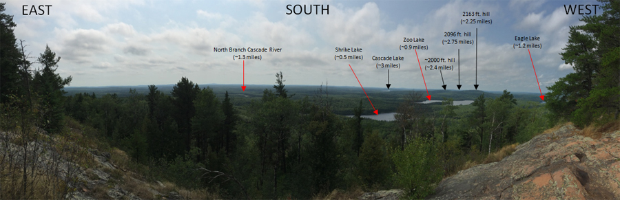
A brief panning view looking toward the south from near the summit of Eagle Mountain. The pan is from east to west.
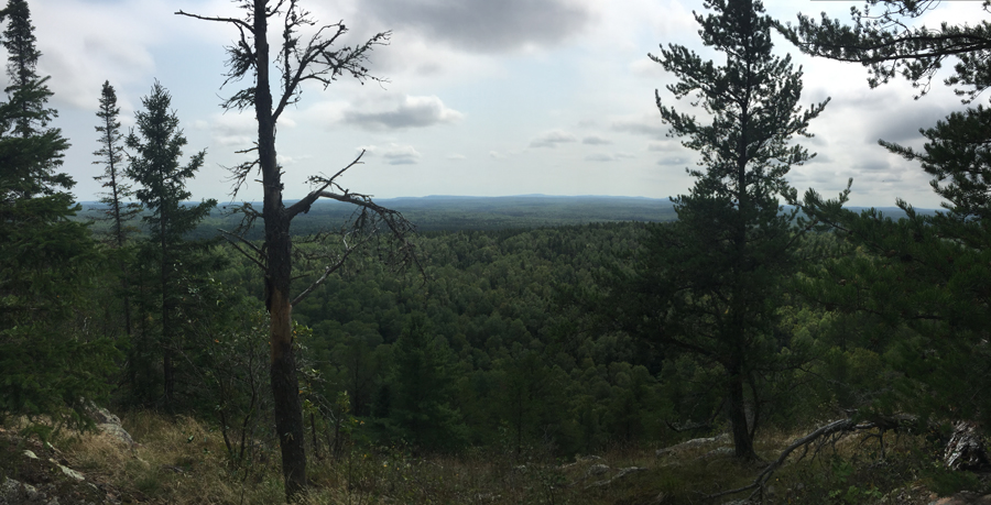
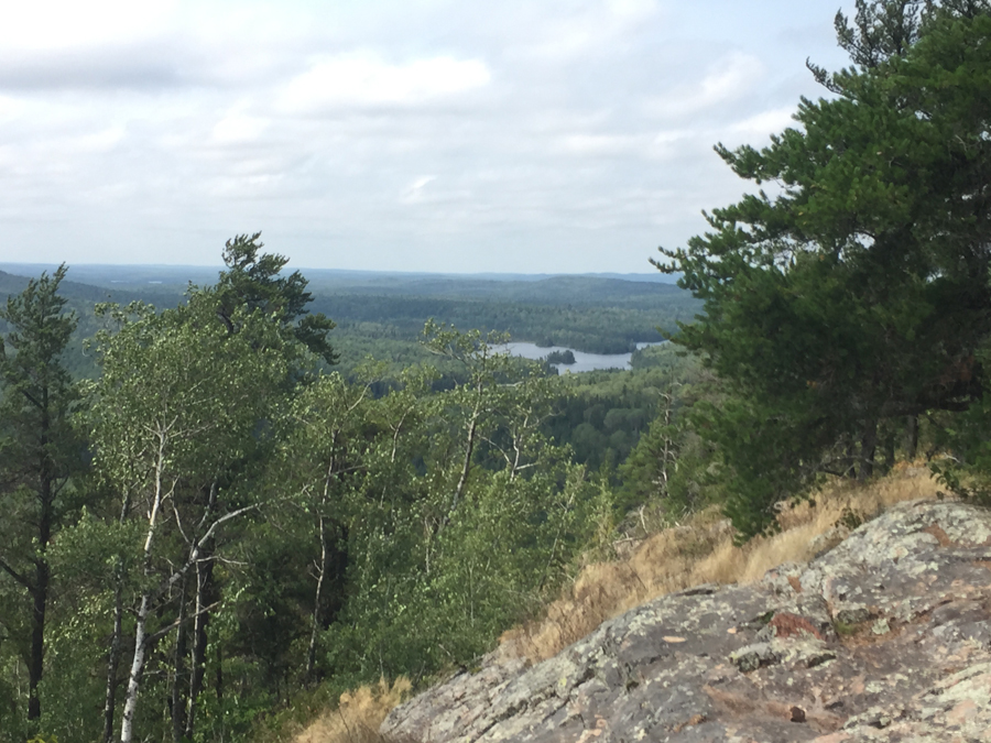
Once you reach the summit ridge after coming up the trail through the forest, you are finally rewarded your first good view from high up on Eagle Mountain. Continue past this view to an even better one beyond and also to the real summit of Eagle Mountain.
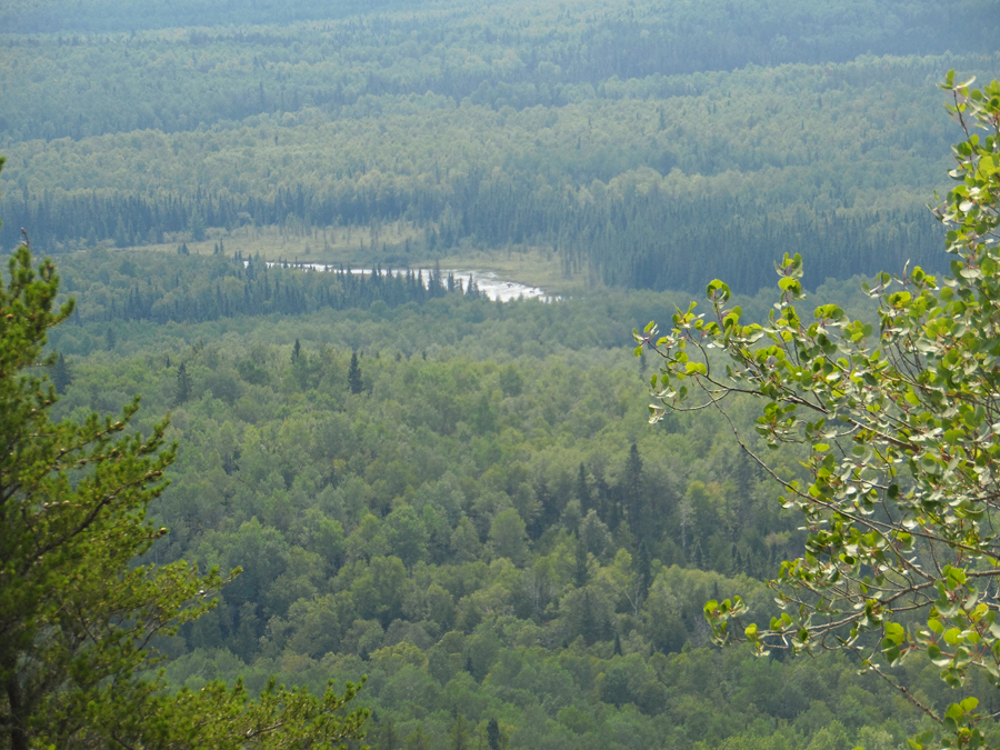
Referencing the labeled pano view above, this is a closer look at Shrike Lake, which is a small lake in the BWCA.
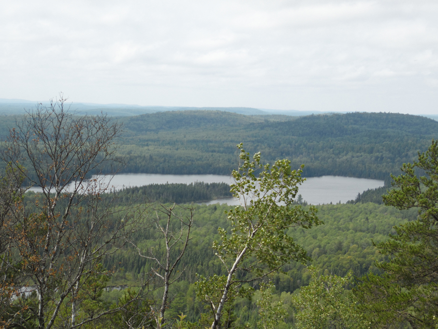
Referencing the labeled pano view above, this is a closer look at Zoo Lake which is a remote lake in the BWCA. The three 2000+ foot hills in the distance beyond Zoo Lake are shown here. The one in the middle looks much shorter, but that is because it is farther away.
Referencing the labeled pano view above, this is a closer look at Eagle Lake which is a small lake rarely visited lake in the BWCA.
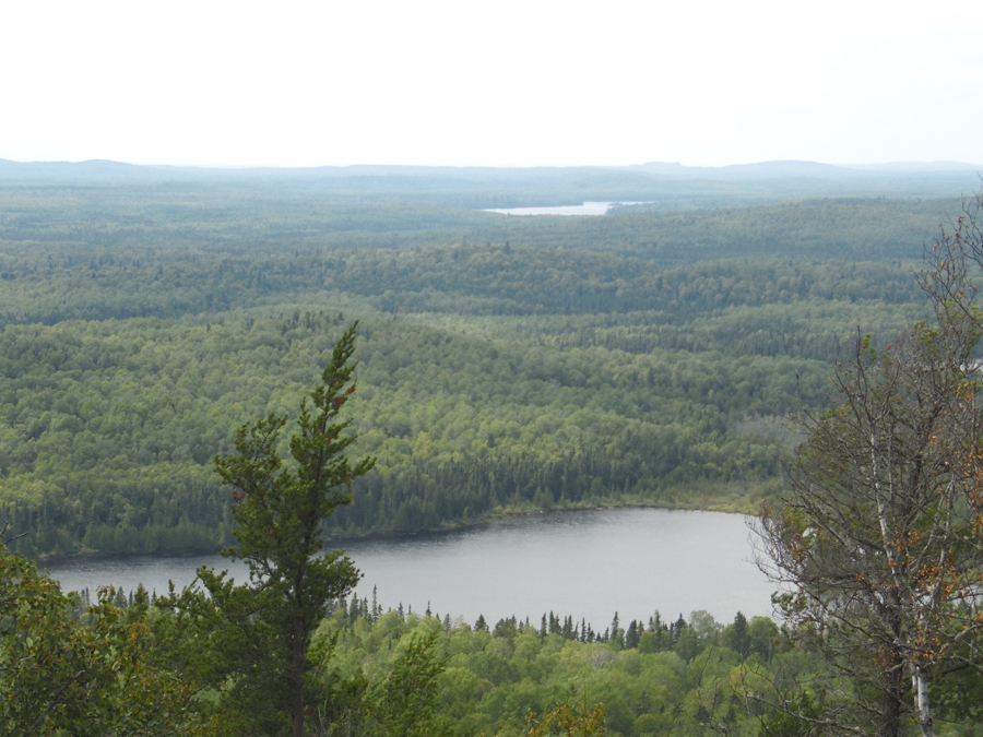
Referencing the labeled pano view above, this is a closer look at Cascade Lake which is a good-zied lake that is just outside of the BWCA. Cascade Lake is the source of the Cascade River. Cascade Lake has boat access off The Grade road, which is the same road that the Eagle Mountain Trail parking lot is accessed from.
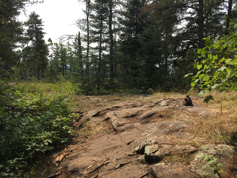
Note the small cairn to the right of your view here. Use these to find the trail that leads back into the forest and the real summit of Eagle Mountain.
Follow this short trail to the actual summit of Eagle Mountain. It can be hard to notice this trail, so look for the rock piles (cairns) that mark the start of the route.
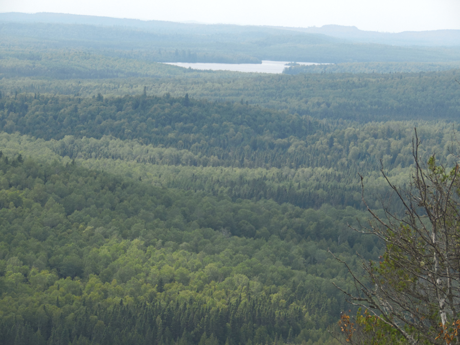
This is the view looking south from the true summit of Eagle Mountain. The view from the other three cardinal directions are about the same.
This is the true summit of Eagle Mountain. There is no view from here; it is back in the woods. Follow the short trail usually marked by cairns to find it (August 2015).
Similar view, but about six years later. The plaque has weathered quite a bit in the interim. There is also now a summit register located here (April 2021).
The summit register is in an old metal first aid kit box (April 2021).