Click on the photos below to see the full resolution image - Use your browsers back button to close photo and return to this page.
Good canoe landing. Fire grate is well placed. Plenty of shoreline access. There are four solid tent pads and maybe a couple other not so good ones. There is a brushy trail that leads to the islands other campsite (BWCA Campsite 943). Heavily utilized campsite able to support maximum BWCA group size. You will likely hear campers at any of the three nearby campsites. Also the campsite is on a heavily used canoe route between BWCA Entry Point 41 and the Lily Lake portage.
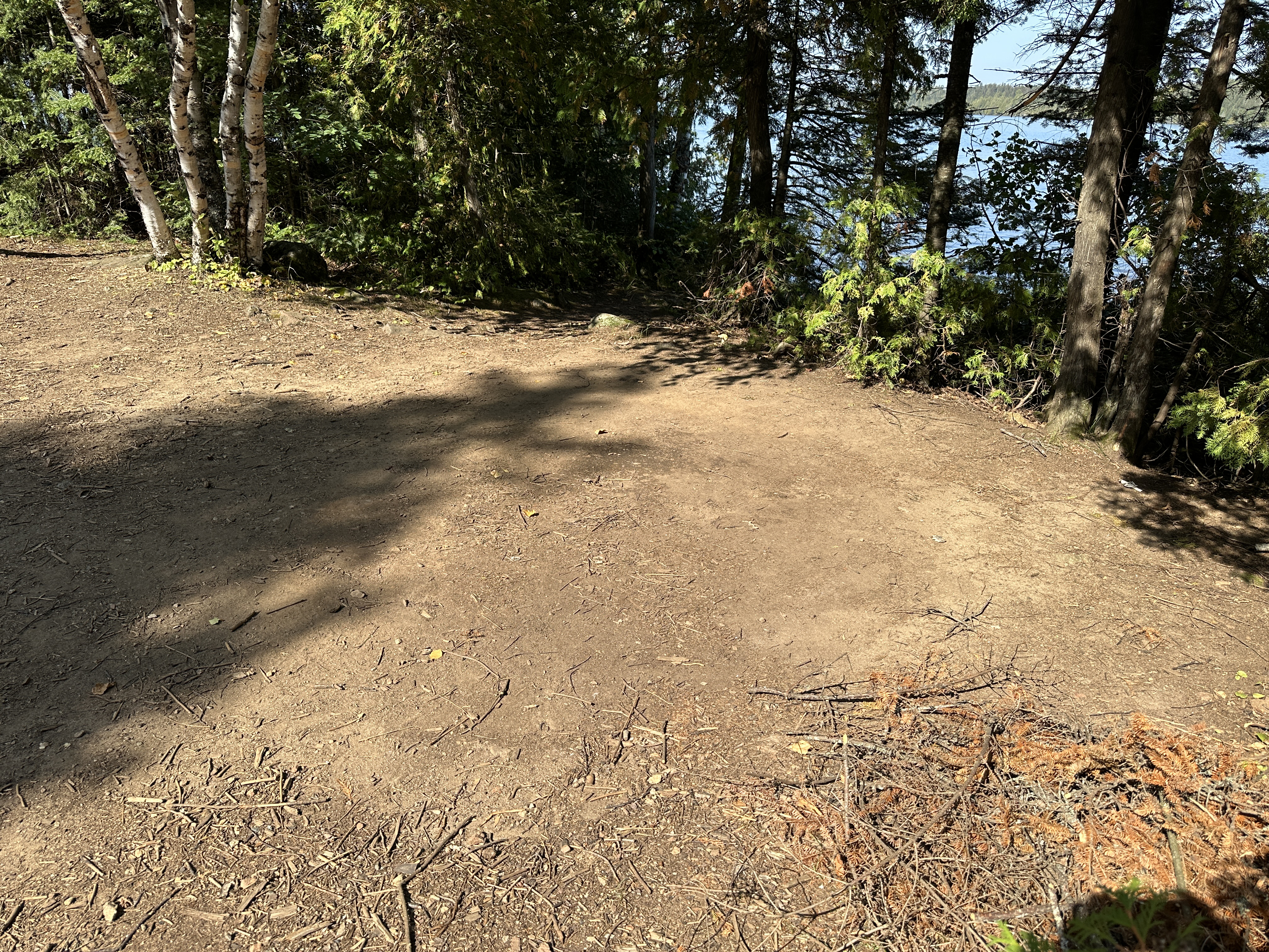
The landing is just great.
The fire grate is in a nice clearing would good access to the water.
Another look at this kitchen.
Large, flat tent pad.
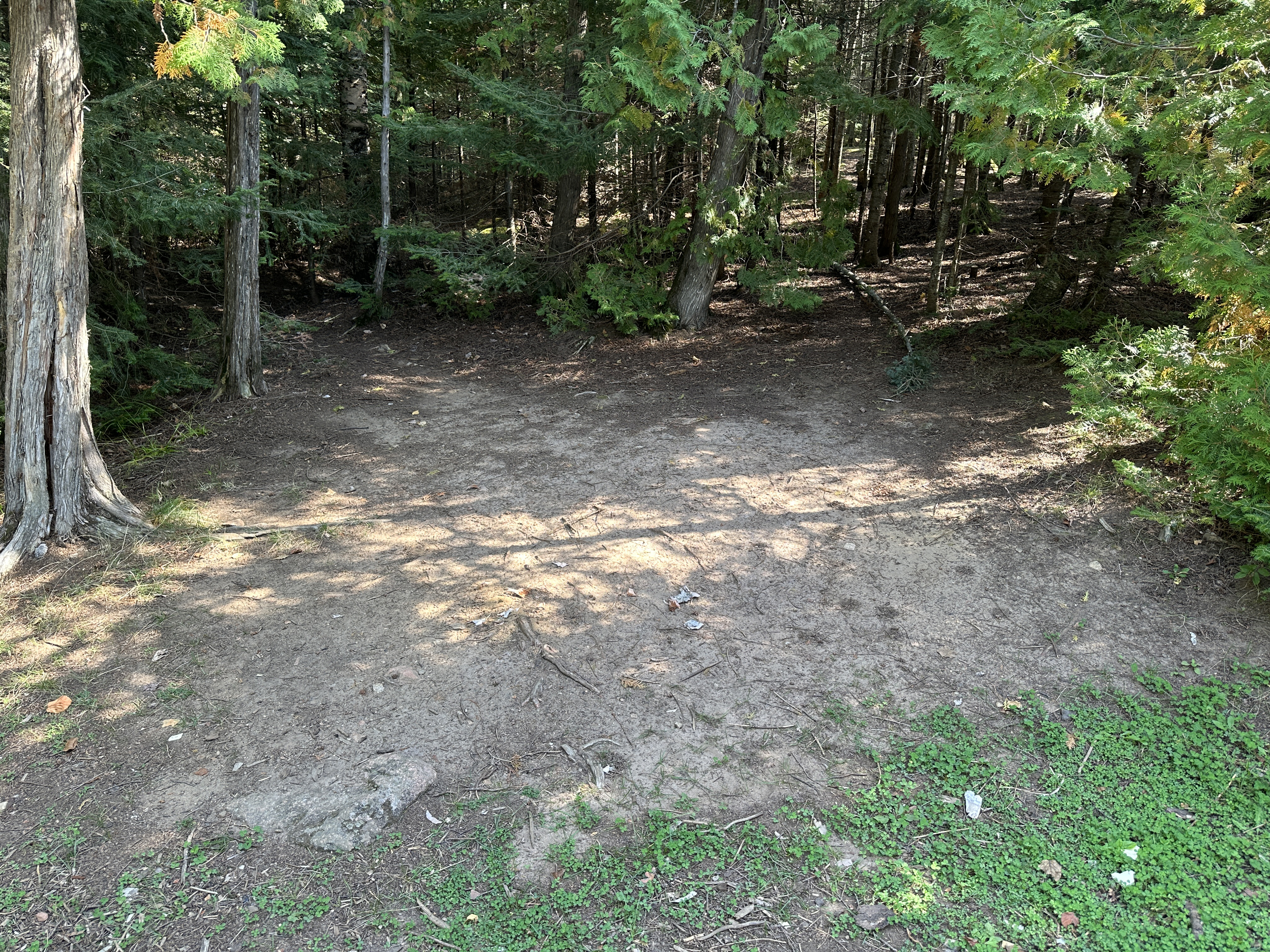
You'll have no trouble finding a good location to pop up a tent at this campsite.
Another tent pad.
This is another tent pad.
The throne. I am King of the Island!
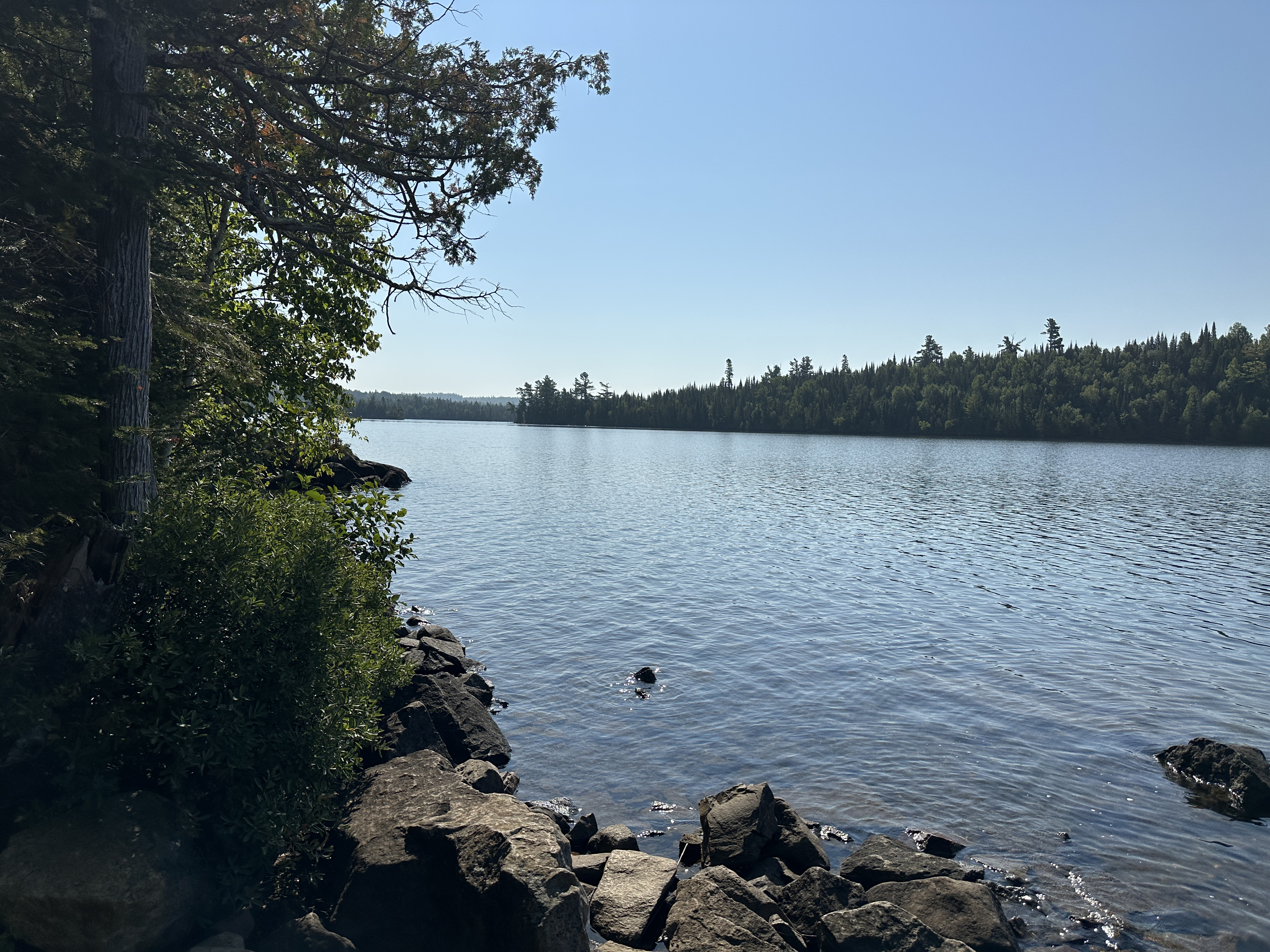
The island to the south is visible in this image. BWCA Campsite is on the point, just left of center.
I think this view is towards the southwest, but not absolutely certain.
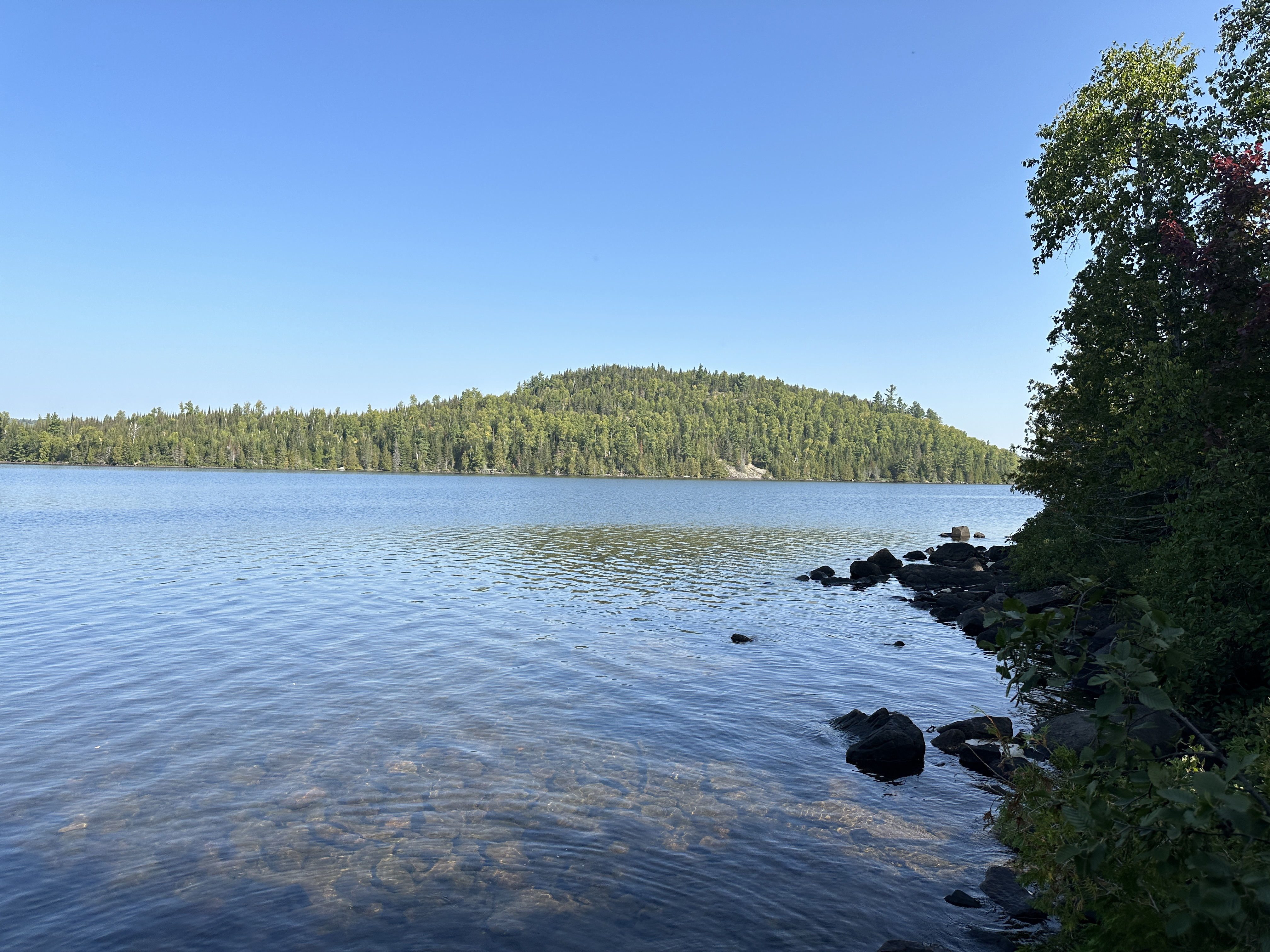
View is towards the north. That high hill rises to 2,014 feet above sea level. For a sense of scale, the surface of Brule Lake is at 1,834 feet. So that hill is about 180 feet high (excluding the height of the trees on top of it).
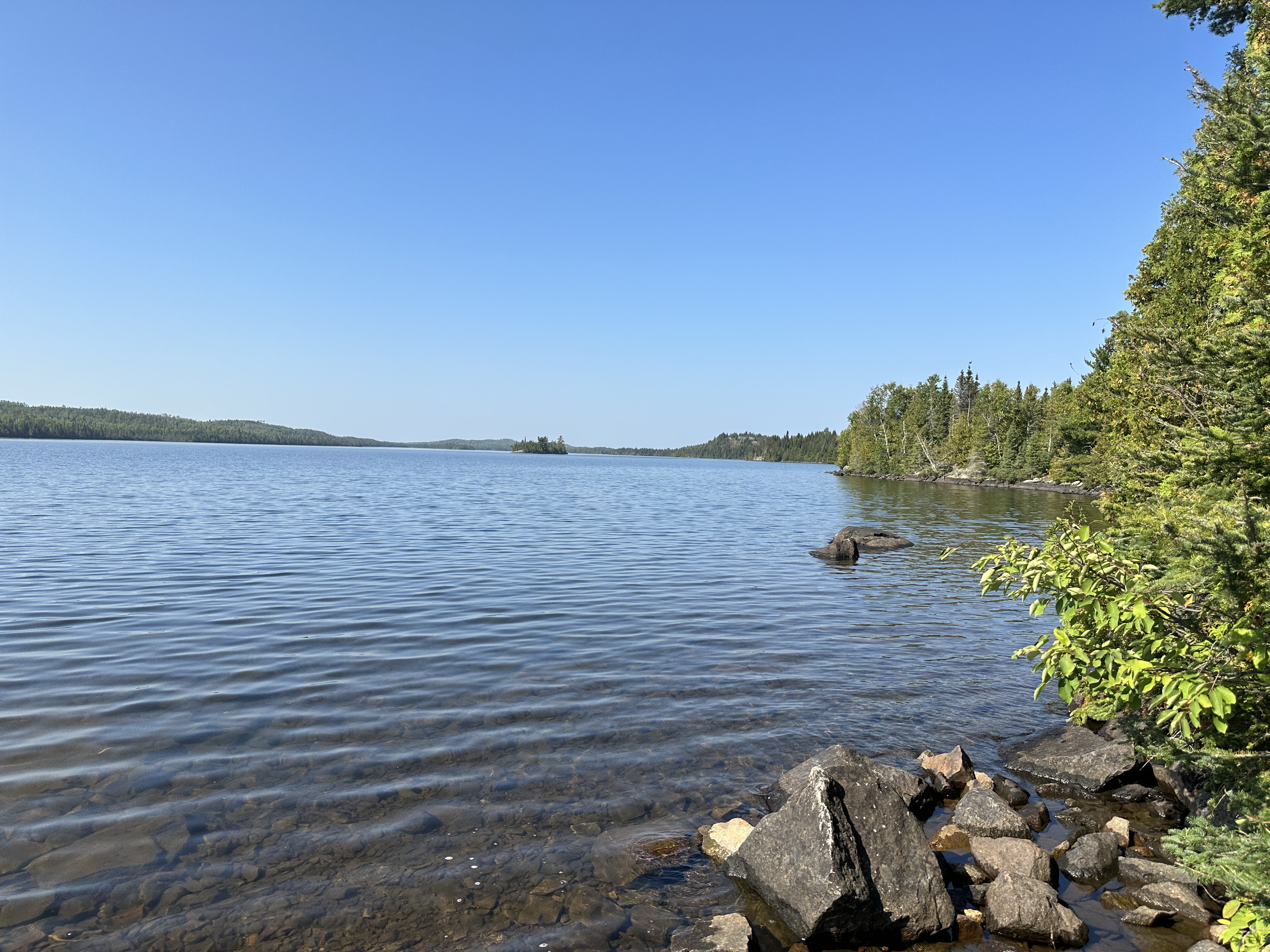
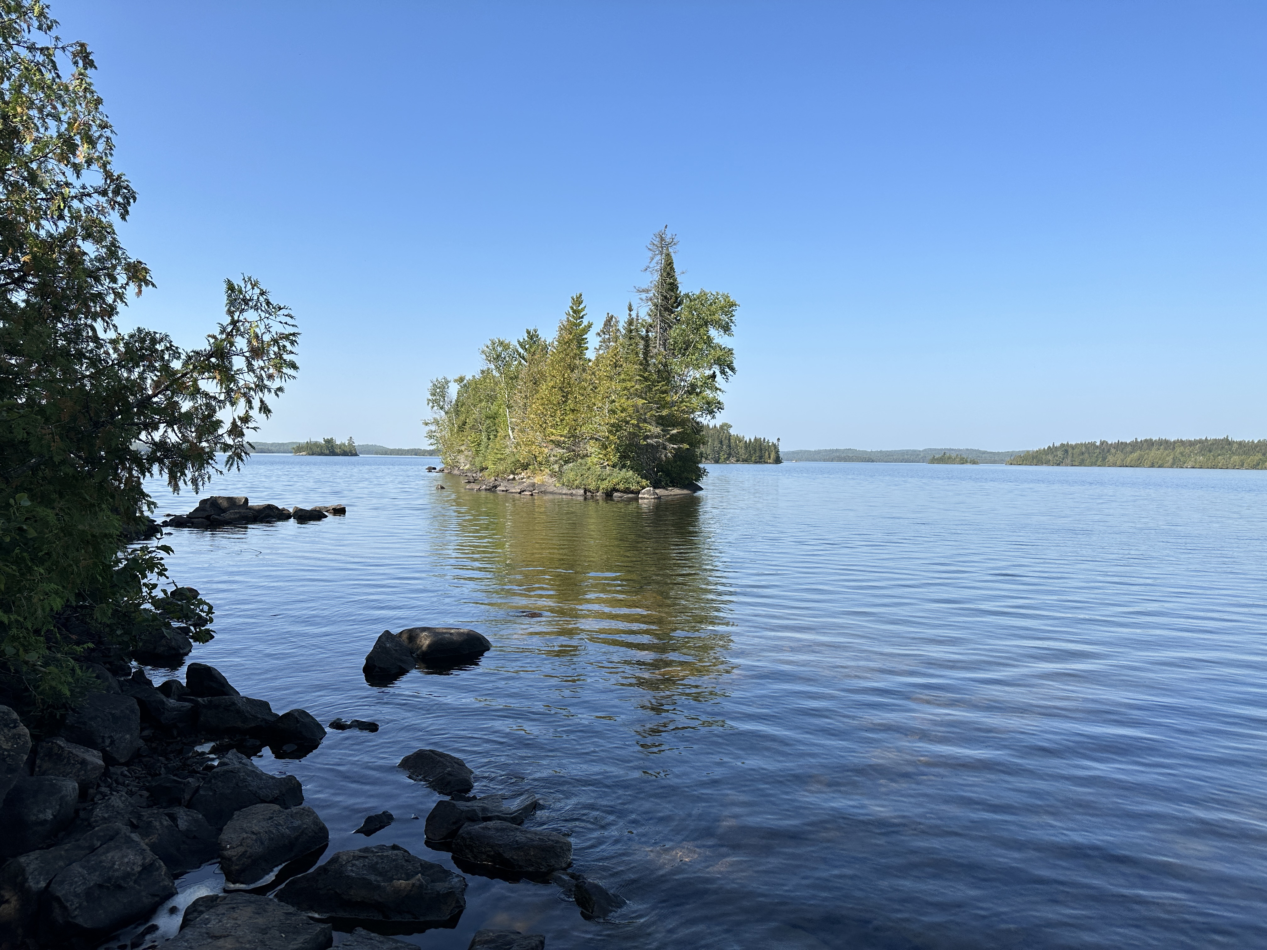
Little island just west of the campsite.
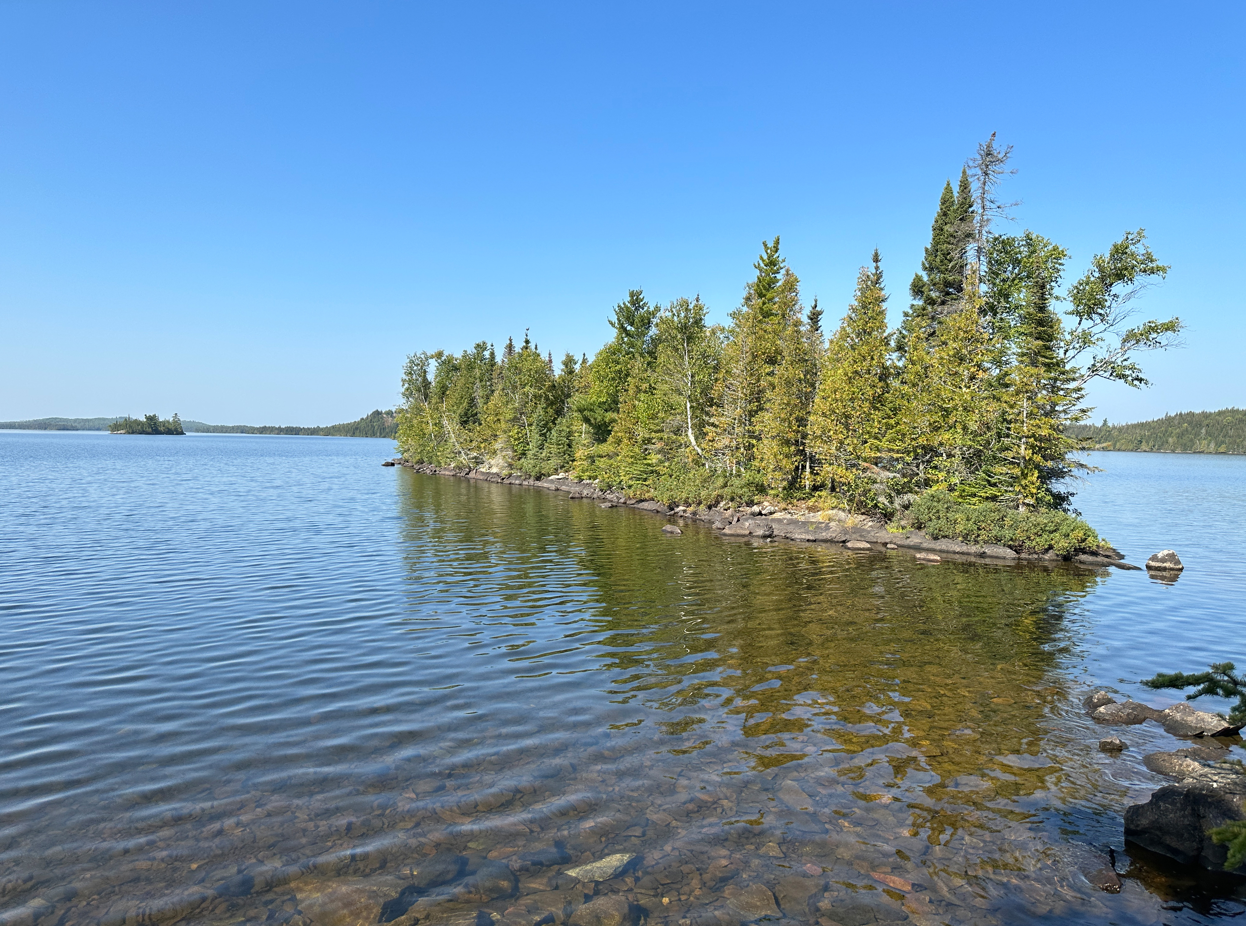
Another view of the small island just west of the campsite. That tiny island to the far left is 2,700 feet away.